All Activity
- Past hour
-
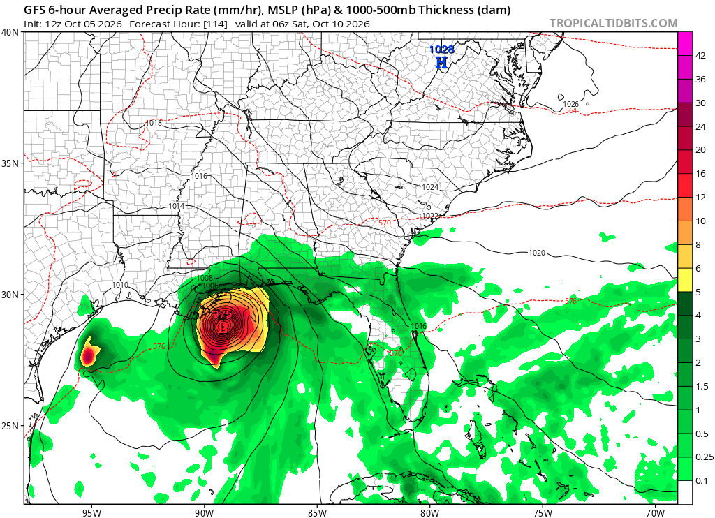
 Gfs
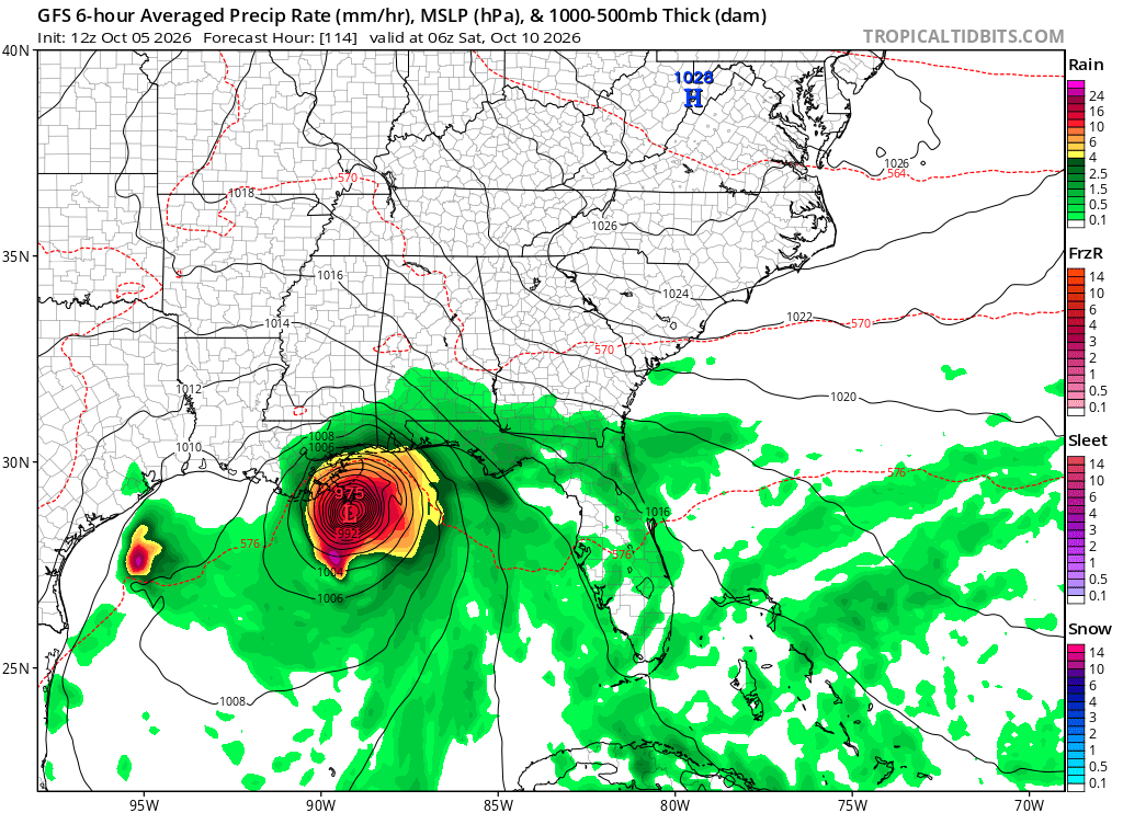
Gfs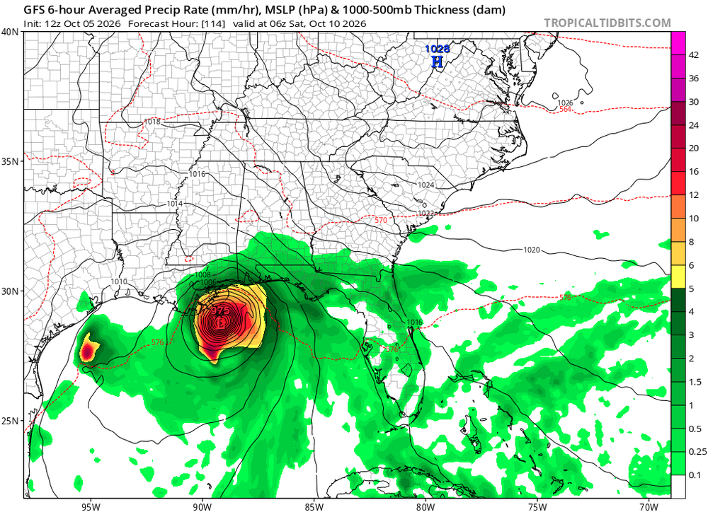
-
-
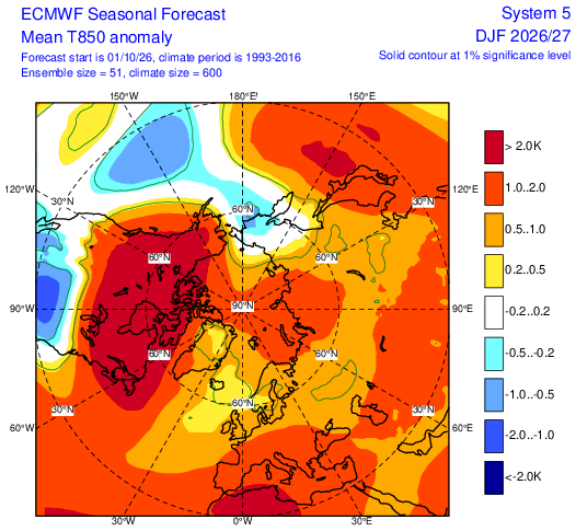
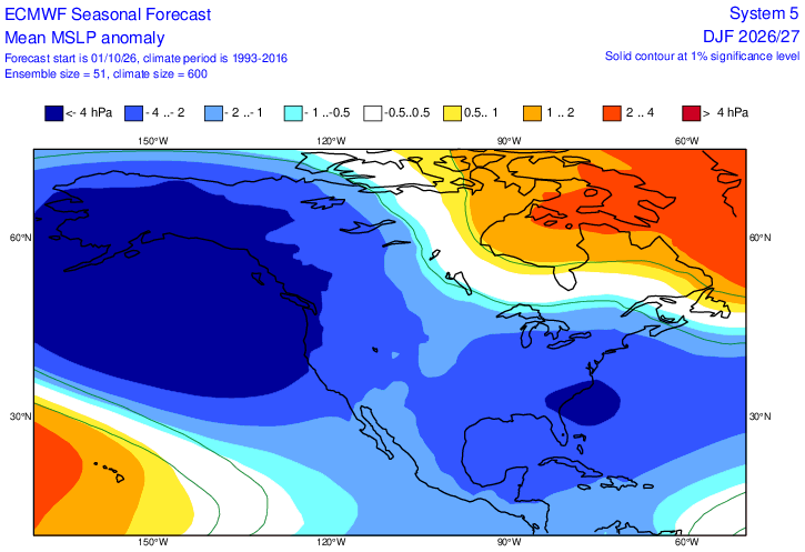
I'll try this again. Lol I like how the Euro has 850 temp anomalies for most of the forum under 1C for the DJF period. The SLP for the periid is tasty too. Sorry about the 850 map, but that's all money can buy you on the free site. Bncho?
-
Win one more round and lose in the 2nd round to the Penguins again? Sure
-
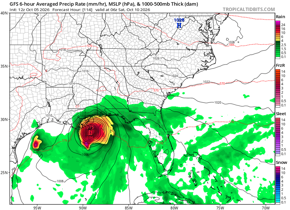
 It is possible. This storm has a runway to attain hurricane status but it not be an ideal environment. There will be westerly shear and dry air impacting the storm to some extent though if this is moving to the NE the shear vector may not be that unfavorable. Also, divergent flow aloft on the east side means this could be a strong, lopsided system. If the surface circulation gets hung up or moves more west it seems (based on ensembles) the shear and dry air win out. At this point we need a center to track before we reach any conclusions on the future environment but it is by no means going to be pristine. We have seen, especially in recent years, storms be able to overcome similar environments while heading NE so I wouldn't write this one off at all even given the look that certainly features westerly shear and continental air impacts at some point. This location is well known for overproducers too this time of year. Will be an interesting week, but at a minimum this looks to be a significant heavy rain event in the deep south and possibly some major drought relief in the Carolinas
 -
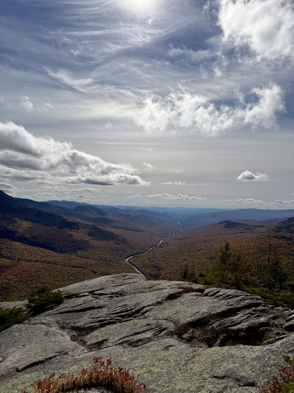
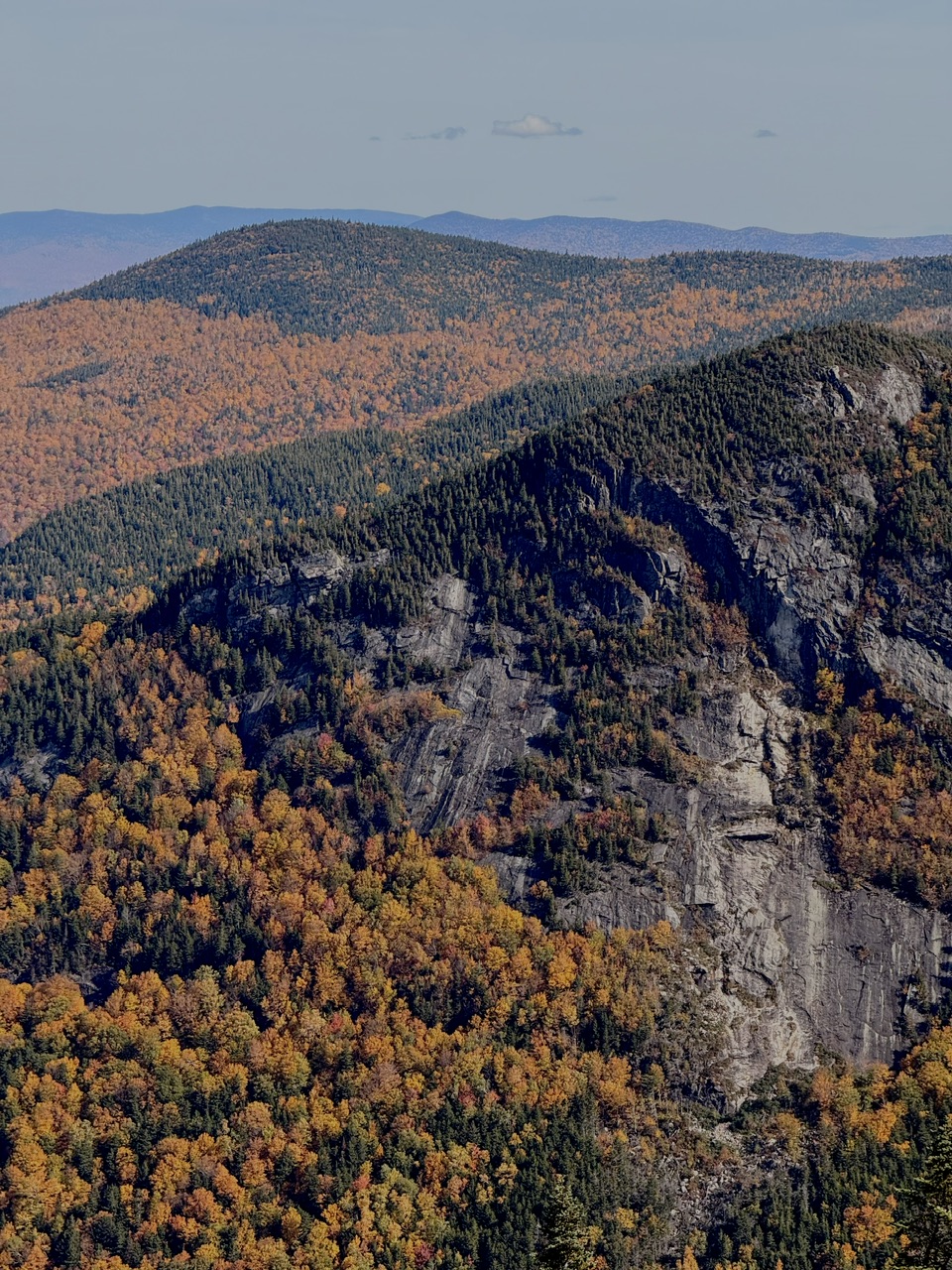
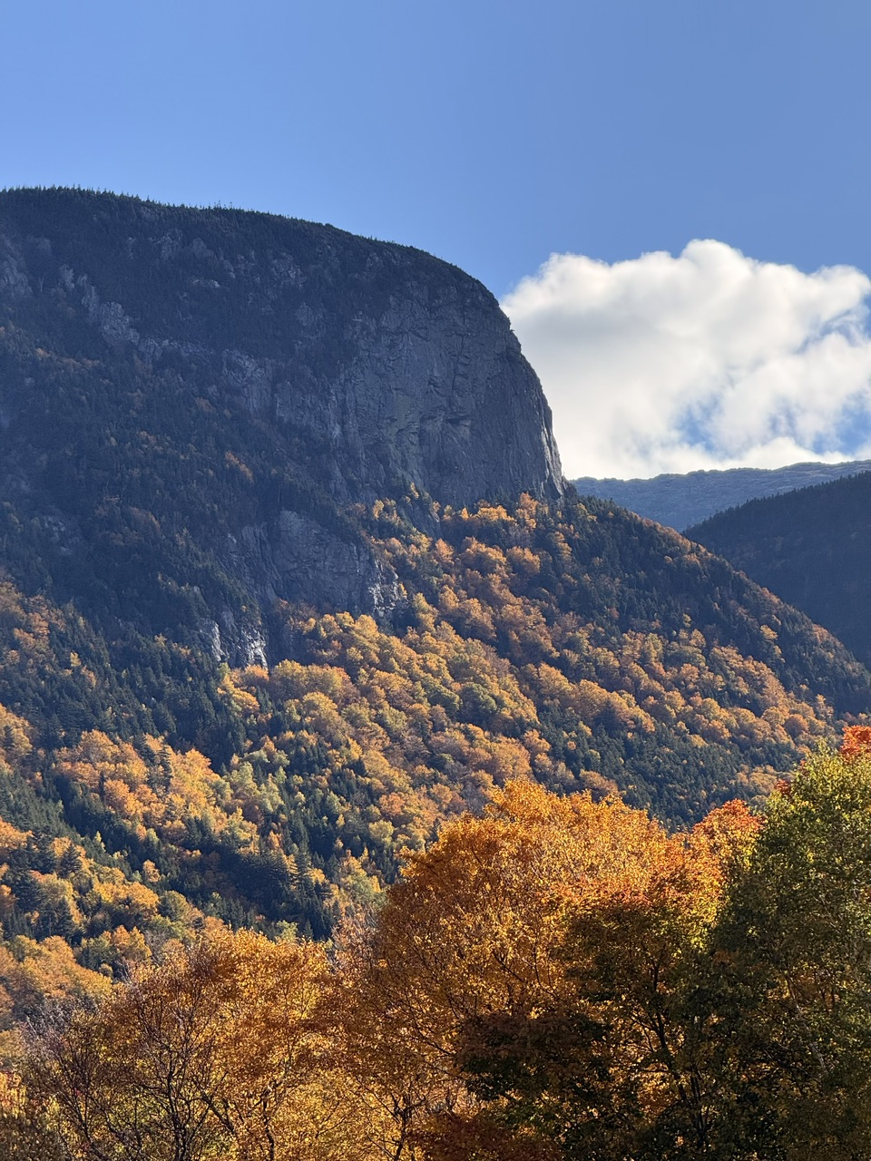
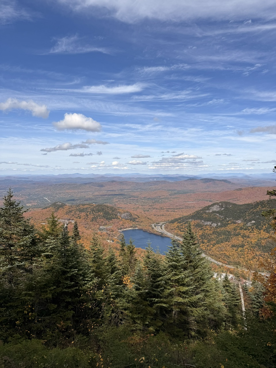
Awesome shots.
-
Really not that bad, if correct. I thought the whole USA would be red with a super nino
-
 Maybe we'll break our hurricane drought with this system
 -
The thread for the Gulf tropical threat has been started:
-
just 10-15 short days away on an OP model
-

2026-2027 Record-breaking El Nino
Keith Central PA replied to Stormchaserchuck1's topic in Weather Forecasting and Discussion
3-4 cools off to neutral by next June on CFS. Are you saying el nino will continue into 27-28? Or something like 83-84 with a weak Nina? -
Oh man we're going to see a hypercane season once El Nino breaks
-
Exactly so it's not trolling to say it will be a warm, mostly snow free winter.
-
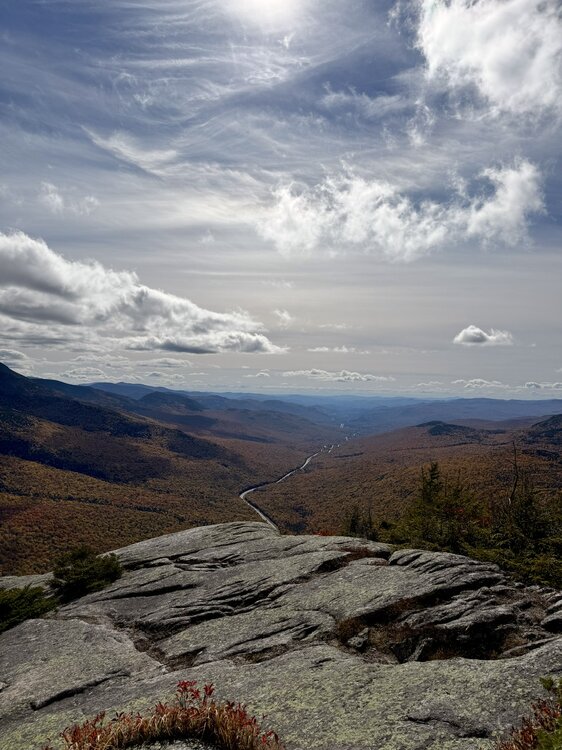
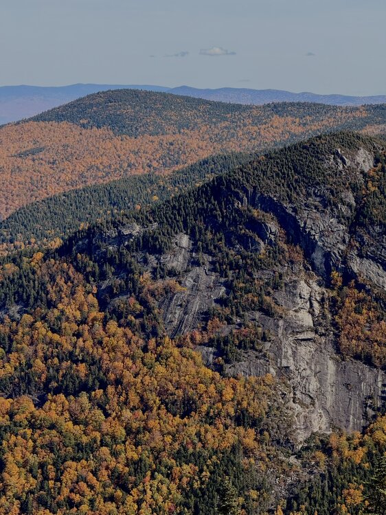
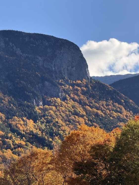
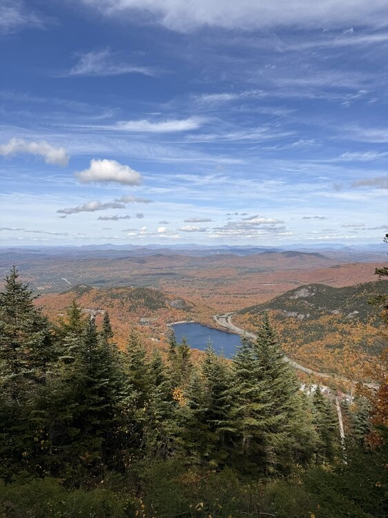
The Notch did not disappoint yesterday. No issues on Kinsman Ridge Trail, very little traffic on trail. Not crowded at all and plenty of parking. Can’t speak to the chaos over at Artist Bluff…
-
let's win one more!!
- Today
-
It's official now Caps fans... Last rodeo for Ovie https://www.prohockeyrumors.com/2026/10/alex-ovechkin-to-retire-from-nhl-after-2026-27-season.html#ref=home
-
 https://dutashielddirect.com/# can i purchase generic avodart price
 -
Yep, utter bullshit again
-
Yeah new Euro data today is warmer and wet all 3 winter months
-
 And it did come in... 5.683m km², a 1.008m increase in the last two weeks Sent from my SM-S176V using Tapatalk
 -
We'll never know...take methuen for example ...the west side is colder than the east side. That is especially true closer to Pelham. It is not unusual for that part of the city to receive more snowfall especially in "mixed" storms..
-
I don’t know how WW does this for a living it took like 10 entire minutes to copy and paste the images
-
Without even looking, I'll assume it's a bit warmer and drier, and that ridge has continued to edge southward.
-

2026-2027 Record-breaking El Nino
GaWx replied to Stormchaserchuck1's topic in Weather Forecasting and Discussion
We’re almost certainly heading for the most E based Nino on record for good or for bad. The SE ridge should be held back bigly, which would be really good from my perspective. -
extended still looking mild/nino-ish