All Activity
- Past hour
-
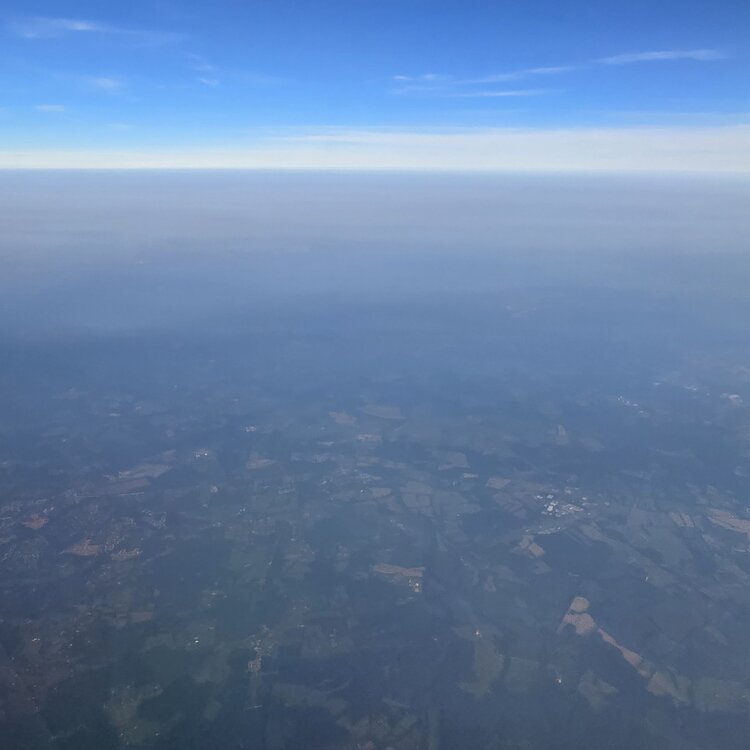
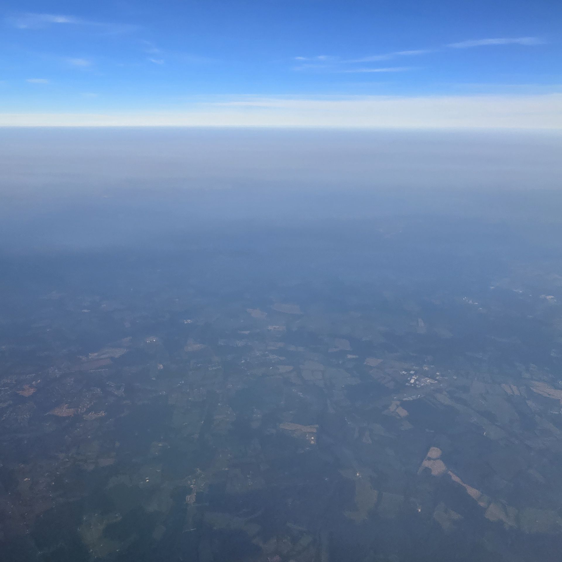
From above west of dc

-
Northwesterly flows haven’t done this area many favors over the years. Need to get a prolonged flow out of the gulf to fix this mess.
-
 Not a bad evening here. Bit smoky but light years better than the last couple days. Humidity levels nice as well.
 -
 That’s quite the storm down in SE NJ
 -
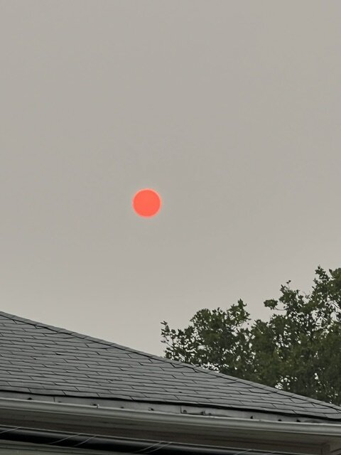
The sun is literally a red ball in the sky
-
 It’s not widespread, but decent chance for rain as of now.
 -
 Lost power… 3rd time this week with non-severe winds Gonna put together a generator thread… Generac with Kuhlman Electric is constantly advertised on WEEI
 -
The rapid expansion of the record heat and drought in Canada during the 2020s along with how remote the forests are makes this a very challenging issue with no quick fixes.
-
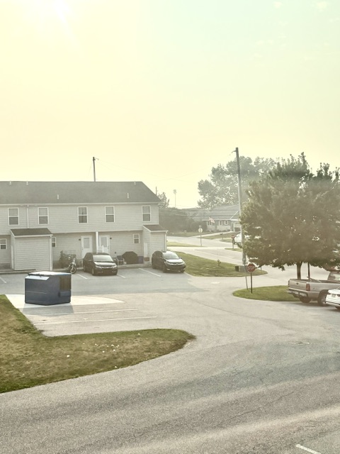
The smokiness seems to have ramped up in the last hour or so. Can barely see the Sugarloaf range and the Catoctin’s look “foggy”.
-
655 PM EDT Thu Jul 16 2026 ...A SEVERE THUNDERSTORM WARNING REMAINS IN EFFECT UNTIL 730 PM EDT FOR SOUTHEASTERN OCEAN AND EAST CENTRAL BURLINGTON COUNTIES... At 654 PM EDT, a severe thunderstorm was located over Surf City, or 23 miles south of Toms River, moving southeast at 30 mph. THIS IS A DESTRUCTIVE STORM FOR SHIP BOTTOM AND SURF CITY. HAZARD...80 mph wind gusts and half dollar size hail. SOURCE...Trained weather spotters. At 647 PM EDT, a 85 MPH wind gust was recorded at the Surf City Yacht Club mesonet station. IMPACT...Flying debris will be dangerous to those caught without shelter. Mobile homes will be heavily damaged. Expect considerable damage to roofs, windows, and vehicles. Extensive tree damage and power outages are likely. Locations impacted include... Barnegat, Tuckerton, Surf City, Brookville, Warren Grove, Penn State Forest, Beach Haven West, Manahawkin, Ocean Acres, and Waretown. This includes Garden State Parkway between mile markers 57 and 73. PRECAUTIONARY/PREPAREDNESS ACTIONS... Prepare immediately for large hail and damaging winds. People outside should seek shelter inside a well-built structure and away from windows. Frequent cloud to ground lightning is occurring with this storm, and the storm will affect the beaches. For your safety, immediately move off the beach and seek shelter indoors. Torrential rainfall is occurring with this storm, and may lead to flash flooding. Do not drive your vehicle through flooded roadways.
-
Im inbound on a flight from San Diego where I've been since Sunday. Terrible life choice to return to this weather.
-
80 mph gusts too
-
We have a better chance at 4 feet of snow or 125 degrees in Central Park before this DST bill passes the Senate.
-
That radar is crazy right now. Someone has to be getting 4+ inches very quickly out of this.
-
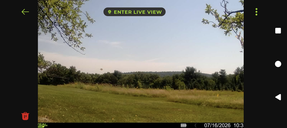
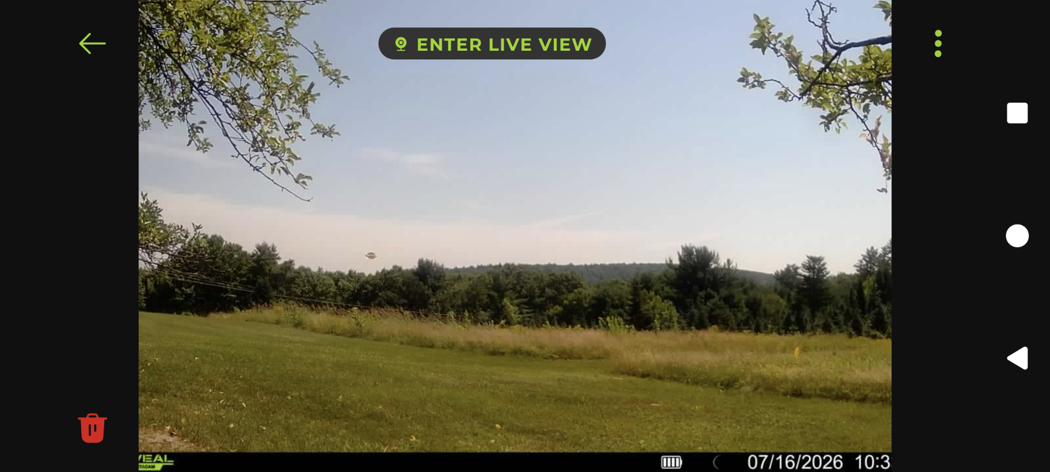
So... Put up a new trail cam yesterday, wife hoping to get some good wildlife captures, didn't see this as a possibility... It took this pic at 10:33am today. No idea what that is at center-left, I know what it looks like but never bought into the stories. Weird
-

Central PA Summer 2026 Discussion/Obs Thread
Superstorm replied to Voyager's topic in Upstate New York/Pennsylvania
Smoke on GOES…. . -
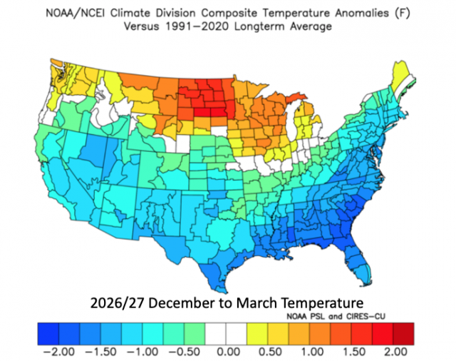
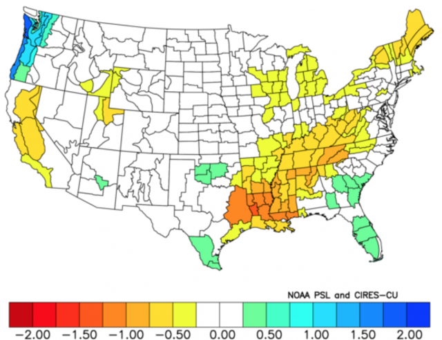
Early winter analog ideas from WB's D'Aleo: surprised by both maps actually...temps are cold and precip. is just normal.
-
1.25" hail in Warren Grove
-
Yeah. I remember last year or maybe the year before the sun set about 15 minutes early as it just disappeared into the smoke bank.
-
Smoke rain now. Will be interesting to see how my Corolla which is parked outside looks after this.
-
Scrolling around trying to find the worst ob. Philly's 95 with 6 mile viz is a candidate. Grand Rapids, MI with an 88 and 3/4 mile viz is another. HGR is entering the game with 91 and 4 miles.
-
not as much as you'd think.
-
The Northbrook air quality monitor is now reporting an AQI of 919.
-
Can start to smell the smoke up here. Vis dropping sky getting orange tint.
-
I noticed a slight blue haze today in Orange County at noon. Is the smoke here and is it going to get worse?











.thumb.jpeg.f5c6ba9d911ec96b3b124f8606aee58e.jpeg)