All Activity
- Past hour
-

2026-2027 Record-breaking El Nino
GaWx replied to Stormchaserchuck1's topic in Weather Forecasting and Discussion
Also the record summer -SOI -

2026-2027 Record-breaking El Nino
EasternLI replied to Stormchaserchuck1's topic in Weather Forecasting and Discussion
Luckily there are some other ways to view the strength of enso besides SST related metrics and those are pointing at a record event as well. Record WWB's, record shear for the Atlantic hurricane season, VP anomalies that make all the other years pale in comparison. The MEI could be another and I'll be curious to see that once it updates with Sept included plus future updates. RONI vs ONI is an interesting conversation but I think both are likely useful in their own ways. -
0.73" event, still some showers
-
That winter was awesome in Philly. It just snowed and we saw a lot of well timed cold shots.
-
Looks like a rather ugly start to snow and ice cover season.
-
I'm fine with no big cold in before Thanksgiving. Save it for winter.
-

2026-2027 Record-breaking El Nino
LakePaste25 replied to Stormchaserchuck1's topic in Weather Forecasting and Discussion
I mean yeah, we are setting temperature records more due to global warming. But when considering records, I don’t consider the anomaly at all, I only consider absolute records. For example, if it is 105 degrees, I don’t consider that it’s a “record” +15 anomaly. I only consider the absolute temperature of the daily, monthly, and all-time record and whether that is lower or higher than 105. If global warming makes it easier to reach that record, that is just reality. -
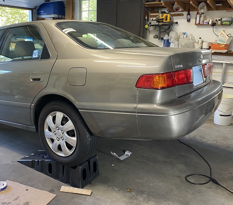
not bad for a slacker. my wife was happy, this is her car:
- Today
-
2026-2027 Record-breaking El Nino
GaWx replied to Stormchaserchuck1's topic in Weather Forecasting and Discussion
The NOAA ERSSTv6 Sep PDO was -0.74: -As expected based on WCS, this was less negative than Aug’s -1.12 -This is the least neg Sep since 2019’s +0.44. -2023 Sep was way down at -2.52! -This is the 3rd month in a row that NOAA came in less negative than avg of WCS dailies, which was ~-1.0 in Sep - The NOAA August PDO had come in at -1.12 vs the WCS avg of ~-1.55. https://www.ncei.noaa.gov/pub/data/cmb/ersst/v5/v6/index/ersst.v6.pdo.dat -
 п»їbuy accutane online: IsoClearDirect - п»їbuy accutane online
 -
Setting up for a big season of snowstorms to make up for the deficit from Droughtober
-
can i buy avodart without a prescription: DutaShieldDirect - can i purchase generic avodart without insurance
-
Looks like Hi res keeps all the rain south tomorrow night . Stein settling in for the region rest of month
-
We need an active November to get us over the top. Been pretty dead for awhile now severe wise.
-
Still raining here. Up to 0.5", 61F. Fired up the fireplace for the first time this season!
-
I was thinking the same. The rain was mostly supposed to be tonight. I am happy with the inch we got. Finally!
-
0.33” here as rain wraps up. Not hopeful about getting much more given model trends
-
1.03'' here so far. Winds turning NE/CAD setting in.
-

2026-2027 Record-breaking El Nino
OSUmetstud replied to Stormchaserchuck1's topic in Weather Forecasting and Discussion
NOAA Offical RONI ERSSTv6 released for September and JAS. 2.08C and 1.69C -
Here I got rain since 12:45PM-1:30 moving NE with some of it very heavy. This is in addition to a quick shower this morning and moderate rain (few tenths) late yest. afternoon from popups. It appears I’dreceived 1.5”+ from all of this with most of it just since 12:45PM. This compares to ~2.55” for all of Sep! Update at 5: been getting additional mod to heavy rain since 4:45. I’m now likely at 2”+ since yest.
-
It will be an interesting winter with DirtySnowchez posts
-
A+ day apple picking despite the doughnut line 59.9/39 off of a max of 63.6F
-
In the land of edibles and gummies, yes
-
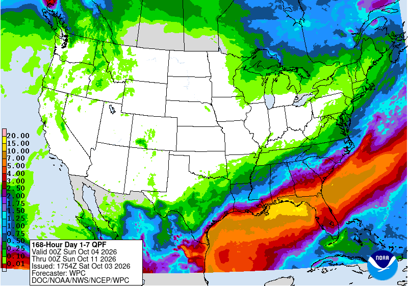
0.0" so far and less than .25" forecast for the next seven days
-
Had to go to Easton for soccer and the foliage on rt 24 is coming along nicely. Lots of maples there.