All Activity
- Past hour
-

Augdewst 2026: Summer's Last Stand
CoastalWx replied to Prismshine Productions's topic in New England
I always give my reasons though. This is behaving as expected so far. I don’t expect much here just hoping for half inch. -
.85” thru the Davis here.
-
Yikes ..A TORNADO WARNING REMAINS IN EFFECT UNTIL 645 PM EDT FOR CENTRAL KENT COUNTY... At 618 PM EDT, a confirmed large and extremely dangerous tornado was located over Dover Speedway, or over Dover, moving northeast at 30 mph. Damage from the tornado has been reported in Dover.
-
Another miss of rain today. I'm at 1.66" for July and .87" for August. That is from the Davis Vantage Pro 2. During one brief heavy downpour it did rain extremely hard so it might have missed a slight bit. Still it is extremely dry! Watch what happens this weekend. I just looked at the 18Z GFS. Things fall apart yet again for me? Arrgghhh...
-
Yeah agree.
-

Augdewst 2026: Summer's Last Stand
vortex95 replied to Prismshine Productions's topic in New England
The pot calling... "It won't happen" goes far beyond just convection. -
Augdewst 2026: Summer's Last Stand
CoastalWx replied to Prismshine Productions's topic in New England
Congrats Dover DE -
That's probably gonna be an EF2, hopefully not a 3
-
they must have the rain gauge under trees - also this araa of precip is moving fast and should be east of NJ by 9 PM
-
.thumb.jpg.6a4895b2a43f87359e4e7d04a6fa0d14.jpg)
Central PA Summer 2026 Discussion/Obs Thread
Yardstickgozinya replied to Voyager's topic in Upstate New York/Pennsylvania
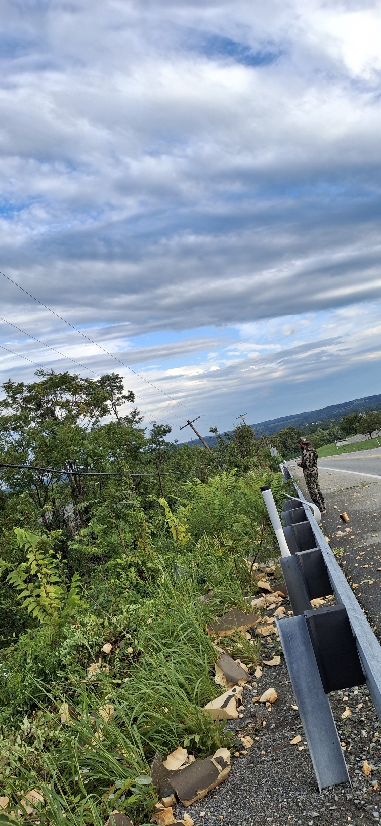
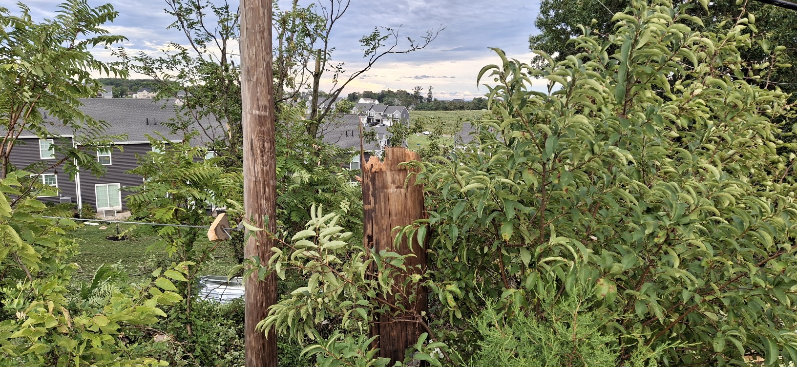
More pictures and videos coming later
-

2026 Mid-Atlantic Severe Storm General Discussion
AlexD1990 replied to Kmlwx's topic in Mid Atlantic
I have never seen a signature like that in this area. My god- 2,137 replies
-
- 1
-

-
- severe
- thunderstorms
- (and 7 more)
-
.90" so far
-
Prediction: Central Park - .10"
-
0.99” in the Davis so far.
-
Augdewst 2026: Summer's Last Stand
CoastalWx replied to Prismshine Productions's topic in New England
Plus you can’t be negative when you’re right. -
Pouring here now. Just give me the rain. Don't need the rest.
- 2,137 replies
-
- 2
-

-
- severe
- thunderstorms
- (and 7 more)
-
Augdewst 2026: Summer's Last Stand
vortex95 replied to Prismshine Productions's topic in New England
Well, you could have fooled me prior to Jan 2026! "It never snows anymore!" said how many times? Even after two 20"+ storms in Weymouth, I still heard complaints! -

E PA/NJ/DE Summer 2026 Obs/Discussion
Chadzachadam replied to PhiEaglesfan712's topic in Philadelphia Region
Should be right in the thick of a severe cell now but the sky lightened up, the wind totally died, and it’s just drizzling. Kind of eerie. Very tropical looking rain so far, tiny drops coming down in waves -
Damn that doesnt sound good.
-
Sounds like a monsoon outside
-
I am probably the wettest I’ve ever been. What a wild commute.
-
7 inches ? wow
-
Severe Weather Statement National Weather Service Mount Holly NJ Issued by National Weather Service New York NY 618 PM EDT Thu Aug 20 2026 DEC001-202245- /O.CON.KPHI.TO.W.0030.000000T0000Z-260820T2245Z/ Kent DE- 618 PM EDT Thu Aug 20 2026 ...A TORNADO WARNING REMAINS IN EFFECT UNTIL 645 PM EDT FOR CENTRAL KENT COUNTY... At 618 PM EDT, a confirmed large and extremely dangerous tornado was located over Dover Speedway, or over Dover, moving northeast at 30 mph. Damage from the tornado has been reported in Dover. This is a PARTICULARLY DANGEROUS SITUATION. TAKE COVER NOW! HAZARD...Damaging tornado. SOURCE...Radar confirmed tornado. IMPACT...You are in a life-threatening situation. Flying debris may be deadly to those caught without shelter. Mobile homes will be destroyed. Considerable damage to homes, businesses, and vehicles is likely and complete destruction is possible. Locations impacted include... Dover, Camden, Cheswold, Rising Sun-Lebanon, Rising Sun, Dover Base Housing, Dover Speedway, Wyoming, Little Creek, Leipsic, Rodney Village, Kent Acres, and Highland Acres. PRECAUTIONARY/PREPAREDNESS ACTIONS... To repeat, a large, extremely dangerous and potentially deadly tornado is occurring. To protect your life, TAKE COVER NOW! Move to a basement or an interior room on the lowest floor of a sturdy building. Avoid windows. If you are outdoors, in a mobile home, or in a vehicle, move to the closest substantial shelter and protect yourself from flying debris. Heavy rainfall may hide this tornado. Do not wait to see or hear the tornado. TAKE COVER NOW! && LAT...LON 3921 7561 3930 7542 3929 7542 3928 7540 3920 7538 3909 7539 3908 7558 3912 7562 TIME...MOT...LOC 2218Z 247DEG 28KT 3919 7550 TORNADO...OBSERVED TORNADO DAMAGE THREAT...CONSIDERABLE MAX HAIL SIZE...<.75 IN
-
Central PA Summer 2026 Discussion/Obs Thread
Yardstickgozinya replied to Voyager's topic in Upstate New York/Pennsylvania
Every room in the school has damage ceiling is completely gone. According the emergency management. -
Central PA Summer 2026 Discussion/Obs Thread
Yardstickgozinya replied to Voyager's topic in Upstate New York/Pennsylvania
Emergency officials believe it was a tornado.