All Activity
- Past hour
-

E PA/NJ/DE Summer 2026 Obs/Discussion
pl0k00n111 replied to PhiEaglesfan712's topic in Philadelphia Region
Storms in pennsauken. -

2026-2027 Record-breaking El Nino
forkyfork replied to Stormchaserchuck1's topic in Weather Forecasting and Discussion
-
Hello Dolly but not likely to survive the shear and get into the more favorable Caribbean
-
Had that here too but also heard some rumbles of thunder as a few of the showers passed.
-
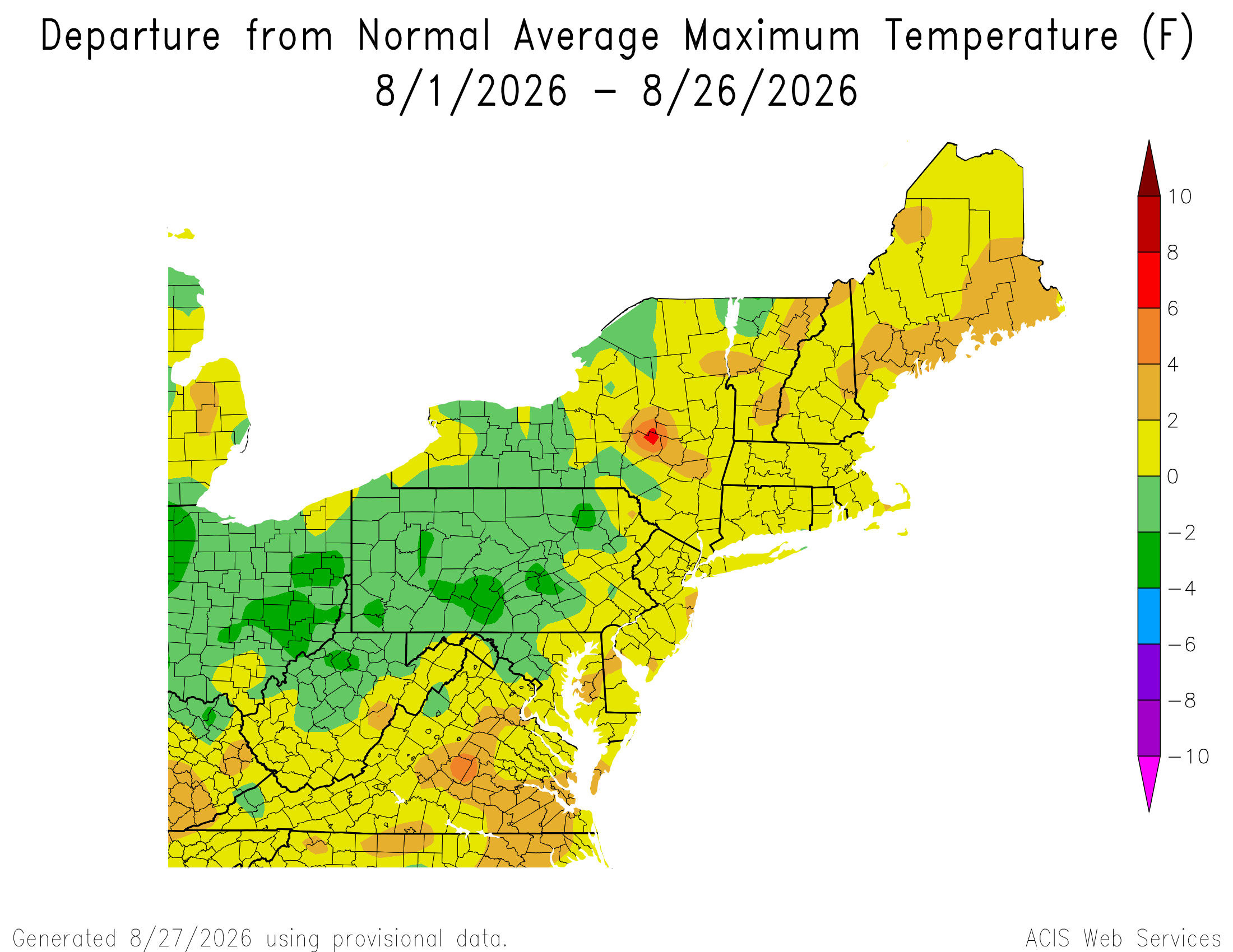
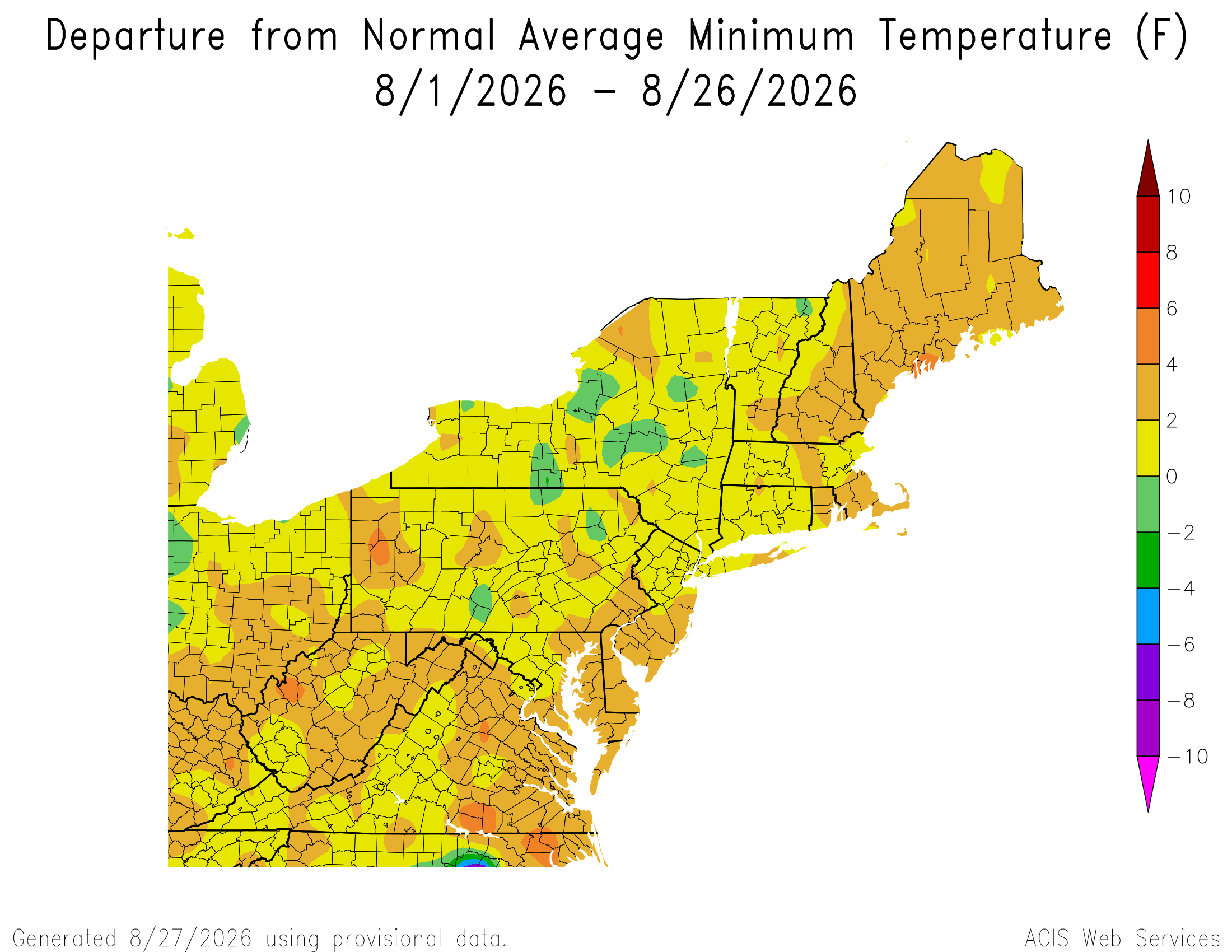
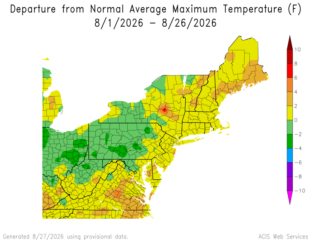
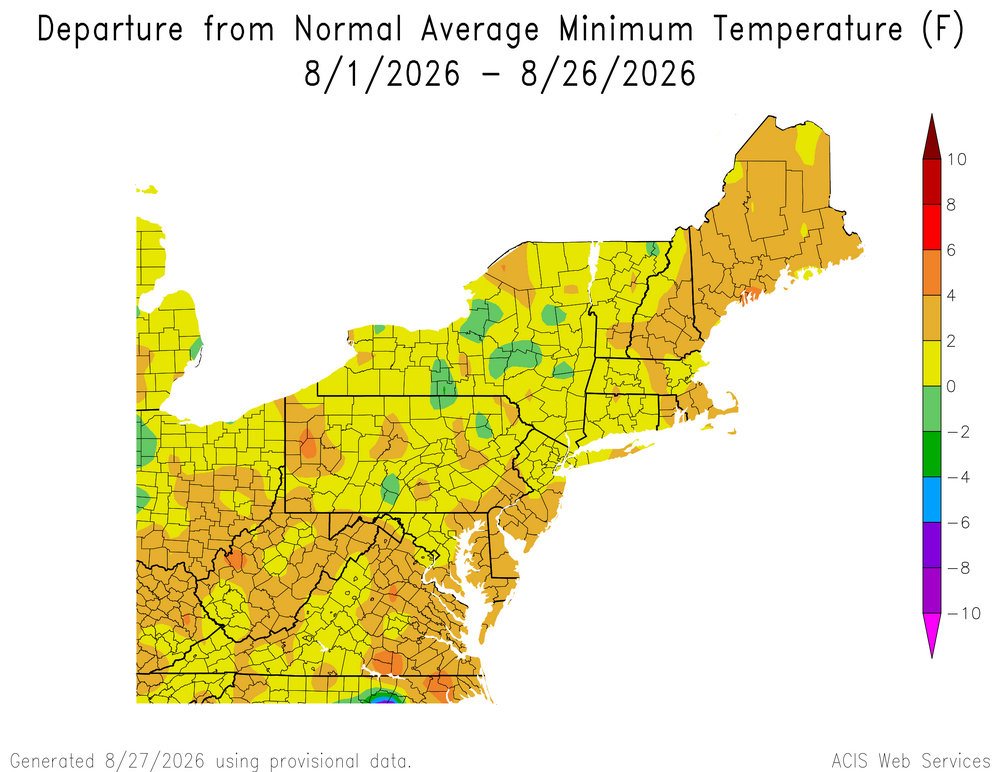
While the minimum departures were a little warmer relative to the maxes, the average highs were still warmer than what is normal even using the warmest 1991-2020 climate normals period. I agree that it felt cooler relative to the heat that we had earlier in the summer. This has largely followed the 2020s summer pattern of major heat early on followed by heavy rains.
-
I know my Dad is up there pulling for this one to hit Maralago.
-

2026-2027 Record-breaking El Nino
40/70 Benchmark replied to Stormchaserchuck1's topic in Weather Forecasting and Discussion
2015 not far off, either.....likely also at least somewhat related to the residual MC influence we have discussed. -

Augdewst 2026: Summer's Last Stand
weatherwiz replied to Prismshine Productions's topic in New England
That's an interesting take. And by no means am I speaking negatively about the NHC or questioning this in a negative manner, its just an observation. At least with Dolly, I'm a bit surprised at the "comeback" made over the last 24-hours. It was clearly being impacted by a hostile environment but it survived and, at least for a brief period, is in a less hostile environment. -

2026-2027 Record-breaking El Nino
qg_omega replied to Stormchaserchuck1's topic in Weather Forecasting and Discussion
Acceleration of AGW is the answer -

Augdewst 2026: Summer's Last Stand
Typhoon Tip replied to Prismshine Productions's topic in New England
Dolly is highly likely being dry air inhibited when looking at the SAL products at Wisc EDU. -
On the board Peak Season Forecast (Aug 20-Oct 20) Named Storms: 5 (1) Hurricanes: 3 (0) Major Hurricanes: 1 (0)
-
Radar is showing storms beginning to pop up fast southwest of us - expecting a Watch soon IMO
-

2026-2027 Record-breaking El Nino
Winter Wizard replied to Stormchaserchuck1's topic in Weather Forecasting and Discussion
Makes sense. Here was today's date in 2015 for reference...much worse on the West Coast but majority of the CONUS was drought free.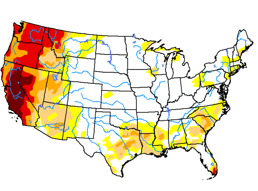
-
You’ve got some 70s in your point forecast all of next week. Could be a decent streak of 70s to close out the summer season for you guys in the UP. Maybe even one last 80. The Annual SEP Torch spares no one! even monster Nino falls stand no chance against the greater overall pattern shift towards warm and mild falls.
-
Augdewst 2026: Summer's Last Stand
Typhoon Tip replied to Prismshine Productions's topic in New England
I've noticed that too over recent seasons... I suspect ( not intending to impugn any organization ) that it's largely cultural/institutional reliance on modelling. When and if a TC is born out of an invest, if/when it occurs ahead of the modeling, that's when we get the jump - because they can't wait for the models, if the TC is there, it's there. Along these lines, the model reliance is also why sometimes you look out there and see an impressive wave that even appears to be closing off a circulation, yet NHC has the basin in a nada status. It's because no model has it developing. The models went through an evolutionary upgrade over the last 10 to 15 years. The Katrina's and Maria's of the last 20 years sort of lit a candle under the ass of R&D. Proven in their forecast statistics. They became objectively better at initialization, improving over human intuition and monitoring of prior generations. I don't personally have any issue with the model reliance - their performance is what it is. They may not be ideal with aspects like RI this or shear that after the fact, but in so far as putting the TC on the map - -
facts don't care about your feelings
-
Interesting rain shower this morning in Adelphi driving the kids to school. It came out of nowhere. Looking at the sky you just saw cirrus clouds and blue. We weren't under any nimbus or low deck clouds. Just blue sky with wispy clouds and it was a moderate rain shower for like a few minutes. You could see the rain in the sky but above and around it was blue and cirrus. First time I experienced that.
-
2026-2027 Record-breaking El Nino
forkyfork replied to Stormchaserchuck1's topic in Weather Forecasting and Discussion
check out the climate disaster that just happened in nepal. how many more is this nino going to unleash? -
YEP that was some serious noise and water that took place
-
-
Stormy morning
-

E PA/NJ/DE Summer 2026 Obs/Discussion
Birds~69 replied to PhiEaglesfan712's topic in Philadelphia Region
It just looks and feels like downpours will happen at some point. Thinking 2"+... 72F/DP 71F -

2026-2027 Record-breaking El Nino
LakePaste25 replied to Stormchaserchuck1's topic in Weather Forecasting and Discussion
The plains drought forcing the pattern is Eric’s theory as well. -
Augdewst 2026: Summer's Last Stand
weatherwiz replied to Prismshine Productions's topic in New England
What's with this recent uptick of tropical systems going straight from Invest to Tropical Storm -
As always with CC it was warmer than normal cause of high dews causing overnight lows a degree or two warmer than normal. It did not "feel" like a warmer august in the slightest.