All Activity
- Past hour
-
Dew point has fallen to the upper 40s here. Oh what a feeling
-
We have Andrea in the subtropics! BULLETIN Tropical Storm Andrea Advisory Number 1 NWS National Hurricane Center Miami FL AL012025 1100 AM AST Tue Jun 24 2025 ...ANDREA BECOMES THE FIRST TROPICAL STORM OF THE SEASON IN THE ATLANTIC... SUMMARY OF 1100 AM AST...1500 UTC...INFORMATION ----------------------------------------------- LOCATION...36.6N 48.9W ABOUT 1205 MI...1940 KM W OF THE AZORES MAXIMUM SUSTAINED WINDS...40 MPH...65 KM/H PRESENT MOVEMENT...ENE OR 60 DEGREES AT 17 MPH...28 KM/H MINIMUM CENTRAL PRESSURE...1014 MB...29.95 INCHES WATCHES AND WARNINGS -------------------- There are no coastal watches or warnings in effect. DISCUSSION AND OUTLOOK ---------------------- At 1100 AM AST (1500 UTC), the center of Tropical Storm Andrea was located near latitude 36.6 North, longitude 48.9 West. Andrea is moving toward the east-northeast near 17 mph (28 km/h), and this motion is expected to continue for the next day or so. Maximum sustained winds are near 40 mph (65 km/h) with higher gusts. Little change in strength is expected today. Weakening is expected to begin tonight, with Andrea dissipating by Wednesday night. Tropical-storm-force winds extend outward up to 45 miles (75 km) from the center. The estimated minimum central pressure is 1014 mb (29.95 inches). HAZARDS AFFECTING LAND ---------------------- None. NEXT ADVISORY ------------- Next complete advisory at 500 PM AST. $$ Forecaster Jelsema/Blake/Hagen
-
WTF is wrong with you?
-

2025 Atlantic Hurricane Season
BarryStantonGBP replied to BarryStantonGBP's topic in Tropical Headquarters
NHC will initiate advisories on Tropical Storm Andrea, located over the central subtropical Atlantic, at 1100 AM AST (1500 UTC). -
yes it's drier today with very blue skies so temperatures will rise quicker
-
KLEB already at 90 at 10 am. 8F ahead of yesterday when they topped out at 99. https://forecast.weather.gov/data/obhistory/KLEB.html
-

2025 Spring/Summer Mountain Thread
GoAPPS replied to Maggie Valley Steve's topic in Southeastern States
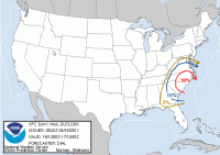
SPC Convective Outlook for our region Wednesday, June 25: ...Southeast... Strong instability will develop during the afternoon over much of the region, with 2000-3000 J/kg MLCAPE common. Of note will be midlevel lapse rates greater than 7.0 C/km, suggesting robust convection is likely. Storms are expected to form around 21Z over the high terrain, and within a surface trough during peak heating over the central Carolinas. Slow moving at first, storms will form into clusters, with erratic motions possible. However, a general southerly trends is expected. The high PWAT content, steep lapse rates, and favorable time of day all suggest areas of damaging microbursts will develop. As such, the area has been upgraded to a Slight Risk. Scattered storms are expected farther south into GA, AL, and the FL Panhandle as well, within a southwest extension of the surface trough, and, possibly with the sea breeze. Forecast soundings in this region similarly show very strong instability, with west/southwest moving storm clusters likely producing damaging wind gusts. -
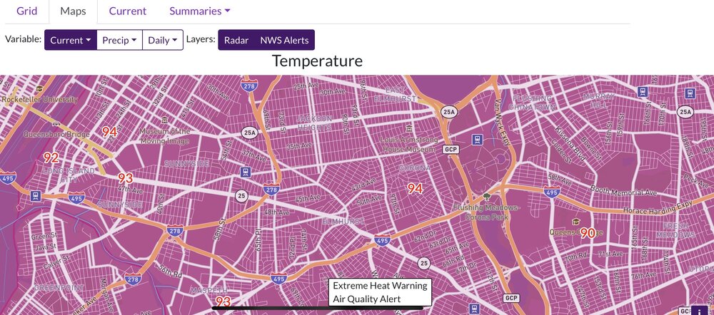
Up to 98 now, ahead of yesterday at this time, today’s low of 72 was cooler than yesterday’s, so it’s interesting that today is already hotter. Don’t think I’ve ever seen 100 degree conditions after a low in the low 70’s. But in my experience, anytime it’s been this hot around 10 AM the ceiling has been higher than 100.
-
E PA/NJ/DE Summer 2025 Obs/Discussion
PhiEaglesfan712 replied to Hurricane Agnes's topic in Philadelphia Region
PHL temp at 10 is 93, one degree warmer than at this time yesterday. -
88/75. hope TT and DIT are out basking in it
-
PGV has 90/82 with a HI of 113 at 945 am.....
-
87.7 at 10am here. Still 3.5 ahead of yesterday. HFD is 89/71 HI 95 at 10 so I'm making up ground with them.
-
86F as of 9:51 am. It might slow down, but you have to think there's at least a chance of a 95F high today. The last official 95F reading was on September 4, 2018, although I do seem to recall some discussion about whether the sensor wasn't running a little hot at the time.
-
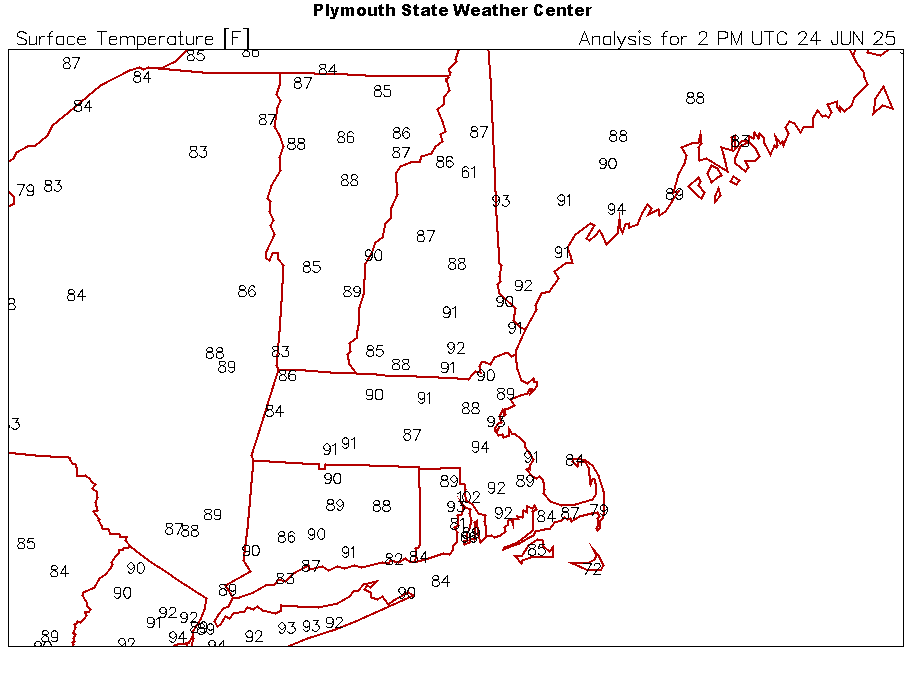
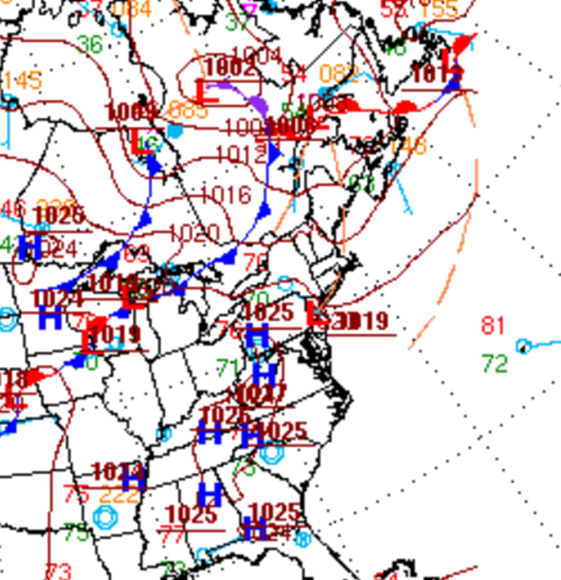
The gradient is so flaccid it's just local variability, sensitive to discrete warming variance in the micro meteorological analysis - most likely .. Btw, there is a prefrontal "trough" .. sort of I've been a little suspect of WPC's surface synopsis in the past, particularly with respect to these non-descript boundaries that occur here. But this was their last product dissemination


