All Activity
- Past hour
-
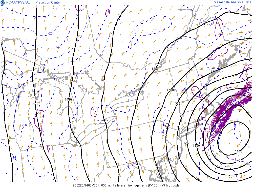
2/23 13z HRRR 1PM
-

"Don’t do it" 2026 Blizzard obs, updates and pictures.
codfishsnowman replied to Ginx snewx's topic in New England
Looks pretty far SE to me. -

"Don’t do it" 2026 Blizzard obs, updates and pictures.
butterfish55 replied to Ginx snewx's topic in New England
Radar looks to rot this band over us here. Just nonstop with the wind gusts and heavy heavy snow -
Im in the bronx,trust me its ripping here. That band is literally riding the city rn.
-

"Don’t do it" 2026 Blizzard obs, updates and pictures.
Sey-Mour Snow replied to Ginx snewx's topic in New England
13-15” -
Northeast
-
Anyone stuck under the death band is getting 30+
-

"Don’t do it" 2026 Blizzard obs, updates and pictures.
WinterSnow replied to Ginx snewx's topic in New England
Looks like a foot of snow here again. Wow. -
No kidding,its training right over us. Not going anywhere soon it seems .
-
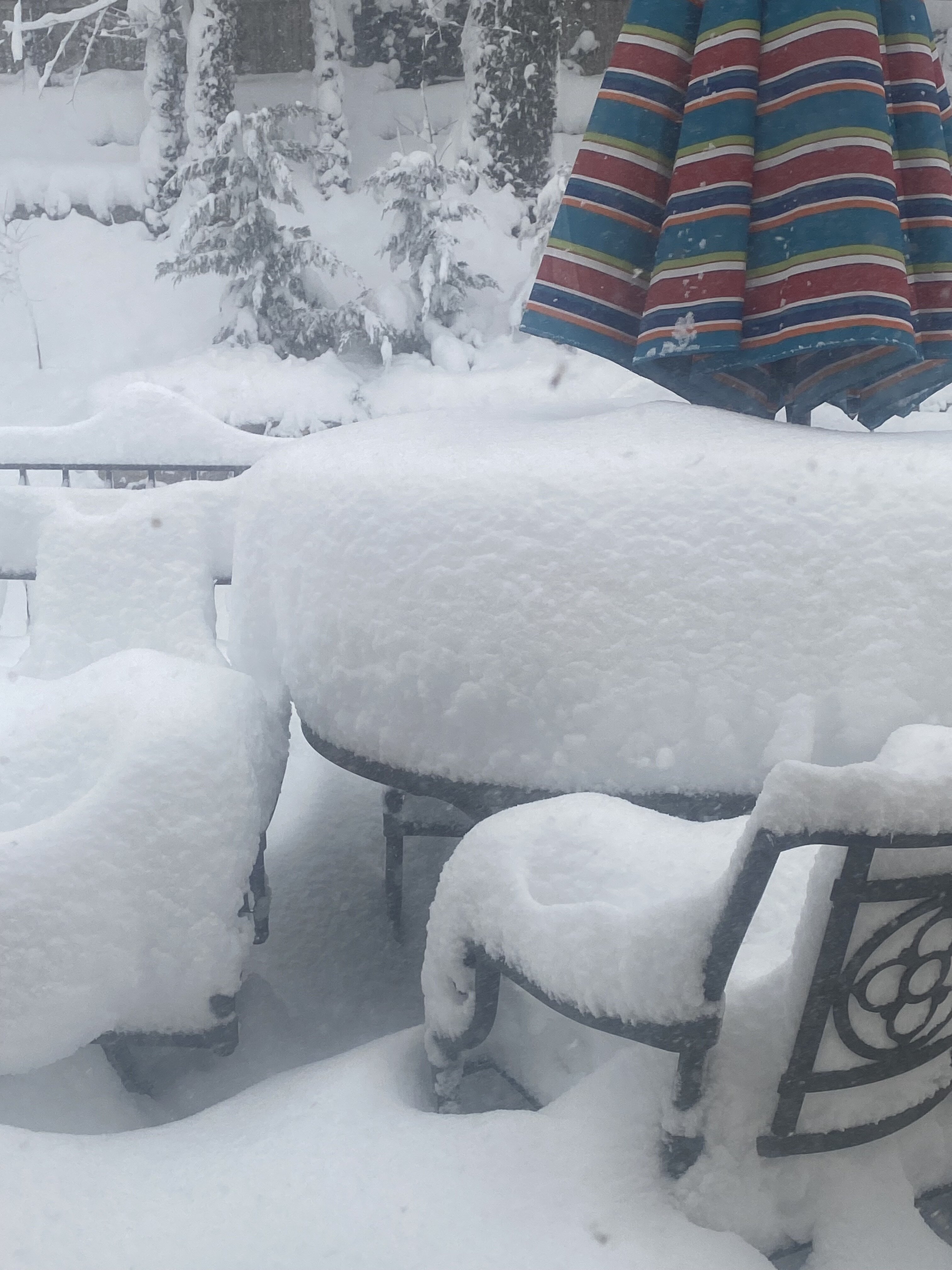
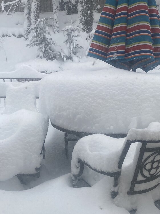
.thumb.jpg.6a4895b2a43f87359e4e7d04a6fa0d14.jpg)
Central PA Winter 25/26 Discussion and Obs
Yardstickgozinya replied to MAG5035's topic in Upstate New York/Pennsylvania
It's also going to reslick a lot of surfaces when it comes down. -

Central PA Winter 25/26 Discussion and Obs
anotherman replied to MAG5035's topic in Upstate New York/Pennsylvania
I had about 5 at my house before I left. -
Band in northeastern westchester hopefully holds and swings down through rockland and the bronx in a few, would be a nice finale.
-
"Don’t do it" 2026 Blizzard obs, updates and pictures.
codfishsnowman replied to Ginx snewx's topic in New England
I've been through this so many times my friend. I too thought it wouldn't be this bad but also didn't think the storm was going to go that far SE. I'm wondering if this is even a shadowing issue as opposed to the goods just not getting up here. I also thought Hartford area would have done better. You know what Ryan has in Weho? -
Same here. Almost nothing from 7-8:45. Since then at least inch an hour rates.
-
“Cory’s in NYC! Let’s HECS!” Feb. 22-24 Disco
butterfish55 replied to TheSnowman's topic in New England
What a clown -
Getting slaughtered!
-
Hawthorne NY, haven’t measured but looks around 20” … @cleetussnow what you got neighbor?
-

"Don’t do it" 2026 Blizzard obs, updates and pictures.
CCHurricane replied to Ginx snewx's topic in New England
Best way to monitor wind gusts across a handful of stations? The once an hour found on NWS just not cutting it! -
I'm shocked at how long this band has lasted. Literally zero forcing at h850 and h700
-

Central PA Winter 25/26 Discussion and Obs
canderson replied to MAG5035's topic in Upstate New York/Pennsylvania
So I measured 3.6”. My eyeballs deceived me greatly. -
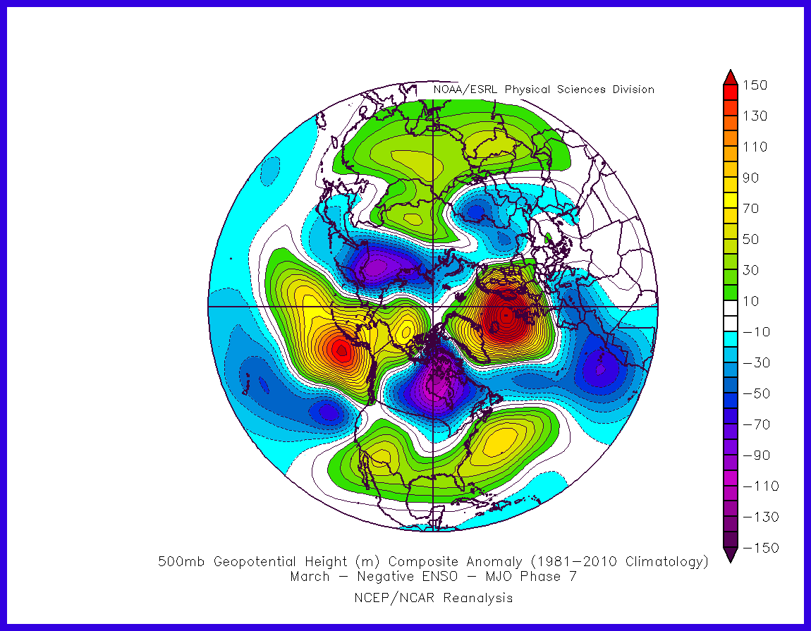
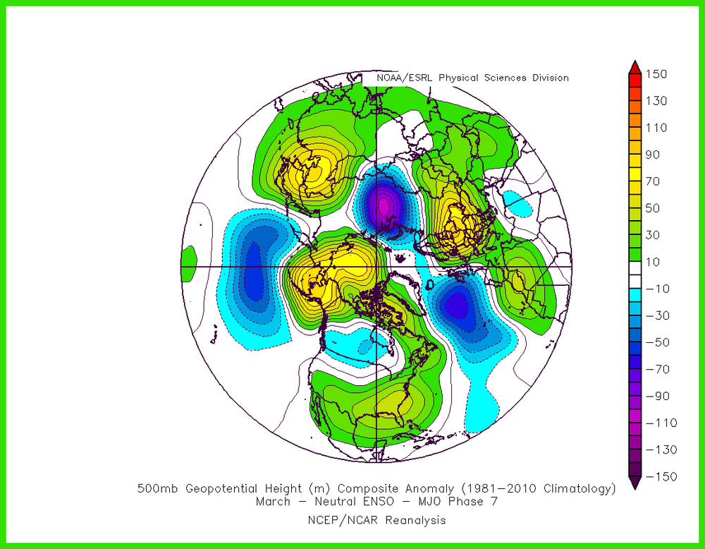
Larry's post was specifically about La Ninas and limited to one station - Baltimore. I think his analysis has merit and definitely is worth keeping in mind, though there is still lots of variability despite the cold lean. The composites I posted before are averages of all Mar phase 7 days, no matter what ENSO state The phase 7 neutral ENSO composites for March is pretty similar to what I showed in my previous post, with eastern US ridging and AK ridging. On the other hand, the La Nina composite is closer to what you would want for colder. Two reasons I wouldn't bank on phase 7 being cold for us this Mar- 1) The La Nina is weak and we are starting to see slow signs of atmospheric coupling with the much warmer SST in the Eastern ENSO regions. So atmosphere would probably behave closer to neutral than La Nina for Mar. 2) The phase 7 La Nina composite has a -NAO with above normal heights/hints of blocking near Greenland. No sign of that on guidance heading into early Mar. So we will have to rely on the AK ridging to deliver cold enough air for snow I think.

-

"Don’t do it" 2026 Blizzard obs, updates and pictures.
jculligan replied to Ginx snewx's topic in New England
Nice to have someone just on the other side of 93 to cross reference totals in these situations! It does appear to have picked up here in the last 15 minutes or so. As the forcing associated with the main CCB to our east starts to weaken, I'm hoping these subsidence holes will fill in a bit too. -
So both significant snowstorms over performed this winter in NYC metro, can’t do better than that!
-
Have seriously considered that
-

"Don’t do it" 2026 Blizzard obs, updates and pictures.
Bryan63 replied to Ginx snewx's topic in New England
Can only use so many metaphors, this is unreal. The band just refuses to move, relentless rates and wind. Kudos to Middleborough Gas & Electric, have done a great job investing into the infrastructure and so far it's showing.