All Activity
- Past hour
-
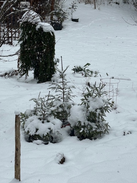
 Just light non-accumulating snow here. Deep winter feel though with ice dams everywhere lol.
 -
The avg SPV strength of a winter is by no means anywhere close to an end all be all factor as many of us know. For example, these winters had an SPV on the strong side but still had cool to cold in much of the E US (a bit counter-intuitive) -1980-1 DJ -1983-4 -1995-6 -2013-4 -2024-5 DJ
-

2025-2026 ENSO
40/70 Benchmark replied to 40/70 Benchmark's topic in Weather Forecasting and Discussion
I expect something akin to Dec 2000 (ie no reversal, but significant SSW, nonetheless), which is the best general analog IMO. -

Fall/Winter Banter - Football, Basketball, Snowball?
nrgjeff replied to John1122's topic in Tennessee Valley
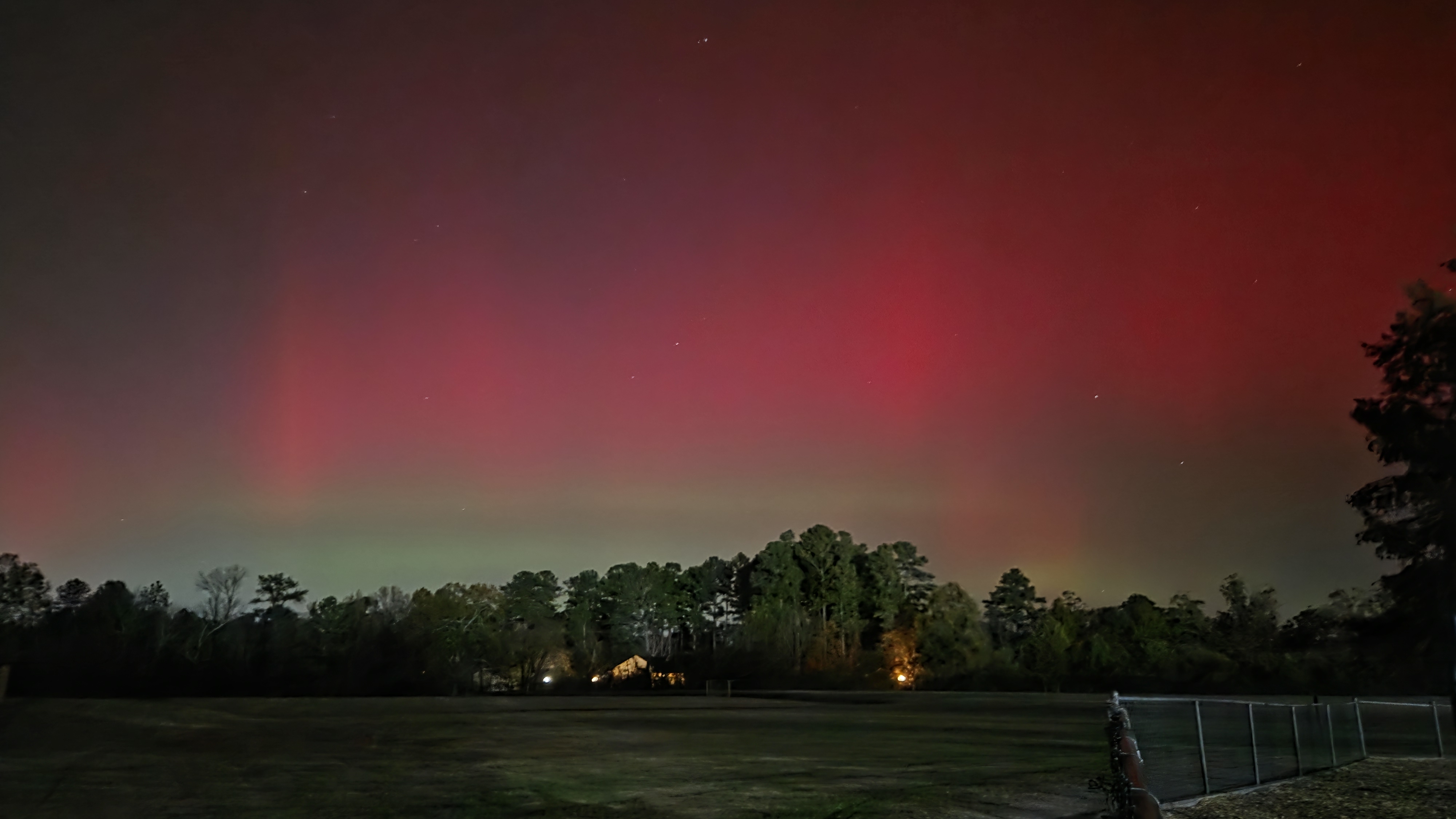
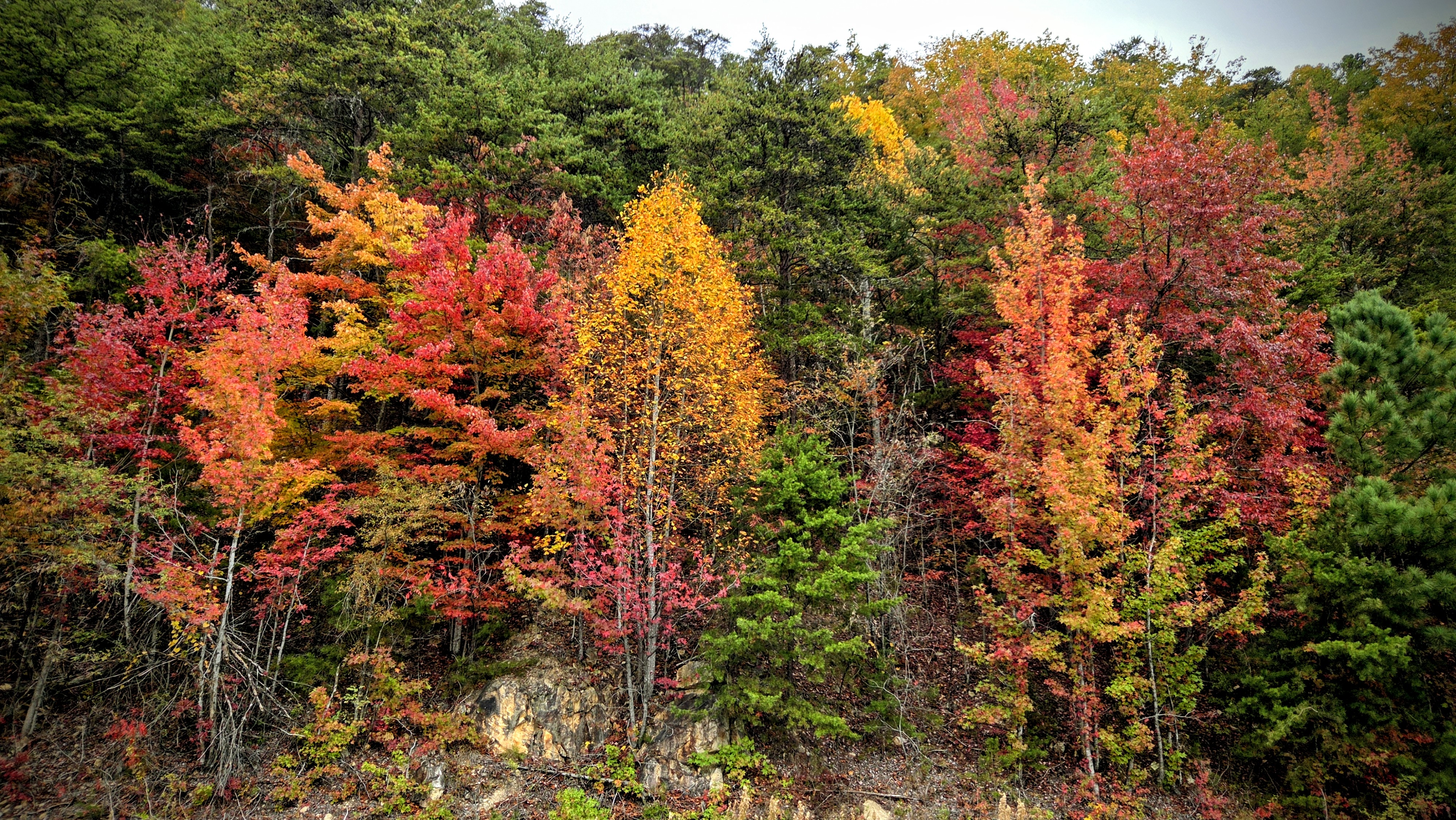
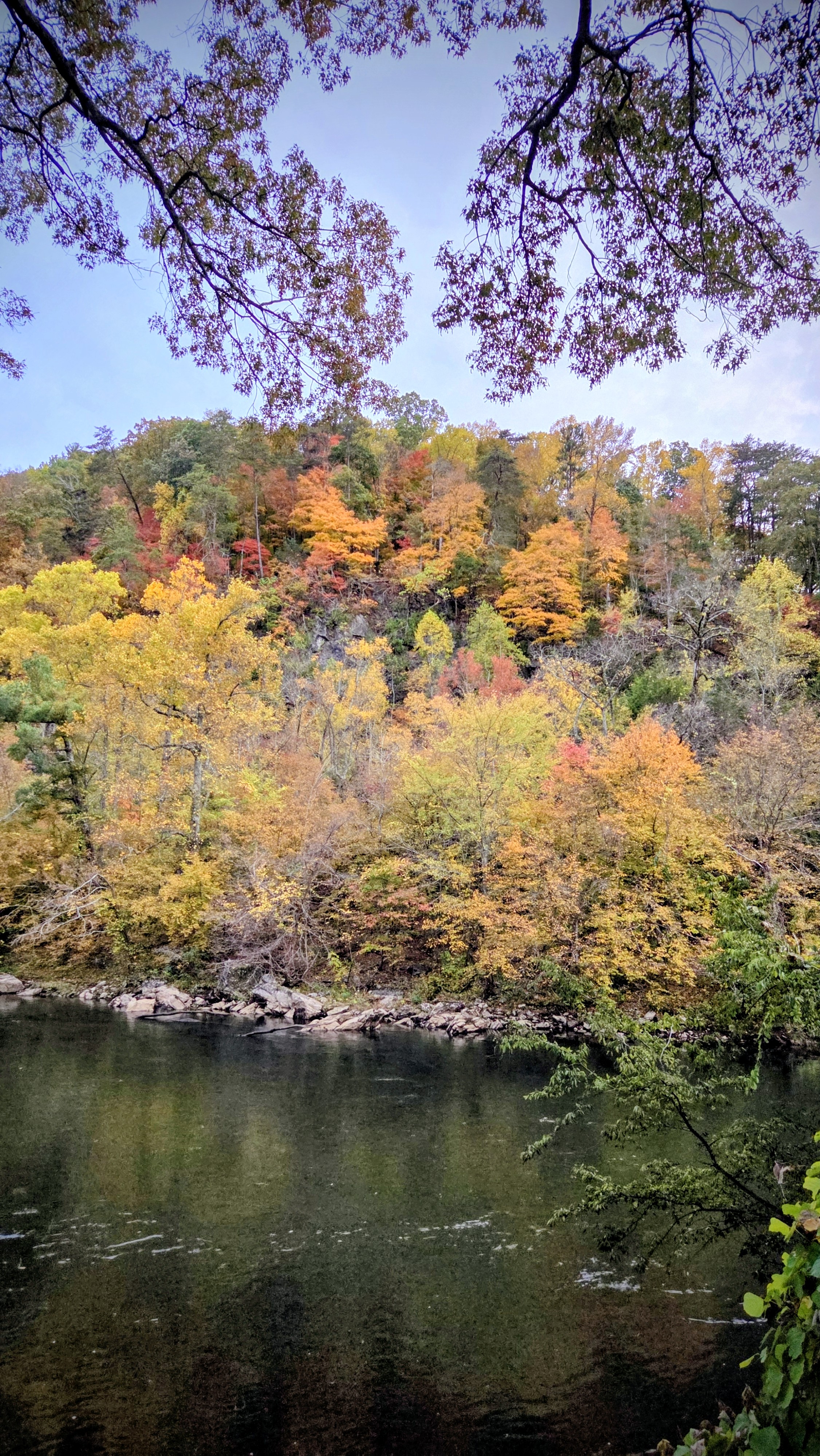
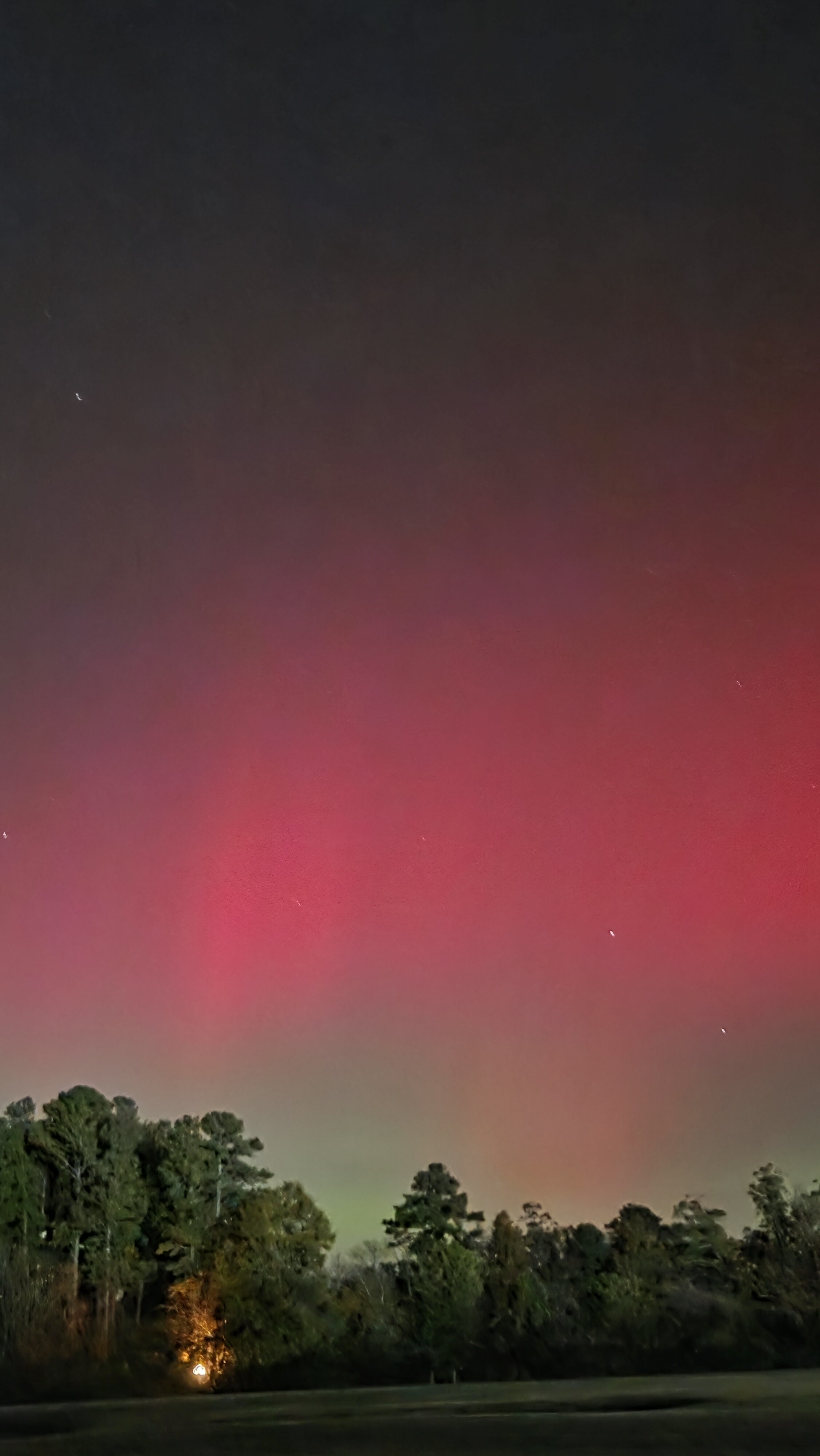
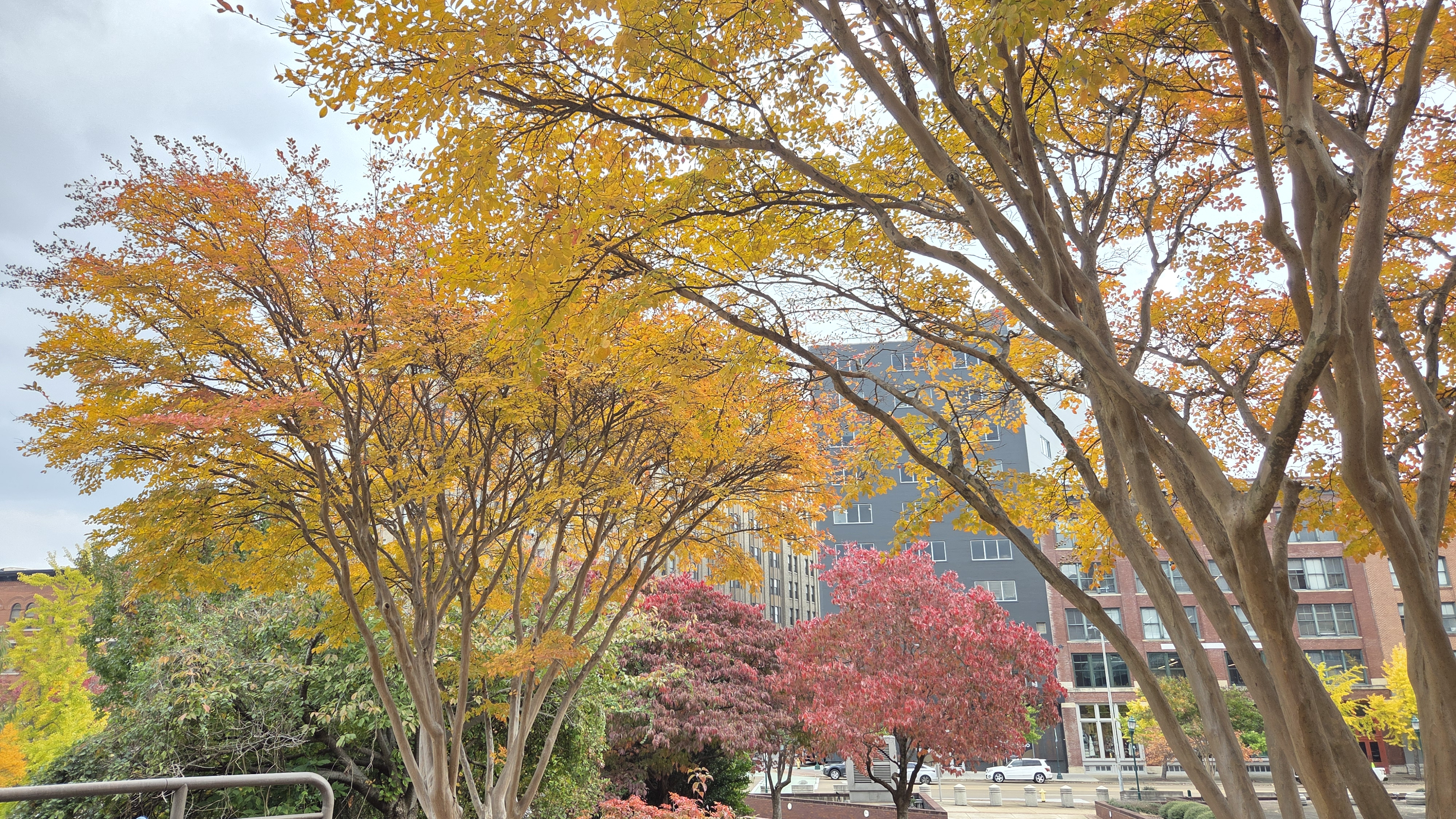
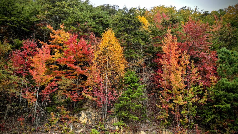
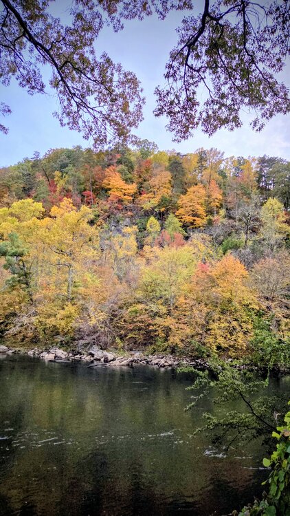
Here is my take from Tuesday night. Northern Lights display for Southern Veterans! Then some fall foliage highlights from Ocoee a couple weeks ago.. And downtown Chattanooga showing off last week. Finally vertical bonus photos. Quite a colorful fall!


-

November 2025 general discussions and probable topic derailings ...
weatherwiz replied to Typhoon Tip's topic in New England
Pretty wild the differences that evolve between the GFS/Euro moving past like D4-5...first with strength/orientation of several features and then flat out how the pattern evolves. Here is to another winter of this crap I guess -

November 2025 general discussions and probable topic derailings ...
powderfreak replied to Typhoon Tip's topic in New England
Already another 4” today at the upper mountain spot. Hammering around 1”/hr. -
Yeah, right when I say the GFS has no company, the EURO pretty much spits out the same outcome. Temps are still bad... wouldn't exactly expect any of this to stick, but it's interesting. If the moisture didn't get totally shredded from 126 - > 132 it might've had more blues.
-

November 2025 general discussions and probable topic derailings ...
rimetree replied to Typhoon Tip's topic in New England
Looks like a nice time up at the cog... -
Steady RAIN even at 9630 feet. Summit is 11,000 feet with snow, but everything below it looks so much like DCA In January. McCoy Station at 9,630 feet may have some snow, but everything below that is liquid.
-

November 2025 general discussions and probable topic derailings ...
rclab replied to Typhoon Tip's topic in New England
My inner city coastal plain location hasn’t seen that in several winters. I enjoyed the photos, thank you. As always …. -
Euro tries as well but it's too north for most people
-
By the time we were in Rockville Centre it had stopped and it’s not sunny but blue sky and puffy clouds. It had been drizzling/lightly raining in Lindenhurst about noon, but not like it was coming down in Freeport.
-
we have a chance...
-
Lots of instability showers around today-still quite cold aloft. Look at the upstate NY radar-lots of snow showers.
-
November 2025 general discussions and probable topic derailings ...
weatherwiz replied to Typhoon Tip's topic in New England
Fair - Today
-
sun breaking out here now
-
Canadian and Icon both have the system but it scoots south of us. As depicted the northern tier could get on the board with the GFS scenario. Below freezing along the M/D line overnight and only mid 30s by Tuesday afternoon.
-
Pouring and gusty in Freeport right now. lol, wtf?
-

November 2025 general discussions and probable topic derailings ...
Layman replied to Typhoon Tip's topic in New England
That's January weather down this way! Heading back up to the hotel again this weekend as we do some more house hunting in the area. We'll be sure to pack boots! -
I've noted that trend too. Especially with the euro.
-

November 2025 general discussions and probable topic derailings ...
alex replied to Typhoon Tip's topic in New England
Really can’t complain about this in November. Stake up to just over 6”.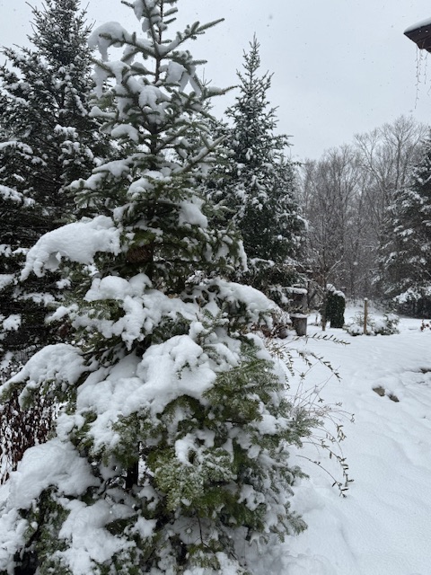
-
It is starting to finally pop out here, so hopefully in an hour you get it. Of course the wind is whipping again though.
-

November 2025 general discussions and probable topic derailings ...
Typhoon Tip replied to Typhoon Tip's topic in New England
Longer range teleconnectors like Dec 1-5th for winter implications -
Nasty day. Waiting for that sunny forecast to verify…
-

November 2025 general discussions and probable topic derailings ...
WinterWolf replied to Typhoon Tip's topic in New England
That’s like 7/8 of winter Paul lol..not a half .