All Activity
- Past hour
-
Initial wind was serious but now just dumping rain
-
Yeah. This is something.
-
Chris would you have said this before 2013-14 and 2014-15 too? One thing about climate change, it means more extremes, more droughts more rain and snow, and more extreme temperatures (maybe more likely in winter than summer.)
-
Little kink in the line near Brambleton, maybe
- 1,115 replies
-
- 1
-

-
- severe
- thunderstorms
- (and 2 more)
-
Probably going to go hang in North Branford for a bit in the field next to police station. It's a nice open spot. But that still may be just a bit too much into marine influence. Maybe I'll do Wallingford.
-
Yep, today is ideal, the sun isn't being blocked by clouds, but the white billowing cumulus clouds to the north do look pretty.
-
Lots of lightening with this line.
-
Feels like that line may spend itself before 83 and points east / if so, watch the second chance slip south and we end up effectively split again
-
I despise cloudy beach days..not my bag
-
Ahead of the cf not on.
-
66mph gust at Hume 64mph at Culpeper airport
- 1,115 replies
-
- 2
-
-
- severe
- thunderstorms
- (and 2 more)
-
Um..that's what I and most people do at the beach
-
Can we call this an official bow echo now? I am in Fairfax and ready to take it on the chin
-
That outflow boundary racing across Montgomery County is going to lay the tracks for something wicked further east.
-
-
Looks - not good here in Aldie
-
maybe you should've went to the beach.
-
I sit under an umbrella so as long as it’s warm I’m good
-
-
Got my first pds alert ever
- 1,115 replies
-
- 2
-
-
- severe
- thunderstorms
- (and 2 more)
-
Can’t recall the last PDS STW here? Maybe not even the downbursts 2 years ago?
-
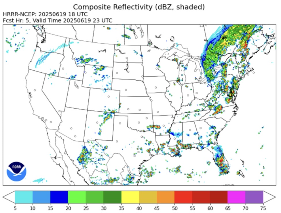
Ouch time BULLETIN - EAS ACTIVATION REQUESTED Severe Thunderstorm Warning National Weather Service Baltimore MD/Washington DC 337 PM EDT Thu Jun 19 2025 The National Weather Service in Sterling Virginia has issued a * Severe Thunderstorm Warning for... Southeastern Loudoun County in northern Virginia... Northwestern Fairfax County in northern Virginia... North central Fauquier County in northern Virginia... Northwestern Prince William County in northern Virginia... * Until 400 PM EDT. * At 336 PM EDT, a severe thunderstorm was located near Middleburg, or 9 miles southwest of Brambleton, moving east at 50 mph. THIS IS A DESTRUCTIVE STORM FOR ALDIE, ARCOLA, DULLES INTERNATONAL AIRPORT, STERLING.... HAZARD...80 mph wind gusts. SOURCE...Radar indicated. IMPACT...Expect considerable damage to trees and power lines. Your life is at significant risk if outdoors. In addition to some trees falling into homes, wind damage is possible to roofs, sheds, open garages, and mobile homes. * Locations impacted include... Reston, South Riding, Herndon, Broadlands, Brambleton, Dulles International Airport, Ashburn, Sterling, Chantilly, Countryside, Arcola, Aldie, Halfway, and Sterling Park. PRECAUTIONARY/PREPAREDNESS ACTIONS... This is an EXTREMELY DANGEROUS SITUATION with tornado like wind speeds expected. Mobile homes and high profile vehicles are especially susceptible to winds of this magnitude and may be overturned. For your protection move to an interior room on the lowest floor of a building. This storm has the potential to cause serious injury and significant property damage. Damaging wind, and continuous cloud to ground lightning are occurring with this storm. Move indoors immediately. Lightning is one of nature`s leading killers. Remember, if you can hear thunder, you are close enough to be struck by lightning. Torrential rainfall is occurring with this storm, and may lead to flash flooding. Do not drive your vehicle through flooded roadways. && LAT...LON 3887 7776 3894 7778 3906 7742 3891 7734 TIME...MOT...LOC 1936Z 255DEG 42KT 3892 7768 THUNDERSTORM DAMAGE THREAT...DESTRUCTIVE HAIL THREAT...RADAR INDICATED MAX HAIL SIZE...<.75 IN WIND THREAT...OBSERVED MAX WIND GUST...80 MPH
-
-
Yeah 6.5 C/KM is respectable. Of course steep lapse rates aren't a requirement for severe weather, they are when you're talking about the potential for widespread and high end severe weather but you can still get severe with weak lapse rates, its just more very localized and typically not high end.
-
Storm split, northern one fizzled out over me in Dumont. Southern one was the winner. Just drove through. Lots if thunder.


.thumb.jpg.6a4895b2a43f87359e4e7d04a6fa0d14.jpg)


