All Activity
- Past hour
-

January 2026 regional war/obs/disco thread
40/70 Benchmark replied to Baroclinic Zone's topic in New England
Realistically, good luck. I'm focused beyond that for anything major. -
Slow and steady increase over the next 6 days and we will be up over 6” on the mean and no time haha
-

-

January 2026 Short/Medium Range Thread
Weatheriscool replied to John1122's topic in Tennessee Valley
That is one sustained cold look! -
Agree Favorable pattern coming up. High chance of a coastal with the favorable PNA.
-
In the interest of "the more you know", I think you need to better understand what ensembles really are. You are correct that the ensemble mean should outperform the deterministic run, but they don't benefit from any extra input data. The premise of the ensembles is that the evolution of a single forecast could be extremely sensitive to initial condition errors (either due to simply not having enough observation data or even directly due to errors in the measurements) and general uncertainly of the atmosphere. By tweaking the initial states across a larger number of run of the same system, we should in theory better sample the amount of uncertainty with the forecast. You get a range of possible outcomes, some sense of whether the deterministic run is on the right track, and a feel for the degree of uncertainty. If the deterministic run is way different than most of the ensemble, it isn't likely to verify. But if a large part of the ensemble agrees with the deterministic run, the evolution of the deterministic run may have some significant merit. (And if the deterministic run is way different than the ensembles, but many ensemble members agree on some very different scenario, that scenario is very much on the table.) Ensemble construction has now gotten more sophisticated with things like accounting for model physics uncertainty. Ensembles can still be very wrong, as the underlying model will have limitations, and we don't always properly sample the uncertainty in the initial state. And it doesn't help that the version of the GFS used by the GEFS is not the one used by the operational GFS. And an ensemble system shouldn't bounce around cycle-to-cycle as some of them do sometimes. Ultimately, we need larger ensemble systems to fully cover the range of possible outcomes, and AI methods may really help in that area. One final comment: be careful looking at low-res, global ensembles at short timescales, as the differences in the initial states for the members need some time to grow. So they have limited utility in the short range.
-

January 2026 regional war/obs/disco thread
CoastalWx replied to Baroclinic Zone's topic in New England
The illustration also shows you what I was saying about that kicker. Look how that Ridge axis goes from Northern California right into the Canadian prairies. You definitely don’t want to see that, you want to see that more oriented north to south. -
Euro ensembles increased snow through the 17th
-
Found this on another forum
-
This. A few 2-4, 3-6 events would work.
-
January 2026 regional war/obs/disco thread
CoastalWx replied to Baroclinic Zone's topic in New England
It certainly has potential of more than that in the next 10+ days or so… But I’m looking at it from a point of view where we can get at least two chances within a small window perhaps more chances over say a 20 day period where we have an opportunity to make a run for a bit. I’m not looking at this from a KU perspective at all. -

January 2026 regional war/obs/disco thread
brooklynwx99 replied to Baroclinic Zone's topic in New England
yeah, this is the change you want to see. the NS needs to provide confluence, not try to phase in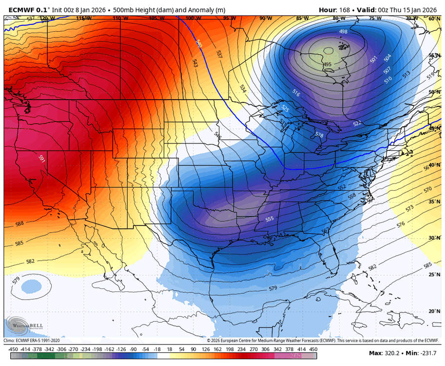
-
We’re going to eventually get a weenie run for the ages here soon. So much to like from that 12z suite.
-
we don't need a ku; they are rare anyway. we just would like some events. 3-6 is fine.
-
January 2026 regional war/obs/disco thread
CoastalWx replied to Baroclinic Zone's topic in New England
Never mind the outcome, verbatim… That’s what I’m kind of looking for for something other than a glancing blow… Something that will give us at least a couple of chances. -
Bitter Cold. The night before had single digit cold. Temps were b/w 15-20 degrees for most of the storm.
-
One of these is eventually going to give my kids the kind of storm I talk about from growing up in nj in the late 70s early 80s. Ready the phasers Captain! .
-
So pretty much between the 15th and 20th haha
-

E PA/NJ/DE Winter 2025-26 Obs/Discussion
The Iceman replied to LVblizzard's topic in Philadelphia Region
I'll take this look any day, progressive for sure but we will not be lacking for cold. Mid month onwards is looking great and honestly getting better as we get closer in time. https://www.tropicaltidbits.com/analysis/models/gfs-ens/2026010812/gfs-ens_z500a_namer_41.png gets even better imo after that but that's fantasy land. -
January 2026 regional war/obs/disco thread
CoastalWx replied to Baroclinic Zone's topic in New England
OK, this 12z euro run is exactly what you hope to see if you want something conducive. Look at that ridge over the West Coast right into Alaska. You don’t have that stupid nagging trough over Alaska That’s kicking down the ridge and just shitting on us all the time. That pokes right up into Santa‘s fanny. That’s what you want. Whether it happens or not, who knows. -
What were the temperatures in the city and Long Island during blizzard 96?
-
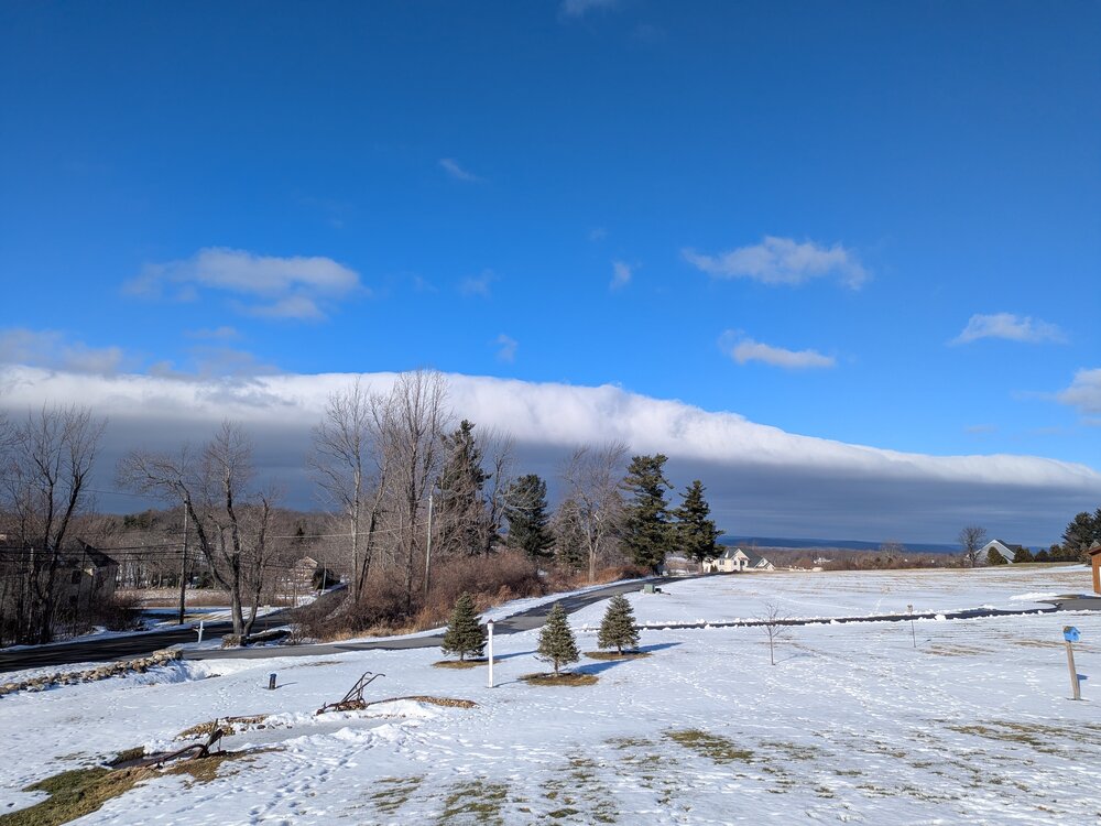
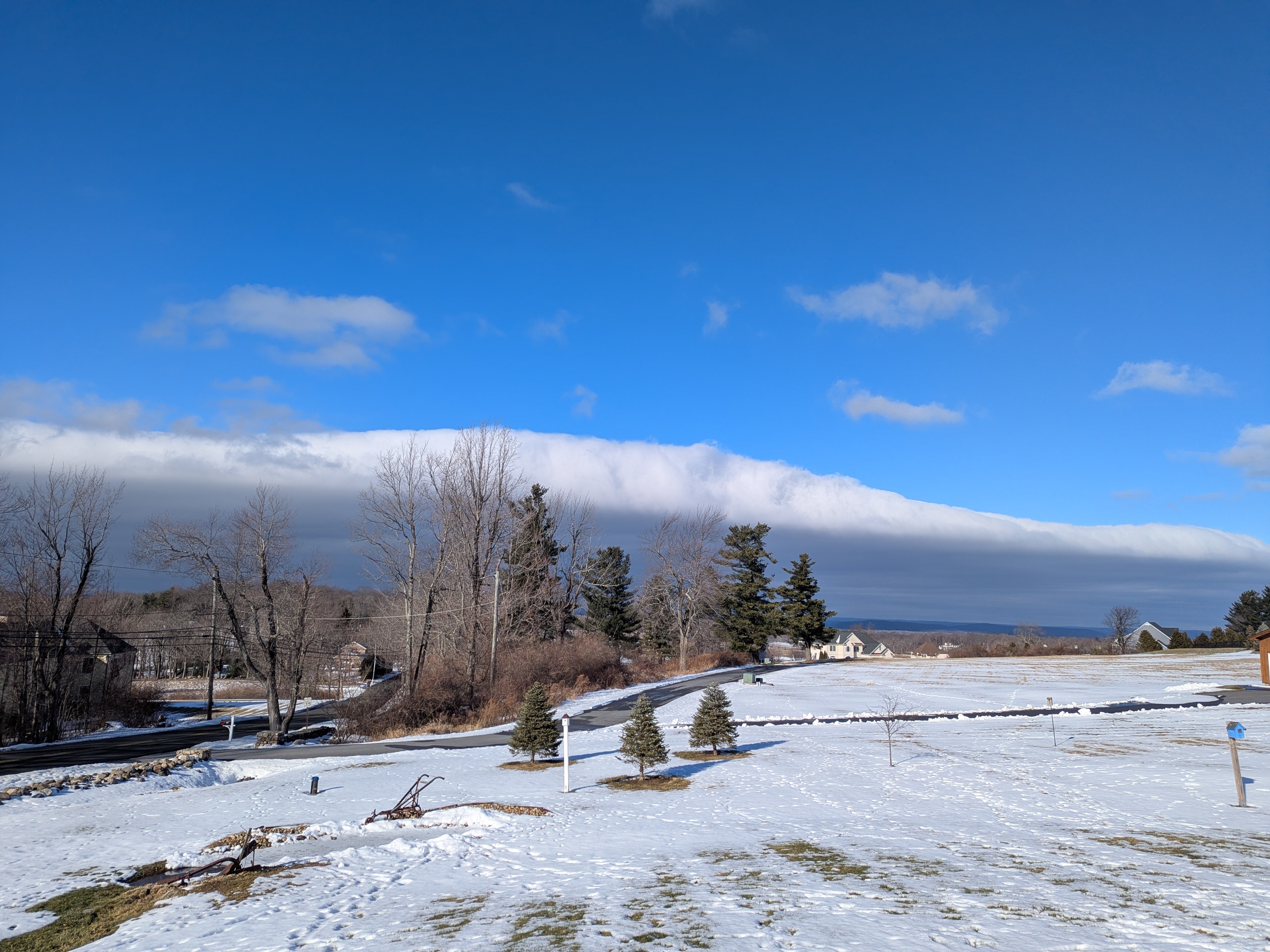
Roll cloud action in Burlington CT! PXL_20260108_181252868.RAW-02.ORIGINAL.dng
-
Fun look on the Euro in fantasy range. Has a good PNA spike before it collapses a bit due to another shortwave crashing into the PNW (part of the same PAC flow issues we've been dealing with for a few years) but there's all kinds of potential here (verbatim it all comes together well to our NE).
.thumb.png.41104ceea83ba7a23faf0c52e259c475.png)
-

2025-2026 ENSO
donsutherland1 replied to 40/70 Benchmark's topic in Weather Forecasting and Discussion
Of course. WPO-/EPO- can force cold outcomes even with a positive AO and NAO. But if one is referring only to the general AO/NAO state, positive states are typically warmer, not colder regardless of ENSO. Other variables weren’t noted. -
I mean my goodness. .


.png.0ad71425e06c99301a6128b8f232d048.png)