All Activity
- Past hour
-
They weren’t supposed to
-
Man this is how to run a summer month. Best August in years
-
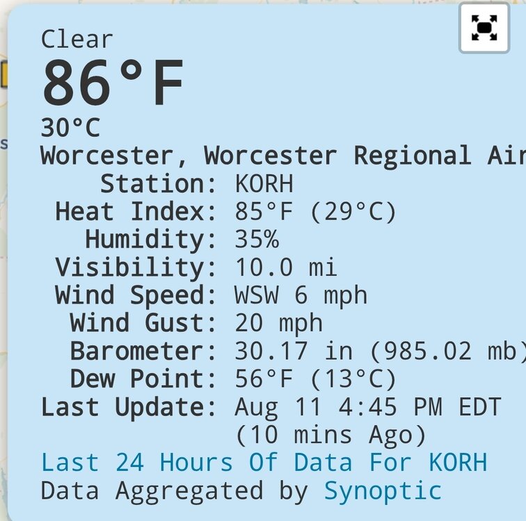
91 today at the Tamaqua homestead.
-
Yeah same down here. Even ewr didn't have a HI of 90°
-
While I do not anticipate the storm getting to the US coastline, how close she can get is dependent on a few different variables around timing, strength, and steering. Most of the ensemble spreads that favor a more west outcome keep the storm weaker for a longer period of time during the next 4-5 days. If Erin struggles to intensify, she could drift closer to the islands as the lifting effects of the EC trough won't be felt as much as it would with a deeper storm. How deep that trough dips as it exits the US also could impact the strength of the steering currents underneath. CMC for example keeps Erin weak and at a lower lat accordingly, so you don't see that NNE track component really kick in until Hispanola.
-
CON 97 MHT 96 Both 1° from records
-
Another hot day. 93. Love summer
-
Too late
-
I’d like some rain and there’s none in the 10 day. Flash drought just like last Augdewst. That means fires start breaking out soon
-
You’re worried…
-
That's what I was talking about earlier.. it's been showing up on some models..
-
97F day 2 in the books.
-
Could be that new spider that's laying eggs in folk's nasal cavities. Apparently the gestation period is quite short so you should be on the uptick quite soon.
-
Been like that most of the summer. Scorched North.
-
Heat index lower than the temperature lolz. Nice breeze here.
-
Neutral Enso
-
 Temperatures rose into the upper 80s and even lower 90s across the region. Far more impressive heat covered upstate New York, northern New England, southern Quebec, and New Brunswick. Near record to record highs were commonplace. Highs included: Bangor: 96° Buffalo: 91° Burlington: 96° Caribou: 94° (old record: 92°, 2020) Concord: 97° Manchester: 96° Plattsburgh: 91° (tied record set in 1970) Saranac Lake: 90° Miramichi, NB hit 99°. That is its second highest temperature on record. Montreal also topped out at 94°. Tomorrow through Thursday will be hot days across the region. Temperatures could top out in the lower and middle 90s in the hot spots. Aside from some showers or thundershowers Wednesday night into Thursday morning, mainly dry conditions will likely persist through at least the next weekend. The guidance continues to step down toward a cooler period following next weekend. The ENSO Region 1+2 anomaly was +0.8°C and the Region 3.4 anomaly was -0.3°C for the week centered around August 6. For the past six weeks, the ENSO Region 1+2 anomaly has averaged +0.50°C and the ENSO Region 3.4 anomaly has averaged -0.15°C. Neutral ENSO conditions will likely continue into early autumn. The SOI was -10.80 today. The preliminary Arctic Oscillation (AO) was -0.449 today. Based on sensitivity analysis applied to the latest guidance, there is an implied 51% probability that New York City will have a warmer than normal August (1991-2020 normal). August will likely finish with a mean temperature near 76.2° (0.1° above normal). Supplemental Information: The projected mean would be 1.0° above the 1981-2010 normal monthly value.
 - Today
-
It’s still brown as hell here in the ever present lake shadow. I don’t need a severe storm. ANY storm will do. It does seem that severe setups are the best for getting storms to survive Lake Michigan and provide rain. Garden variety popups and weakly forced MCSs just love to avoid this area. As for winter, even those have been boring and dry lately. Lake effect is a nuisance when it only comes 2-3”at a time.
-
True, but it is still doable, just messy.
-
Let's save all the precip for the winter months. Not sure why so many people want severe storm in their backyards.
-
Someone please pray it actually rains good IMBY some time in the next 36 hours. Most frustrating summer ever.
-
I believe the trend is to overall deamplify the players over the CONUS—the PNA ridge and the gyre over Eastern Canada. The teleconnections across the board are trending to neutral over the next 10 days. It’s spectacularly boring on that front. We’re pretty much left with just the background climate. With that, this will be a nice test case to see how much easterly flow we can develop without a deep trough over eastern US; i.e. how much of our background climate has actually changed as it relates to the higher heights regularly observed over the western Atlantic.
-
 Amazing to me to be in 100 degree heat but see snow in the distance.
 -
yeah, but then it'll be harder to pick up your dogs poop


