All Activity
- Past hour
-

2/26 - Follow-up Hopium Battlezone Storm
dailylurker replied to DDweatherman's topic in Mid Atlantic
Hell.. where's the rain that was forecast? Sun is out and it's 50 lol -
Scooter Scooter Scooter smh posts at 11 am in reaction to a 7 am post. Good fucking try
-

Outta gas and Outta Time: Early March Winter Storm finale
hosj III replied to Ji's topic in Mid Atlantic
I think its some combination of rosy retrospection and improvements in model accuracy being met with immediate attempts to extend forecasts further. I haven't been watching them nearly as long or nearly as well as you have, but in my view the improvements since 2010 are obvious and enormous. -
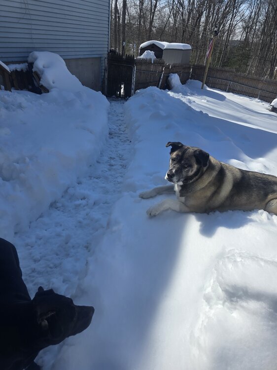
That was 7am this morning,wake up and smell the coffee. Currently in shorts and tees clearing 2 foot of your spring for dog paths
-
Beware the door ? https://x.com/bigjoebastardi/status/2027036223148036416?s=46&t=dhcbvkjmRcyBVQtDxJ3lRg
-

Outta gas and Outta Time: Early March Winter Storm finale
87storms replied to Ji's topic in Mid Atlantic
I’m looking forward to a pattern that actually favors a consistent return of gom moisture. With the nor’easter, the Atlantic finally said, “I’ll do the job”, though that’s not our best path to victory here. The lack of a stj and gulf influence is by far the number 1 reason for the northern md snow drought. I expect that once El Niño settles we won’t have so much of this nickel and dime, hit or miss stuff. -
Let what go ?
-

E PA/NJ/DE Spring 2026 Obs/Discussion
LVblizzard replied to PhiEaglesfan712's topic in Philadelphia Region
Major agreement for this on the globals and ensembles now. It looks like we could have an extended period of 60s and 70s starting late next week. -
Someone who jogs a half marathon daily is worried that the snow won’t accumulate on the roads in March.
-
Jeez I’m gettin naped in the truck right now.
-
B- and trending down imo
-
Let it go
-
Good case, Maestro. Also "a half beat too slow" lol wtf. Tough crowd
-
We do
-
December into early January is hurting my grade here missing out. We had the pattern too. On the other hand I can’t hate the two massive events and consistent cold and decent pack. But need a half decent march to really lock in an A.
-
Still need to see more cross guidance agreement, but NAM/GFS kind of remind me of the 1/17 advisory event that really popped up out of nowhere within 72 hours or so
-
Who cares about roads
-

Outta gas and Outta Time: Early March Winter Storm finale
Bob Chill replied to Ji's topic in Mid Atlantic
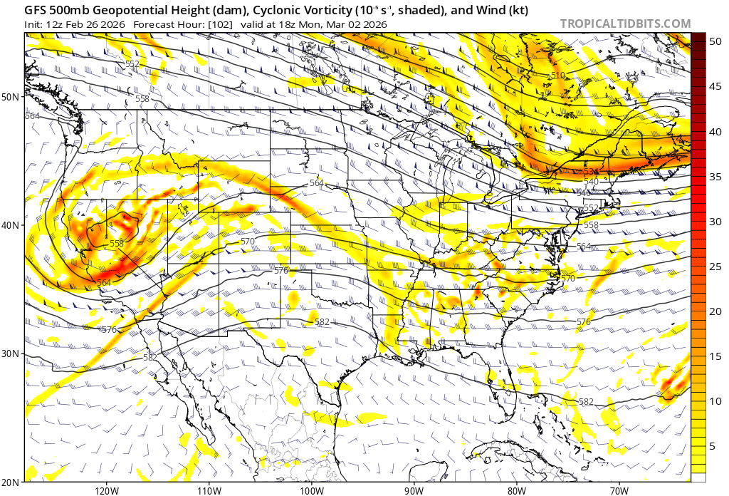
Upper levels have looked pretty blah on this one since the beginning. I agree with Wes about the overcooked potential and that's why I've been quiet. It's just not adding up for a 6" snowfall anywhere. Weak sauce won't do it with surface temps so I've been leaning towards SnowTV at best and I also don't think it ends up hitting my yard. Central VA thru the DMV is the most likely area to see any snow falling. If I only saw this panel on the GFS I would never think a 6" snowfall would be the outcome. I would think a swath of scattered light precip and not a shield that drops .5+qpf. All that said, models haven't locked into the strength of the shortwave and it definitely bears watching for accum snow for someone. The setup with the HP pressing into the precip is much better than HP running away. With enough lift pushing against a modest shortwave it can maximize potential in narrow stripe.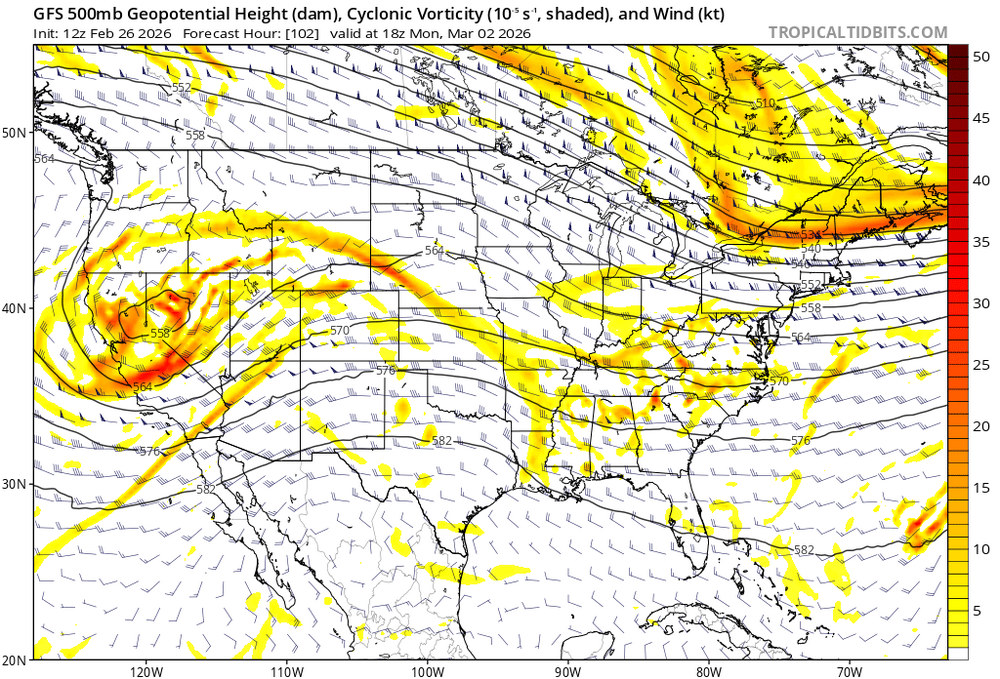
-
But Bernie thinks snow will reach all of New England - this is from this morning
-
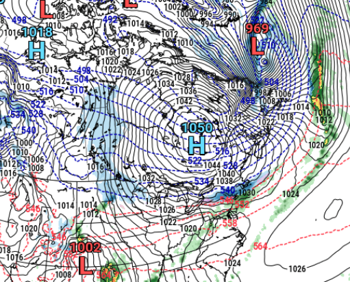
To Will's point from earlier check out the 12z GFS's eastern Canada high 1050!
-
I know I'm probably an outlier, but I always hope it's cold or cool as long as possible. I really enjoy spring, once it's proper spring. But forecast warmth now is still a drag for me. Idgaf about shorts and tshirts. Lawn care can wait as long as possible. I'll allow that warmer hikes are mildly appealing. March is a terrible month. The worst. A few torches in it doesn't make it better. All you bring on spring weenies, I get you, your warmth cravings are normal, I'm just not like that.
-
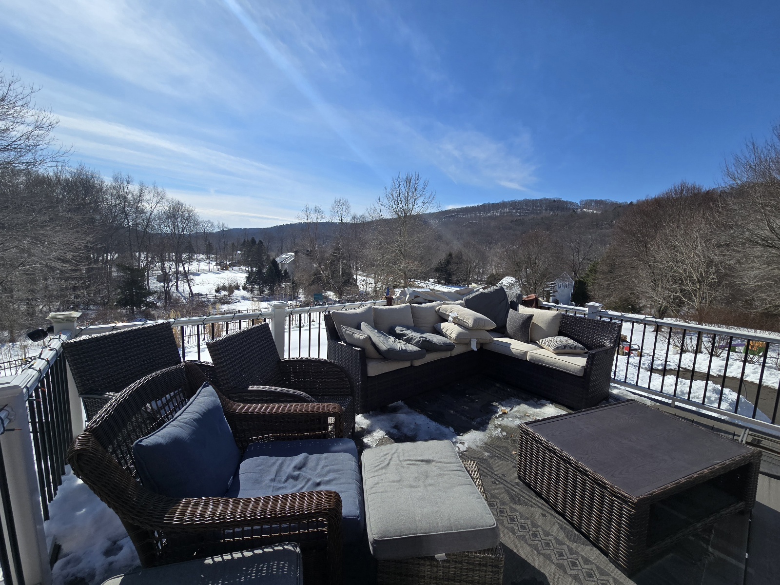
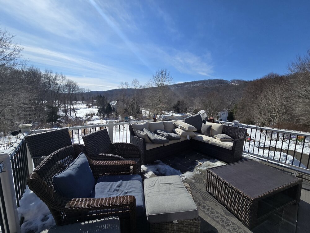
Almost 45 here under full sun, south facing porch ftw...kids were out here sunning until the 12 inches of snow starting shifting off the panels up above
-
Cmc was north but shreds the precip. Ukie has no 2nd wave.
-
We get these types of events heading into spring where the wavelengths change and events crank up as you get closer in . Reminds me of one of those that starts innocent and before you know it models ramp up each run to like 4-8” deal