All Activity
- Past hour
-
Yup. I also have a beam in my kitchen that only leaks on South winds.
-
congrats detroit?
-
 Just got tossed into a Tornado watch here! TORNADO WATCH OUTLINE UPDATE FOR WT 66 NWS STORM PREDICTION CENTER NORMAN OK 855 AM EDT MON MAR 16 2026 TORNADO WATCH 66 IS IN EFFECT UNTIL 200 PM EDT FOR THE FOLLOWING LOCATIONS VAC005-009-011-017-019-023-029-031-037-067-083-089-141-143-161- 163-530-580-590-678-680-690-770-775-161800- /O.NEW.KWNS.TO.A.0066.260316T1255Z-260316T1800Z/ VA . VIRGINIA COUNTIES INCLUDED ARE ALLEGHANY AMHERST APPOMATTOX BATH BEDFORD BOTETOURT BUCKINGHAM CAMPBELL CHARLOTTE FRANKLIN HALIFAX HENRY PATRICK PITTSYLVANIA ROANOKE ROCKBRIDGE VIRGINIA INDEPENDENT CITIES INCLUDED ARE BUENA VISTA COVINGTON DANVILLE LEXINGTON LYNCHBURG MARTINSVILLE ROANOKE SALEM
- 340 replies
-
- 1
-

-
- severe
- thunderstorms
- (and 1 more)
-
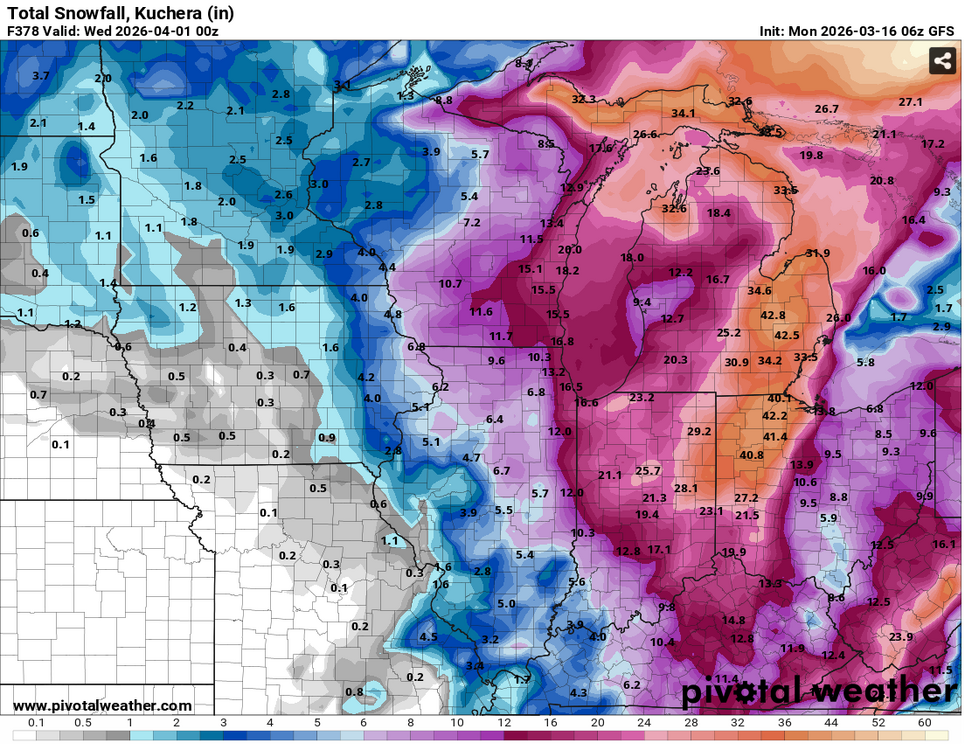
Will and I called that... Or actually, it's better to say that the modeling complexion, indices to performance tenors et al, looked like a no win scenario for mid March+, two weeks ago. He had a back and forth about it. Those indicators were ugly. Not sufficient to offset normal seasonal climb out (the haunting abstraction of CC not helping -). Yet, the pattern still looked like it was going to try and fight the sun. The residue of that leaves us with no fun for late winter enthusiasts, and no fun for spring and warmth. No one wins. It seems the models nailed this purgatory.
-
 That’s extremely close to a PDS criteria watch… maybe highest I’ve seen.
 -
 This too. But Chipotle tho…
 -
 I work with a lot of MDEM folks. I probably know them
 -
Yoda has had a microchip embedded in his brain that for years that receives watches, AFDs and sports scores directly the nanosecond they are issued. This is why we keep him around.
- 340 replies
-
- 2
-

-
- severe
- thunderstorms
- (and 1 more)
-
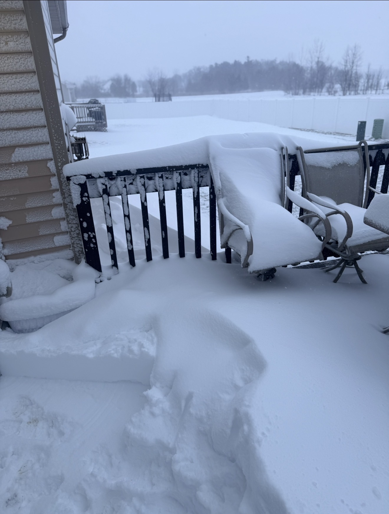
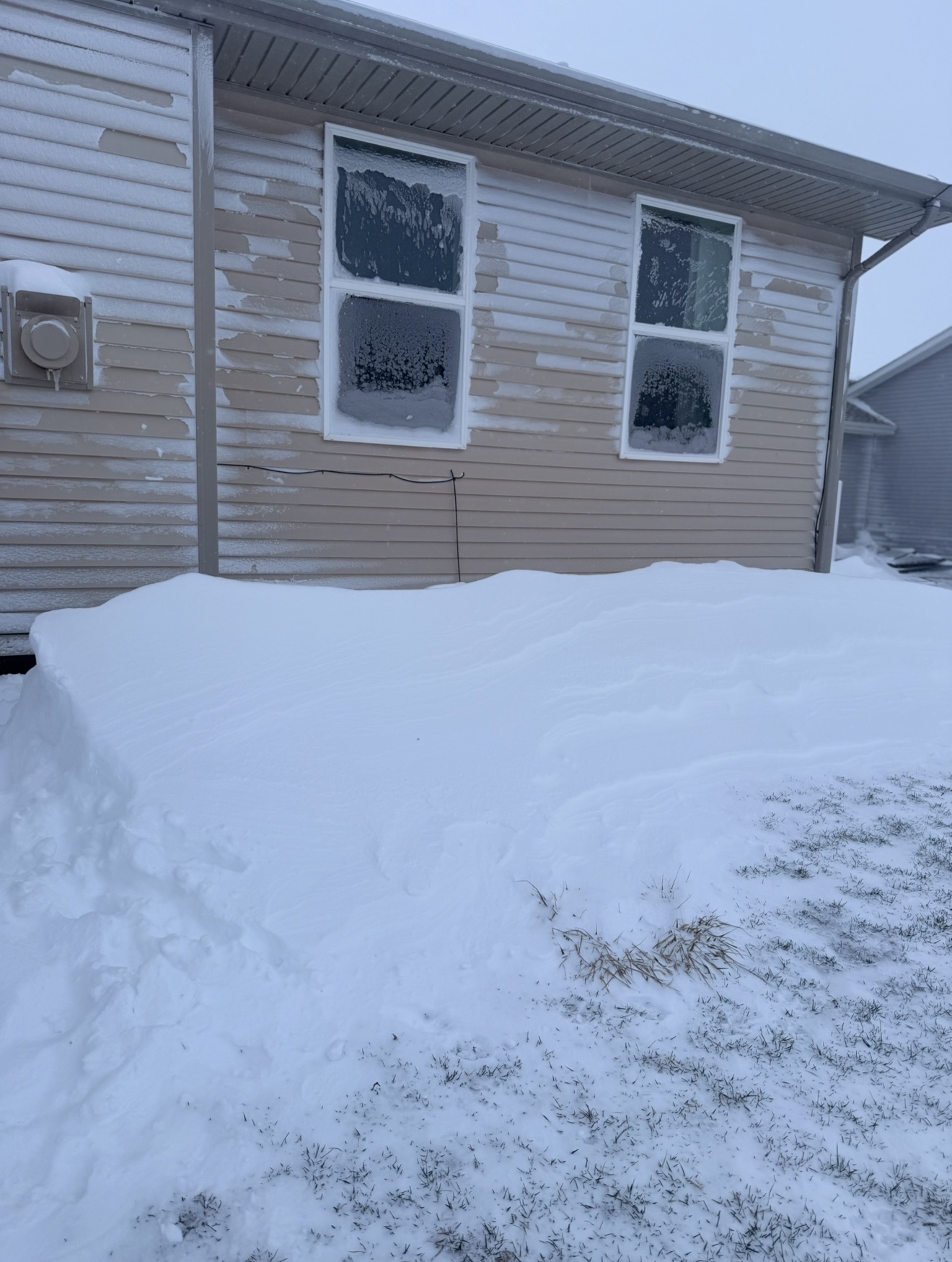
.75 so far
-
 What are you going to order for the other thing you’re missing?.
 -
 Can we be adults and move along from the ethics of rooting for weather and not wish for buildings to be slabbed
- 340 replies
-
- 5
-

-
-
- severe
- thunderstorms
- (and 1 more)
-
Sadly posting this with a heavy, heavy heart- Obituary information for Roger James Smith
-
Nah, I like those buildings. let’s leave it at that and move on. Now I wouldn’t mind it taking out the chipotle near me. Mfers always skimping on the proteins like it’s coming out of their paychecks. But I digress.
- 340 replies
-
- 3
-
-
-
- severe
- thunderstorms
- (and 1 more)
-
 SPC mesoanalysis already shows 500 surface based cape in the watch zones with 250 stretching to Cvill and parts northward.
 -
https://www.facebook.com/share/r/1AeQBVmtfY/?mibextid=wwXIfr this is incredible. In the death band in the UP
-
 Um... 80/60 tor probs in the watch >95/70 wind probs
- 340 replies
-
- 1
-
-
- severe
- thunderstorms
- (and 1 more)
-
Tornado watch just went into effect at 855 am for of the Triangle and beyond until 2pm. NORTH CAROLINA COUNTIES INCLUDED ARE ALAMANCE ANSON CASWELL CHATHAM CUMBERLAND DAVIDSON DURHAM FORSYTH GRANVILLE GUILFORD HARNETT HOKE LEE MONTGOMERY MOORE ORANGE PERSON RANDOLPH RICHMOND ROCKINGHAM SCOTLAND STANLY STOKES VANCE WAKE https://forecast.weather.gov/showsigwx.php?warnzone=NCZ024&warncounty=NCC135&firewxzone=NCZ024&local_place1=6 Miles ESE Saxapahaw NC&product1=Tornado+Watch&lat=35.9087&lon=-79.2295
-
 It's pretty nasty buy but not anything crazy. Biggest gusts during torrential rain and some decent CG. Power is still on lol
- 340 replies
-
- 1
-
-
- severe
- thunderstorms
- (and 1 more)
-
URGENT - IMMEDIATE BROADCAST REQUESTED Tornado Watch Number 66 NWS Storm Prediction Center Norman OK 855 AM EDT Mon Mar 16 2026 The NWS Storm Prediction Center has issued a * Tornado Watch for portions of Central North Carolina Central Virginia * Effective this Monday morning and afternoon from 855 AM until 200 PM EDT. * Primary threats include... Several tornadoes and a couple intense tornadoes likely Widespread damaging winds expected with isolated significant gusts to 85 mph likely Isolated large hail events to 1 inch in diameter possible SUMMARY...A fast-moving line of severe thunderstorms will sweep across the watch area through the morning hours, posing a risk of widespread damaging wind gusts and a few tornadoes. Strong tornadoes are possible. The tornado watch area is approximately along and 60 statute miles east and west of a line from 50 miles east northeast of White Sulphur Springs WV to 35 miles south southwest of Southern Pines NC. For a complete depiction of the watch see the associated watch outline update (WOUS64 KWNS WOU6).
- 340 replies
-
- 1
-
-
- severe
- thunderstorms
- (and 1 more)
-
No LWX CWA counties in the newly issued Tornado Watch
-
 Whereas I might view this as an upside.
 -
This. It’s my main worry believe it or not. I’m not a met, but I get super defensive when the public start shitting on yall and my God, the whining if this doesn’t happen will be insufferable.
- 340 replies
-
- 4
-
-
-
- severe
- thunderstorms
- (and 1 more)