All Activity
- Past hour
-
A disappointing 0.24" when areas to the south of town got 2+ inches. But still had 2.87" this week and 4.10" for the month, which is my first 4+ inch month since at least last June (my PWS records only go back a year). Rain didn't use to be this hard.
-
.23 this batch .55 for the event. If i somehow have a good day tomorrow maybe this could end close to an inch
-
On those days the south shore can be the hottest in the whole area because of compressional heating. Around the Southern State and Hempstead/Garden City are usually the hot spots.
-
Tues the 30th looks to be the hottest showing 35C/94F with a staggering humidex of 47! That is rare and unlikely to verify but my guess is 44. That's going to be a real beat down since we're still not used to any heat. Also impressive is the string of very warm lows maybe 4 nights at 23C+.
-

Junorch obs and discussion 2026
Damage In Tolland replied to Damage In Tolland's topic in New England
Apparently you were looking at Memorial Day output -
I wonder what it would take to make a load balanced system capable of bringing on the international constituency
-

Junorch obs and discussion 2026
TauntonBlizzard2013 replied to Damage In Tolland's topic in New England
Did you look at the model? Be honest -
This is looking increasingly more synergistic in nature as the time nears. It’s kind of funny too because just last week or maybe the week before… we were sort of questioning whether this could ever happen here hm Nothing’s happened yet so we’ll see what this looks like over the next couple days of new modeling solutions but… this has inched into a remarkable situation for the time being the strongest signal for >100 degree temps lies in interior river valleys and larger urban areas. Equally concerning is the signal for limited cooling at night mid week. The NBM shows a widespread 60-80% chance for low temperatures above 70 degrees Wednesday to Friday, with a 50-70% chance for lows greater than 75 degrees for much of Southern New England! Seeing signals for extreme heat impacts appear in Heat Risk guidance with widespread Major (3/4) impacts expanding over much of the CWA on Wednesday. By Thursday, several urban areas including Boston and portions of the CT River Valley may see Extreme (4/4) heat impacts. Levels like these are typically reserved for rare and/or long duration heat with little overnight relief.
-
After being pretty worried I screwed things up, the fireflies are back and putting on a show. Trying to figure out how to best capture it with light pollution from the neighbor.
-
It’s raining here now, are you getting anything with the current batch?
-
-
High of 89 today. Got .25" from an early afternoon thunderstorm and then another .75" from a severe warned storm this evening. Looked worse on radar than it actually was. Good beneficial rains today. I am now up to 3.39" for the month.
-
Help yourself. I'm trying to find a new pic more reflective of my environment. It's too dry here for cacti.
-
So 6 hours without power. Just came back on.
-
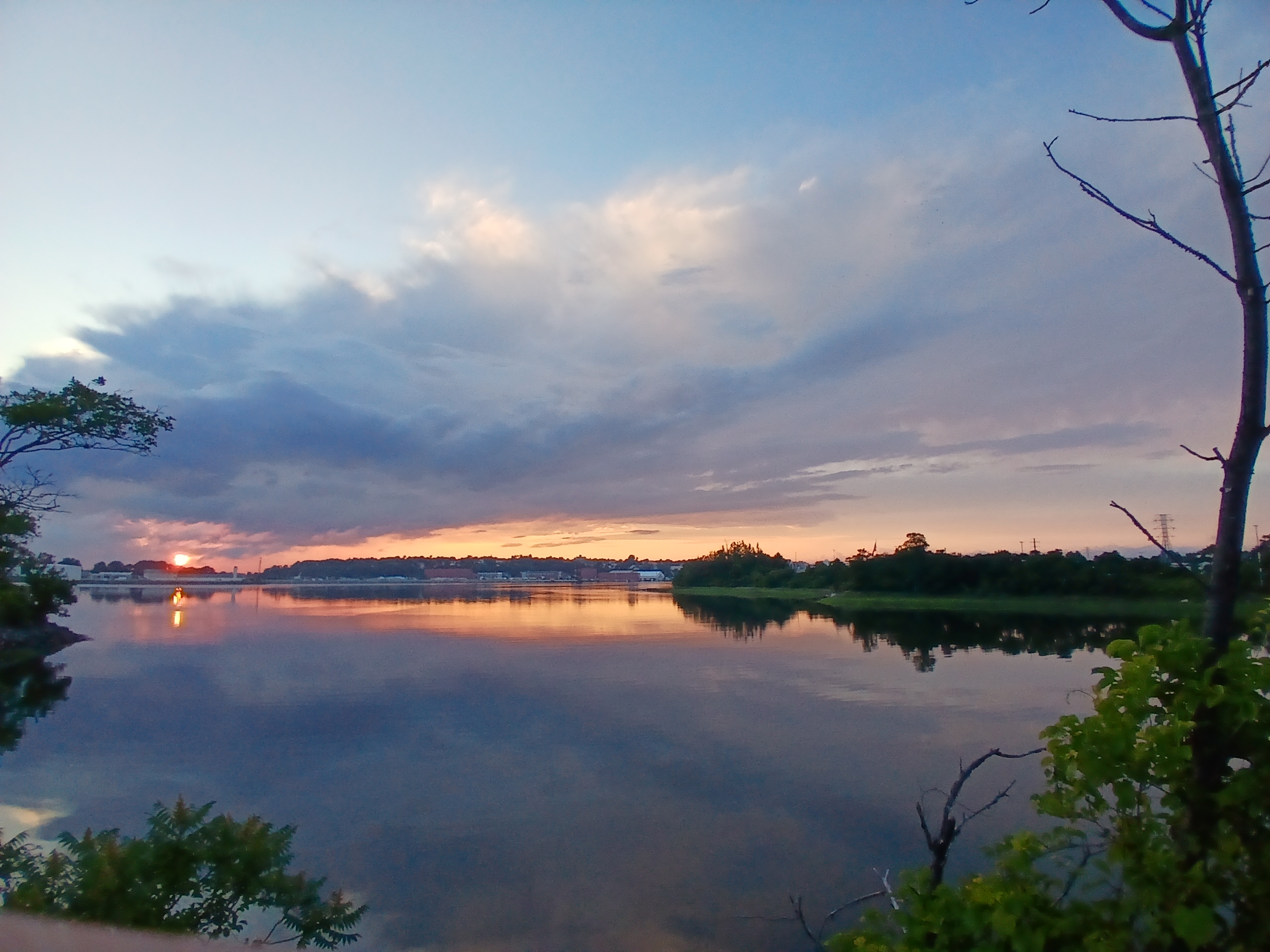
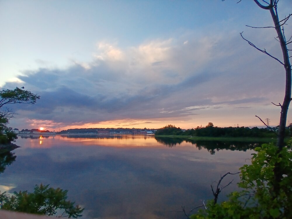
Good cloud action before sunset. Towers from storms about 35 miles west of PWM, with some fog bank rolling in.
.thumb.jpg.952ad60f4a936fc6e377d40bf4a59fb8.jpg)
-
When you switch to 5G, does it work?
-

Central PA Summer 2026 Discussion/Obs Thread
mahantango#1 replied to Voyager's topic in Upstate New York/Pennsylvania
Idk why the rain has been like this. Some places get decent rain and other places hardy get any. I'm about 30 miles away from you as the crow flies. And the amount of rain you received compared to me is stunning. Hopefully soon you and others will cash in on decent rain. -
"Anger is a gift" (said softly). FREEDOM!!!!!!!!!!!!
-
Special marine warnings? Those are a dime a dozen. Special marine warnings used to be only for convective wx, now a typical cold FROPA prompts them. Or "wind burst," whatever that is. Gradient winds will already be strong and wind advisories or high wind warnings out, which cover things well, and you get special marine warnings independent of any convection. More warnings/alerts are not always better. There comes a point of diminishing returns. Apathy, for one, b/c of too many warnings. Ppl start tuning out. It's not good to be "held hostage" by the wx. And business and commerce gets more disrupted b/c officials/authorities cancel more b/c of hearing increasing amounts of alerts/warnings. This has real economic impact.
-
- Today
-
And I don’t think I could have predicted this any better
-

Late May/June 2026 Medium/Long Range
winter_warlock replied to JenkinsJinkies's topic in Mid Atlantic
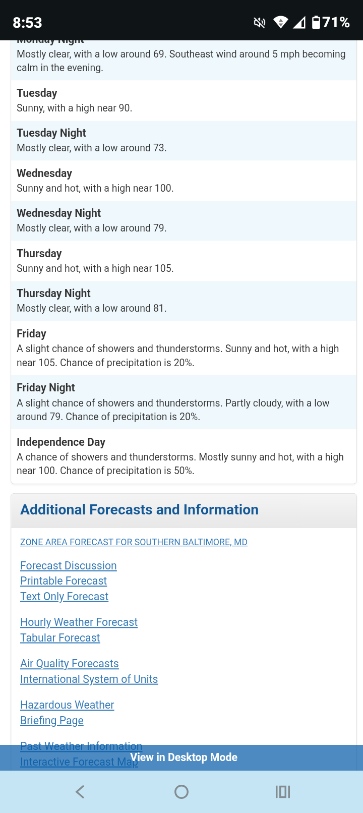
Updated LWX forecast for coming week. Brutal heat!! Temps near 105!! Hate to even imagine what the heat index will be!!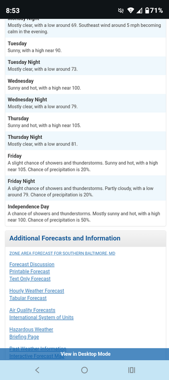
-
Pretty rare to see nws point and click forecasts of 102-104° forecasted 4-6 days out .
-
Jul 3 -4 Very hot / humid isolated storms on both GFS/Euro - GFS a bit more storminess. Jul 5-6 : Hot - scattered storms.
-
MAAA Made AmericanWx American Again


.jpg.c0c13a148c0b78f6925fdec13d8a3ab4.jpg)