Windspeed
-
Posts
4,843 -
Joined
-
Last visited
Content Type
Profiles
Blogs
Forums
American Weather
Media Demo
Store
Gallery
Everything posted by Windspeed
-
With a -NAO, deep ECONUS trough and strong subtropical jet in place, anything that would/could develop in the GOM is going to be a very asymmetric heavily sheared mess. Would probably resemble a system much like a running coastal low or nor'easter. However, that could bring severe storms across Florida and the coastal Carolinas if there were to be any phase. At any rate, something to watch in the long-range.
-
I am still working out my numbers. Where most seasonal forecasts are out and dependent upon neutral versus La Nina ENSO conditions, I am waiting just to bit, perhaps early May. The three major ENSO models should have better projections as region 3 begins to decline. I'd really like to know if we're going full Nina. Additionally, I'd like to know if +NAO is going to kick in big time and much earlier in the coming late Spring / early Summer period, or if that is going to oscillate virtually neutral as well. It's more than just projections of active versus hyperactive, but higher track nodes for the W. Caribbean or CONUS versus MDR and susceptibility to recurve.
-
http://www.essc.psu.edu/essc_web/research/Hurricane2020.html
-
Hank is an intelligent chaser and is usually cautious but, yeah, he was too close there. I'd imagine his wife will tan his hide over that one. Even the best chasers are still human and prone to mistakes. Being a professional storm chaser is a life that is susceptible to risks.
-
Well then. Definitely going to want to pay close attention to how this evolves over the coming days.
-
-
This year in particular has already been a memorable one for tornadoes in the Tennessee Valley. We've not only had destructive touchdowns, but they've unfortunately gone through urban and dense residential areas. So far, one EF2, two EF3s and one EF4 have all been destructive killers in the greater Tennessee Valley region. The season is far from over as well. The pattern in days 5 through 14 is looks suspicious in setup and midrange modeling. We'll have a quiet week. But next week may be active again.
-
Latest ENSO NMME forecast courtesy of@jaxjagman
-
Quick discussion about a possible secondary boundary setting up SW of the current MCS complex (currently moving through EKY->SWVA->TriCities) over portions of ETN Valley later tonight when the main event rolls through. Could that add to the dynamics in play for some brief QLCS spinups?
-
-
-
 Bad timing perhaps. Harold's latest ERC looks to have completed and some reintensification may underway just before landfall on Kadavu Island:
 -
Harold's core just missed greater Fiji to the SW. But Kadavu Island (pop.~10k) will take a direct hit. Images/gif courtesy of Brian McNoldy @ University of Miami RSMAS: http://bmcnoldy.rsmas.miami.edu/tropics/harold20/Harold_7-8Apr20_nadi.gif
-
Round one tomorrow evening/night..
-
And of course the one we've been watching for: The trough/phase dynamics at play, leading to a potential outbreak on Easter Sunday. This might be a doozy:
-
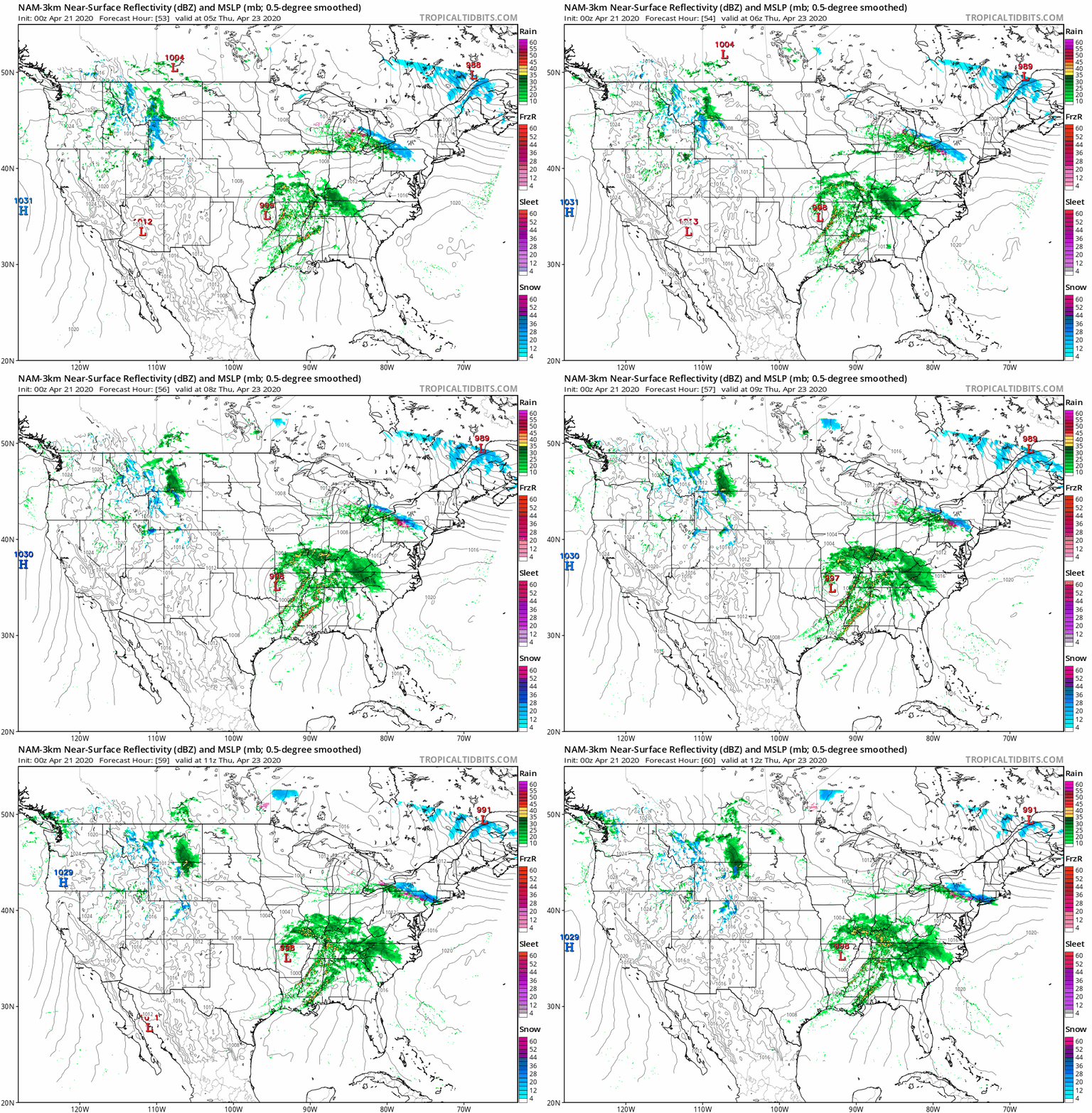
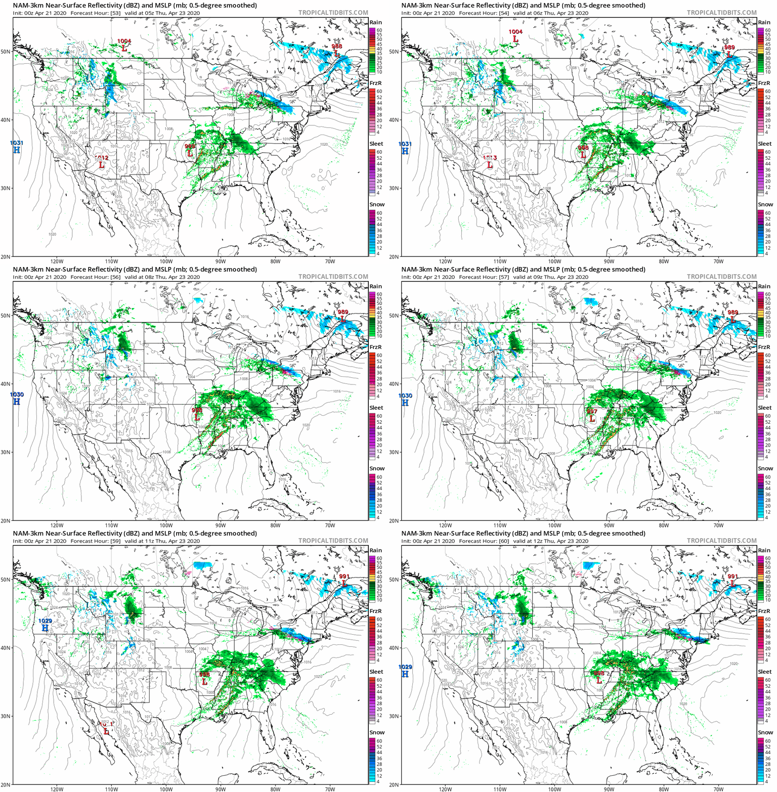
Possible severe on Wed evening into Thurs AM?
-
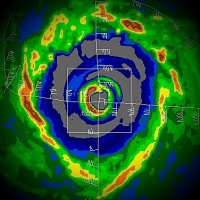
Incredible recovery by Extreme TC Harold from land interaction over Espiritu Santo, Vanuatu. This is a textbook study right here before our eyes. I've never seen anything like this previous.
-
Extreme TC Harold has made landfall over the southern periphery of the island of Espiritu Santo, Vanuatu. Fortunately this region is not as populated as the northeastern region of that large island. Whoever is there is likely getting rocked however. Nice presentation through landfall. The eyewall was strong even if old cloud debris from the ERC was still clearing out within the new eye. Will be interesting to see how much land interaction influences weakening. I suspect there will be some weakening as Harold continues ESE.
-
FWIW, I've read data ingestion for the major models is being affected by a lack of global flights. I do not know how accurate this is or, if an issue, how wacky mid-to-long range modeling will become as we go forward the next month.