Tatamy
-
Posts
2,571 -
Joined
-
Last visited
Content Type
Profiles
Blogs
Forums
American Weather
Media Demo
Store
Gallery
Everything posted by Tatamy
-
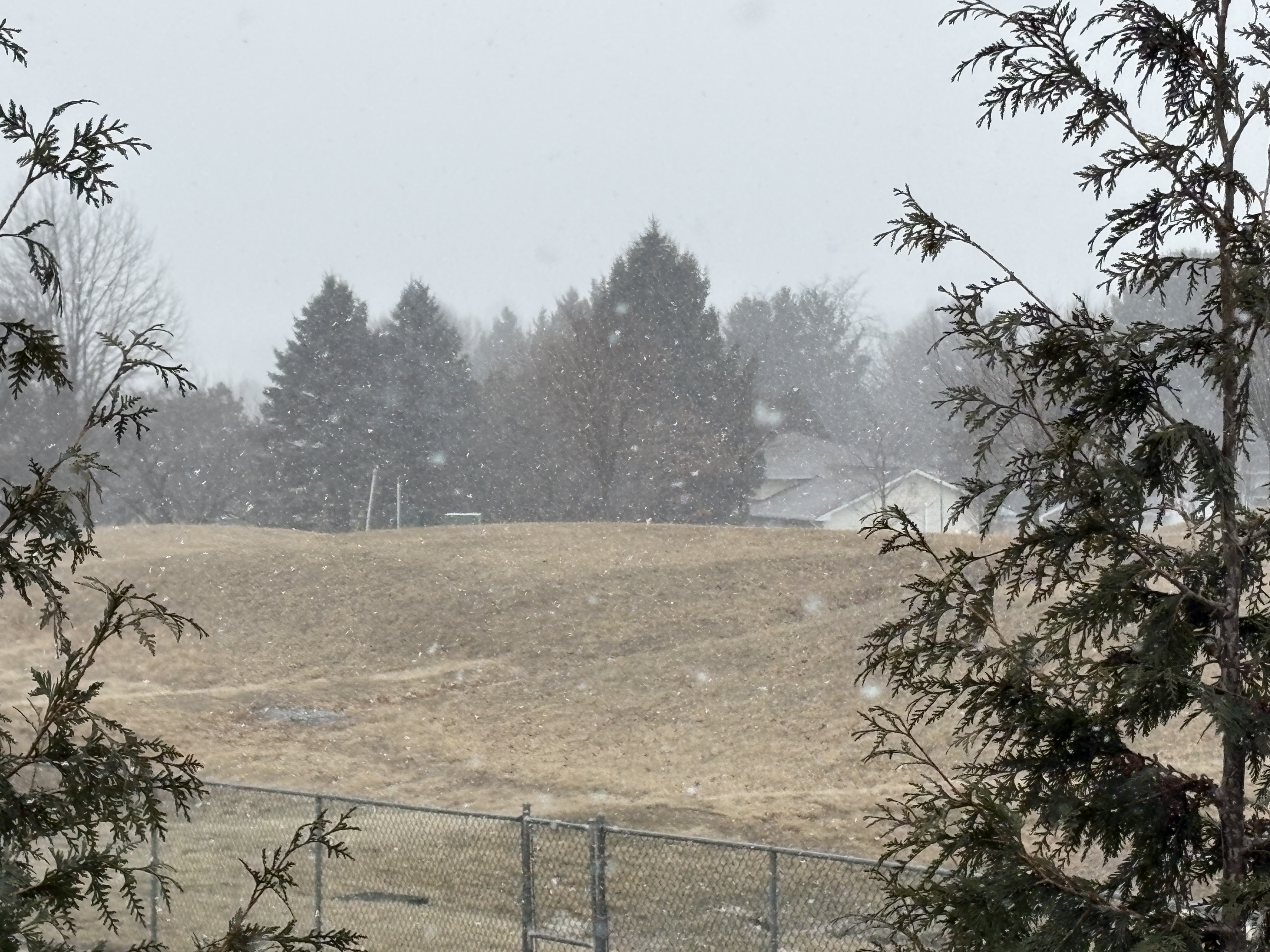
Watching those quick moving snow showers and squalls moving through northern and western NJ currently. Getting a snow shower now.
-
 Seeing my first light flurries of the season here. A look at traffic cams along I80 and I84 in NE PA shows widespread light snow and flurries with light accumulations especially above 800-1000 ft. This is heading out towards northern New Jersey.
 -
Do you have any thoughts regarding the last 4 runs of the CFS for next week?
-
Stations that I follow on Fire Island are measuring wind gusts of 40-50 mph this afternoon. My max gust so far today is 41 mph at Cherry Grove.
- 246 replies
-
- 1
-

-
- heavy rain
- damaging wind? squalls?
- (and 2 more)
-
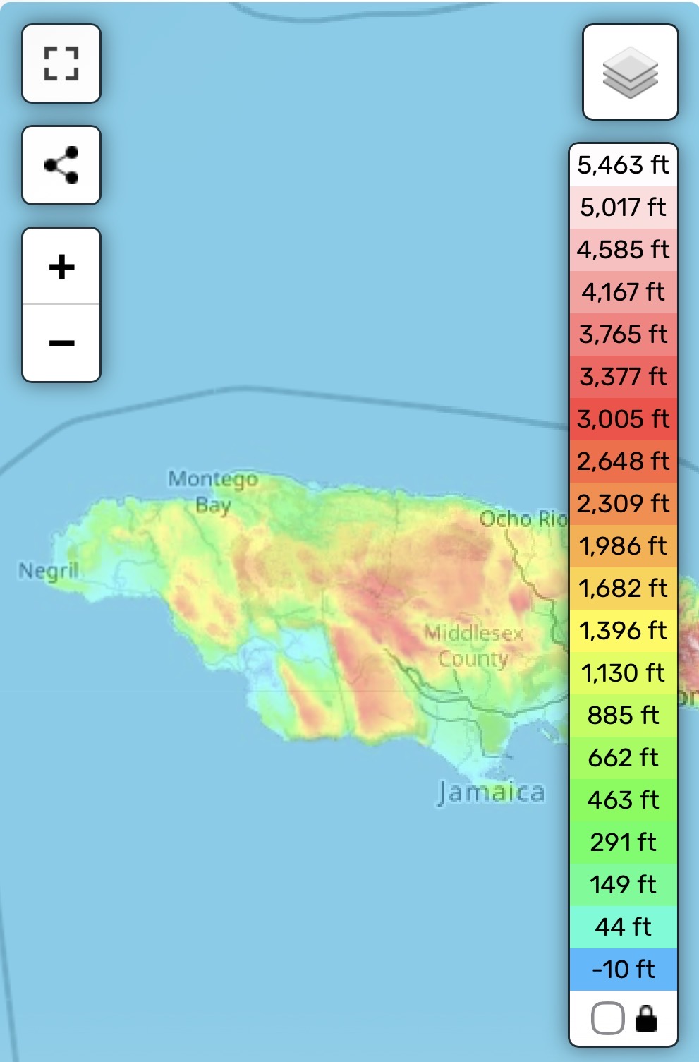
Major Hurricane Melissa - 892mb - 185mph Jamaica landfall
Tatamy replied to GaWx's topic in Tropical Headquarters
Topographical Map of western Jamaica
-
Eventually the longer term pattern will change. It’s well known that the north shore is the place to be on LI during winter storms with the added moisture from the sound entraining into the synoptic scale precipitation bands. Now the pattern is more like that of 70s/80s with the coastal hugger storm tracks. I moved out to PA in 2005 and you guys probably got 3x more snow since then through 20/21 than what I saw here.
-
Absolutely true.
-
I grew up in East Northport so I can tell you that the combination of the slightly higher elevations on the north shore and a very light breeze off the sound during the overnight hours messed up many a frost opportunity with this type of synoptic setup. It’s why places in the center of the island and out by Westhampton are usually the cold spots.
-
I am thinking the same for here. There has actually already been frost in my neighborhood in the low spots but not in my yard (I am on a hill top).
-
We need Arctic stream involvement for snow to the coast this time of year. Polar stream involvement means possible snow for the Poconos/Catskills.
-
.54 here to green up the grass.
-
September 2025 OBS-Discussion centered NYC subforum
Tatamy replied to wdrag's topic in New York City Metro
Total yesterday here was 2.35”. Nice overperformer. -
September 2025 OBS-Discussion centered NYC subforum
Tatamy replied to wdrag's topic in New York City Metro
0.7 “ south of you in Bethlehem Twp. Definitely much needed. -
July 2025 Discussion-OBS - seasonable summer variability
Tatamy replied to wdrag's topic in New York City Metro
While not a big thunder producer here (CTG strikes) the convergence zone that has set up across the Lehigh Valley has really produced in terms of rain. Today’s rain total is up to 1.38”. We are under a FFW which is a good call from Mt. Holly. -
July 2025 Discussion-OBS - seasonable summer variability
Tatamy replied to wdrag's topic in New York City Metro
No big winds here. Plenty of colorful radar echoes overhead. Interesting storm in the sense that there is a constant low rumbling of thunder with it. It’s all in the clouds. It’s like somebody set a sound machine to thunder instead of rain. 0.30” so far with 67F. -
Interesting sky here however virtually no lightning. Tornado warned storm is just south of Allentown currently.
-
Overcast with light rain here as well. Looks like we get a reprieve from the heat today (or at least part of the day). 77 F
-
Skies have really opened up out here. We are getting some decent lightning with this including CTG. We are severe warned however there’s no wind to speak of.
-
OBS for OKX Flood Watch (attached) into early Saturday 5/10/25
Tatamy replied to wdrag's topic in New York City Metro
Vorticity observed on radar with the band moving into Suffolk County. -
Strong winds out here this afternoon. I am seeing gusts of 35-40 mph.
-
I was on LI and the March ‘93 was definitely a Superstorm where I was. After getting 10” of snow I received about 2 hours of the nastiest sleet I ever heard. It was extremely loud with the very strong winds that accompanied it.
-
Discussion-OBS snow event sometime between 06z Thu 2/20-12z Fri 2/21?
Tatamy replied to wdrag's topic in New York City Metro
I have 1/2” new in Bethlehem Twp. PA -
Discussion-OBS snow event sometime between 06z Thu 2/20-12z Fri 2/21?
Tatamy replied to wdrag's topic in New York City Metro
Steady light snow 22/18 F -
Discussion-OBS snow event sometime between 06z Thu 2/20-12z Fri 2/21?
Tatamy replied to wdrag's topic in New York City Metro
We have dropped from about 5 miles to less than 1.
-
Discussion-OBS snow event sometime between 06z Thu 2/20-12z Fri 2/21?
Tatamy replied to wdrag's topic in New York City Metro
It has to do with the placement and movement of the ULL.