Tatamy
-
Posts
2,583 -
Joined
-
Last visited
Content Type
Profiles
Blogs
Forums
American Weather
Media Demo
Store
Gallery
Everything posted by Tatamy
-

July 2025 Discussion-OBS - seasonable summer variability
Tatamy replied to wdrag's topic in New York City Metro
While not a big thunder producer here (CTG strikes) the convergence zone that has set up across the Lehigh Valley has really produced in terms of rain. Today’s rain total is up to 1.38”. We are under a FFW which is a good call from Mt. Holly. -
July 2025 Discussion-OBS - seasonable summer variability
Tatamy replied to wdrag's topic in New York City Metro
No big winds here. Plenty of colorful radar echoes overhead. Interesting storm in the sense that there is a constant low rumbling of thunder with it. It’s all in the clouds. It’s like somebody set a sound machine to thunder instead of rain. 0.30” so far with 67F. -
Interesting sky here however virtually no lightning. Tornado warned storm is just south of Allentown currently.
-
Overcast with light rain here as well. Looks like we get a reprieve from the heat today (or at least part of the day). 77 F
-
Skies have really opened up out here. We are getting some decent lightning with this including CTG. We are severe warned however there’s no wind to speak of.
-
OBS for OKX Flood Watch (attached) into early Saturday 5/10/25
Tatamy replied to wdrag's topic in New York City Metro
Vorticity observed on radar with the band moving into Suffolk County. -
Strong winds out here this afternoon. I am seeing gusts of 35-40 mph.
-
I was on LI and the March ‘93 was definitely a Superstorm where I was. After getting 10” of snow I received about 2 hours of the nastiest sleet I ever heard. It was extremely loud with the very strong winds that accompanied it.
-
Discussion-OBS snow event sometime between 06z Thu 2/20-12z Fri 2/21?
Tatamy replied to wdrag's topic in New York City Metro
I have 1/2” new in Bethlehem Twp. PA -
Discussion-OBS snow event sometime between 06z Thu 2/20-12z Fri 2/21?
Tatamy replied to wdrag's topic in New York City Metro
Steady light snow 22/18 F -
Discussion-OBS snow event sometime between 06z Thu 2/20-12z Fri 2/21?
Tatamy replied to wdrag's topic in New York City Metro
We have dropped from about 5 miles to less than 1.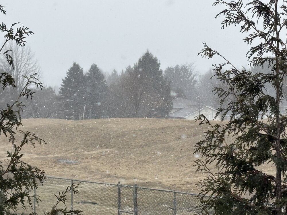
-
Discussion-OBS snow event sometime between 06z Thu 2/20-12z Fri 2/21?
Tatamy replied to wdrag's topic in New York City Metro
It has to do with the placement and movement of the ULL. -
Discussion-OBS snow event sometime between 06z Thu 2/20-12z Fri 2/21?
Tatamy replied to wdrag's topic in New York City Metro
Heaviest snow is between Harrisburg and just to my west in Allentown. Looks like visibility is getting ready to crash here.
-
Discussion-OBS snow event sometime between 06z Thu 2/20-12z Fri 2/21?
Tatamy replied to wdrag's topic in New York City Metro
Flurries and some very light snow. 23/14 F -
Discussion-OBS snow event sometime between 06z Thu 2/20-12z Fri 2/21?
Tatamy replied to wdrag's topic in New York City Metro
I will take the light snows from the ULL. -
Discussion-OBS snow event sometime between 06z Thu 2/20-12z Fri 2/21?
Tatamy replied to wdrag's topic in New York City Metro
Walt has also commented on the potential of snow from the ULL. -
Discussion-OBS snow event sometime between 06z Thu 2/20-12z Fri 2/21?
Tatamy replied to wdrag's topic in New York City Metro
0z NAM is trying to set up an IVT from the ocean storm center N&W towards the island and NYC. -
OBS-Nowcast Noon Saturday 2/15-Noon Monday 2/17
Tatamy replied to wdrag's topic in New York City Metro
Pressure minimum of 29.08” here. Have measured multiple gusts over 40 mph. -
Discussion-OBS snow event sometime between 06z Thu 2/20-12z Fri 2/21?
Tatamy replied to wdrag's topic in New York City Metro
I lived in those days and the answer is that it was depressing. -
OBS-Nowcast Noon Saturday 2/15-Noon Monday 2/17
Tatamy replied to wdrag's topic in New York City Metro
Steady light snow 29/28 F. 1 mile visibility. 3/4” new OTG. -
OBS-Nowcast Noon Saturday 2/15-Noon Monday 2/17
Tatamy replied to wdrag's topic in New York City Metro
Light snow 31/21 F - Visibility 2 miles -
OBS-Nowcast Noon Saturday 2/15-Noon Monday 2/17
Tatamy replied to wdrag's topic in New York City Metro
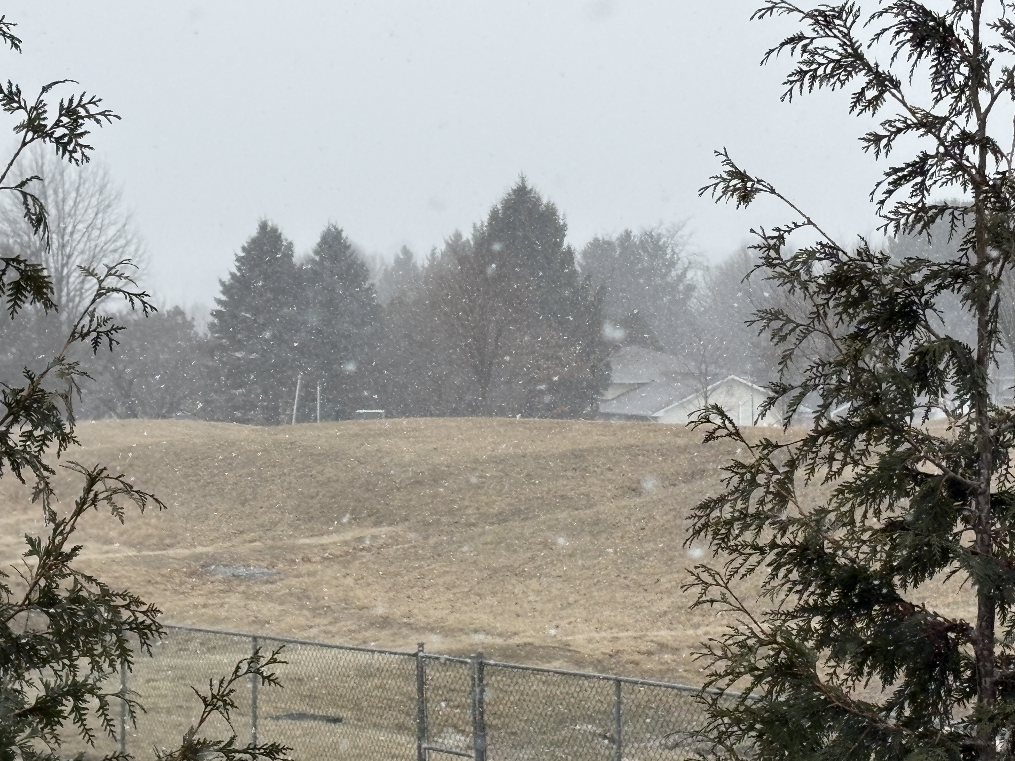
At the current rate of motion we should be into the snow by 12:30 - 1:00 PM. Flurries are coming down now not too far west of Allentown. -
OBS-Nowcast Noon Saturday 2/15-Noon Monday 2/17
Tatamy replied to wdrag's topic in New York City Metro
I am seeing a lot of that on traffic cams out in central PA. Visibility drops quickly as it moves in. This is happening in Reading now. -
OBS-Nowcast Noon Saturday 2/15-Noon Monday 2/17
Tatamy replied to wdrag's topic in New York City Metro
Steady snow, moderate in places is breaking out now across south central PA. This includes the Harrisburg and York areas. -
Discussion-OBS snow event sometime between 06z Thu 2/20-12z Fri 2/21?
Tatamy replied to wdrag's topic in New York City Metro
I hope you don’t own ocean front or bay front property.