-
Posts
2,570 -
Joined
-
Last visited
Content Type
Profiles
Blogs
Forums
American Weather
Media Demo
Store
Gallery
Everything posted by Tatamy
-
Partly cloudy here with 0.80” new.
- 993 replies
-
- 2
-

-
- metsfan vs snowman
- bomb
-
(and 2 more)
Tagged with:
-
The last time that I am aware of significant icing on LI Sound other than that noted above was in February 1979 in the week prior to PD 1. I was able to walk several hundred yards out onto the ice at Sunken Meadow at that time.
-
83 was a wild storm where I was out on the island on the north shore. We had several hours overnight of winds gusting to 40 - 65 mph on my weather station along with occasional mixing with graupel. I believe that there were gravity waves associated with that storm as well. As you noted it took forever for the snow shield to move in. When it did so it came in like a wall of white at 3:00 PM and we transitioned to heavy snow quickly.
- 993 replies
-
- 2
-

-
- metsfan vs snowman
- bomb
-
(and 2 more)
Tagged with:
-

Snowfall NYC subforum Jan 6 and OBS if needed
Tatamy replied to wdrag's topic in New York City Metro
1.25” total. Looks like we are done. -

Snowfall NYC subforum Jan 6 and OBS if needed
Tatamy replied to wdrag's topic in New York City Metro
Steady light snow with 0.25” new. -

Snowfall NYC subforum Jan 6 and OBS if needed
Tatamy replied to wdrag's topic in New York City Metro
I think you had some existing snow cover from during the week. The area near Gouldsboro / Moscow had a couple of inches on the 2nd from some lake effect streamers that moved through (If that’s your area) and it looks like you received a coating up there today. That area is up at about 1800 feet so that always helps. -

Snowfall NYC subforum Jan 6 and OBS if needed
Tatamy replied to wdrag's topic in New York City Metro
I checked the traffic cams up in the Stroudsburg / MPO area and it looks like nothing more than flurries currently. -

Snowfall NYC subforum Jan 6 and OBS if needed
Tatamy replied to wdrag's topic in New York City Metro
Steady light snow with visibility at about 3/4 mile. Visibility’s to my west in the Allentown area are about the same. 24F. Roads and sidewalks quickly covered. -

Snowfall NYC subforum Jan 6 and OBS if needed
Tatamy replied to wdrag's topic in New York City Metro
Flurries here. 25F -

Snowfall NYC subforum Jan 6 and OBS if needed
Tatamy replied to wdrag's topic in New York City Metro
Light snow is reaching the ground now almost to the west side of Allentown. -

Snowfall NYC subforum Jan 6 and OBS if needed
Tatamy replied to wdrag's topic in New York City Metro
Blooming radar is nice however much of what is seen over PA currently to the north and east of Harrisburg is virga. -

Snowfall NYC subforum Jan 6 and OBS if needed
Tatamy replied to wdrag's topic in New York City Metro
RGEM is also south. -

Snowfall NYC subforum Jan 6 and OBS if needed
Tatamy replied to wdrag's topic in New York City Metro
I am waiting for the 0z runs where the models tighten the screws on the weenies regarding this event. That seems to be the pattern for the past two nights…lol -

Snowfall NYC subforum Jan 6 and OBS if needed
Tatamy replied to wdrag's topic in New York City Metro
It’s done. Confluence FTW. -

January 3, 2025 Light Snow Event Observations
Tatamy replied to ChescoWx's topic in Philadelphia Region
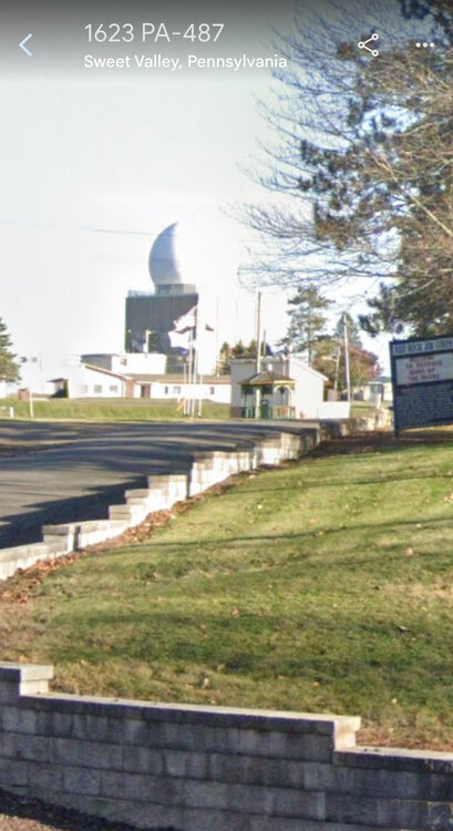
There is a radar site up in that area in Ricketts Glen State Park. It’s called the Benton FAA radar site and it’s on a mountain top north of Berwick. It’s a fascinating story about how this was once a military site and was subsequently transferred to the FAA. I knew nothing about it until one day I drove past it and thought it looked very much like a Doppler site (It’s not). It’s been upgraded and is now classified as a CARSR radar site and supposedly has weather data processing capabilities. -

January 3, 2025 Light Snow Event Observations
Tatamy replied to ChescoWx's topic in Philadelphia Region
-

January 3, 2025 Light Snow Event Observations
Tatamy replied to ChescoWx's topic in Philadelphia Region
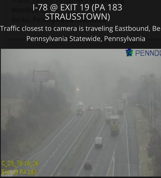
Light snow and flurries here. I checked out the Penndot cams along I78 and it’s coming down hard there west of Hamburg.

