Tatamy
-
Posts
2,583 -
Joined
-
Last visited
Content Type
Profiles
Blogs
Forums
American Weather
Media Demo
Store
Gallery
Everything posted by Tatamy
-

E PA/NJ/DE Summer 2026 Obs/Discussion
Tatamy replied to PhiEaglesfan712's topic in Philadelphia Region
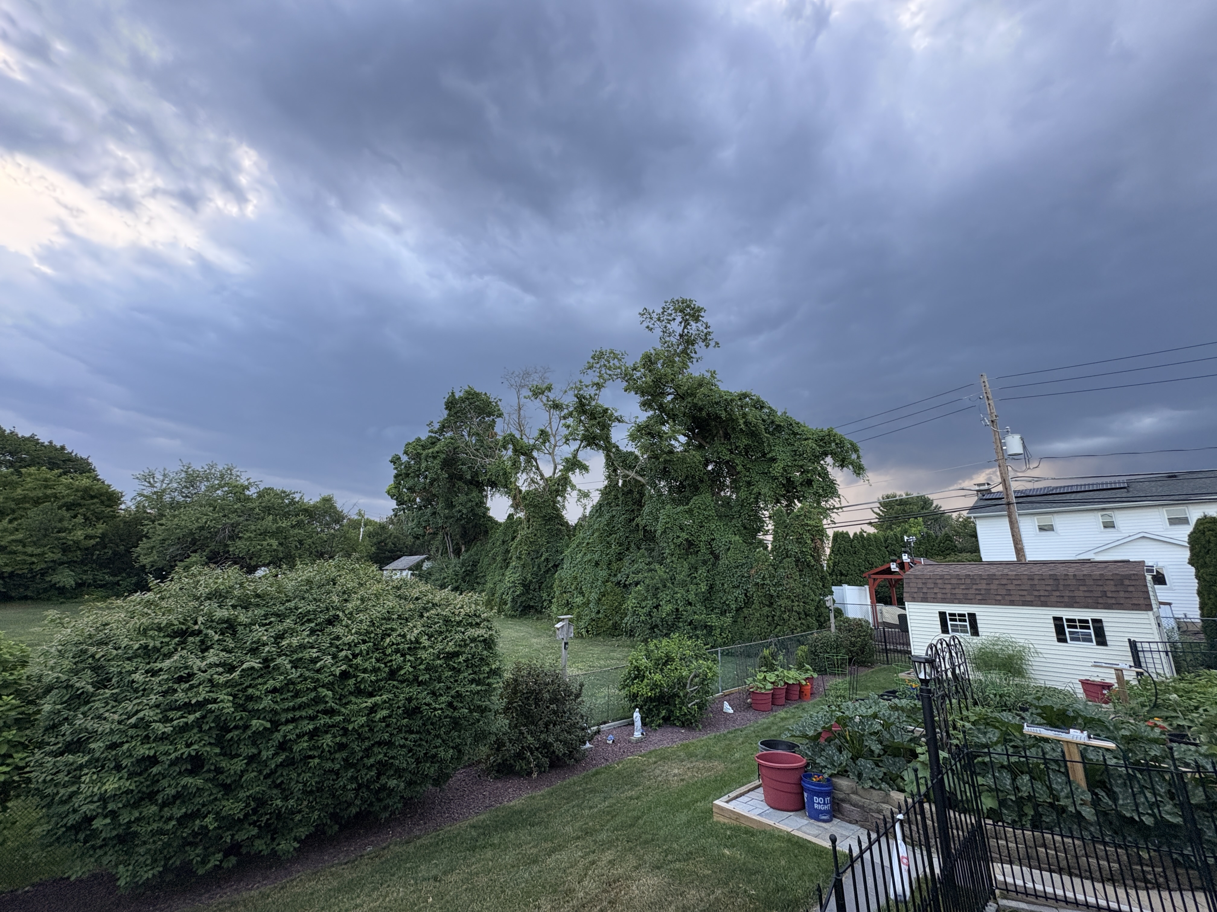
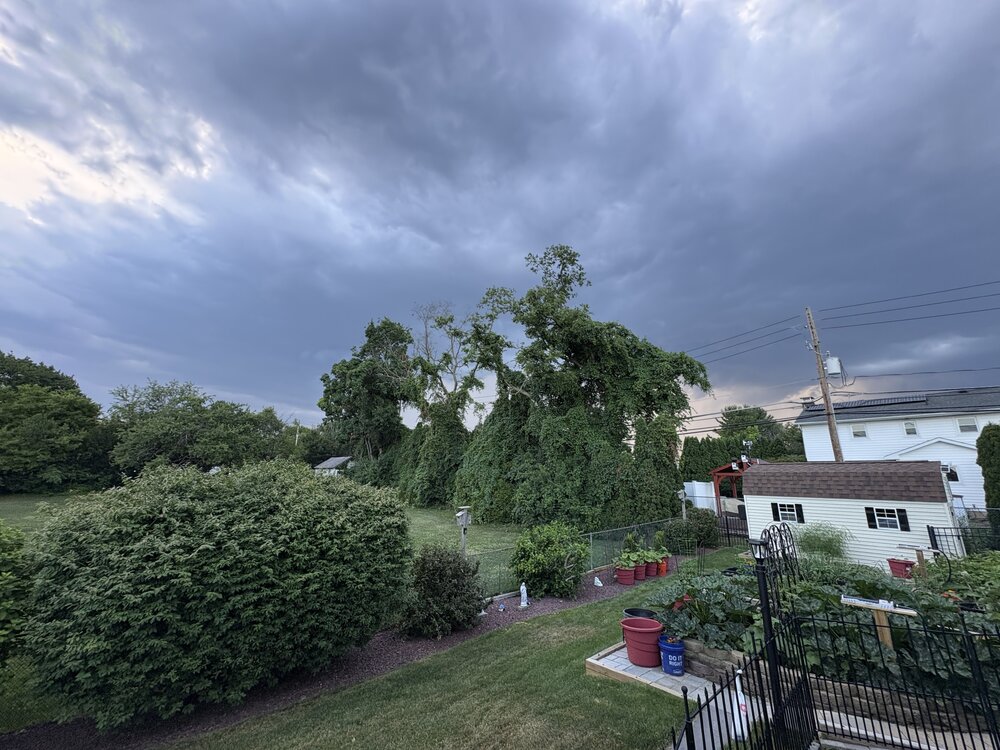
Big time lightning with that cell in NW Northampton Cty right now. 484 lightning strikes in the past hour on my Tempest from storms in my area. -
The severe warned cell south of Scranton is presently putting out a very impressive display of CTG lightning just to my north.
-
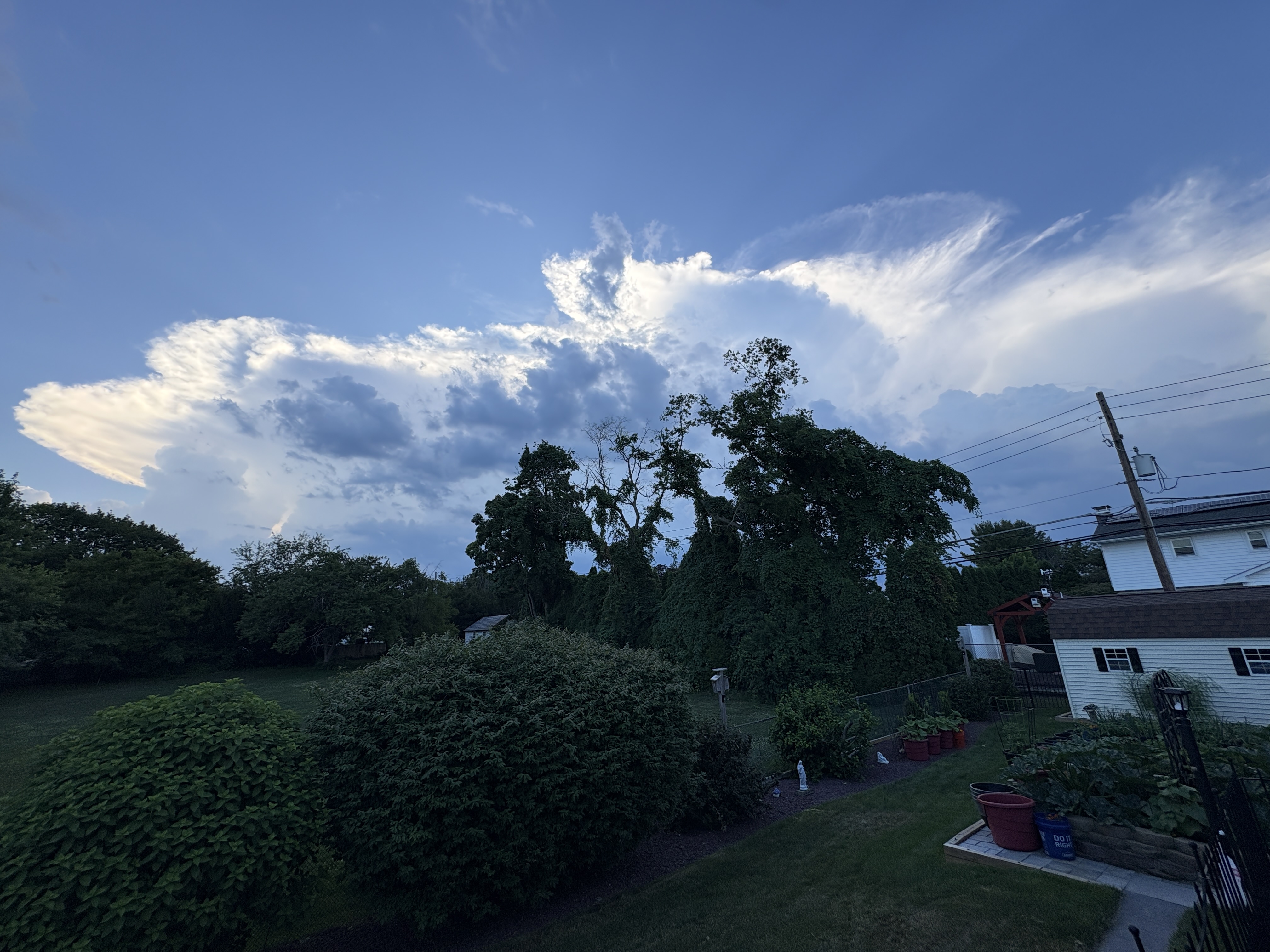
Lots of development going on not far to my west. No threatening skies currently.
-
You guys on the north shore of Suffolk Cty are looking good for some rain.
-
All done with this one. 0.25” of rain.
-
25 degree temperature drop with this storm. Very refreshing!
-
Wind gust to 28 mph with these storms.
-
Should have wind data in a few as cells are rolling in fast.
-
Decent lightning producer with 135 strikes in the past 30 minutes per my Tempest.
-
Fast moving line of storms approaching me from the NW. Does not look to be an overly impressive rain producer due to speed of forward motion.

-
There is a line of rapidly growing towering CU across eastern PA and NW NJ. These will be producing increased coverage of showers/storms shortly.
-
Just passed through here. Some wind and rain but nothing too out of the ordinary with some rumbles of thunder.
-
I experienced a very impressive storm in Brooklyn on the Belt Pkwy while driving earlier. Besides strong winds, lightning , and torrential rains I went through a small intense hail core near Ocean Pkwy. This was big hail with stones up to one inch in diameter. I was in stop and go traffic at the time so I could not take photos. I honestly thought my windshield would be taken out! Flooding from this storm produced flooding on the Belt that blocked two lanes near Cropsey Ave. Time of this was about 6:45 PM
-
E PA/NJ/DE Spring 2026 Obs/Discussion
Tatamy replied to PhiEaglesfan712's topic in Philadelphia Region
I saw exactly what you did. It’s not common and there is already reports on social media of power outages. It relates to where these downbursts occurred. -
E PA/NJ/DE Spring 2026 Obs/Discussion
Tatamy replied to PhiEaglesfan712's topic in Philadelphia Region
I am observing power flashes with this line just west and SW of me near Bethlehem. This is not lightning. -
Reached 82 here. Liking this May in March weather.
-
2/24 - 2/25 Clipper Obs (1 - 2" for many on forum)
Tatamy replied to Northof78's topic in New York City Metro
1/4” new -
Storm total here in Bethlehem Twp. is 5.3”
-
Now up to 4” new in Bethlehem Twp. 30/29
-
Measured 2” new in Bethlehem Twp. 30/29z
-
1” new. 30/29. Moderate snow.
-
Moderate snow - Visibility 1/2 mile. 32/31
-
They’re in a tough spot as the models have been all over the place. They use the NBM which is a weighted model containing most all of the other models outputs ( It’s like a mean of the other model projections). Because of how it works there is a delay in terms of it not recognizing the newest data. Incidentally your number seems reasonable to me.
-
I’m observing that as well. My temp has also dropped to 35.
-
I’m trying to that with that heavier band near Trenton that is struggling to move NW. Not working out too good.