Kmlwx
-
Posts
13,549 -
Joined
-
Last visited
Content Type
Profiles
Blogs
Forums
American Weather
Media Demo
Store
Gallery
Everything posted by Kmlwx
-
Brush fire reported in Frederick apparently. REALLY bad weather conditions for something like that.
-
For those who want to monitor - http://www.iadasos.org/IAD/index.html
-
I'm impressed by some of the velocities showing up (and how widespread they are) on the TDWRs as that line of showers comes off the mountains that @yoda mentioned. The gusts are getting louder and louder. Pretty impressive gusts for being after dark.
-
Just had a loud thud against an exterior wall at the house I'm at for dog sitting. Probably a big branch or something. Wind really roaring at times.
-
LWX radar is showing some good wind to the west as well. TDWRs as well - but at range.
-
The flight tracking sites are wild tonight - tons of planes doing weird holds and loops as weather impacts airport operations.
-
Wind picking up now in Annapolis area.
-
Dog sitting in Annapolis - pretty calm here but the sky looks ominous. A little wind but not much - few drops seen already.
-
69/59 with plenty of sun
-
Mesoscale Discussion 0428 NWS Storm Prediction Center Norman OK 1015 AM CDT Sat Apr 01 2023 Areas affected...eastern Ohio into western Pennsylvania and New York Concerning...Severe potential...Watch likely Valid 011515Z - 011745Z Probability of Watch Issuance...95 percent SUMMARY...Storms producing damaging winds appear increasingly likely today, beginning over eastern Ohio and moving quickly into parts of New York and Pennsylvania. DISCUSSION...Satellite imagery shows strong heating occurring over the region, with storms beginning to form ahead of the cold front/vort max. Despite low dewpoints, very steep deep-layer lapse rates, strong shear and substantial mixing of high winds aloft will likely yield wind gusts in excess of 50 kt over much of the area. As such, a watch is likely, and the outlook will feature a 30% severe wind probability. ..Jewell/Guyer.. 04/01/2023 ...Please see www.spc.noaa.gov for graphic product... ATTN...WFO...BGM...BUF...CTP...PBZ...CLE...
-
Mesoscale discussion for both a watch coming and an outlook upgrade to 30% (for wind) is up for PA. I think PA and then NE of us is the place to be for today. Not sure we can get excitement locally today. My dewpoint is starting to come down a bit.
-

2023 Mid-Atlantic Severe Wx Thread (General Discussion)
Kmlwx replied to Kmlwx's topic in Mid Atlantic
Site not letting me for size restrictions it seems like - it looks pretty robust, though. I looked using the COD site https://weather.cod.edu/forecast/ but Tropical Tidbits should also give a good view.- 2,785 replies
-
- 1
-

-
- severe
- thunderstorms
- (and 3 more)
-
2023 Mid-Atlantic Severe Wx Thread (General Discussion)
Kmlwx replied to Kmlwx's topic in Mid Atlantic
NAM nest really rakes a line through PA. Not much convectively for us. -
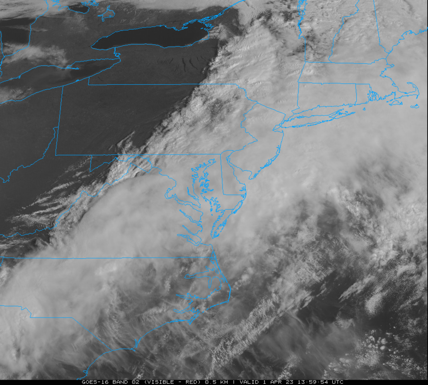
Looks like areas near Hagerstown, Frederick, Westminster and similar place sin N Central MD are getting breaks in the clouds already. Most of the models are still not super enthused about pumping dews up. I am at 60 degrees on the temp AND dew right now. If we can hold in the lower 60s for dews - perhaps we can sneak some storms in.
-
Let's see how much clearing we can realize.

-
Get that computer hooked up to a UPS! Even a smaller one will at least shield it better than a standard surge suppressor to the blips during high wind.
-
Loud thunder early this morning here in Colesville. Woke me up and I was surprised to see a decent radar signature. PWS picked up 7 nearby lightning strikes (first detection of the year!)
-
2023 Mid-Atlantic Severe Wx Thread (General Discussion)
Kmlwx replied to Kmlwx's topic in Mid Atlantic
Latest models are more tame on the wind, and keep any severe threat mainly to the east of most of us. @CAPE - you're in a good spot to see some rough weather today IMO. I think the vast majority of us are just too far west. Hopefully I can see some good gusts!- 2,785 replies
-
- 1
-
-
- severe
- thunderstorms
- (and 3 more)
-
2023 Mid-Atlantic Severe Wx Thread (General Discussion)
Kmlwx replied to Kmlwx's topic in Mid Atlantic
That is a massive run-over-run change. @high risk in the other thread rightfully mentioned he'd like to see 0z before giving it any backing (no pun intended). For the superstitious folks...seems like as soon as we decided the obs thread would be a better place this run came out- 2,785 replies
-
- 4
-
-

-
- severe
- thunderstorms
- (and 3 more)
-
Yeah....NAM nest has elevated supercell composite and sigtor parameters for the area tomorrow around 20z. Wow.
-
We do seem to have this come up a few times a year. I think the best way to view it is that nobody is like "F YEAH A TREE TOOK MY NEIGHBOR OUT" - but if mother nature is going to bring us exciting weather - we are going to track it out of fascination as weather enthusiasts. We have no control over whether it happens or not.
-
That's a good point - that Isabel damage was other-worldly.
-
Tend to have more widespread damage with unusual gust directions it seems - trees not "used to" it
-
2023 Mid-Atlantic Severe Wx Thread (General Discussion)
Kmlwx replied to Kmlwx's topic in Mid Atlantic
I've been split on where to post - I guess we can do the synoptic discussion in the obs thread since it's not technically "severe" and if a line DOES materialize we can do that in here. Tough with these early season events sometimes. I do like having the severe stuff under one "roof" because it's fun to go back and read in a single thread sometimes after an event (even years later)- 2,785 replies
-
- 2
-
-
- severe
- thunderstorms
- (and 3 more)
-
Will be curious to see if LWX goes with wind advisories or high wind warnings - seems if it's going to be dependent on a line they might just do wind advisories with the exception of the high elevations and then cover the more intense short-term wind threat with special weather statements or severe "thunderstorm" warnings.