All Activity
- Past hour
-
I've been paying attention to weather models since we could lol. I've never seen the RAP be correct so we're good there.
-

“Cory’s in NYC! Let’s HECS!” Feb. 22-24 Disco
msg112469 replied to TheSnowman's topic in New England
Walt Drag had a real passion for what he did! The write ups since that time for storms of this magnitude have been meh. -
Nudity
-
Well, I have been called into work tomorrow. Good times to be had!
-

2/22-23 "There's no way..." Storm Part 2
DDweatherman replied to Maestrobjwa's topic in Mid Atlantic
this is about my call to a T except a 5-8” swath somewhere in my area over to 81 from the IVT. -
The model outputs with lesser amounts are getting much bigger... .
-
Almost looks like it could rival 2015 if things work out.
-
Yeah I mentioned that in other thread, Could see steady period of snow this evening/tonight
-
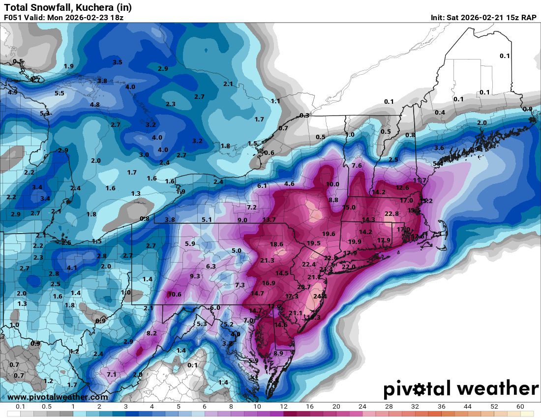
10-20” lollis to 24”
-
still snowing and stalled

-

Central PA Winter 25/26 Discussion and Obs
Blizzard of 93 replied to MAG5035's topic in Upstate New York/Pennsylvania
From @MillvilleWx a few minutes ago: 500mb progression on the GFS is actually similar to the HRRR/RAP/NAMNest/NAM in terms of when the height fields close off and their general placements through 12z Monday. The GFS doesn't have anything beyond 09z Monday unless you're at the coast and drifts quickly to the northeast to limit additional snowfall which other models carry. I think it's cutting that off too quickly, and it also doesn't have the leading edge further north into the NW zones and the north-central portion of the sub-forum as it migrates the heaviest further south towards Rt50 and SoMD. I feel the initial is better handled by the rest of guidance. ECMWF is the furthest east, weakest, and driest. Unless is scores a major coup there, it's underdoing things too much, even if it had the "right" idea of being a bit further east. I am forecasting now and I can tell you I will not be using much EC deterministic, but more its ensemble blends to help with the forecast. What you see for the official WPC forecast is mine, so that will be what I think. I'll share when its online. -
I think this is a pretty good map, except there will be a narrow IVT jackpot zone somewhere in our area
-
Updated with GEFS
-
2/22-23 "There's no way..." Storm Part 2
DDweatherman replied to Maestrobjwa's topic in Mid Atlantic
Second comment to say the gem’s evolution looked more like the cam’s a bit just a minute ago at 12z. It’s the best that model has looked at h5 to date. -
Are we? Couldn’t you see a scenario where the middle region gets left out? We start as rain storm explodes east and we get nothing
-
I don’t think so at short-range.
-
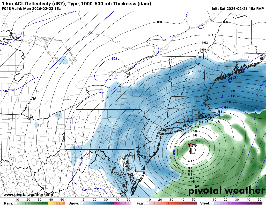
Omg the rap stalls south of li

-
Yep-and better for RVA
-
2/22-23 "There's no way..." Storm Part 2
DDweatherman replied to Maestrobjwa's topic in Mid Atlantic
Makes good sense. 6z eps was a move west with features and a good h5 look. -
The bummer on that view is that the low seems to follow the coast line. If only it stayed in tight right up into Long Island and Connecticut. It still nails this forum good, but it would help me up in the coal region where I'm riding the sharp cut-off/gradient.
-
Touch over 4, powdery snow here mostly.
-
what a weenie run .. advisory event on Wednesday followed by a warning level event Thursday / Friday and not lacking QPF either! Snow to ice back to snow lets do it
-
It sucks because tiny changes the wrong way have a big impact. But this is just noise looking at the comparison. Could easily jump back to a better look for the DC area at HH
-
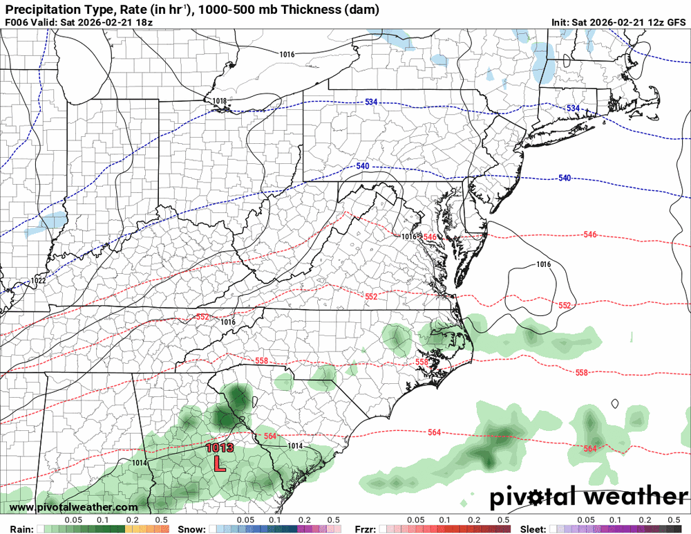
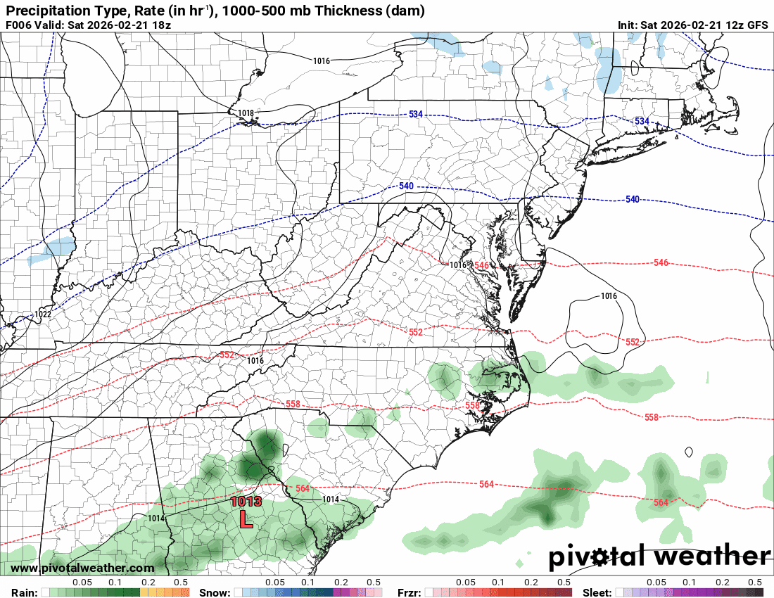
2/21 12z GEFS Total QPF Mean 2/22- 2/23-24 SNow 10:1
-

February 22-23 Storm Thread/OBS
Hurricane Agnes replied to Mikeymac5306's topic in Philadelphia Region
I guess we are so used to "Miller Bs" being visible in our region but it looks like it is happening further south. I generated a map for the MA region (the other was the Northeast one) and you can see the funky things going on (like it wanted to be a "Miller A" but ran aground instead).