All Activity
- Past hour
-
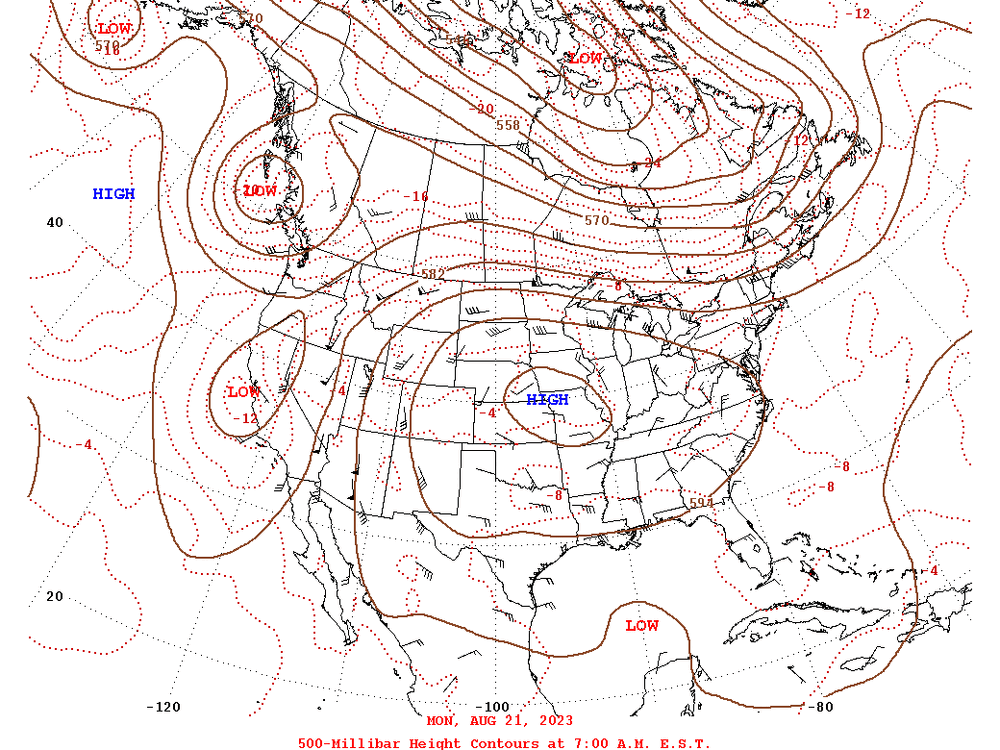
June 30 1982: Frost hits St. Louis County. Kulger Township falls to 27 degrees and Meadowlands bottoms out at 32. 1871: Extremely large hail falls in Meeker County. Some of the stones are 6 inches in circumference, breaking many windows on the north sides of houses. For Tuesday, June 30, 2026 1886 - The second destructive hurricane in nine days hit the Apalachicola-Tallahassee area. (David Ludlum) 1942 - The temperature at Portland, OR, hit 102 degrees, an all-time record for that location. (The Weather Channel) 1972 - The entire state of Pennsylvania was declared a disaster area as a result of the catastrophic flooding caused by Hurricane Agnes, which claimed 48 lives, and caused 2.1 billion dollars damage. (The Weather Channel) 1987 - Hot weather prevailed in the Pacific Northwest, with readings above 100 degrees reported as far north as southern British Columbia. Yakima, WA, reported a record high of 100 degrees, while temperatures near the Washington coast hovered near 60 degrees all day. Thunderstorms prevailed from southwest Texas to New England. Thunderstorm winds gusting to 100 mph at Gettysburg, PA, killed one person. High winds and large hail caused more than five million dollars damage to property and crops in Lancaster County, PA. (The National Weather Summary) (Storm Data) 1988 - Thunderstorms in eastern Kansas drenched Worden with 12.21 inches of rain, and a wall of water two to four feet deep swept through Lone Star, KS, flooding every home in the town. Up to ten inches of rain was reported southeast of Callaway, NE. Thunderstorm winds gusted to 75 mph at Winfield, KS. Seventeen cities in the north central and northeastern U.S. reported record low temperatures for the date, including Duluth, MN, with a reading of 36 degrees. (The National Weather Summary) (Storm Data) 1989 - Winnfield, LA, reported 22.52 inches of rain in three days, and more than thirty inches for the month, a record for June. Shreveport LA received a record 17.11 inches in June, with a total for the first six months of the year of 45.55 inches. Thunderstorms also helped produce record rainfall totals for the month of June of 13.12 inches at Birmingham AL, 14.66 inches at Oklahoma City, OK, 17.41 inches at Tallahassee FL, 9.97 inches at Lynchburg, VA, and more than 10.25 inches at Pittsburgh, PA. Pittsburgh had also experienced a record wet month of May. (The National Weather Summary) Observances: 30 Tue World Social Media Day 30 Tue International Asteroid Day 30 Tue National Meteor Watch Day 30 Tue International Day of Parliamentarism 30 Tue National Corvette Day 30 Tue Social Media Day 30 Tue National OOTD Day 30 Tue Clean Your Disposal Day
-
 I’ve been looking for an excuse to use the word “torrid” so I will for the next few days
 -
 That I know of, no... Would save me a lot of time if there was. Maybe some members from the NWS has (special) access to some evaluations?
 -
Temps inland already in the 70's. Cooler here in town with 50's, but the cloud deck just cleared, so temps should start rising quickly. We'll see if point cast of 90 here in town pans.
-
 ICON had it running into Sunday now... 94 to 98
 -

2026-2027 Super El Nino
MarcmmKU replied to Stormchaserchuck1's topic in Weather Forecasting and Discussion
The upcoming east coast heatwave and the recent western snowfalls is a canonical la nina feature. Yet another sign we are not yet being influenced by + enso. -
3+" of rain around the Two Harbors area yesterday. A general 2-4" in the wider area. More chances for stms mainly Wed then Fri into the weekend.
-
Woot, we got our Extreme Heat Wave Thursday/Friday
-
I saw that. NBM is heavily used by NWS per AFD omission. Is there a verification page or ?
-
I think the Heat Advisory is just for Wed
-
Seems to be cooking about 4-5 degrees too warm. And after my kids played "spray dads weather station with the hose" we are setting backyard records left and right. Can you even get a temp sensor anymore for a vantage vue? I've had the thing for 15+ years.
-
85 now will be interesting to see 11 number
-
Yes, definitely accurate for that particular strip of concrete
-
I was about to say last year we did that.
-
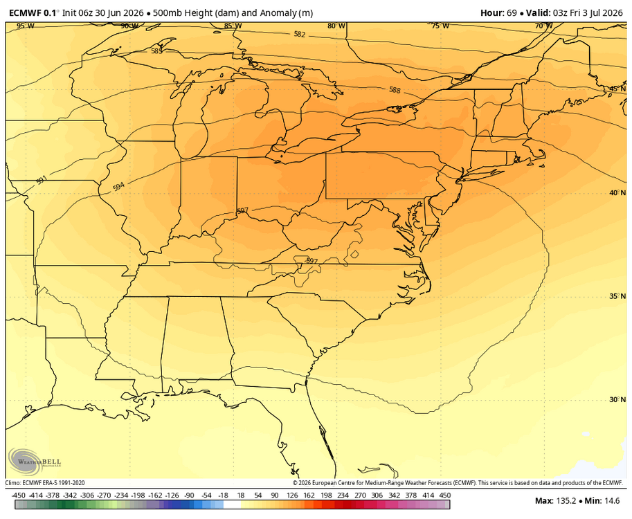
Hey Don, My point in thanking you for your post was agreeing with you about Chris Martz. Chris is both openly dismissing the contribution of AGW in these cases and is also dead wrong about the use of the term “heat dome”. But at the same time, I disagree with Jeff B. in calling this US heatwave one of the most “expansive”. It’s quite intense with record highs likely for a couple of days, but certainly not in a large portion of the country: This is the largest extent of the heat dome at H5 expected to produce record heat in and near the Mid-Atlantic states: Compare that to this significantly more expansive heatwave over the U.S.: 594 dm from E coast to Rockies and also N to MSP in addition to it peaking at ~600 vs the current one peaking at ~597: There are others, including the Dust Bowl years, especially July of 1936, that had some days of 100++ over a much larger portion of the U.S. In contrast, the current one is forecasted at its peak extent to have 100+ only mainly from E GA to the NYC/Hartford areas, which is not one of the most extensive in US history:

-
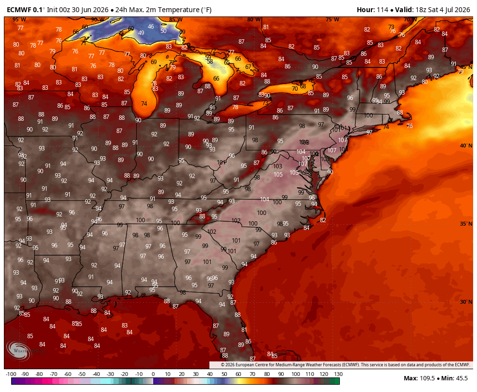
Although, likely skewed by courser models, the 07z NBM has a high (mean) of 104F for KBOS on Friday w/a std of 2F. Definitely entered the hawt'est time of the year. Won't escape (climatologically speaking) until late July. For KBOS, the mean high doesn't start getting colder until July 23rd. Was planning on staying outside for most of the day just west of Albany on Friday. May have to delay the trip by a day or two.
-
NWS has ticked the point click down from max temps 105-106 to 101-102 depending on where you are in wake county. Still extreme but not record shattering as originally forecast
-

Occasional Thoughts on Climate Change
donsutherland1 replied to donsutherland1's topic in Climate Change
"It's called 'summer'..."--CFACT policy analyst Meanwhile from Météo-France: The recent heatwave saw France record, on a national basis, three highest daily mean temperatures, four highest mean high temperatures, and four highest mean low temperatures on record. "Summer" doesn't describe this extraordinary climate change-driven heat. The reality from France: A warmer baseline climate makes hot patterns hotter. Key points from a recent World Weather Attribution rapid analysis: Across large parts of Western Europe, June is warming faster than any other month. In addition, daily maximum temperatures are warming faster than night time temperatures, though both are warming much faster than global warming. The hottest daily temperatures are warming at about triple the rate of global warming and night time temperatures at about twice the rate. Many capital cities are experiencing not only their hottest June 3-day period but also the hottest three-day period since 1950, according to the ERA5 dataset. However, due to global warming, these very high temperatures are now expected regularly during the summer months in many capitals. This means that a similar heatwave in June would have been about 3.5°C cooler during the day in 1976 and about 2°C cooler in 2003. The nighttime temperatures would have been about 2.4°C cooler in June 1976 and about 1.3°C cooler in June 2003. This June 2026 heatwave occurred under a circulation pattern broadly similar to historical analogues – Southerly Flow. However, a similar circulation pattern now produces significantly hotter temperatures than it did in the mid-20th century because the climate baseline has warmed. Key Points: 1) The heat was record-setting, not typical summer warmth 2) Human induced climate change contributed to the extreme nature of the heat 3) Interest-driven policy analysts are poor sources of weather/climate information; they seek to advance their employers' interests and some even resort to pushing misleading information to undermine public knowledge e.g., the flippant dismissal of the heat as "summer." -
It usually is not. I'm trying to change that here at UMD. I consider myself somewhat of a Meteorologist Metrologist myself. Though I'm always humbled by those NIST people.
-
https://weather.cod.edu/satrad/ looping that ... it may also evap a little when it poors over the ridge lines. I guess that times about 2 pm, so the damage may be done S-E of HFD-MHT for temp wrt to cloud troubles. Have to see on that too - Heat's like this... it's a tedious ferreting to find the way it's going to fail.
-
Trade Alonso...are you serious? I hope you're not. We just signed him for 5 years, biggest FA signing in 2 decades--that is not happening, man lol I mean do you know how dumb that would look? Not to mention the message it sends to future star FAs of his caliber we wanna go after? "Yeah we made a big 5-year commitment to you but now half a season in...bye-bye!" Nah dude this particular take is not it, lol Now Cowser and Mayo, Ward and possibly Rogers I can see.
-
 Going to end up with convective cloud debris today too and may even see convection begin to pop early afternoon...or maybe closer to mid-afternoon. Pretty healthy looking convective complex (at least from satellite presentation) in Quebec racing southeast
 -
Good catch! That might explain the Euro's being a little blunted. DP handling and timing is going to be factor-able.
-
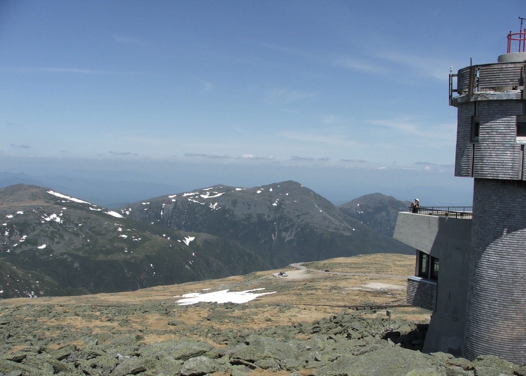
 Found a pic from that day. May 24, 2010

-
Today might be an interesting test as we head into this anomaly scenario. As an entrance/threshold cross ... the most guidance stall T rises to the 87-89 range, but there are a couple ...such as the GFS, have 90-92. The test may only mean how well the guidance 2-m products ( which I hate anyway - ) are going to handle. But it "might" also be some sort of non-Markovian suggestion of how well we are environmentally materializing the virtual modeling. interesting.. It's complex though. It could also be micro-physical processes that more or less alter responsiveness ... It matters if we're at the ceiling and scratching to lift.