All Activity
- Past hour
-
it was loaded af lol you've been focusing on the dark side
-
i'll let it go
-
I’ll have to wait for final data to verify, but it appears the high today in Minneapolis is 59. That would be the first sub 60 high in June since it was 58 on June 6th 2013. When it’s 70-75 on November 13th I’ll remember today.
-
this. did this 8 years ago, haven't paid an electric bill in 8 years, currently have a $1k credit with Eversource and it is peak generating season and the ACs still aren't installed yet
-
Getting clipped here. Looks like it’s hitting the Catoctin wall
-

E PA/NJ/DE Summer 2025 Obs/Discussion
JTA66 replied to Hurricane Agnes's topic in Philadelphia Region
Just saw my first lightning bug of the season. -
1.3”. Fully successful
- Today
-
Received my first rain shower... .15
-
It will disintegrate/pass south of me. Soil dry as a bone here again already.
-
Today's Highs PHL: 83 TEB: 81 EWR: 81 JFK: 79 New Brnswck: 79 NYC: 78 ACY: 78 ISP: 77 LGA: 77 TTN: 77 BLM: 74
-
Looks like Frederick about to finally get in on this.
-
I didn't say no severe... just that sounding you posted didn't show anything of the sort.
-
Nice. Family went there on vacation back in the late 80s/early 90s maybe? Lots on the water were selling for like $8K...my parents nearly picked one up while we were there. Oh well.
-
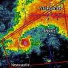
This is imby. I’m not home but wish I was. Look at that rainfall rate. Wow.
-
katabatic started following June Discobs 2025
-
Looks like there's a fire SW of KDIX?
-
The lowlands are getting into a flash flood situation over the next 45 minutes. It's really coming down hard and it's not moving. The local South River watershed is going to be dumping water down towards 450 over the next several hours. Swwwwww... it's ripping. I'm seeing an increase in lightning flashes and thunder.
-
"wats an eml, is that a bird?"
-
Both Gfs and Euro have periodic EML here starting late next week
-
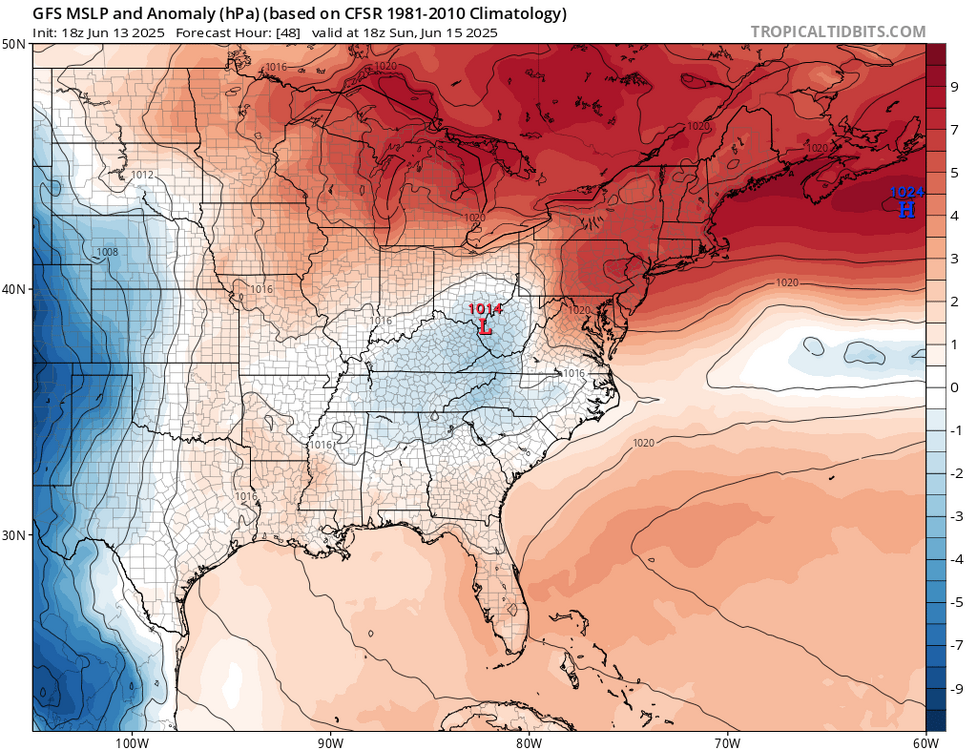
GFS and 3km NAM have mid 60s. Euro is 70 or so for the region. Pretty impressive wedge as advertised with a flow off the ocean so it could end up on the cool side.
-

E PA/NJ/DE Summer 2025 Obs/Discussion
BBasile replied to Hurricane Agnes's topic in Philadelphia Region
-
Anything EML-driven, rules go out the window. I would say not much to look at for sig severe, tho:/.
-
I haven’t had jack in June until the past 30 minutes. Gotta go to Stephens City for the good stuff.
-
maybe way west NYS VT
-
Tor’s Tiger ?
-
lash Flood Warning DCC001-MDC031-033-VAC013-059-510-610-140400- /O.NEW.KLWX.FF.W.0033.250614T0011Z-250614T0400Z/ /00000.0.ER.000000T0000Z.000000T0000Z.000000T0000Z.OO/ BULLETIN - EAS ACTIVATION REQUESTED Flash Flood Warning National Weather Service Baltimore MD/Washington DC 811 PM EDT Fri Jun 13 2025 The National Weather Service in Sterling Virginia has issued a * Flash Flood Warning for... District of Columbia... Southeastern Montgomery County in central Maryland... Northwestern Prince Georges County in central Maryland... Arlington County in northern Virginia... Northern Fairfax County in northern Virginia... The City of Alexandria in northern Virginia... The City of Falls Church in northern Virginia... * Until midnight EDT tonight. * At 811 PM EDT, Doppler radar indicated thunderstorms producing heavy rain across the warned area. Between 1 and 3 inches of rain have fallen. The expected rainfall rate is 1.5 to 3 inches in 1 hour. Additional rainfall amounts of 1 to 3 inches are possible in the warned area. Flash flooding is ongoing or expected t
- 1,013 replies
-
- severe
- thunderstorms
-
(and 2 more)
Tagged with:


