All Activity
- Past hour
-
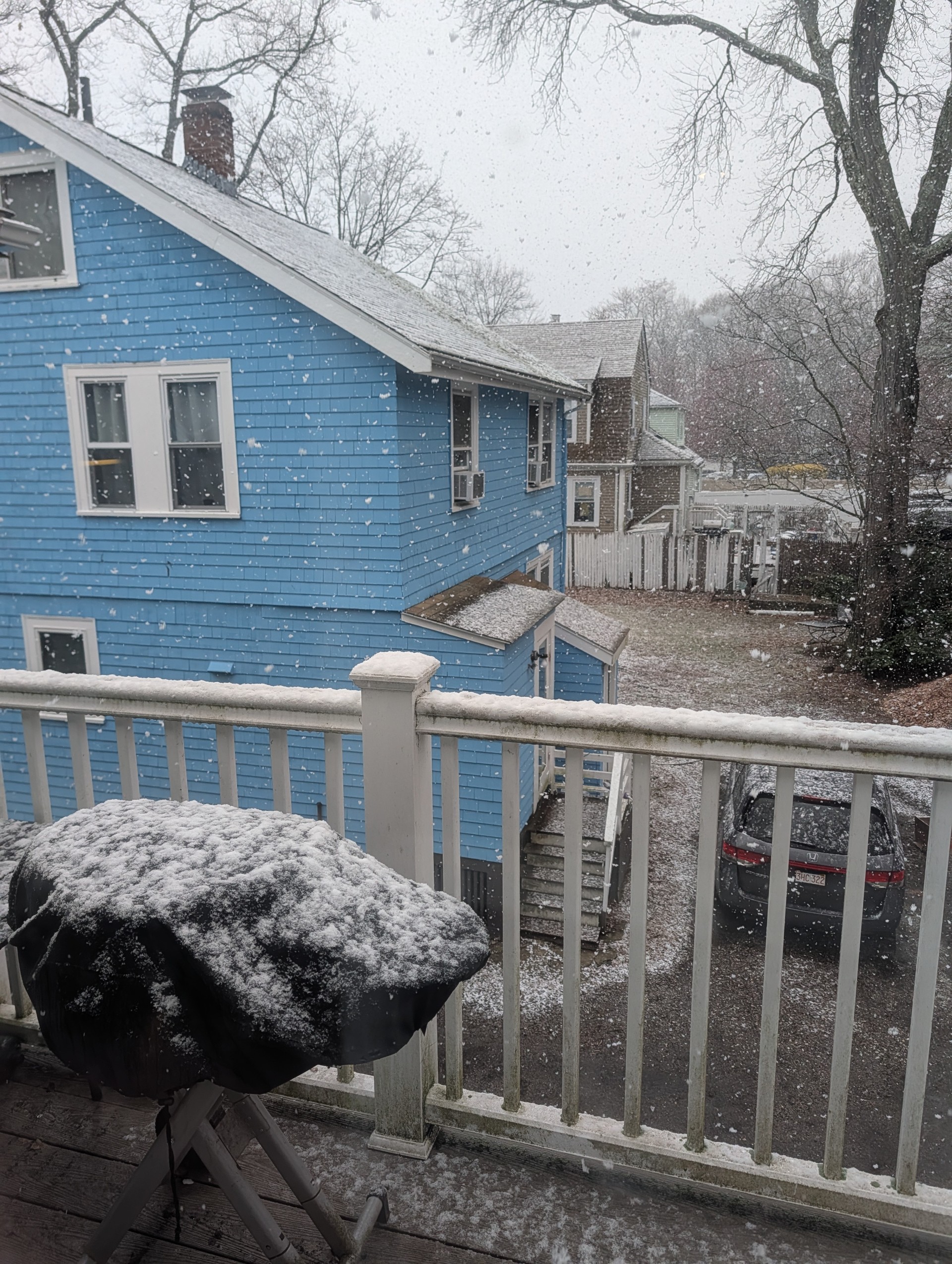
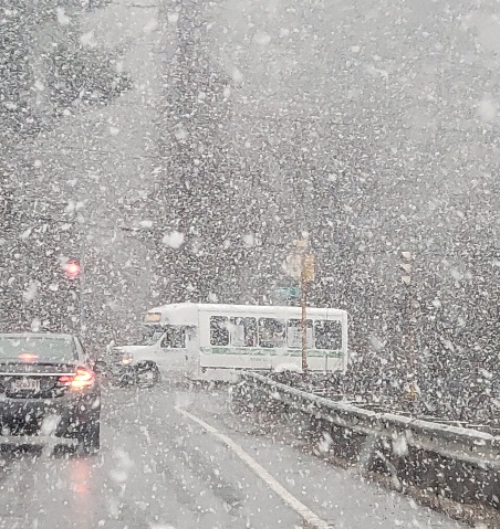
This is wild its been dumping the last hour!! still going
-
-
I fully get that 1877-8 is as strong as any El Niño on record based on Nino 3.4 as Eric Webb’s and other tables show. But it’s the H5 maps that were shocking to see since I had never seen any H5 maps before the late 1940s. Now after reading what you posted above, I realize this 1877-8 H5 is no more than the equivalent of a wild educated guess as all it is based on is surface data as that’s all the only data they have.
-
Pounding aggies.
-
euro temps aren't ever correct. I would go with mid 80's tops
-
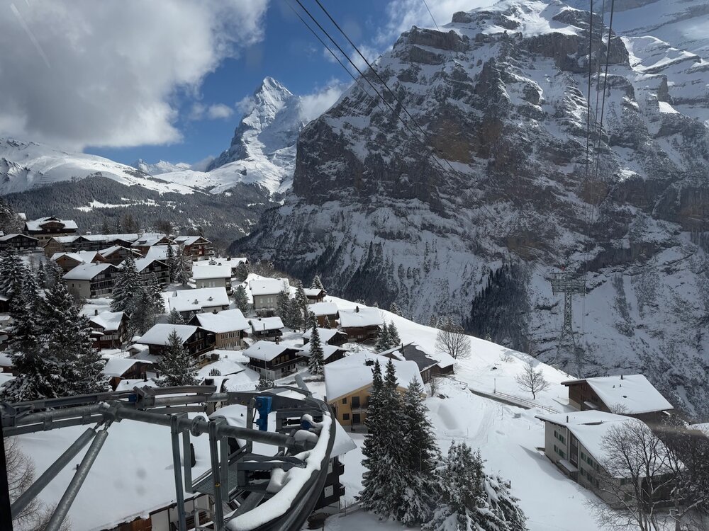
lol I was there last week as well, what an amazing place
-
By standard non-relative ONI convention, the strength index denotes 1.5 as the cut off for "strong" As I said, the modeling ( per CPC ) presently shows a cluster mean < than 1.5 (... granted, it's rising when the graph cuts off at the end of OND, only slowly). The problem is, RONI is a very necessary method for assessing how the ENSO modes might integrate/couple with the surrounding dispersion into the mid latitude pattern. It is less due to CC, for the purpose of discussion, in general. But it's also not absolute... it's just an assessment tool. Those ENSO modes back before ~20 years ago took place in enough of a different global environment that a more linear approach was a better predictor. This is why the Relative ONI was constructed, because as the climate change accelerates ( frankly ) all these indices are either going to get suss or are already so. Anyway, CPC model mean rises to +1.3 or +1.4 but unfortunately the outlook cuts off before we know if mid winter rises beyond 1.5 ( probably so, just based on the trajectory of the graphical mean). However, laboring to 1.5, doing so during the Relative ONI methodology arm of a very coherent CC acceleration, doesn't smack as strong or super in the end hemispheric coherence. I think there's some excitement seeking - like another crowd emergent motif. Sometimes it just hits at the right timing, and it's vastly over popularized. It may in fact go on to rise to 2.8 ...becoming something special, but I wanna know what are the mathematical/analytic reasons.
-
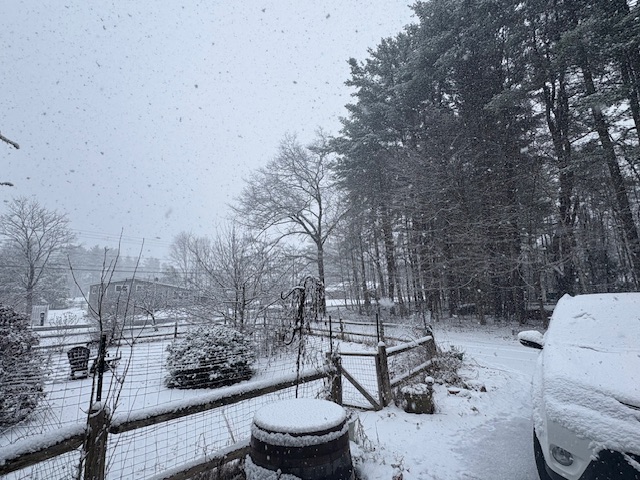
Snowing in Methuen..
-
snowy ride down the pike to get to work, car covered
-
Trying to enjoy this last snow until Nov ‘27
-
Lol, +SN now.
-
Driving to work over the Berkshires was horrible. Some towns have packed it in with the sand and salt. If only my car was powered by expletives!
-
29.8° SN Poundtown now
-
Yes, chances for Super El Nino are increasing. The last one was 15/16. If this holds, it could be a hot and dry summer in the south. Very concerning...
-
Now is when I appreciate living right next to the bay. Should moderate the temps down here a bit.
-
Not bad for 4/7..

-
Was snowing to beat the band in southborough. Coated everything.
-
1.5, even if not strong, is still notable. In the last 77 years, we've only had 10 events that cleared 1.5 on both the ONI and RONI (only 4 of these, in bold, cleared 2.0 on both - the threshold for super): 1957-58 1965-66 1972-73 1982-83 1986-88 (this was a double year el nino, which unlike the others, peaked in the summer of 1987) 1991-92 1997-98 2009-10 2015-16 2023-24
-
30.5° -SN Decent dendritic aggregates
-
Sheeh... I want to say it's 1/4S+ in this burst. Just pouring dendrites.
-
Not enjoying this 79725774645__97044C0A-00DE-458F-B690-F596D6828E3A.MOV
-
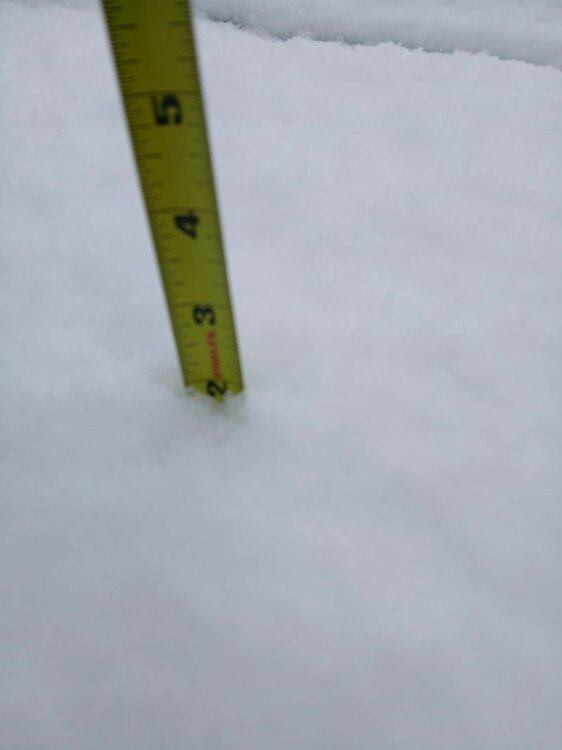
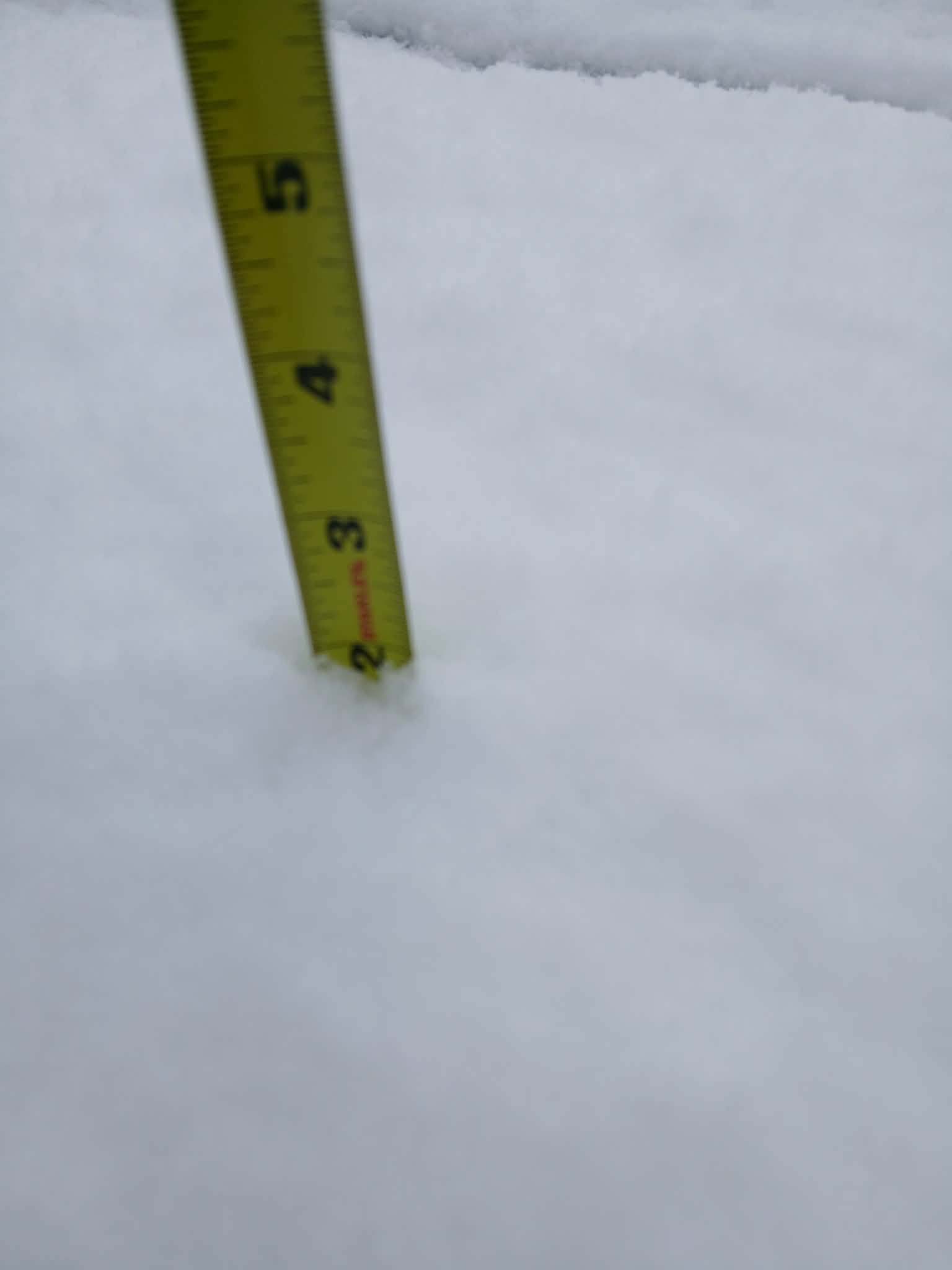
Another burst of moderate with graupel mixed in. Pavement coated up again. Probably finish with about 1.25” 31° Over performer.
-
The modeling looks like the key 3.4 region rises to just under +1.5 toward this next Xmas. Makes sense I suppose ... El Nino is Spanish for "Christ child" and is given to the name of the phenomenon for a reason; the canonical time of year for it to occur. Anyway, 1.5 is not super this or even very strong that. Where is this extremeness coming from ?
-
stopped for a bit but started back up.. we rip.. everything whitened up
-
Of course 5 minutes later it starts pouring cat paws and that gets a few white spots to show up.


.thumb.png.4150b06c63a21f61052e47a612bf1818.png)