All Activity
- Past hour
-
You can tell when the rain stopped and sun peeked out. We’ll see what happens under full sun.
-
 Overcast with light rain here as well. Looks like we get a reprieve from the heat today (or at least part of the day). 77 F
 -
That was interesting weather to play soccer in. Muggy as hell, wet as hell, sweaty as hell. Fun to play, uncomfortable as hell.
-
may end up mainly cloudy most of the day looking at the satellite.
-
We are hot to go baby.
-
What? Enjoy 95 today.
-
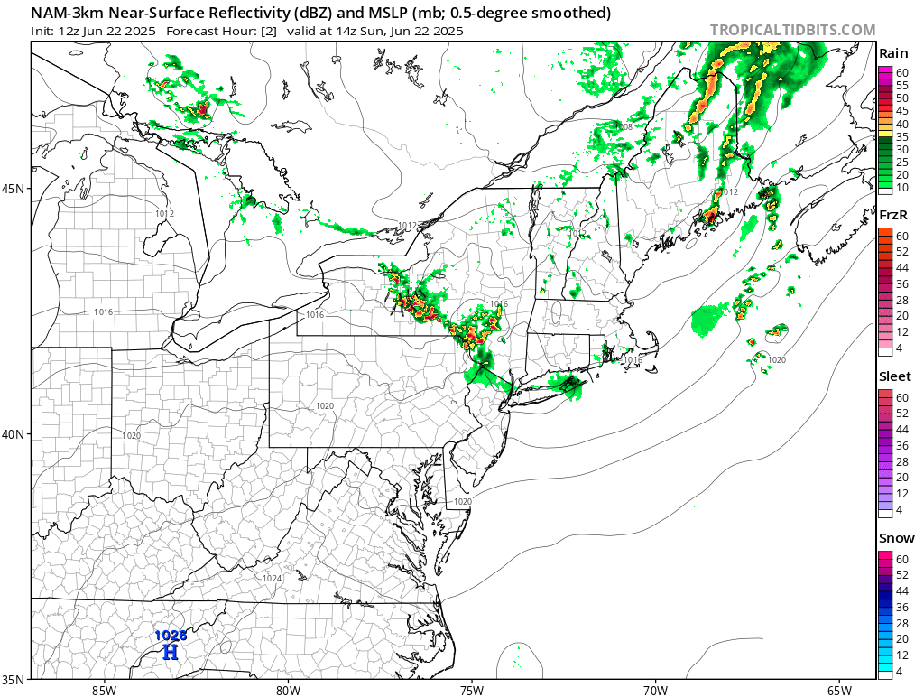
 Some thunder here with light rain. I see the clouds extend way to the north. Without much clearing today, obviously it's going to be a big underperformer as far as high temps. Maybe we won't even hit 90? Bust today, but of course the big heat is still on for the next few days.
 -
This is dumb now.
-
Thunder and light rain in East Brunswick
-
Guys the 12z NAMs couldn't even initialize the rain correctly. My goodness.
-

-
It’s pouring in NYC
-
Thought the same thing.
-
Just like we discussed the other day
-
Correct!
-
This sounds fun. * At 849 AM EDT, thunderstorms had produced heavy rain causing flash flooding to occur across the Central and Northern portions of Chenango County. Between 3 and 5 inches of rain have fallen. Major flash flooding is already occurring and being reported across Chenango County. Numerous roads and bridges are flooded, as well as numerous homes taking on water, especially around Norwich, Sherburne, and New Berlin. At least 10 people are stranded due to flood waters. Chenango County is in a State of Emergency due to the flooding. No unnecessary travel in Chenango County is allowed.
-
That MCS is trending a bit more South recently. Interesting to watch for sure.
-

E PA/NJ/DE Summer 2025 Obs/Discussion
JTA66 replied to Hurricane Agnes's topic in Philadelphia Region
Getting cloud debris from the storms north of us. With a little luck, maybe it will shave a degree or two off today’s forecasted high temps. Otherwise, already 80F at 10am with a DP of 71F. -
 wow I see another hot spot in SE Queens in the Rockaways, this matches my experience in SW Nassau!! in Far Rockaway people experience temperatures elevated by 11.6 degrees according to what this map reads!! that area south of Central Park experiences temperatures elevated by 13.2 degrees!! In Central Park it's a measly 7.1 degrees lol
 -
For reference: Washington, DC's most 100° or above temperatures in June is 2. That record was set in 1874 and tied in 1959. Washington, DC's most consecutive 100° or above temperatures in June is 2: June 29-30, 1959. Washington, DC's most recent 100° day in June occurred on June 22, 2024 when the temperature reached 100°. The date with the highest number of 100° readings is June 29th with 4; Second highest is June 9th with 3. The highest temperature on record for June is 104° from June 29, 2012.
-
wow excellent map, it shows the hottest spots in the entire city, whats going on at that location below Central Park thats deep violet lol. Do they have a map like this for Nassau County too, Ralph?
-
Just as I said that it shows one lightning bolt around Manhattan lol I'm referring to our local area of course. I know that in central NY it's been showing the lightning.
-
Yes, this is exactly what those two events were! The February 1993 event occurred on a weekend, I think a Sunday if I remember correctly and the one that was not predicted at all, in February 1991, occurred on a Friday if I remember that right.
-
For some reason Radarscope isn't picking up any of the lightning that is occuring. Weird.
-
I love a cold, moderate steady snow that falls all day long. I can stare out the window forever looking at that.