All Activity
- Past hour
-
 OK I'll give them that, but then the person showing this should probably not even show this at all. At least wait a week. This should be common sense, I'm sure the public comments have laugh emojis and condescending remarks since they are well aware of the copious amounts of rain SNE got overall. I can't tell you how many idiots out there claim this is govt manipulation and trying to control our water usage. This doesn't help.
 -

2026-2027 Super El Nino
LakePaste25 replied to Stormchaserchuck1's topic in Weather Forecasting and Discussion
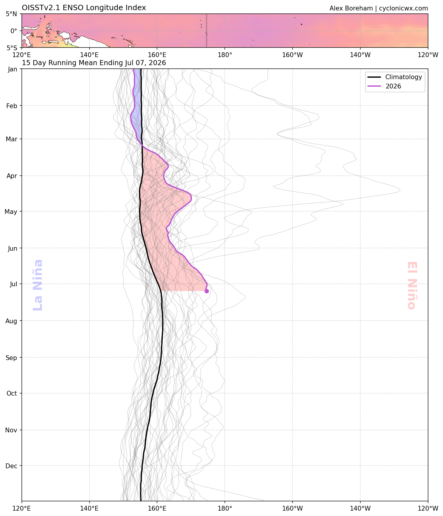
Enso longtidue index. It’s a fairly new index that’s used to calculate the longitude in the tropical pacific (between 5N and 5S) where it’s most supportive of deep tropical convection regardless of actual SSTA. Threshold for deep tropical convection is dynamic year-year as it incorporates mean tropics SST. https://agupubs.onlinelibrary.wiley.com/doi/full/10.1029/2018GL079203 There’s actually a page that calculates past events with it: https://ggweather.com/enso/eli.htm Looks like they assign the 97-98 event as the highest (note that the 220 peak is the same as 140W). -
I see Fredrick is already scoring and it's not even 1 yet lol. I wonder what time they make it into Glen Burnie later on. Super dry here. If we don't get some rain today it's going to get bad around here next week.
-
I thought you like it thick?
-
 I want a Met to incorporate the word “hellacious” when doing their forecast
 -
Hopefully it's us, i love when things are moist.
-
Alright just like that the cloud deck is breaking up. C'mon stir up that moisture!
-
It is soupy af out...thick
-
I saw talk of this earlier and this has got me thinking. Are we finally moving into a wetter pattern or is this yet another head fake?
-
Awesome! Thanks for letting me know. Will bookmark it now.
-
 I guess in their defense this is valid 8am Tuesday and there may not have been much river and stream response yet, but man...idk what they expect.
 -
NO change in drought where 3-6" of rain fell. Those maps should have been DOGE'd.
-

2026-2027 Super El Nino
40/70 Benchmark replied to Stormchaserchuck1's topic in Weather Forecasting and Discussion
What is ELI? -
Yeah looks more dumb than malintent.
-
 Surprised they didn't up the severity.
 -
I hope these meaningless sprinkles and overcast don't ruin our chances for showers later. Cloudy and 77/74
-
Jokes aside aren’t we staring down a likely east based strong to very strong El Niño? I take climatology in the fall but my base teleconnections knowledge say that it won’t snow much.
-
35 degree 5 inch rainstorm is gonna go so crazy.
-
Pretty good rainfall here. Mount Holly's forecast already verified in terms of rainfall totals. 1.33 from the slow moving morning storms, however, the highest probs were later in the day. Many folks were suprised by the heavy rains.
-
2026-2027 Super El Nino
LakePaste25 replied to Stormchaserchuck1's topic in Weather Forecasting and Discussion
ELI has already surpassed most of the historical events. i would expect this to go further east as that 30C isotherm moves east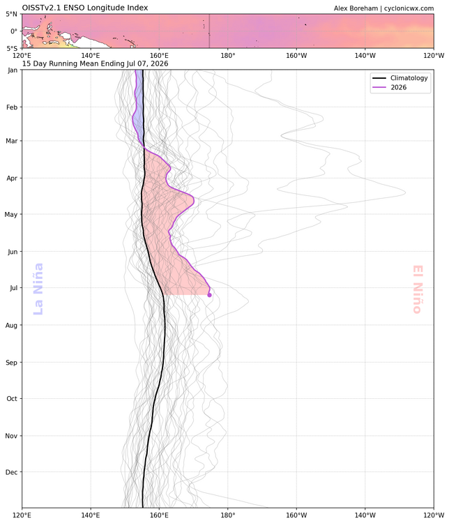
-

Mountain West Discussion
mayjawintastawm replied to mayjawintastawm's topic in Central/Western States
great- will keep fingers crossed for today. Just a trace here since 6/25. -
Yeah when I saw that graphic, I first thought something went wrong lol. I didn't think it was to hype something up or anything.
-
My get grazed by a little rain shortly
- Today
-
I do the same with thing with a stratus rain gauge for my ambient station even though it doesn't clog. Light or very heavy rains, the ambient has some issues registering.
-
You spelled Glen Burnie wrong lol.