All Activity
- Past hour
-
Walt! So good to hear from you. We miss you over on the NYC Metro forum. Hope all well with you. My opinion. Minor to moderate coastal flooding especially LI Sound and Jersey beaches. Any winds of note confined to more eastern sections NJ coast out to eastern LI especially. Same with rainfall more coastal than inland. This is based on the modeling now. Any ticks west this week and interior sections could be more affected by winds and rain. Something interesting to watch.
-
 The Data Centre Trends 2025 report is an essential resource for developers, operators, and stakeholders across the data centre industry. https://yousufaraza.com/google-ads/
 -
The Data Centre Trends 2025 report is an essential resource for developers, operators, and stakeholders across the data centre industry. https://yousufaraza.com/google-ads/
-
You’ll be eating those words.
-
.thumb.gif.f92b16c631a1d15d405ed77b33f0710d.gif)
Septorcher 2026 Discussion - Endless Summer
Torch Tiger replied to Damage In Tolland's topic in New England
weeks and weeks -
Yes, that is me! I've been bad lately logging in. My other gauge was getting old and my new stratus just got delivered on Friday, so I should be better now getting these in.
-

Mid-Long Range Discussion 2026
WinstonSalemArlington replied to BooneWX's topic in Southeastern States
-
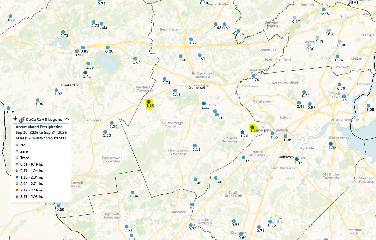
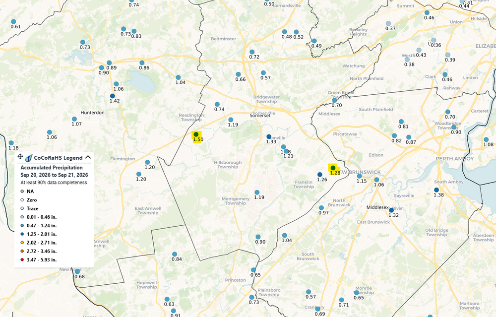
I see you. 1.28" here. Up to 3.57" for the month, and just over 20" since 7/1.
-
SPC has day 1 marginal risk for all of middle and east tn and half of west tn for 5% damaging winds had slight risk out yesterday for day 2 but got downgraded to marginal .
-
Other than the crops in the fields turning yellow it still looks like summer here. Lush green with no color change yet in the trees.
-

Septorcher 2026 Discussion - Endless Summer
moneypitmike replied to Damage In Tolland's topic in New England
4 days? Sounds like a week. -
0.55”
-

Septorcher 2026 Discussion - Endless Summer
ineedsnow replied to Damage In Tolland's topic in New England
A week away? -
Septorcher 2026 Discussion - Endless Summer
moneypitmike replied to Damage In Tolland's topic in New England
Boatyards are scrambling to get boats out of the harbor. Continuous back-and-forth of the trucks to the town wharf. At least people had been having them slowly being pulled out once we got to labor day. -
38 overnight with considerable clouds. Eagle Mine on the Yellow Dog was 25, Baraga Plains 26. Mid 50's will be the rule in N Marquette County today. Upper 60's for highs should return by the weekend. Locally, leaves are 40-50% color. Was in Marquette over the weekend and color was for the most part 10-15%. Peak in the higher terrain areas should be within 7-10 days. Comparing the change with pics from last September, we're a little behind, even with the dryness.
-

Septorcher 2026 Discussion - Endless Summer
WxWatcher007 replied to Damage In Tolland's topic in New England
It may be a tricky setup but it’s not almost a week away. Follow the ensembles and proceed with caution. - Today
-

Septorcher 2026 Discussion - Endless Summer
TauntonBlizzard2013 replied to Damage In Tolland's topic in New England
I definitely wouldn’t be sold on anything meaningful yet. Almost a week away and a tough setup. No different than in winter when people have been tracking a system for 12 days and when it fizzles everyone is surprised -

Septorcher 2026 Discussion - Endless Summer
Damage In Tolland replied to Damage In Tolland's topic in New England
Bend me back like Gumby -

2026-2027 Record-breaking El Nino
40/70 Benchmark replied to Stormchaserchuck1's topic in Weather Forecasting and Discussion
I suspect the PDO will average pretty near neutral this season..we'll see, which could leave us prone to some interludes of cross polar flow, between which we nape. -
Septorcher 2026 Discussion - Endless Summer
Torch Tiger replied to Damage In Tolland's topic in New England
Yeah, hopefully it misses -

2026-2027 Record-breaking El Nino
Typhoon Tip replied to Stormchaserchuck1's topic in Weather Forecasting and Discussion
Whether this is the case on January 15 ... who knows. But this is an apparent unique - perhaps historically so - state of affairs we are in heading into Autumn. When comparing other warm ENSOs that were anywhere near peers with this one, the PDO was in better agreement. Those being 1982-1983, 1997-1998 and 2015 very warm events. But, +.7 isn't 1.0 The offset .3 isn't exactly a trivial anticorrelation value. 30% of PDO/ENSOs didn't want to cooperate ( according to CDC). The qualitative difference being ... it is easier on intuition to see a weaker warm ENSO being more likely to anticorrelate - break downs in the machinery in weaker gradients..etc. However, very powerful ones would instinctively dominate the hemisphere because tall heat S abuts canonical seasonal lowering hgts N, and that's proficient coupling. That's the '82/'97/'15 events. This ENSO is (presumably) as powerful ( even in a RONI dimming consideration ... it's just too overwhelming? ) yet having this over-arcing -PDO is thus uncharted water ( pun hopefully annoying ... ) It's hard to say how that will impact the circulation 'scaffolding' of the hemisphere, should it persist. This latter bold being a key question. There is a modest pos correlation between the PDO and EPO in November, which strengthens significantly through the winter. This is intriguingly implicating for both warm and cool N/A. In a shortened planetary wave lengths, the -EPO dives the mean height anomaly distribution over the west. This correlates/teleconnects to ridging/+geopotential hgts 80W. But in the winter, when the wave lengths are necessarily long as a physical response to high seasonal velocity foot, the -EPO tends to mean the lower heights progress E fairly quickly. That's the reason -EPOs cause cold snaps. However, the STJ "should be" lurking over TX into the TV and lower MA; so what then should this mean if an ongoing -PDO/-EPO keeps sending in knuckle achers... This sort of 'unicorn' scenario has been discussed among some of us, already. It's not confident enough to predict... for one, we don't know if this -PDO/atmospheric circulation mod over the arc of the N. Pac will continue. You know, that big winter storm - the first of the two - that took place last winter is a reasonable implication/typology. That January one was a broad continental scale overrunning event really.. -
Septorcher 2026 Discussion - Endless Summer
40/70 Benchmark replied to Damage In Tolland's topic in New England
Typical manifestation of CC....it's often not readily apparent and rather insidious. -
buying prednisone: Axeryl - ordering prednisone
-

Septorcher 2026 Discussion - Endless Summer
CoastalWx replied to Damage In Tolland's topic in New England
Deep mind has a group of tracks bending west south of the islands too. -
2026-2027 Record-breaking El Nino
40/70 Benchmark replied to Stormchaserchuck1's topic in Weather Forecasting and Discussion
Yea, it's clear something still isn't quite clicking.