All Activity
- Past hour
-

July 2025 Discussion-OBS - seasonable summer variability
Dark Star replied to wdrag's topic in New York City Metro
"Organic Natter" is a synonym for ____________________________ -

July 2025 Obs/Disco ... possible historic month for heat
powderfreak replied to Typhoon Tip's topic in New England
Crazy. 6.89” this month here. The three nearest stations are 6-7”. 1.5 miles SW drops to 4.09” It’s crazy how a localized 2.5” footprint or two can skew summer rainfall. -

July 2025 Discussion-OBS - seasonable summer variability
anthonymm replied to wdrag's topic in New York City Metro
The death of nights in the 50s and 60s is really tragic. It can still happen (as we’re about to see), but it used to routinely drop below 70 at night. -

2025-2026 ENSO
TheClimateChanger replied to 40/70 Benchmark's topic in Weather Forecasting and Discussion
2012 saw a similar pattern to those years: -
just came off the Geitlandsjökull glacier in Iceland about an hour ago. Not quite as photogenic as banff but helped with the snow withdrawals
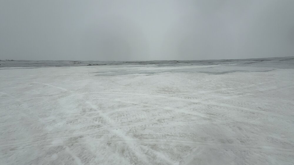
-

July 2025 Discussion-OBS - seasonable summer variability
SnoSki14 replied to wdrag's topic in New York City Metro
I disagree for NJ. This is a top 5 hottest already when you factor in the dews. Its been relentless. -
Yes, and a great AFD by Mount Holly. Of note, highest FF potential is near and NW of I 95, and the latest models are going with a faster convective progression. The greater flash flood threat should hold off until the daytime Thursday though. && .SHORT TERM /THURSDAY THROUGH FRIDAY/... Widespread showers and thunderstorms are forecast on Thursday, which will pose a risk of flash flooding. Much cooler, breezy, and showery conditions are expected to follow on Friday. The ridging to our southwest will continue to shift eastward through Thursday, with high pressure remaining offshore at the surface. Broad upper diffluence will remain in place aloft through Friday. Meanwhile, a slow moving cold front is expected to push gradually southward Thursday through Thursday night. This should result in some weak cyclogenesis in the Mid Atlantic region as the front works its way south, with the surface low passing offshore on Friday. There remains a threat of flash flooding for Thursday afternoon and evening, as widespread showers and thunderstorms are anticipated to develop within the vicinity of the slow moving frontal boundary. PoPs were remain near 70-80% for the entire area, peaking from north to south as the front moves gradually southward through Thursday night. As diurnal instability builds ahead of the front into the afternoon, PWats will increase into the 2.0-2.5 inch range. Mean layer flow will be roughly parallel to the frontal boundary, which could support training convection. The latest guidance has trended a bit faster with the frontal and convective progression, which could limit a more widespread flash flood potential. Cyclogensis nearby could also introduce some frontogenetic forcing into the equation as well. The synoptic aspects of this setup will probably lead to convection continuing into the overnight period as well. Exact details on the evolution of the convection and flash flood threat remain unclear, as the mesoscale details remain to be seen. Our current rainfall forecast ranges from around 1-2" across the area, but locally higher amounts of 3" or greater are certainly possible. The flash flood threat will ultimately depend on where the heaviest rain sets up, and how quickly convection is propagating. The higher threat for flash flooding will probably end up being in the usual locations near and northwest of I-95. WPC has maintained a Slight Risk of excessive rainfall leading to flash flooding for the entire area. A few isolated severe thunderstorms with damaging winds are possible as well, but the main threat will be the flash flooding potential. Remain alert for updates to the forecast regarding these threats.
-

2025 Atlantic Hurricane Season
BarryStantonGBP replied to BarryStantonGBP's topic in Tropical Headquarters
it's 2017 again -
July 2025 Discussion-OBS - seasonable summer variability
anthonymm replied to wdrag's topic in New York City Metro
Hottest period of summer yet to come (mid august). Triple digit heat, dews in the 70s likely. -
90/75 already, at 11:15am. It's going to be a rough one today, even for this heat miser...
-

July 2025 Obs/Disco ... possible historic month for heat
Ginx snewx replied to Typhoon Tip's topic in New England
Enjoy the COC its the only COC you got -

July 2025 Obs/Disco ... possible historic month for heat
Damage In Tolland replied to Typhoon Tip's topic in New England
Last mowing of season last week ? -
July 2025 Obs/Disco ... possible historic month for heat
Ginx snewx replied to Typhoon Tip's topic in New England
Thanks. Come on down enjoy the cool breeze, the refreshing water, the thongs. For those stuck in AC in city sprawl and stink you deserve a day here.
-

July 2025 Obs/Disco ... possible historic month for heat
CoastalWx replied to Typhoon Tip's topic in New England
Maybe a few sct ones south coast of SNE. -

July 2025 Obs/Disco ... possible historic month for heat
Modfan2 replied to Typhoon Tip's topic in New England
How do the storm chances look today? -
July 2025 Obs/Disco ... possible historic month for heat
CoastalWx replied to Typhoon Tip's topic in New England
Couldn’t be more wrong. -

July 2025 Obs/Disco ... possible historic month for heat
weatherwiz replied to Typhoon Tip's topic in New England
I think what's cool about grass is you can see a dogs pee pattern in it. -

July 2025 Obs/Disco ... possible historic month for heat
dendrite replied to Typhoon Tip's topic in New England
Happy for you two -

July 2025 Obs/Disco ... possible historic month for heat
40/70 Benchmark replied to Typhoon Tip's topic in New England
Yes...my grass has slowed dramtically. -
July 2025 Obs/Disco ... possible historic month for heat
dendrite replied to Typhoon Tip's topic in New England
I thought 93 looked fine considering the salt residue in the soils. -

July 2025 Discussion-OBS - seasonable summer variability
BlizzLuv replied to wdrag's topic in New York City Metro
Great day for my air conditioner to take a dive (again). Wonderful. -

Central PA Summer 2025
Mount Joy Snowman replied to Voyager's topic in Upstate New York/Pennsylvania
It certainly does. There could definitely be some select spots that see torrential slow-moving rains tomorrow. Hope it's not us. -

E PA/NJ/DE Summer 2025 Obs/Discussion
LVblizzard replied to Hurricane Agnes's topic in Philadelphia Region
If you believe the 12z NAM and a few other hi-res models, some places may not get out of the 60s on Friday. It just makes today’s heat and humidity feel so much worse knowing a long stretch of comfortable weather is right around the corner. -
July 2025 Obs/Disco ... possible historic month for heat
Damage In Tolland replied to Typhoon Tip's topic in New England
Now who was saying that a few days ago.. hmmm -