All Activity
- Past hour
-
Upper 80s here. Bring on the first flakes.
-
ROFL
-
New daily record high at SBN today. 86 breaks the old record of 84 set in 2008.
-
We don’t need to get political….take it to another thread.
-
Well it was being forecast..and the possibility was there, and it was hinted at that the moisture could get up in here…but you did poo poo it, but it came up in here in a big way.
-
But it did develop...lol ALTERNATE REALITY...just like your political hero...lol
-
Tomorrow through Wednesday will be warmer than normal days. Highs should reach the upper 60s and lower 70s. Temperatures could peak in the middle to perhaps upper 70s on Wednesday ahead of a cold front. Newark could make a run at 80°. Cooler weather will then arrive for Thursday and Friday. There is increasing potential that a piece of an air mass that set a record low temperatures in parts of Canada during the weekend could move into the region for next weekend. The arrival of this air mass could trigger a few showers on Friday or Friday night. As a result, the weekend could see the coldest temperatures so far this season. The ENSO Region 1+2 anomaly was +5.2°C and the Region 3.4 anomaly was +3.3°C for the week centered around October 7. For the past six weeks, the ENSO Region 1+2 anomaly has averaged +4.73°C and the ENSO Region 3.4 anomaly has averaged +3.03°C. ENSO Region 3.4 has set a new all-time record. The ongoing strong El Niño, will continue to strengthen through the mid-fall. The SOI was -17.60 today. The preliminary Arctic Oscillation (AO) was +0.903 today. Based on sensitivity analysis applied to the latest guidance, there is an implied near 56% probability that New York City will have a warmer than normal October (1991-2020 normal). October will likely finish with a mean temperature near 58.3° (0.4° above normal). Supplemental Information: The projected mean would be 1.4° above the 1981-2010 normal monthly value.
-
Extreme hot air over the ocean supercharges evaporation leading to cloud cover and moisture downstream. Both of those would = wet and cooler weather for the south. I just don’t see an extreme EN leading to hot and dry conditions.
-
Pretty terrible that we've strung together three weekends in a row with a crappy Sunday. Especially during peak fall outdoor activity season. At least the streak will be over this weekend with Friday being the unsettled day instead.
-
Next two systems decent rains for NNE. I don't want hear it! And you should see your first flakes!
-
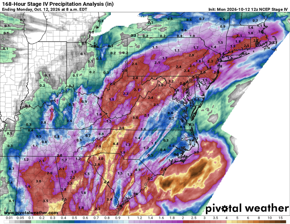
This one goes through the full event
-
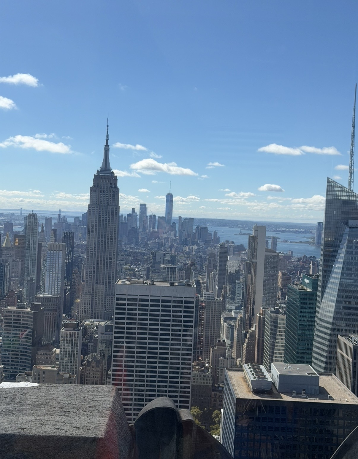
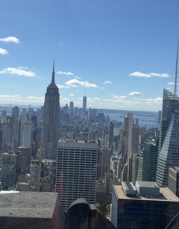
Couldn’t ask for a nicer day weather wise from top of the rock
-

E PA/NJ/DE Autumn 2026 Obs/Discussion
Psychguy replied to PhiEaglesfan712's topic in Philadelphia Region
Amazingly enough both Saturday and Sunday saw a high of 90 at MSP my old "stomping ground"... that place always amazed me! It could go from -30F in the winter to 100+ with beyond believable humidity in the summer. Guess the heat is migrating eastward. -
The 2020 Isaias produced the most tors from a TC that tracked along the E Coast and stayed E of the Appalachians -- 39. And DE has its longest-tracked tor on record at 36 mi. https://www.spc.noaa.gov/climo/reports/200803_rpts.html https://www.spc.noaa.gov/climo/reports/200804_rpts.html
-
 indian pharma network: IndiGet Rx - shop medicine online
 -
72 today, managed to sneak out and hit a few balls at the range. Taking a half day tomorrow to get in a golf round. Forecast is 77 and sunny.
-
Up to 75 in / out of the clouds but a nice day.
- Today
-
We love. We take.
-
Yes for sure. Come check out the NNE thread. All of the LES guys have moved to a discord but you’ll know when good setups are coming. My area is a bit far from the LES snow belt but when a good band sets up over the Tug I’m usually getting a light accumulation too. November has had some monster LES events and I think we have a good shot for a nice one this year.
-
http://mexgetrx.com/# pharmacy in mexico online
-
http://indigetrx.com/# prescription medication from india
-
A definite 'hole' over here, and much of the guidance had it. Still, an inch or so of rain is fine with me in October. Not like it hasn't rained for 3 straight weekends or something..
-
Good AFD from BTV… A cold front will sweep through the area Friday night sharply lowering temperatures 10 to 15 degrees from Friday evening to Saturday morning. Temperatures will likely dip below freezing for most if not all locations across the area with only those near Lake Champlain and immediately near the St. Lawrence River staying above freezing. As temperatures fall, snow levels during the day Saturday will also lower to 500-1000ft agl, with a transition to snow above 1500ft agl, and a rain, wet snow mix, in elevations between 1000- 1500ft agl. A few mixed in flurries cannot be ruled our even in the Champlain Valley, though temperatures will be marginal in the mid to upper 30s. Some snowliage appears likely with ensembles denoting nearly 100% chances for purely snowfall in the Adirondacks and Northeast Kingdom. Rain and snow showers will taper off Saturday evening as the system pulls away to the northeast. 850 mb temperatures Saturday night will be remarkably cold for this time of year in the -9 to -11C range Saturday night supporting temperatures in the 20s for most of the area, including the entire Champlain Valley. Pockets of teens will be possible in the coldest hollows of the Adirondacks and Northeast Kingdom as surface temperatures anomalies will be 10 degrees below normal. Temperatures will slowly moderate back towards seasonable normals to start next week.
-
mexico pharmacy: Mex Get Rx - top 10 online pharmacies in mexico
-

2026-2027 Record-breaking El Nino
GaWx replied to Stormchaserchuck1's topic in Weather Forecasting and Discussion
Following up on my last post (QBO): Based on my expectation of each of DJF being at +8+ QBO and also within a mature +QBO phase as opposed to near the start of it, here are the best QBO/ENSO analogs in order of quality taking into account the timing within the +QBO phase, the QBO amp, and the Nino strength: -2015-6 strongest analog: ~identical QBO timing, super-Nino -1982-3 super-Nino and similar QBO amp but QBO 3 month later start of + phase -1957-8 not quite super-Nino, QBO 2 month earlier start of + phase and weaker JF amp -1987-8 Nino only mod & 2nd year and QBO 3 month later start of + phase -2006-7 easily weakest of these analogs because only weak Nino and QBO 2 month earlier start of + phase along with only +1 Feb QBO