All Activity
- Past hour
-

2025-2026 ENSO
michsnowfreak replied to 40/70 Benchmark's topic in Weather Forecasting and Discussion
Im well aware of the mean temps in the warm stretch the last decade. I was wondering why you picked 27°, but i noticed in the 1948-1958 stretch the coldest winter was 26.9° lol. I look at every winter in great detail, and the past 10 years is no exception. We've had some cold months and arctic blasts, but not enough solid 3-month cold to get a big DJF temp departure (2024-25, 2021-22, & 2017-18 were slightly colder than avg). Fortunately, snowfall hasn't been anywhere NEAR a 10 year low. Much like snowfall in winter being the most important metric for me, max temps are the most important of summer. So regardless of what the summer mean temp ends up, Im more concerned with how many hot days we have vs mild muggy nights. Were pretty much made it past mid June without any hot muggy weather, so I consider that a win. Still doesn't mean im excited about the coming heatwave. Regarding magnitude of anomalies, summer departures will never come CLOSE to a winter departure in either extreme, so its no comparison. We had a temp departure of -14.5° in Feb 2015. Meanwhile, July 2011 (hottest on record) was +5.1°. -
Getting 100+ is no easy feat here. Any small changes can be the difference between that vs 95-98F readings. We'll have to see if models back off slightly.
-
Don’t you live in the woodyard?
-
Thankfully I lucked out today. No rain at work and very little at home.
-
Just Satan !!. You should have left the box closed. RIP Mittens .
-
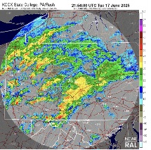
Moving east, new Tornado warning for Fulton County in PA.
-
I know you aint calling Vermonters hillbillies
-
Not sure if the 18z GFS is a head fake but it's quite a bit cooler than the last several inferno runs and there is much more of an ocean wind effect involved.
-
Could miss just east but hanging onto hope for a solid boomer.
-
good point about the 60s-80s but the 30s-50s period might be part of a cycle and when it repeats it will be even hotter....also much drier back then. The atmosphere is taking on the properties of water in terms of specific heat with how humid and wet it's become lol
-
Downpour got through his webbed hands. .09
-
100F Monday? .
-
GWDLT
-
Up to 0.51” Nice drencher
-
Climate variation. The cool down in the 60s 70s and 80s is almost certainly due to massive global aerosol production from industry and transportation. It was capping the effects of global warming.
-
Damp with in and off showers and clouds. A banner day indeed, as some wanted us to believe
-
but that doesn't explain that huge spike during the 30s, 40s and 50s and then we dipped during the 60s, 70s and 80s when the equipment was still properly sited.
-
Tornado warning just across MD line in Beford County PA
-
The volcano eruption will save us
-
Waste of a day here
-
If NWS is correct for Monday and Tuesday, we’d be flirting with record highs both days. They’re forecasting 94 both days, records are 95 and 96.
-
Made up for lost time .
-
So do you think we've permanently lost the 1996/2003/2016 level storms?
-
The leaves make a big difference, once full leaf-out occurs, Central Park diverges from the other area stations. Yes we're more moist, average dewpoints have been steadily rising. But the overgrowth at the park shows its effects every late spring when the canopy is fully out and complete.
-
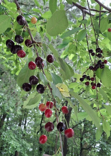
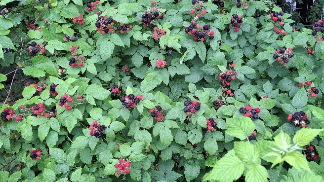
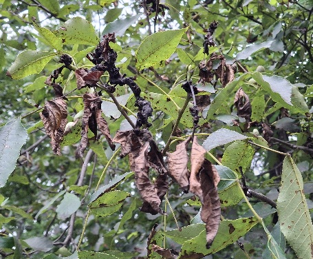
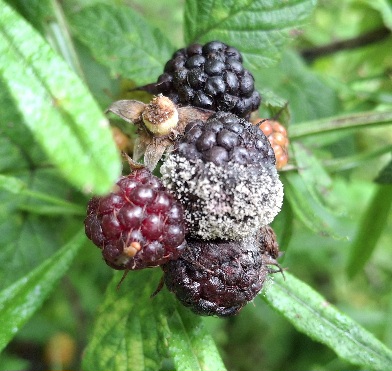
The good The Bad And the to be continued.


.thumb.jpg.6a4895b2a43f87359e4e7d04a6fa0d14.jpg)


