All Activity
- Past hour
-

Hurricane Erin: 150 MPH - 934mb - W @ 15
wthrmn654 replied to BarryStantonGBP's topic in Tropical Headquarters
Gfs is even closer now..... Euro ai still very consistent still. -
 Seems to happen every August that goes dry
 -
 Forecast keeps changing for tonight partly cloudy or mostly cloudy?
 -

Hurricane Erin: 150 MPH - 934mb - W @ 15
WxWatcher007 replied to BarryStantonGBP's topic in Tropical Headquarters
Islands continuing to get lashed by the outer bands of Erin -
We kind of do . May be too far NNE. Maybe nothing close to that scenario happens . Just looking for something that might not be thought of . Hoping for some kind of excitement and expecting Stein and calm
-
Hanging tough here at .5 for the month. I saw some clouds though.
-

Hurricane Erin: 150 MPH - 934mb - W @ 15
Wannabehippie replied to BarryStantonGBP's topic in Tropical Headquarters
8:00 PM AST Sat Aug 16 Location: 20.0°N 64.6°W Moving: W at 15 mph Min pressure: 934 mb Max sustained: 150 mph -
But we don’t have a strong HP to the north?
-

Hurricane Erin: 150 MPH - 934mb - W @ 15
Joshb32689 replied to BarryStantonGBP's topic in Tropical Headquarters
There she is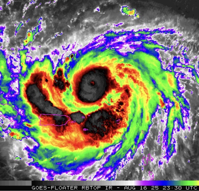
-
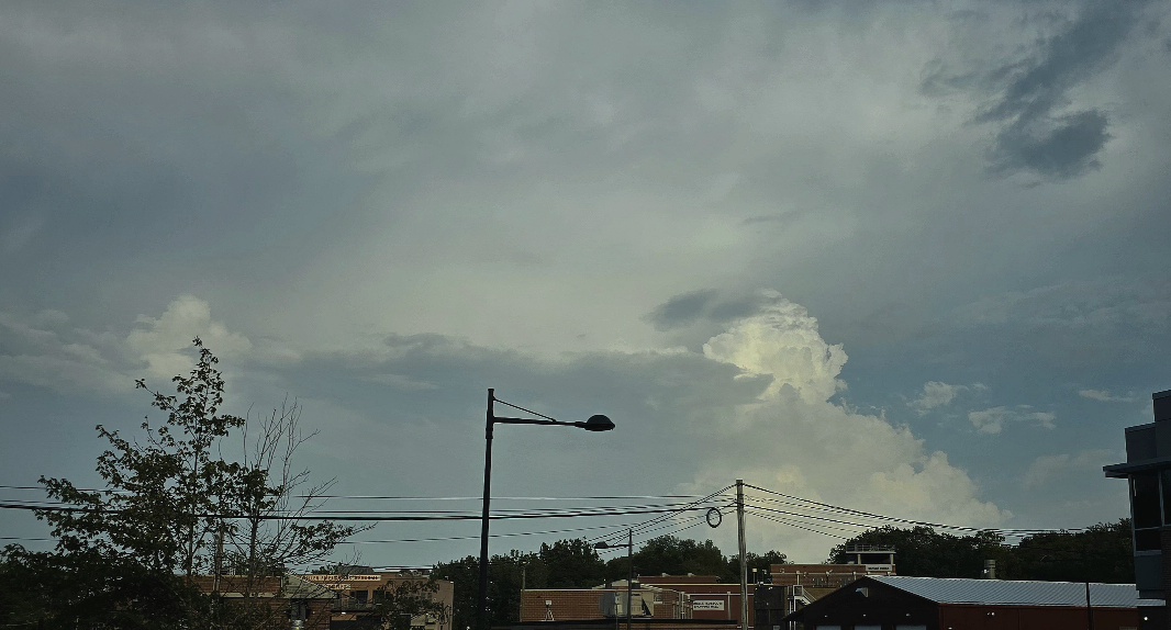
 Seen them on my drive to work this week on Franklin Lakes, NJ. Tonight's storm that skimmed the nj/ny line
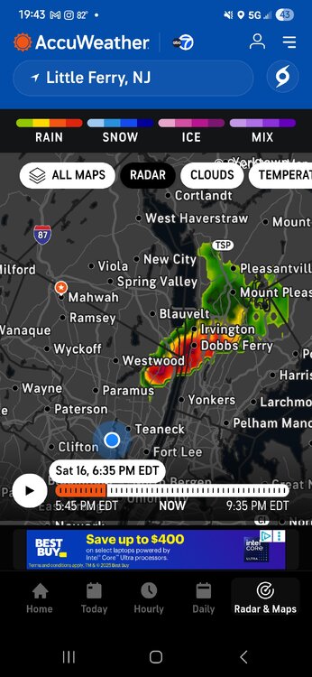

-
Picked up .08" from a small thundershower today to continue our wetness.
-

2025 Short Range Severe Weather Discussion
A-L-E-K replied to Chicago Storm's topic in Lakes/Ohio Valley
Apparently parents got rocked, mom said it looks like a bomb went off, waiting for cary#s to confirm -

Hurricane Erin: 150 MPH - 934mb - W @ 15
PSLwx replied to BarryStantonGBP's topic in Tropical Headquarters
Seems unusually small: Hurricane-force winds extend outward up to 30 miles (45 km) from the center... -- NHC 8pm advisory -
2025 Short Range Severe Weather Discussion
A-L-E-K replied to Chicago Storm's topic in Lakes/Ohio Valley
Landed in cedar rapids - Today
-

NEW DISTURBANCE: Central Tropical Atlantic (0/20)
BarryStantonGBP replied to BarryStantonGBP's topic in Tropical Headquarters
Quote from another forum Members 1.6k Weather Preferences:Long, hot and dry summers with lots of thunderstorms mixed in Posted 5 minutes ago Way too far out right now but the GFS has a Hurricane Fernand making multiple landfalls across the Caribbean/Florida in around a weeks time with potential major hurricane status. Atmospheric conditions here would be much more favourable for a US landfall than with Erin, still very far out and models still iffy on formation but one to watch closely. -
Yeah, went from foggy and zero wind at 6am to blasting north wind (gusts 60+) by noon under deep blue skies. One of the more incredible weather days we have seen in our life times. I remember walking up the beach into sand blasting gusts and having to hold on to my board for dear life.
- Yesterday
-
-
NEW DISTURBANCE: Central Tropical Atlantic (0/20)
BarryStantonGBP replied to BarryStantonGBP's topic in Tropical Headquarters
MH POSSIBLE? -
Yes.. lots of 60+ gusts that no one saw coming even up to day before
-
 At best the outer banks could see TS winds. Not impossible given its size too and westward lean.
 -
 has anyone else noticed a lot of yellow leaves? i cant tell if im tripping but i feel like im seeing a decent amount of yellow leaves for august. mainly between white plains and armonk, but can someone at least talk me off the ledge... summer can't be over yet
 -
Could it be Blackbeard's revenge? Every time I hear about Ocracoke, that's all I think about.
-

NEW DISTURBANCE: Central Tropical Atlantic (0/20)
GaWx replied to BarryStantonGBP's topic in Tropical Headquarters
Yes. I have no idea. -
Hurricane Erin: 150 MPH - 934mb - W @ 15
BarryStantonGBP replied to BarryStantonGBP's topic in Tropical Headquarters
I KNEW IT ERIN SHOULD HAVE GONE TO SPECSAVERS ...NOAA AND AIR FORCE HURRICANE HUNTER AIRCRAFT SUGGEST THAT ERIN IS UNDERGOING AN EYEWALL REPLACEMENT CYCLE... 8:00 PM AST Sat Aug 16 Location: 20.0°N 64.6°W Moving: W at 15 mph Min pressure: 934 mb Max sustained: 150 mph -
I remember it too-was not well forecast but we had 50-65mph gusts under clear skies-interacting with a high pressure off to the west if I remember correctly-alot of tree limbs down..