All Activity
- Past hour
-

Hurricane Erin: 130 MPH - 942mb - NW @ 12
Boston Bulldog replied to BarryStantonGBP's topic in Tropical Headquarters
Yeah the northerly shear is pretty apparent with the restricted outflow on the northern part of the circulation. Compare the extent of outflow on the north side to the south side, huge difference. -
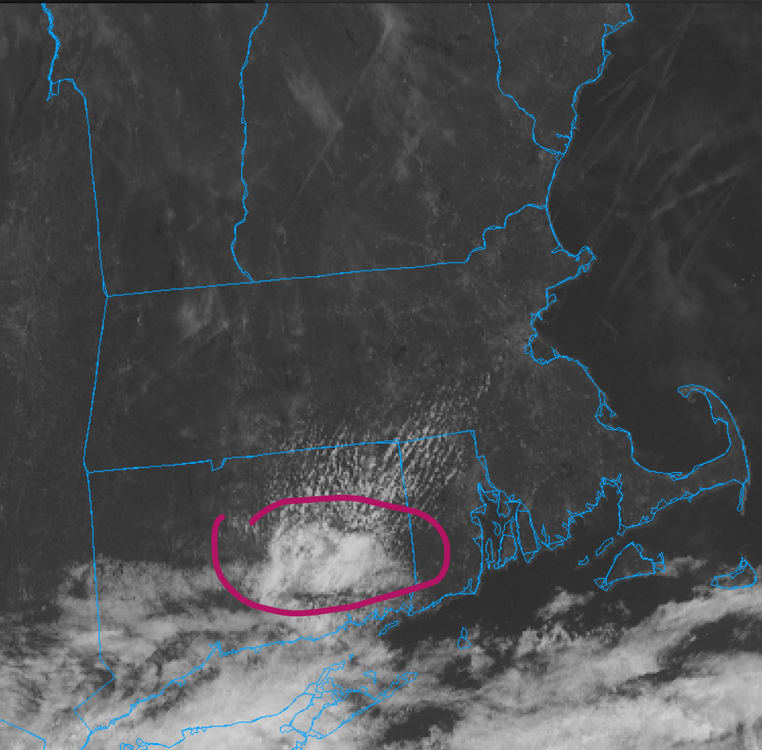
Nooners: 73 and cloudy. More muggy than I expected but nice out
-
about 24-36 hours of humid, tropical air. This upcoming weekend should feel very refreshing
-

Hurricane Erin: 130 MPH - 942mb - NW @ 12
olafminesaw replied to BarryStantonGBP's topic in Tropical Headquarters
IR appearance has degraded considerably in the last hour or two. Trying to complete an ERC and probably feeling more of the shear now. May gradually weaken until shear can abate -
 Huntington but I go to Northport Bay often. I’ve never seen a dolphin there before, that’s very cool
 -
 definitely appears that way. I'm sure we'll have a couple hot days in Sept but the days are shorter and the sun angle much lower
 -
 Where do you keep your boat? I was in Northport on Saturday and there were dolphins in the bay just outside the marina.
 -

Hurricane Erin: 130 MPH - 942mb - NW @ 12
eyewall replied to BarryStantonGBP's topic in Tropical Headquarters
It does in fact appear a more northward trajectory has resumed. -
I think the NAM has validity. Drawing some moisture northwards from Erin and you have alright dynamics and a warm front approaching aloft. Lift isn't too bad. There could be a swath of a nice steady rain...nothing too crazy, perfect for the ground actually to soak it in.
-
Summers back is broken and we are now sliding into the early fall weather pattern. It was a very hot stretch but it’s over and now we can enjoy normal temps
-
thats what i said to my daughter when we went to the gym at 430, was really nice
-
Im guessing the NAM is completely lost regarding Wed? Has a soaker CNE and parts of SNE.
-
70 here...
-
We have all winter for temps in the 60s.
-
Today blows
-
If your paving I-93 sure.
-
 Coast is really lucky that Erin is not directly going to hit it.
 -

2025 Atlantic Hurricane Season
Maestrobjwa replied to BarryStantonGBP's topic in Tropical Headquarters
What kind? Banana? -

Hurricane Erin: 130 MPH - 942mb - NW @ 12
NorthHillsWx replied to BarryStantonGBP's topic in Tropical Headquarters
Looks like Erin has made the turn to the north -
 Possibly all of the wildfire smoke limiting insolation?
 -
 We need this weather to stay, 68 degrees, cool, overcast, no humidity and a nice breeze!
 -
What a refreshing morning
-
 And off Carolina's
 -
Negative. gloom and clouds.
-
Occasional Thoughts on Climate Change
TheClimateChanger replied to donsutherland1's topic in Climate Change
If NCEI comes in at 0.77F above 1991-2020 mean, that would imply an August mean temperature of around 73.82F, or a 3-month summer average of 73.48F, which would tie 2016 & 2018 for 10th hottest on record nationally. A couple BIG caveats - the PRISM numbers are only through 8 PM EDT on Saturday... I suspect the monthly anomaly will be pushing 1F in the coming days. With that said, NCEI usually has LOWER anomalies than PRISM so it might be overstated. They seem to be closer when the heat is centered out west, and there's been a lot of heat in the southwest, so they might come in a little closer. The 10th place years have a pretty large lead over 12th place, so we're almost certainly in the top 12 (i.e., ahead of 2002) even allowing for some offset. Still a couple weeks of data left, so these can move around. It wouldn't take much to get us ahead of 2020 (7th place). Also, NCEI shows a cooler pattern to close out the month - albeit probably pretty close to the 1991-2020 mean, with warmer anomalies in the NW & SE. Prior to 2006, only 1934 & 1936 were hotter for the CONUS (using August's likely mean).


