All Activity
- Past hour
-

2026-2027 Record-breaking El Nino
qg_omega replied to Stormchaserchuck1's topic in Weather Forecasting and Discussion
Should be warmer -
 can i buy zithromax over the counter and zithromax capsules australia zithromax online http://www.pegasus7.net/navi008/navi.cgi?jump=27936&url=https://zpacksupply.com zithromax purchase onlineor https://www.0468wudi.com/home.php?mod=space&uid=325865 generic zithromax india [url=https://images.google.com.sg/url?q=https://zpacksupply.com]zithromax order online uk[/url] buy zithromax no prescriptionand [url=https://www.trendyxxx.com/user/enjapugsem/videos]where can i buy zithromax in canada[/url] zithromax price canada
-
You know, if Lamar doesn't resign with the Ravens that's fine. It might be time to tear it down to the studs and rebuild.
-

2026-2027 Record-breaking El Nino
40/70 Benchmark replied to Stormchaserchuck1's topic in Weather Forecasting and Discussion
95 faded west...it was more east-based, pretty much evenly distributed at peak. -
There’s more leaves left on trees now than before the Oct 2011 snowpocalypse. By a significant amount
-
2026-2027 Record-breaking El Nino
40/70 Benchmark replied to Stormchaserchuck1's topic in Weather Forecasting and Discussion
Don't agree with what? I said December wouldn't be as warm as 2015. -
sun is going down and so is the temp, 59/39 antique honda is back in the garage, here are the money shots: it's a touch darker than the original, there's some orange peel and some of the new-to-old-transitions are visible but all-in-all not bad for bondo


-
70/33 today. Is this what Colorado feels like?
-
Tomorrow will be unseasonably mild. Temperatures will top out in the upper 60s. A few locations will likely reach or exceed 70°. Afterward, it will turn slightly cooler with readings in the upper 50s for Monday and Tuesday before temperatures again warm into the middle and upper 60s for the remainder of the work week. Dry conditions will likely persist through next week. The ENSO Region 1+2 anomaly was +5.2°C and the Region 3.4 anomaly was +3.3°C for the week centered around October 7. For the past six weeks, the ENSO Region 1+2 anomaly has averaged +4.98°C and the ENSO Region 3.4 anomaly has averaged +3.12°C. ENSO Region 3.4 ties the all-time record set in the prior week. The ongoing strong El Niño, will continue to strengthen through the mid-fall. The SOI was +12.96 today. The preliminary Arctic Oscillation (AO) was +1.057 today. Based on sensitivity analysis applied to the latest guidance, there is an implied near 93% probability that New York City will have a warmer than normal October (1991-2020 normal). October will likely finish with a mean temperature near 59.3° (1.4° above normal). Supplemental Information: The projected mean would be 2.4° above the 1981-2010 normal monthly value.
-
23F to 65F today at MVL locally. That’s how you do an October day.
-
Only 38 here today, 28-66.
-
Temperature is temperature. Oddly satisfying way of explaining it, ha.
-

2026-2027 Record-breaking El Nino
jaxjagman replied to Stormchaserchuck1's topic in Weather Forecasting and Discussion
Thought the same thing,THE DMI tho was comparable to 1982 this year,but even so this NINO is kinda mind boggling with the PDO,the graph i posted above was the SSTS which clearly shows `95 was a west/central based NINO,unlike this year - Today
-

Yellow Medicine County, MN - Climate Fact or Climate Fiction?
ChescoWx replied to Cobalt's topic in Climate Change
Unsurprisingly just like Chester County PA the raw data shows weak warming, at about two-thirds of NCEI’s rate looking at annual average temperatures for Yellow Medicine County from 1895 through 2025. As seems to be a common approach NCEI’s adjustments push the early years down and the recent years up. Before about 2000, NCEI’s values sit mostly below the raw ones; since then the two lines nearly overlap.....sounds familiar! -

2026-2027 Record-breaking El Nino
snowman19 replied to Stormchaserchuck1's topic in Weather Forecasting and Discussion
-
DISCUSSION... KEY MESSAGE 1...One more night of frost potential will give way to a warming trend early this week. High pressure remains centered along the Mid Atlantic coast this afternoon but will drift southwestward tonight. Low-level flow will turn westerly allowing for less of a marine influence. At the same time, temperatures aloft will begin rising. The surface gradient is weak enough that forecast soundings indicate sharp decoupling. This will send lows into the 30s again, particularly in outlying and low lying areas. A Frost Advisory has been issued for the piedmont where the growing season remains active, as these areas will likely decouple best. The advisory is based on the forecast lows, although there is some potential with dew points starting in the 40s and the moderating airmass, we may ultimately end up with just a heavy dew even if temperatures drop to the mid 30s. Ridgetops meanwhile will stay in the 40s. Expect river valley fog to develop again, although some guidance suggests the fog may affect more areas than in previous nights.
-
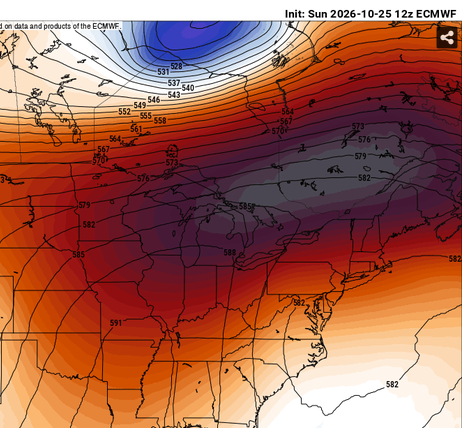
Ha! well I'm not part of that fake stuff. Temperature is temperature... I'm more focusing in on the unusual nature in which we're getting a sensible autumn out of a deep summer sky - to put it somewhat poetically. This morning the hgts are/were 582 dm ... 27 at the surface. It's been happening a lot since late summer, too. Maybe not that extreme but it's been unbalanced on the whole. If that's coincident with some discussion point than it's unintended.
-
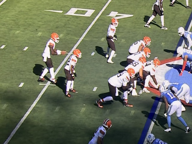
Best regular season then worst in the playoffs. They really should have had an outdoor stadium lol
-
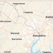
looks light straight up San Diego weather for the next 7 days at least (highs in the 70s, lows in the 50s). Damn. Gonna have to water this week. Why is there a frost advisory right outside the core urban areas (DC, Arlington, Alexandria) when the lows are only gonna be in the mid 40s?
-
You can say it’s been fake .. because it has
-
Terrible win it's really awful being 6-0
-

2026-2027 Record-breaking El Nino
mitchnick replied to Stormchaserchuck1's topic in Weather Forecasting and Discussion
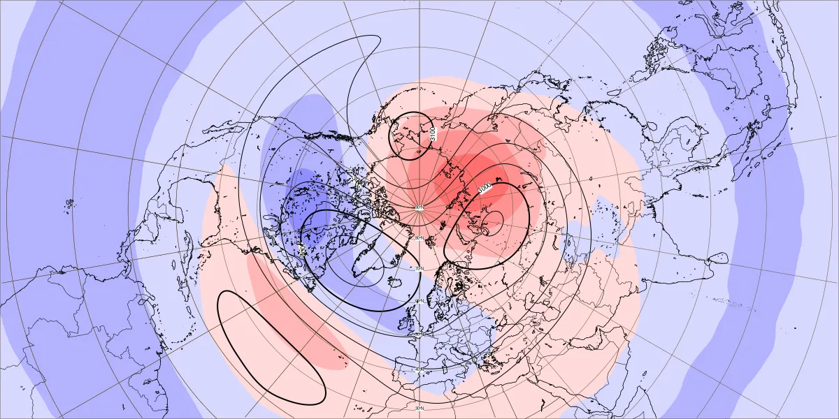
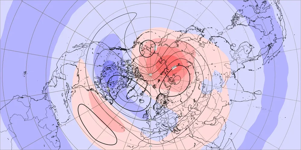
Lowest yet I believe. Maybe @GaWx or @Stormchaserchuck1 will correct me. Bottom map is 10mb.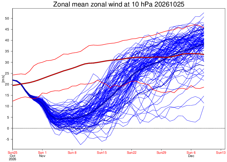
-
Too early/prerequisite challenged ... but indian summer like. The trick will be, 'does the anticyclone get under our latitude?' Since mid to late August actually, these powerhouse high pressure nodes have been moving either bodily overhead of E thru Ontario, placing us persistently in a highly uncoupled lower troposphere relative to mid level soundings. We've been getting frost if not freezes under 576 dm heights - anomalous combination of metrics. Very much so... We've had hyper proficient RAD events as of late, which is an interesting met phenomenon probably under the nose of most people's awareness. It feels like we're getting a normal autumn progression - though with modest positive biases, but it's kind of been lying? so to speak. 27 F under while this; is just another example in many
-
Is it me or is leaf change a bit delayed? Im seeing sugar maples with color but not much else.
-
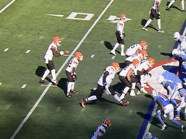
They got away with a false start on that last pass play.