All Activity
- Past hour
-

Augdewst 2026: Summer's Last Stand
weatherwiz replied to Prismshine Productions's topic in New England
Was reading up about downtown Springfield/Forest Park area...pretty crazy. Forest Park closed until further notice due to storm damage. Was just at the Forest Park Zoo last weekend for Bew at the Zoo. When I parked at the T station, saw the watch was out, and those storms in east-central NY, I knew Springfield would get crushed. Don't think it was bad on my end though...a good 10-15 minutes northeast of that area. -

Central PA Summer 2026 Discussion/Obs Thread
WmsptWx replied to Voyager's topic in Upstate New York/Pennsylvania
Holy shit, the lightning storm I just encountered in southern Huntingdon county. One of the most prolific lightning producers I've seen in some time. -
we have returned to previous days pattern after a one day storm break yesterday - showers already moving this way from central PA - nothing severe YET.
-

2026-2027 Record-breaking El Nino
GaWx replied to Stormchaserchuck1's topic in Weather Forecasting and Discussion
Yesterday’s NOAA weekly release for relative 3.4 came in at +1.8, which is the warmest early August on record back to 1982: 29JUL2026 3.2 2.1 1.5 0.2 05AUG2026 3.3 2.4 1.8 0.3 ———————— How does this compare to 1997? 06AUG1997 3.9 2.3 1.6 0.3 —————— How does this +1.8 for 3.4 compare to others for weeks centered near August 5th? 2026 +1.8 2023 +0.4 2015 +1.1 2012 +0.7 2009 +0.4 2006 +0.2 2004 +0.7 2002 +0.7 1997 +1.6 1994 +0.8 1993 +0.4 1991 +0.7 1990 +0.4 1987 +1.2 1986 +0.3 1982 +1.0 The earliest any of these reached +1.8 is August 20, 1997. -

Augdewst 2026: Summer's Last Stand
dendrite replied to Prismshine Productions's topic in New England
Min 59.5° Deep summer may be on its last legs…especially NNE. -
Some very heavy borderline severe boomers this morning here. Putting down an awfully nice boundary for later today
-

2026-2027 Record-breaking El Nino
mitchnick replied to Stormchaserchuck1's topic in Weather Forecasting and Discussion
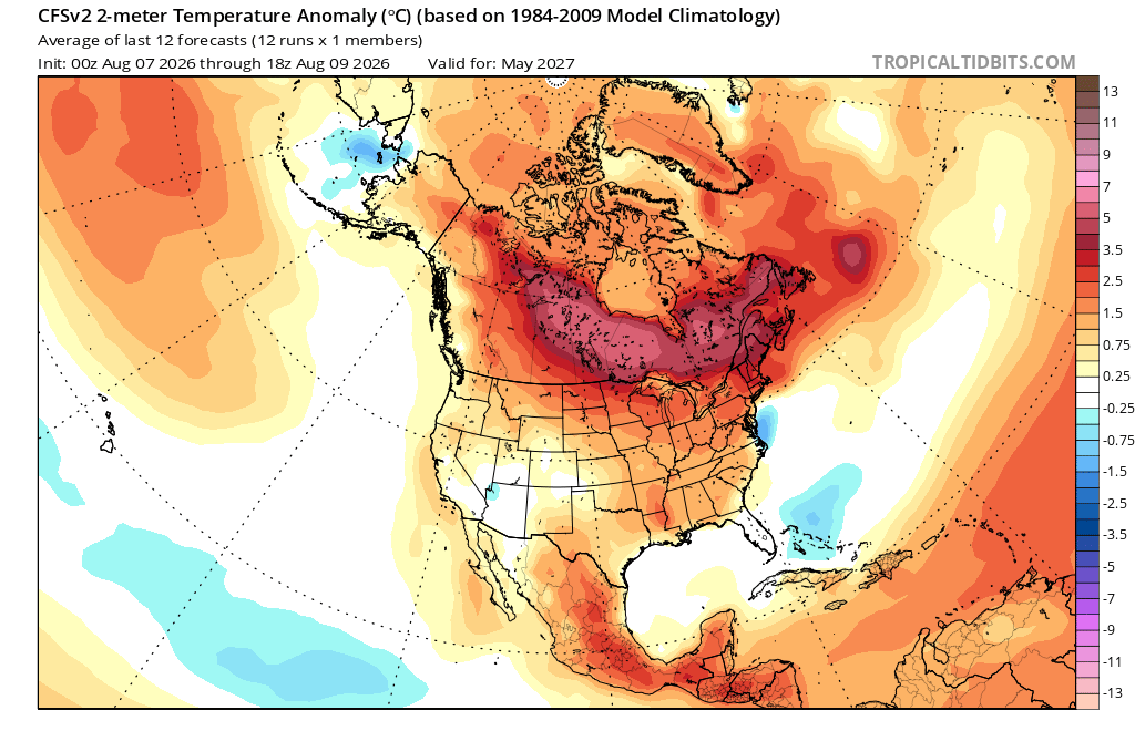
Looking at the Cfs2 past March, it warms up North America pretty fast getting you to this early forecast for May. So the relative extreme heat from this Niño does get distributed thru the conus/planet, but not until late spring into summer and beyond. Just a thought.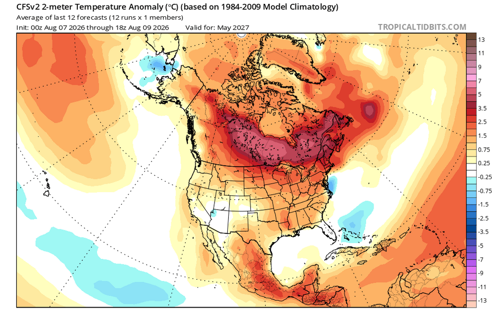
-
feels juiced this morning and hrrr selling development overhead later, let's ride
-
Not as much as the Midwest.... Yet.
-
Some stations in NJ just set their May monthly maximum high temperature when they reached 100°. In early July multiple stations were within a few degrees of their monthly max for July and all-time high. Last June Baiting Hollow on Eastern LI reached 103° far from any urbanization and may have been the highest all-time temperature for that area. So all stations regardless of how urbanized they have been experiencing record heat. The drier pattern from the 1940s to early 2000s produced monthly maxes in August and September which haven’t been matched. Probably related to the early extreme summer heat in recent years turning wetter as we move into August and September. You will notice we had all-time record October heat as recently at 2019 in the mid 90s. That was the result of a flash drought which developed later in the season. February 2018 was probably our most extreme monthly max of any month reaching 80° for the first time at the areas away from the cooler ocean influence. A summer extreme of that magnitude would give the usual warm spots a reading in the 110° to 112° range.
-
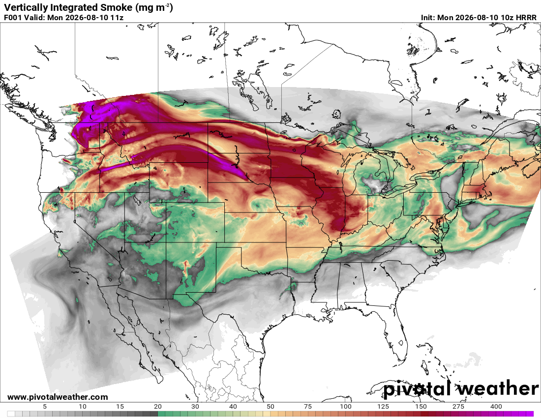
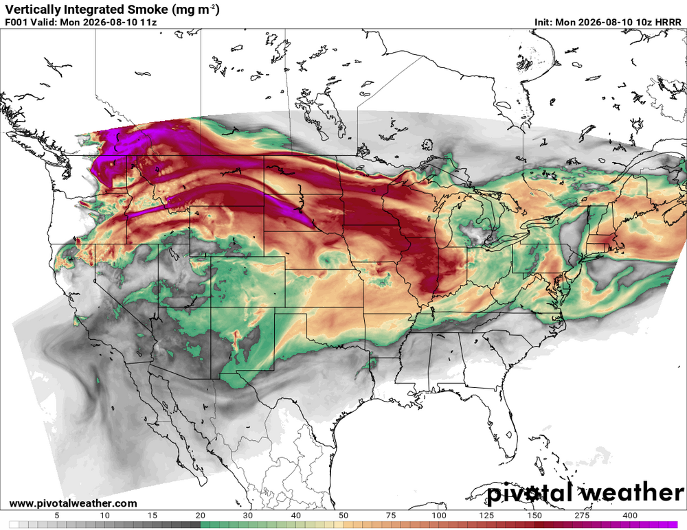
How much smoke are we dealing with? Sun looks pretty orange and sky is milky white.
- Today
-

Augdewst 2026: Summer's Last Stand
Damage In Tolland replied to Prismshine Productions's topic in New England
Lots of smoke this week. Wonder if it will affect temps at all like last time -
Likely get some shredded mess of an old tropical system.
-
Hope not
-
Heading to Hershey park today. Line of storms moving toward that area already.
-
 good online mexican pharmacy: Mexi Safe Rx - medstore online pharmacy
 -
Looks like a good day for storms for Frederick and Glen Burnie. Probably not a good day for storms anywhere else. Book it lol
-
Augdewst 2026: Summer's Last Stand
Damage In Tolland replied to Prismshine Productions's topic in New England
Will it rain again this month? -
I watch his as well.
-
2026-2027 Record-breaking El Nino
mitchnick replied to Stormchaserchuck1's topic in Weather Forecasting and Discussion
Glad you posted it and not me! Lol -

Augdewst 2026: Summer's Last Stand
Baroclinic Zone replied to Prismshine Productions's topic in New England
Dews dropped towards dusk and overnight Pleasant out now, low 60s with dews in low 60s. -
Not a drop of rain yesterday
-
https://mexisaferx.com/# mexican online pharmacies
-

2026-2027 Record-breaking El Nino
bluewave replied to Stormchaserchuck1's topic in Weather Forecasting and Discussion
Seasonal model forecasts for super El Niños usually have warmer temperatures across Canada and the Northern tier states into the Northeast. So in that general sense they usually end up correct. But they haven’t been correct with the magnitude of the warmth. Spots that wound up with +10 or more months have only been forecast to be something like +1 to 3 or maybe +2 to +4. Plus each of the 3 super El Niños since the late 90s had other variations in regard to where the ridge axis was located vs forecast. 1997-1998 was our only east based event of that era with a strong +PDO and no Maritime Continent forcing. But it started out cooler in the East during December and got progressively warmer during January and February. So it didn’t follow the general El Niño progression. It also had a strong -AO in January that linked up with the Southeast ridge even with such a strong STJ. The models had the stock El Niño composite for December 2015 as late as November 2023 with warmer north and cooler south. We wound up with the warmest December on record in the East greater than +13 in spots which were forecast to be something like +1 to +3. Strong +PDO that winter and a Maritime Cintinent influence in December 2023-2024 was forecast to be only something like +1 to 3 for places which verified more than +10. The event had a -PDO with Maritime Continent influence. This event is stronger than all three of those events. So the models probably won’t start showing the actual December pattern until into the first week of December. The January pattern probably won’t begin to show up until closer to New Years. And the actual February pattern until that month starts also. -
2026 Severe Wx - General Thread
CheeselandSkies replied to largetornado's topic in Lakes/Ohio Valley
If only it was all 4 hours earlier.