All Activity
- Past hour
-
But your lawn you value so much will like it!
-
May have to uninstall.
-
I have lol. It's just been a little frustrating watching the good stuff missing north and then to the south. We've had a few decent periods of rain but mostly very light rain or drizzle. It made for a cool hike yesterday. Felt like I was in a tropical rain forest.
-
Drizzlefest '26 enters a sixth day and we have a similar total here. I hate that we haven't seen the sun in almost a week. I can't wait for later this week and weekend for sun and actual May temps for once
-
Ended up with just under 2” for the weekend.
-
Would you look at that......steady rain on the drive in this morning.
-
It hasn't all been sprinkles. You've been taking too many hits of the good stuff :)
-
5 day totals GSO .96" RAH 1.00" Charlotte 2.53 Greenville SC 2.21" Columbia SC 2.1" Atlanta 2.39"
-
I saw an orange glow to the east at sunrise. Back to gray now
-
Glad you installed?
-
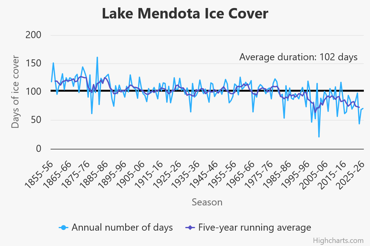
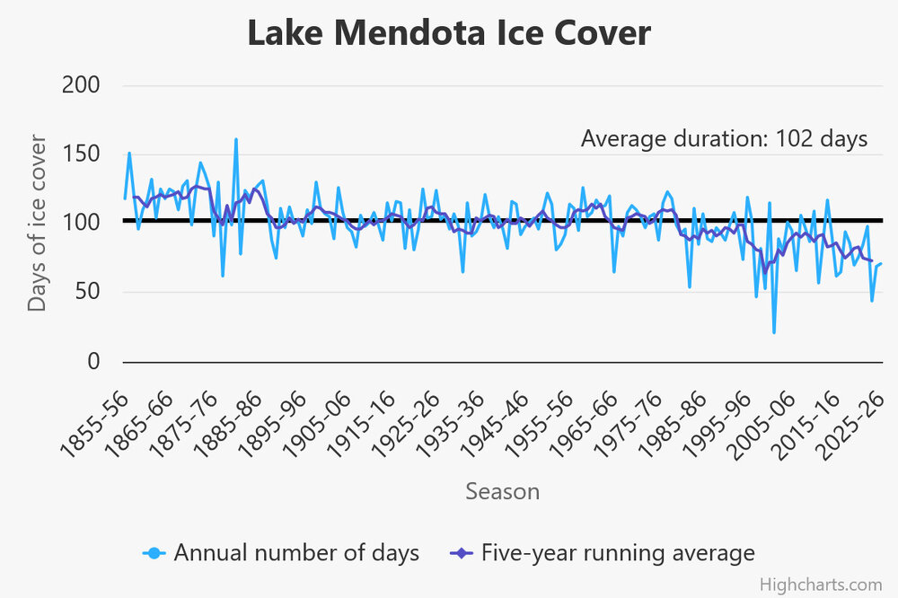
The Lake Mendota Wisconsin lake freeze season was similar to last year. Well below the long-term average despite the relatively cold winter. Similar story at the 2 other Madison Lakes. https://climatology.nelson.wisc.edu/first-order-station-climate-data/madison-climate/lake-ice/history-of-ice-freezing-and-thawing-on-lake-mendota/
-

Central PA Spring 2026 Discussion/Obs Thread
mahantango#1 replied to Voyager's topic in Upstate New York/Pennsylvania
-
It can't be. It was from AI and Reddit.
-
Looks like sprinkle fest continues for another day. Looks like a new batch of sprinkles developing and headed this way. Crazy how sprinkles and showers added up to about 1.50" over the past week.
-
Thankfully we stay dry this weekend . NNE looks rough though
- Today
-

Central PA Spring 2026 Discussion/Obs Thread
Mount Joy Snowman replied to Voyager's topic in Upstate New York/Pennsylvania
Agreed, June 1 is the time for it. -
Seems like all or nothing around here these days. We are either in a drought or we are flooding and nothing in between.
-
Just looked at the evolution for next weekend. That’s a new way to try to ruin a summer weekend…. a LP diving south out of Hudson Bay. Side Note: never appreciated that Hudson Bay was relatively shallow (average depth of 300m). Suppose that makes sense given it’s position as basically on the North American continent.
-
Total of 2.56" since Saturday, with the potential for a couple more inches the next week. Amazing how green everything is again.
-
50s and 60s over the weekend. Another deep summer stretch. Only hope is to time any rain maybe sat night. I’ll take 60s if we can get sun.
-
Misleading. Measurable rain overall entire weekend says nothing about the sensible wx overall. Case in point, if Wxwiz got honkin' tstms every weekend in the summer amidst HHH conditions? Heck, even CoastalWx would welcome that! And Logan is just one point. They act like when it rains it is synoptic coverage by default!
-
It's going to be that type of event where we may not know until it actually happens, if it does. The fact that the GFS/ECMWF/GDPS/UKMET has shifted the heaviest QPF into NNE, that makes it more likely. Look at the cold 850 temps NW of the 850 low. It's never going to look like a lock, even close to it, for snowfall this time of year. Fun 'n games watching noodles and cats paws on the car windshield. Scott may just travel to NNE for one last look at winter 25-26! LOL. The 00z ECMWF for after the weekend event? Omega "Supreme" does not want to go away. Not 1, not 2, but 3 more cold 500 lows NEUS! And another weekend potential ruined June 6-8 w/ back-to-back coastals.
-

Central PA Spring 2026 Discussion/Obs Thread
Voyager replied to Voyager's topic in Upstate New York/Pennsylvania
If ya'all want me to, but not until June 1st. -
 Fixed.
 -
We are gonna get all the reservoirs and aquifers topped off real good this summer, fall and winter! Some will be over topped but good! Some places the water table will be visible at the surface! This, is gonna be GOOD !