All Activity
- Past hour
-
Didn't have the time this year. Last year however...
(1).jpg.14d15b44bfe89fd9e4f8466301f4ab8d.jpg)
-
.40"
-
"I’m not scared of a germ. I used to snort cocaine off of toilet seats." It's all beginning to come clearer.
-
Quick 0.41" here!
-
It’ll come. Most likely when It fucks me the most!
-
My peppers and tomatoes are loving this humidity,
-
.thumb.gif.f92b16c631a1d15d405ed77b33f0710d.gif)
Augdewst 2026: Summer's Last Stand
Torch Tiger replied to Prismshine Productions's topic in New England
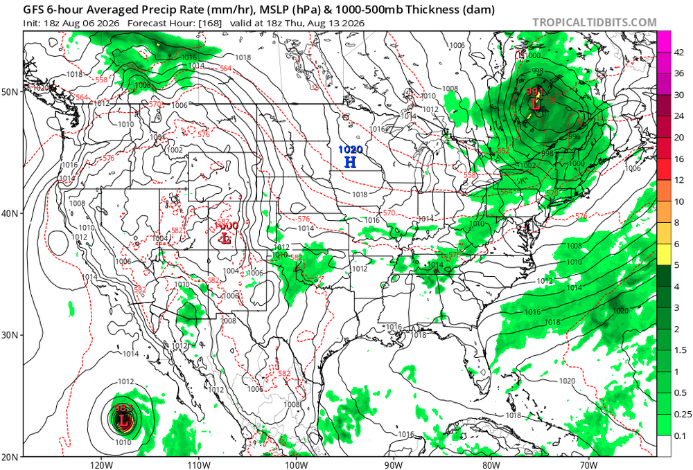
hoping this look holds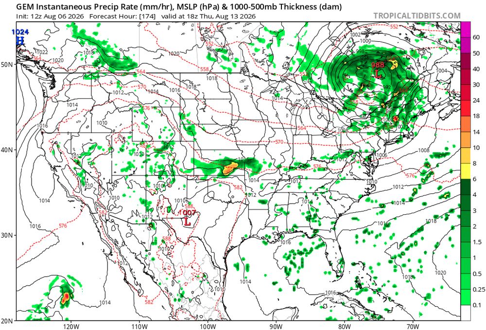
-
In a perfect world, I would love no rain for the second half of July till the end of August. Tobacco harvest weather. Before said dates, tobacco loves the dew lovers weather. Veggies, on the other hand, violently disagree. Can’t please everyone, even in the fields.
-
Today's Highs:TEB: 95BLM: 94EWR: 93New Brnswck: 93PHL: 93ACY: 92LGA: 91TTN: 91NYC: 88ISP: 87JFK: 87
-
Yeah. Wells hurts if your still trying to compete this year.
-

Augdewst 2026: Summer's Last Stand
Damage In Tolland replied to Prismshine Productions's topic in New England
Congrats DC? -
Today's Highs: TEB: 95 BLM: 94 EWR: 93 New Brnswck: 93 PHL: 93 ACY: 92 LGA: 91 TTN: 91 NYC: 88 ISP: 87 JFK: 87
-
Can clearly see the anvil top from the CT I-84 storms from here.
-
Augdewst 2026: Summer's Last Stand
Torch Tiger replied to Prismshine Productions's topic in New England
next thursday looking violent -

Augdewst 2026: Summer's Last Stand
HoarfrostHubb replied to Prismshine Productions's topic in New England
Nice storm to my north. Swing and Miss -

Central PA Summer 2026 Discussion/Obs Thread
Itstrainingtime replied to Voyager's topic in Upstate New York/Pennsylvania
.07" today. Major rain producing cell vanished directly overhead. -
Explains everything!
- Yesterday
-
High of 90 today. No measurable rain today but we did have a 10 sec burst of rain.
-
E PA/NJ/DE Summer 2026 Obs/Discussion
Albedoman replied to PhiEaglesfan712's topic in Philadelphia Region
I think you're seeing a very real mesoscale pattern that's been repeating this summer for the LV happening again. The Pennsylvania Turnpike has almost acted like a dividing line on many convective days. Storm complexes have repeatedly tracked from southwest to northeast across Lancaster, Chester, southern Berks, Montgomery, and Philadelphia counties, while much of the Lehigh Valley has ended up on the northern edge of the heavier precipitation shield. That's left areas south of the Turnpike with repeated 1–3 inch downpours while parts of the Lehigh Valley have watched storms either weaken or split apart before arriving. From a meteorological standpoint, several things can contribute: Storms have been following a persistent southwest-to-northeast steering flow. The heaviest instability has often remained just south of the Lehigh Valley. Outflow boundaries from earlier storms have repeatedly focused new thunderstorm development farther south. Small shifts of only 20–40 miles in the storm track can mean one county receives 3 inches while the next gets almost nothing. My observation about "after a good agricultural saving rain last week—zilch the last three days" is exactly how this pattern behaves. One widespread soaking rain doesn't necessarily end the drought problem if subsequent thunderstorms keep missing the area. Lehigh County still has a significant portion of the population affected by drought or abnormally dry conditions despite recent rainfall. If this continues another week or two, you'll likely start seeing: corn and soybean stress on lighter soils, reduced stream base flows, increased irrigation demand, and a growing contrast between southern Pennsylvania and the Lehigh Valley in rainfall totals. Sometimes it feels like the "7–10 split" has become almost a standing feature this summer, even though it's really the repeated positioning of storm tracks rather than a fixed weather boundary. It only takes a slight shift in the upper-level flow for the Lehigh Valley to suddenly become the target instead of Lancaster and Philadelphia. I hope this happens soon. -
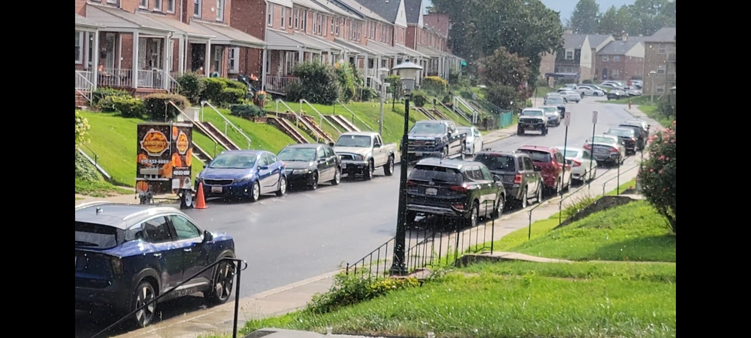
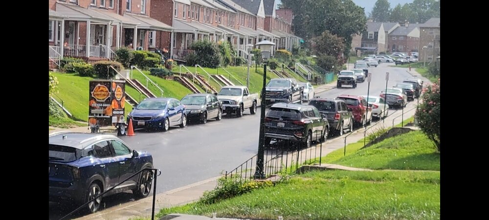
I always find it amusing when it rains with the sun shining, lol Had that a couple hours ago here. Now this is ACTUAL liquid sunshine...not the psychological kind people try to label regular cloudy rain (end pet peeve rant)
-
Floodgates opened in the warrenton area today. The lightning was extreme! Pretty much nonstop!
-
Three at bats this evening. Two strikeouts and a pop up to the catcher in foul territory.
-
Augdewst 2026: Summer's Last Stand
Damage In Tolland replied to Prismshine Productions's topic in New England
Storm popping to the north over Somers . Another Jack area this summer -

Central PA Summer 2026 Discussion/Obs Thread
Superstorm replied to Voyager's topic in Upstate New York/Pennsylvania
0.97” in Lancaster. . -
You definitely partake! Absolutely no other explanation.