Rjay
-
Posts
28,361 -
Joined
-
Last visited
Content Type
Profiles
Blogs
Forums
American Weather
Media Demo
Store
Gallery
Everything posted by Rjay
-
New account, new country. Got it.
- 373 replies
-
- 7
-

-
- heavy rain
- wind event
- (and 2 more)
-
From Luxembourg?
- 373 replies
-
- 3
-

-
- heavy rain
- wind event
- (and 2 more)
-
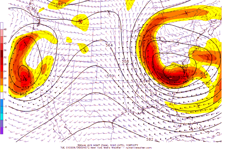
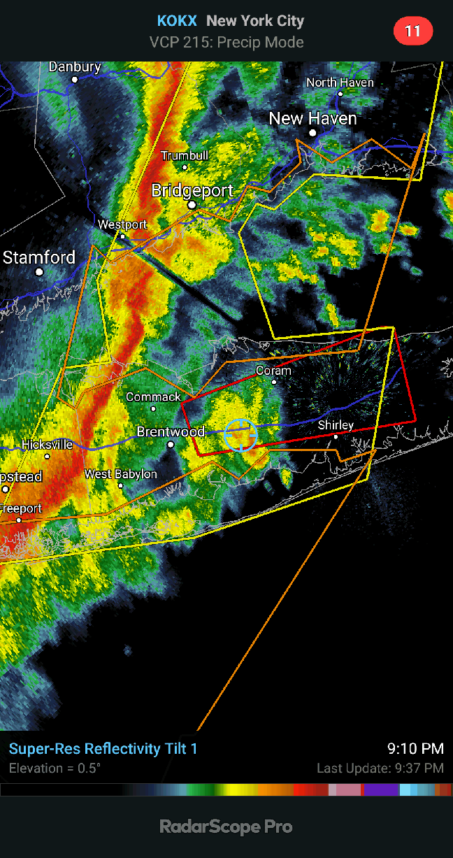
Sub 1000MB sfc low and associated significant hazards Nov 30-Dec 1, 2020
Rjay replied to wdrag's topic in New York City Metro
Amityville Harbor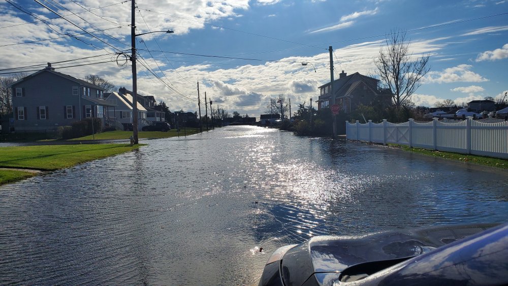
- 212 replies
-
- 4
-

-
- wind damage
- heavy rain
- (and 1 more)
-
December 2020 temperature forecast contest
Rjay replied to Roger Smith's topic in Weather Forecasting and Discussion
DCA: +1.5 NYC: +2.0 BOS: +2.5 ORD: +1.0 ATL: 0.0 IAH: 0.0 DEN: +3.0 PHX: +2.0 SEA: +1.8 -
November 2020 General Discussions & Observations Thread
Rjay replied to Rtd208's topic in New York City Metro
Great day to eat outside. I hope people take that option. -
Islip got 18" I think. Had a decent amount (6"+) in my area too. Just can't remember how much.
-
NATIONAL WEATHER SERVICE MOUNT HOLLY NJ 315 PM EST FRI MAR 02 2001 DISC: EXPLAING THE MODELS AT THIS TIME IS ANTICLIMATIC SO ILL GET RIGHT INTO THE MODEL INTERPRETATION/COORDINATION AND THE POTENTIAL EFFECTS IN OUR CWA. FIRST ORDER OF BUSINESS THIS PACKAGE IS TO ISSUE WINTER STORM WATCH FOR ENTIRE CWA FOR SUNDAY. THERE WILL BE A PERIOD OF RAIN IN THE MORNING FOR COASTAL PLAIN-COUNTIES BEFORE CHANGING OVER TO SNOW BUT THE RAPID INTENSIFICATION OFF THE N.C. COAST AND THE MAGNITUDE OF THE EVENT IN OUR CWA IS DICTATING THE EARLY WWA RELEASE ESPECIALLY WITH THE RAIN CHANGING OVER TO SNOW. ITS THE FIRST TIME THAT I CAN REMEMBER A START TIME BUT NOT AN ENDING TIME IN SIGHT. THE SNOW BEGINS IN EARNEST BY SUNDAY AFTERNOON AND CONTINUES HEAVY AT TIMES INTO MONDAY AND PERHAPS EARLY TUE. THIS STORM WILL ALSO BRING COASTAL FLOODING PROB LATE SUNDAY INTO EARLY TUE BUT THE CONCERN WILL BE FOR THE OCEAN FRONT FROM THE HEAVY WAVE ACTION AND RESULTING BEACH EROSION. AS THE STORM RAPIDLY INTENSIFIES ON SUN THE WINDS ARE GOING TO TURN TO THE NORTH BUT WITH THE PRESSURE SO LOW THE TIDES WILL STILL RISE AND PUT US IN A MODERATE TO POSSIBLY SEVERE CATEGORY ON MONDAY.
-
Weird. My phone keeps auto correcting "Thanksgiving" to "superspreader event".
-
How many people are you having at your superspreader event?
-
AREA FORECAST DISCUSSION NATIONAL WEATHER SERVICE NEW YORK NY 242 AM EST SAT MAR 3 2001 WL GO AHD AND ISSUE WSW FOR ENTIRE FA FOR 3D PD. AVN/ECMWF CONSISTANT AND SHOWG MAJOR LO PRES EFFECTG FA SUN AFTN THRU AT LEAST TUE MRNG. THINKG IN XS OF A FT OF SNW...ALNG WITH 25 TO 30 MPH WNDS...IE NR BLIZZARD LIKE CONDITIONS...SUN NGT THRU TUE MRNG. THIS HAS THE POTENTIAL TO BE THE STRNGST STM SINCE THE JAN 96 BLIZZARD. THE ETA AND NGM HAVE COME OVR TO THE AVN/ECMWF SOLN AS WELL AS THE NOGAPS. THE CANADIAN AND UKMET STILL SHOWG A MORE PROGRESSIVE SYSTEM. BUT IF THE SYSTEM GOES VERTICAL...AS IT SEEMS IT WL NOW...IT WL STALL BTWN DELMARVA AND CAPE COD...AND CUD HAMMER US THRU TUE MRNG. AM CONFIDENT ENUF THAT WE WILL GET SOMETHING THUS WL GO AHD AND PULL THE TRIGGR ON THE WSW. ON THE MARINE...THINKG WE CUD GET CSTL FLOODG PROBLMS AT TIMES OF HI TIDE...BEGNG SUN NGT. THATS STILL 4TH PD...AND WL NOT ISSUE A CSTL FLD WATCH ATTM. BUT ONE WL PROBLY BE ISSUED THIS AFTNS PCKG. WRKZFP IN AWIPS BY 3.5 AM. ZNS WIBIS BTW 4 AND 4.5 AM. ON THE MARINE...WL CONTINUE MENTION OF GLS SUN NGT ON. PROBLY BE UP TO SCA SUN AFTN. .OKX...WINTER STORM WATCH CTZ005>012-NJZ002>006-011-NYZ067>081 FROM 18Z SUNDAY THROUGH 12Z TUESDAY.
-
November 2020 General Discussions & Observations Thread
Rjay replied to Rtd208's topic in New York City Metro
Loud thunder woke me up at 545am. -
Half my place is inpatient rehab. The other half is a nusing home. A lot of this took place in March and April in my area.
-
November 2020 General Discussions & Observations Thread
Rjay replied to Rtd208's topic in New York City Metro
My forecasted high 2 days ago for today was 59. Yesterday the forecast for today was 62. It's 65 currently. -
Considering all the death I've seen and having coworkers vented, it was a moderate case.
-
My first symptom was a sore throat. The next day I had chills and was sweating. That night I started sneezing a lot which isn't common. The 3rd day I had a low grade fever. By day 4 my fever was gone and I felt like I had a nasty cold; headache, congestion, wet cough (not dry) and started getting fatigued quickly. Day 5, I was finally able to get a covid swab (this was in March when it wasn't easy to get a test even as a healthcare worker) and I completely lost my sense of smell and taste. On day 6 I could barely get out of bed and became short of breath with any activity. Day 7 my test came back positive. The same symptoms continued and on day 9 I started feeling a squeezing in my chest and my o2 saturation was around "90%". I clearly had pneumonia. Day 10, I started getting very sharp pains in my chest where my heart is located. This symptom was constant for 3 more weeks and still hasn't completely gone away. I was fatigued for 40+ days. This virus is scary af and I didn't even have a severe case. **Oh and my sense of smell and taste came back after 6 weeks. **I started feeling better between days 20-22 but wasn't close to 100% (besides the chest pain I still feel sometimes) for 2 months.
-
November 2020 General Discussions & Observations Thread
Rjay replied to Rtd208's topic in New York City Metro
22 for a low this morning. -
November 2020 General Discussions & Observations Thread
Rjay replied to Rtd208's topic in New York City Metro
FOX down to 22 and the winds aren't even calm there -
November 2020 General Discussions & Observations Thread
Rjay replied to Rtd208's topic in New York City Metro
25 here now -
November 2020 General Discussions & Observations Thread
Rjay replied to Rtd208's topic in New York City Metro
Holy crap. It's 29 here already. Coldest of the year. -
November 2020 General Discussions & Observations Thread
Rjay replied to Rtd208's topic in New York City Metro
32 here the last 2 nights -
Yea. This has been lame.
-
Pockets damaging wind-power outage potential 4P-10P Sunday Nov 15, 2020
Rjay replied to wdrag's topic in New York City Metro
Thanks man. Everything is great. Hope you and your family are doing well too.