

WxUSAF
-
Posts
28,765 -
Joined
-
Last visited
Content Type
Profiles
Blogs
Forums
American Weather
Media Demo
Store
Gallery
Everything posted by WxUSAF
-
It ain’t happening today
- 1,681 replies
-
- 2
-

-
- severe
- thunderstorms
- (and 7 more)
-
I want the cold front the 12z GFS has at hour 384
-
Euro, NAM, and FV3 meso bring a weakening line of storms through the whole metro area this evening.
- 1,681 replies
-
- 6
-

-

-

-
- severe
- thunderstorms
- (and 7 more)
-

Fireworks Heat Contest W 7/1 - S 7/4 for Five MA Airports
WxUSAF replied to nw baltimore wx's topic in Mid Atlantic
SBY and RIC killing me. -
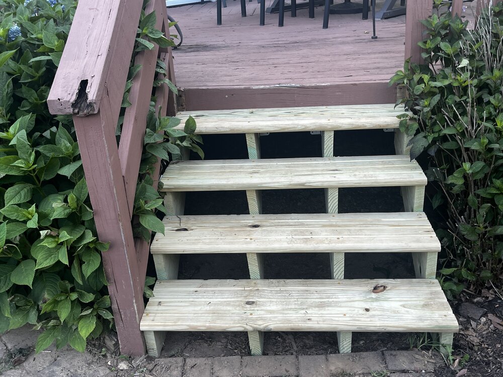
Project my son and I did today. Way more tolerable this evening since we were in the shade even though temp was technically warmer. Still look like I jumped in the pool with my clothes on.
-
I was just being a troll
-
230pm and zero 100+ obs on the mesonet. #bust
-
My son and I did 45 mins outside working on the deck. That was plenty. Shirt soaked in sweat.
-
Super hazy. But note that it’s sunny, hazy, hot and humid as shit, and we don’t have air quality alerts. Pollution control works! We should keep doing it!
-
Hundo plus here we come
-
Impressive win! Go USMNT! gonna be tough without Balogun next game…
-
Not a single storm popped today
-
7 definitely better but 6 is probably ok. 4 or 5 would not be.
-
Hot outside? CONFIRMED
-
If he buys it will be someone with control for next season, not just a rental for this year.
-
Fireworks Heat Contest W 7/1 - S 7/4 for Five MA Airports
WxUSAF replied to nw baltimore wx's topic in Mid Atlantic
FYI updated my entry -
Storms Wednesday-friday look isolated at best. Maybe scattered Saturday, with far NW favored. Potentially widespread Sunday and Monday.
-
They can play with anyone. They have the talent, just don’t play to their potential really ever
-
Fireworks Heat Contest W 7/1 - S 7/4 for Five MA Airports
WxUSAF replied to nw baltimore wx's topic in Mid Atlantic
DCA: 98, 101, 101, 99 BWI: 97, 102, 102, 99 IAD: 96, 99, 100, 99 SBY: 97, 100, 100, 99 RIC: 98, 100, 100, 98 Rain: 0.45” -
Dumping. Up to 0.04”. Another hour or two and I’ll exceed daily average precip for late June!
-
Do it
-
If these sprinkles continue I may crack 0.02” as a weekend total
-
I’ll wag BWI and DCA hit 100 twice, but not all time records. IAD gets to 99 or 100 as a max.
-
ALEET ALEET I’ve had a sprinkle!
-
Nope!


