

WxUSAF
-
Posts
28,730 -
Joined
-
Last visited
Content Type
Profiles
Blogs
Forums
American Weather
Media Demo
Store
Gallery
Everything posted by WxUSAF
-
18z hrrr most encouraging run of the day for metro area rainfall
-
I’ve seen lots of pinks and purples on QPF maps for awhile and the ground truth has been lacking
-
12z guidance suggests today we’re too far south and tomorrow too far north.
-
Going to be 0.1” or just over in Columbia. Maybe just a T for Greenbelt.. crazy I95 rain shield
-
I95 split for the ages so far. Hopefully it fills in
-
Just had lightning and thunder in Greenbelt
-
That specific cell will miss MBY northwest @yoda but stuff is popping so we’ll see
-
Storm just popped behind the bay breeze front in northern AA county
-
Going to develop overhead? Radar looks like shit for us
-
Shitty metro area fail? Or will that EZF cluster push north?
-
Hrrr seems to have the evolution down , but coverage looks higher than it shows
-
Hard to be 100% sure with all the ground clutter on radar, but looks like there’s a bay breeze boundary in southern AA and Calvert counties.
-
Seems less hazy this morning to my eyes. Sky is a deeper blue. Signs of the ridge weakening?
-
Just rain dammit
- 1,155 replies
-
- 12
-

-

-

-

-

-
- severe
- thunderstorms
- (and 7 more)
-
God damn what a beautiful goal by Cape Verde
-
It ain’t happening today
- 1,155 replies
-
- 2
-
-
- severe
- thunderstorms
- (and 7 more)
-
I want the cold front the 12z GFS has at hour 384
-
Euro, NAM, and FV3 meso bring a weakening line of storms through the whole metro area this evening.
- 1,155 replies
-
- 6
-
-
-
-
- severe
- thunderstorms
- (and 7 more)
-

Fireworks Heat Contest W 7/1 - S 7/4 for Five MA Airports
WxUSAF replied to nw baltimore wx's topic in Mid Atlantic
SBY and RIC killing me. -
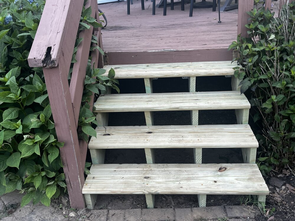
Project my son and I did today. Way more tolerable this evening since we were in the shade even though temp was technically warmer. Still look like I jumped in the pool with my clothes on.
-
I was just being a troll
-
230pm and zero 100+ obs on the mesonet. #bust
-
My son and I did 45 mins outside working on the deck. That was plenty. Shirt soaked in sweat.
-
Super hazy. But note that it’s sunny, hazy, hot and humid as shit, and we don’t have air quality alerts. Pollution control works! We should keep doing it!
-
Hundo plus here we come

