WxUSAF
-
Posts
28,764 -
Joined
-
Last visited
Content Type
Profiles
Blogs
Forums
American Weather
Media Demo
Store
Gallery
Everything posted by WxUSAF
-
Bump for the 12z isolated micro-shower tomorrow in the metro area
-
They just cancelled
-
My memory is that 2023 smelled like a wet, stale campfire. Agree with @dailylurkerthat today has more tire-fire notes
-
Ha. Well orioles are away tonight so scratch that chance for help…
-
0z euro moves that round 2 through around 0z. Most other guidance has it 2-3 hours later so it mostly falls apart before getting to us.
- 1,673 replies
-
- 2
-

-
- severe
- thunderstorms
- (and 7 more)
-
So how do I be “that guy” and tell a bunch of baseball bros that our kids probable shouldn’t have a game tonight? Would probably help if the orioles cancelled first.
-
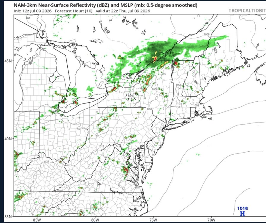
Why has the NAM just looked like shit for any shower/storm day we’ve had this year from any range >6 hours??
-
https://x.com/burgwx/status/2077515763556979192?s=46&t=JYOHM881b6groqc0-RqtxA cant figure out how to display tweets anymore. My trick isn’t working.
-
Still mostly upper 80s or right at 90 except for Baltimore city.
-
Friday morning looks the worst for us?
-
Mostly mid 80s on the mesonet. So will take some work to hit widespread 100, especially with some smoky skies
-
If the smoke gets as thick as it looks it may (rivaling 2023), that’ll definitely knock a few/several degrees off the temps. New England highs today were mostly under the forecast.
-
Several upper 50s for lows on the mesonet
-
@WxWatcher007 home brew next weekend???
-
Nada for MBY outside sprinkles around 1-2pm. Back to drought?
-
Up in Harford county at a baseball game and getting stormed. Not too munch thunder or wind. That outflow produced more wind
-
That HoCo/MoCo border area getting it again
-
Gonna have goofy storm/shower motions today
-
Nada
-
They’re about to collide. Can we get lucky?
-
Light rain about to reach God’s Forsaken Lands (Stephen’s City)
-
Seems like the western ridge rolls over us mid/late next week for a few days of potentially high heat. But probably/hopefully short lived with BN air right after on northerly flow.
-
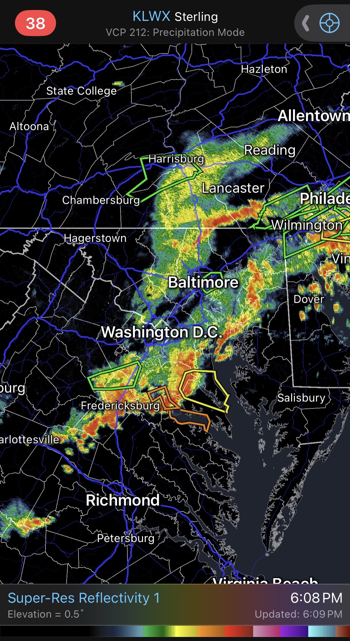
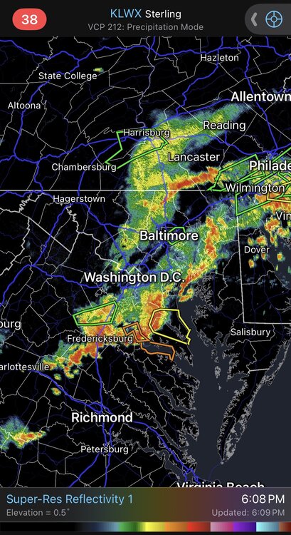
Seems like the NAM has been struggling with storm/rain coverage lately
-
Kinda got missed, but still over 0.3” and a bit more to come. Won’t complain (too much) since HoCo has been lucky compared to others.