John1122
Members-
Posts
10,749 -
Joined
-
Last visited
Content Type
Profiles
Blogs
Forums
American Weather
Media Demo
Store
Gallery
Everything posted by John1122
-
Leap Days Clipper Parade: February 26th-29th 2020
John1122 replied to John1122's topic in Tennessee Valley
There's a possibility of convective snow showers with these disturbances. If you get under one you can see very heavy snow and strong wind for brief periods of time. The GFS advertises some flakes basically statewide. -
A series of clippers looks likely, they are notoriously fickle in the area. Earlier the Saturday clipper was showing up for West Tennessee but now looks like it's shifted east. As always the higher up the better. I wouldn't be shocked to see the Smokies end up with over a foot when it's all said and done. The Plateau could get a few inches as well. Crossville to my area seems to be in the 1-3 inch range through Saturday. As always it will depend on timing and surface temps. Night would be much better.
-
.76 rain today. Also had sleet off and on at times. It was sleeting as late as 2:30 this afternoon. Very cold layer aloft today, noticed that it was 25 at Clingmans Dome with freezing rain a little while ago.
- 171 replies
-
- 1
-

-
Wild Speculation for Winter 20 -21
John1122 replied to Holston_River_Rambler's topic in Tennessee Valley
2012 ended up being the lowest summer ice extent on record due to a very unfavorable pattern that developed in spring and summer over the Arctic. 2012 at this time of year wasn't remotely the lowest ice extent on record. We are slightly ahead of 2012 right now and overall this winter has seen gains in Arctic ice that easily outpaced average. Currently sea is is ahead of 2019 on this date, well ahead of 2018 on this date, well ahead of 2017 on this date, well ahead of 2016 on this date, ahead of 2015 on this date, ahead of 2014 on this date, roughly tied with 2013 on this date, ahead of 2011 on this date, roughly tied with 2010, behind 2009 and 2008, ahead of 2007, ahead of 2006, ahead of 2005, behind 2004-2001. So in the last 20 years we are currently ahead on Arctic sea ice vs 14 of the 20 years. So the +AO has done pretty good work in the Arctic this year. -
NAM vs the Euro cage match storm, Feb 20 - 21
John1122 replied to Holston_River_Rambler's topic in Tennessee Valley
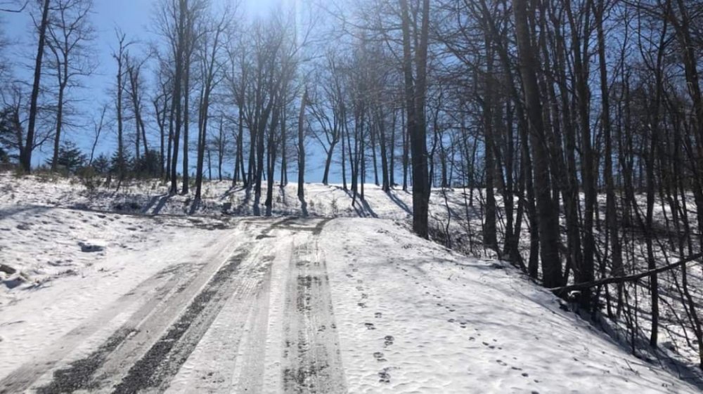
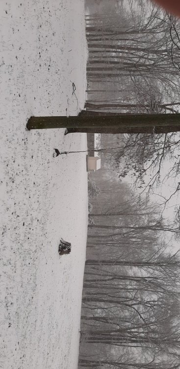
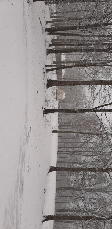
I've got a photo of my dog in the snow from the event. It was the first year I had her. She died in November at 17. She absolutely loved rolling and playing in snow. -
NAM vs the Euro cage match storm, Feb 20 - 21
John1122 replied to Holston_River_Rambler's topic in Tennessee Valley
If I were guessing those areas were in exactly the right path and the snow was dynamically driven. The highs in virtually every location that day was in the 40s, but the areas that got under the heavy snow were cooled just enough from the upper levels most likely. On a smaller scale than that a similar event happened in Campbell Co in December 2009. Very heavy rain for about five minutes that switched to silver dollar or larger flakes. We got 8 inches of snow in 4 hours. Broke power lines and my power was off for 3 days. Scott county to the west, Whitley to the north and Claiborne to the east went back and forth from rain to snow and ended up getting an inch of slush. Anderson to the south and points south ended with all rain. If you get under just the right part of a system it can really have freakish seeming results. -
NAM vs the Euro cage match storm, Feb 20 - 21
John1122 replied to Holston_River_Rambler's topic in Tennessee Valley
Snow quickly went away in the valley areas in Campbell but still around for another day above 1700 feet on the north/northwest facing areas. -
February/March 2020 Winter's Last Chance Thread
John1122 replied to John1122's topic in Tennessee Valley
GFS and Canadian are both feet in with the Northern stream. The Euro is less impressed. The Euro hasn't been good with the southern stream beyond 48 hours this year. Not had any notable Northern stream stuff to judge. -
NAM vs the Euro cage match storm, Feb 20 - 21
John1122 replied to Holston_River_Rambler's topic in Tennessee Valley
It's the same event. The band apparently traveled ENE. Oneida got no snow from it. Anderson, Campbell County and into Claiborne got 4-8 inches. Jellico got nothing on the Ky border but Lafollette got 8 inches. Middlesboro Kentucky got 0.00 precip but Tazewell about 15 miles South of there got 5 inches of snow. Lancing which is 5 minutes from Wartburg got 9 inches. Oak Ridge got 7.5 inches of snow while Rockwood recorded a trace, Monteagle got 2 inches. Knoxville got trace snow but Norris, 15 miles north got 3 inches. . Further east, Abington, Va got 6 inches as did Mountain City. Rogersville got 4 inches, Morristown to Tri got 2 or 3 inches and Roan Mtn got 1.8 inches. While Jefferson City got a trace and Greenville 1/2 inch Newport and Sevierville 0. I remembered the event and that it hit my area heavily and not Knox. I also remembered Jellico and Whitley County getting nothing. But I didn't remember it being so randomly scattered around the state. -
NAM vs the Euro cage match storm, Feb 20 - 21
John1122 replied to Holston_River_Rambler's topic in Tennessee Valley
There was another mega bust in that timeframe where there were widespread winter storm warnings and the system was suppressed and no one got anything. There was a 3rd event on a weekday where the Plateau got pummelled with heavy snow, 6+ inches and the valley was all rain. Driving home from work that day it was pouring rain in Knoxville, it was snowing and raining mixed at the Clinch river bridge, all snow with none on the ground at Lake City, 5+ inches of snow just south of Caryville with heavy snow falling. -
NAM vs the Euro cage match storm, Feb 20 - 21
John1122 replied to Holston_River_Rambler's topic in Tennessee Valley
The event from February 2004 there was on a Sunday. The Plateau got generally 6-10 inches of snow. NE Tennessee got 3 or so. It was a cold rain event in Oak Ridge and Knoxville but as far south as Norris had 3 or 4 inches. I worked in west Knoxville at the time. When I went to work that Monday people didn't believe me when I said it had snowed at my house until I showed them about 8 inches in the bed of my truck. -
February/March 2020 Winter's Last Chance Thread
John1122 replied to John1122's topic in Tennessee Valley
Looks like 10-20 degrees BN for temps February 25th-29th. Opens a window for some possible northern stream clipper or flow snow. Been a rare thing this year. -
NAM vs the Euro cage match storm, Feb 20 - 21
John1122 replied to Holston_River_Rambler's topic in Tennessee Valley
Crossville was 31 during the event. It made all the difference in the world. -
NAM vs the Euro cage match storm, Feb 20 - 21
John1122 replied to Holston_River_Rambler's topic in Tennessee Valley
Looking back at modeling from 12z Wednesday. NAM had me with .32 precip, Euro .22, GFS .11, Canadian .10. NAM had me with 2.5 inches of snow ratio'd map with a 2 inch snow depth. Euro had me with 2 inches but doesn't have a depth map I can access. GFS/Canadian had me with a dusting. So it looks like the Euro/NAM were best for mby from 24 hours before the event started. -
February/March 2020 Winter's Last Chance Thread
John1122 replied to John1122's topic in Tennessee Valley
I'd like to see an event with temps around 26-29 instead of 32/33. BL temps always rule the roost. Even being at 32 vs 34 is huge. Maybe not in the cards for the rest of the season though. Today did make me appreciate just how hard it snowed in April 1987 and in a couple of other April events I had. My accumulation today came in two waves when very heavy snow fell at over an inch per hour rates. Less than that and it just snowed on top of the snow but it was melting from underneath at an equal or greater rate of the snow falling. I had a 3 inch event in April 1997 or 1998 when I got all 3 inches in 1.5 hours of silver dollars. April 1987 was basically 12 hours of silver dollars. We had that today but in shorter bursts. I had .30 QPF today. Looks like some areas around Knoxville towards Morristown had much more. Close to an inch in some places. I wish I could have given you guys my temps. -
NAM vs the Euro cage match storm, Feb 20 - 21
John1122 replied to Holston_River_Rambler's topic in Tennessee Valley
Yes, it came down pretty good for a few minutes. Looks like it's going to be the last shot and it looks like it's getting ragged as it leaves the Plateau area. -
NAM vs the Euro cage match storm, Feb 20 - 21
John1122 replied to Holston_River_Rambler's topic in Tennessee Valley
I have had a few heavy showers this evening. always nice to see. -
NAM vs the Euro cage match storm, Feb 20 - 21
John1122 replied to Holston_River_Rambler's topic in Tennessee Valley
Another shot of nice quarter sized flakes but its losing steam fast at this point. -
NAM vs the Euro cage match storm, Feb 20 - 21
John1122 replied to Holston_River_Rambler's topic in Tennessee Valley
-
NAM vs the Euro cage match storm, Feb 20 - 21
John1122 replied to Holston_River_Rambler's topic in Tennessee Valley
Been rolling down here for the last hour. Crossing 2 inches. Seems like it's been forever to have big heavy flakes falling all day. -
NAM vs the Euro cage match storm, Feb 20 - 21
John1122 replied to Holston_River_Rambler's topic in Tennessee Valley
Thse 35dbz rates would be close to 1.75 inch per hour rates I believe. -
NAM vs the Euro cage match storm, Feb 20 - 21
John1122 replied to Holston_River_Rambler's topic in Tennessee Valley
Oak Ridge is reporting heavy snow with 1/4th mile vis, hope they are getting some accumulation out of it for our posters from that area. 1.75 inches here now, it's snowing around 3/4ths inch per hour rates on average but it's more 1.5 inch per hour then when it backs off it's compacting and melting from below about as fast as it can fall. I wish we'd managed a day in the 20s before this moved in instead of a day in the 50s. -
NAM vs the Euro cage match storm, Feb 20 - 21
John1122 replied to Holston_River_Rambler's topic in Tennessee Valley
The rates and flake size are very impressive when any enhancement rolls through. It looks like it's leaving West Tennessee, I assume in a few hours the transfer off the coast will take place and this will shut off pretty fast. -
NAM vs the Euro cage match storm, Feb 20 - 21
John1122 replied to Holston_River_Rambler's topic in Tennessee Valley
Snowing very heavily again. Vis between 1/4th and 1/2 mile. Around 1.5 inches so far. -
NAM vs the Euro cage match storm, Feb 20 - 21
John1122 replied to Holston_River_Rambler's topic in Tennessee Valley
Crossville reported heavy snow with 1/4th mile vis with the band that just moved through there, explains your situation Shocker! Enhanced area is about to move over me it looks like. Odd ob to me is rain and 34 in Middlesboro, Kentucky. Surprised they got any rain from this. I never saw anything but pure snow from the first flake. Not even drizzle or a sleet pellet. Just a few flurries and then goosefeathers.


