

NavarreDon
-
Posts
2,910 -
Joined
-
Last visited
Content Type
Profiles
Blogs
Forums
American Weather
Media Demo
Store
Gallery
Everything posted by NavarreDon
-
Obviously it’s a filthy mess but this always raises the eyebrow!!!! .
-
I’m watching. .
-
My post wasn’t directed at you, I enjoy your enthusiasm. Some of the tangents the that posts take the direction of the thread in, are a bit over the top. .
-
Great post! Some normalcy in the thread has returned!!! .
-
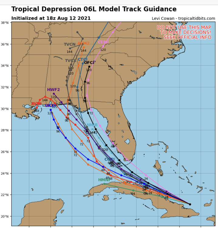
At work & just saw this, looks like a shift to the west….thoughts? .
-
I would recommend the Panhandle. Base of Panama City Beach, this allows relocation both E & W in pretty quick order. .
-

What the heck happened to the forum?
NavarreDon replied to CheeselandSkies's topic in Forum Information & Help
It’s working fine for me. . -
What the heck happened to the forum?
NavarreDon replied to CheeselandSkies's topic in Forum Information & Help
Really frustrating & yes is there a fix in the works!!!? -
Tropical Weather Outlook NWS National Hurricane Center Miami FL 200 PM EDT Wed Jun 30 2021 For the North Atlantic...Caribbean Sea and the Gulf of Mexico: 1. Showers and thunderstorms associated with a broad low pressure area and tropical wave located about 1300 miles east-southeast of the Windward Islands have become better organized since yesterday. However, recent satellite wind data indicates that the disturbance does not have a well-defined circulation. Environmental conditions appear generally favorable for continued development, and a tropical depression or storm is likely to form during the next day or two while the system moves west-northwestward at 20 to 25 mph. Interests in the Lesser Antilles should closely monitor the progress of this system, as advisories on a potential tropical cyclone, accompanied by tropical storm watches for portions of this area, are likely to be issued later today. * Formation chance through 48 hours...high...70 percent. * Formation chance through 5 days...high...90 percent. .
-
That’s really depressing!!! .
-
Any Mod or Admin. Have a resolution for this? Lot’s of history in these deleted threads! .
-
https://www.news8000.com/i/claudette-regaining-strength-after-13-killed-in-alabama/
-
https://weather.com/news/news/2021-06-19-tropical-storm-claudette-louisiana-mississippi-alabama-florida-georgia
-
Our winds are sustained @ 30+ and gusting over 40 here in Navarre. I have certainly been thru better looking TS’s that weren’t as impressive. .
-
Welcome baby girl.....hahahaha! WTNT43 KNHC 190859 TCDAT3 Tropical Storm Claudette Discussion Number 7 NWS National Hurricane Center Miami FL AL032021 400 AM CDT Sat Jun 19 2021 The system that we have been tracking for a few days finally has enough of a well-defined center and organized convection to be considered a tropical storm. While the organization is not classical by any means, and there are some hybrid characteristics, the cyclone most resembles a sheared tropical storm, so the system is now Tropical Storm Claudette. The initial wind speed remains 40 kt, in line with surface observations and radar. These winds are primarily occurring in a strong band on the eastern side of the cyclone well away from the center.
-
Came home from FWB to Navarre (7-7:45pm). Bands of rain, in FWB no wind to speak of, Hurlburt field to Navarre was about *20mph sustained with gust to 30mph. About .9" of precip so far at the home gauge. *estimated winds
-
I’m at work in Fort Walton Beach but we’re about to get a small taste at home. .
-
The first outer band is coming ashore in FL,AL,MS, & LA now.
-
I’m no expert but the disco seems to account for what you’re saying. Numerical intensity guidance do not indicate a great deal of strengthening before the system reaches the coastline, and the official forecast is at the high end of the guidance. Since the center is not that well-defined at this time, the initial motion estimate, 360/8 is quite uncertain. The system is expected to move northward into a weakness in the subtropical ridge for the next day or so and then, after landfall along the central Gulf Coast, turn toward the northeast on the northwest side of a mid-level anticyclone near Florida. The official track forecast is closest to the GFS and ECMWF predictions. It should be noted, however, that these models suggest some reformation of the center near the Louisiana coast rather than just motion from the southwest Gulf to the expected coastal landfall point. Given the current and anticipated structure of this system, users should not focus on the exact track of the center, as rainfall and wind hazards are likely to extend well east of the center and arrive well in advance of landfall. .
-
And away we go…..lol 880 WTNT43 KNHC 172034 TCDAT3 Potential Tropical Cyclone Three Discussion Number 1 NWS National Hurricane Center Miami FL AL032021 400 PM CDT Thu Jun 17 2021 Visible satellite images show that the cloud pattern associated with the broad area of low pressure located over the southwestern Gulf of Mexico is gradually becoming better organized. Deep convection is beginning to form a broad curved band over the eastern portion of the system, similar to what one might see in a developing subtropical cyclone. Although the upper-level winds are not particularly favorable for development, with lots of westerly shear over the area, the global models do suggest tropical/subtropical cyclogenesis within the next 12 hours or so. Given the proximity of the disturbance to land, which requires tropical storm warnings at this time, advisories are being initiated on this system as a potential tropical cyclone. Earlier scatterometer data suggested that the circulation was still rather broad. An Air Force Hurricane Hunter plane is currently investigating the system and has not yet found a well-defined center. Maximum winds based on surface observations and the scatterometer pass are near 25 kt. Numerical intensity guidance do not indicate a great deal of strengthening before the system reaches the coastline, and the official forecast is at the high end of the guidance. Since the center is not that well-defined at this time, the initial motion estimate, 360/8 is quite uncertain. The system is expected to move northward into a weakness in the subtropical ridge for the next day or so and then, after landfall along the central Gulf Coast, turn toward the northeast on the northwest side of a mid-level anticyclone near Florida. The official track forecast is closest to the GFS and ECMWF predictions. It should be noted, however, that these models suggest some reformation of the center near the Louisiana coast rather than just motion from the southwest Gulf to the expected coastal landfall point. Given the current and anticipated structure of this system, users should not focus on the exact track of the center, as rainfall and wind hazards are likely to extend well east of the center and arrive well in advance of landfall. Key Messages: 1. The system is expected to produce heavy rainfall and considerable flash, urban, and small stream flooding beginning Friday and continuing through the weekend along the central Gulf coast and spreading northeastward into the Southern Appalachians. 2. Tropical storm conditions are expected to begin Friday in areas near and well to the east of the center along portions of the central Gulf Coast from Intracoastal City, Louisiana, to the Alabama/Florida border, including New Orleans. FORECAST POSITIONS AND MAX WINDS INIT 17/2100Z 22.9N 92.4W 25 KT 30 MPH...POTENTIAL TROP CYCLONE 12H 18/0600Z 24.5N 92.5W 25 KT 30 MPH...TROPICAL CYCLONE 24H 18/1800Z 26.5N 92.5W 35 KT 40 MPH 36H 19/0600Z 29.0N 92.0W 40 KT 45 MPH 48H 19/1800Z 31.5N 89.5W 30 KT 35 MPH...INLAND 60H 20/0600Z 34.0N 87.0W 25 KT 30 MPH...INLAND 72H 20/1800Z 35.0N 84.0W 20 KT 25 MPH...INLAND 96H 21/1800Z...DISSIPATED $$ Forecaster Pasch/Brennan .
-
That would be some pretty bad flooding up in the mountains of WNC! .
-
92L has earned its cherry…. Tropical Weather Outlook NWS National Hurricane Center Miami FL 200 PM EDT Mon Jun 14 2021 For the North Atlantic...Caribbean Sea and the Gulf of Mexico: The National Hurricane Center is issuing advisories on newly formed Tropical Depression Two, located about a hundred miles east of the Outer Banks of North Carolina. 1. Showers and thunderstorms continue over the Bay of Campeche in association with a broad low pressure area. Gradual development of this disturbance is possible during the next couple of days while it meanders near the coast of Mexico. The system should begin to move northward by midweek, and a tropical depression is likely to form late in the week when the low moves across the central or northwestern Gulf of Mexico. Regardless of development, heavy rainfall is possible over portions of Central America and southern Mexico during the next several days. Heavy rains could also begin to impact portions of the northern Gulf Coast on Friday. Please consult products from your local meteorological service for more information. * Formation chance through 48 hours...low...20 percent. * Formation chance through 5 days...high...70 percent. .
-
2021 Atlantic Hurricane season
NavarreDon replied to StormchaserChuck!'s topic in Tropical Headquarters
Hmmm..... . -
https://www.spc.noaa.gov/products/watch/ww0007.html .
-
Just talked to my brother (4063 elevation) on Bear Mnt outside of Glenville. He’s eyeballing 7-8” of wet paste! .


