Search the Community
Showing results for tags 'winter'.
Found 13 results
-
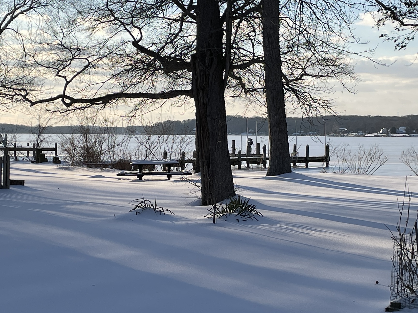
A place to share photos of the late January snowpack, of hopefully more snows to come, and of our mid-Atlantic winter scenery in general! Photographers and non-photographers welcome. Beautiful art shots and sooty parking lot piles, it's all good. Here is a shot of the Bush River, covered in ice and snow.

- 46 replies
-
- 18
-

-

-
Can we get a true Miller A pass with no warm nose? Trends today are good!
-
 While some up north have a shot at a decent, final round of snow, for most of the forum winter weather is finished...For me, it was finished in mid-February, as the season went out with a bang, pounding me with an entire 1"...I think from a cold squall line. The grades (all items are equally weighted) Overall Seasonal Snowfall: F Picking up where I left off last season, I ended up with another meager, seasonal total...15", which was only 4" more than last winter's disaster. Snow vs. Rain: F Rain was king Staying power/ (number of days) of pack: D- What little "Pack" that I had did manage to hang around a bit. Local winter enjoyment: F Temperature: C Cold was there, but just not at the right time. Snowstorms/ events (quality/ quantity): F My biggest event was under 6"...Not even nude-worthy. Overall Grade: F Again, a failure of a season, my second full year at Lava Lake, but I'm sure the "so much potential" crew will chime in.
 -
Well let's clear up the long range thread and chase some flakes! High res suite at 18z looks good for the typical NW flow areas. I fully expect to see some flakes break containment across the valley. this is unlikely but the HRRR has a full on meso-low snow squall rolling through.
-
Since winter weather is finished for most on the forum (for many it was finished in mid-January), with the exception for places like Moose Knuckle, Maine, Deer Toe, Vermont, and Bear Claw, NH, it’s time to recap. The grades (all items are equally weighted) Overall Seasonal Snowfall: F (farce) With a paltry 11” total for the season I didn’t even come close to my seasonal average. This is the first time in my life that I have lived in an area that received less than a foot of snow for a season. This includes 4 winters in the mid-Atlantic, and 5 winters in R.I. Snow vs. Rain: F (futility) There were so many rain events I lost count. Staying power/ (number of days) of pack: F (forlorn) Pack? Pack my bags and moving to the Sierra Nevada’s for winter next winter…or possibly next week to capitalize on what continues to be a beyond epic winter for that region. Local winter enjoyment: F (foolish) Cold days with zero walkable ice on the lake, and now on the ground made for a miserable depressing, brown landscape of death and despair. Temperature: C There were plenty of cold days, but with bad system timing, and atmospheric dynamics (is such even a thing?), any cold was pretty much useless. Snowstorms/ events (quality/ quantity): F (feeble) 2 events brought about 4” each (mid dec, and late feb). Big fu.cking deal. Overall Grade: F (f.uck you winter 22/23) The pros here will say that there was so much potential…I say, fuc.k potential. It’s all about results. Potential is like hiring the fresh-out-of-school kid because the hiring team sees so much potential in him, By the time his 90-day probationary period is over they find out that he was hanging out at his desk watching gamer girls on Twich play video games in hot tubs, and goat porn most of the time. But it’s too late because the days, weeks, and months were lost, having zero production.
- 64 replies
-
- 6
-

-
- terrible
- depressing
- (and 3 more)
-
Here are a few winter outlooks. Feel free to add any others or your own thoughts https://www.noaa.gov/news-release/us-winter-outlook-warmer-drier-south-with-ongoing-la-nina This year La Niña returns for the third consecutive winter, driving warmer-than-average temperatures for the Southwest and along the Gulf Coast and eastern seaboard, according to NOAA’s U.S. Winter Outlook released today by the Climate Prediction Center — a division of the National Weather Service. Starting in December 2022 through February 2023, NOAA predicts drier-than-average conditions across the South with wetter-than-average conditions for areas of the Ohio Valley, Great Lakes, northern Rockies and Pacific Northwest.
-
Figured we can keep the main topic clean and talk about the weekend here. 18Z NAM tilted our trough much more neutral vs positive which is really helping to stack up significant qpf across the NW prone regions. Every tick more neutral will add to totals quietly. Even a good bit of moisture up to 700mb now. RGEM is on board as well. High mountains should see 6+ easily in a setup like this. Should see some thunder as well with temps in the upper 60s, DPs in the upper 50s, and Cape into the 500 range. Exciting weekend ahead!
-
Because it’s never too early to be wrong Farmer’s Almanac
-
Hi everyone, Thought I’d create a catch-all thread to post, and discuss, some of the most significant winter storms to affect the Southeast U.S. states. With that in mind, I intend to share details regarding many of the historic snow storms that have battered the SE…dating as far back as the 19th century. Moreover, I look forward to reading first-hand accounts of the most memorable events you’ve experienced, first-hand.
-
Welcome to a place for weenies to share snow maps and fantasy storms that will never happen... unless they do, of course. Renew those model subscriptions and get to obsessively tracking those storms that are 16 days out. They say the big ones lock in early... Kicking us off for the season is a nice little run of the 00z EPS control. Still room for this to trend better!
-
Ok fellas lets see if this season can be any better than the last few! Currently there are signs we may actually see some fall weather in September. Best of luck to all and hopefully we will all have a snow cold winter!
-
 Actually, this is more of a test image. Just checking out the system, timing, ease of use, etc.
© Stormitecture, Jason Foster
-
A warm front associated with the next system out west will cross the area Sunday night/Monday. The associated precipitation is expected to be very light ... with well under 0.25" very likely. Cold air at the surface looks marginal, with upper 20s at the lowest and with southerly flow around high pressure to the East, that will be kicked out fairly quickly IMO. Any precipitation that does fall will be in the form of sleet and freezing rain initially, with precipitation after roughly 13z likely falling as just plain rain. Soundings are also hinting at some dryness around/below h85, so that may end up being a limiting factor early on (when the ice threat is). I wouldn't expect too much from this event ... though given the potential for freezing rain early in the event, many of us may get a freezing rain/winter wx advisory out of it. This would be for elevated surfaces primarily, 80% of the roads should be fine. Sorry guys, not feeling this one. Out west though across the MS River Valley/parts of the deep south could get interesting on the severe weather side of things ... maybe even a few 'naders! 12z GFS for early Monday morning: Sterling, VA GFS Sounding: KSHD (Staunton/Harrisonburg, VA) GFS Sounding: