Newman
-
Posts
2,500 -
Joined
-
Last visited
Content Type
Profiles
Blogs
Forums
American Weather
Media Demo
Store
Gallery
Everything posted by Newman
-

Mountain West Discussion- cool season '23-24
Newman replied to mayjawintastawm's topic in Central/Western States
We ended up with maybe 0.5-1" in Laramie proper this morning before everything melted quickly. Expecting another snow this coming Friday, probably 2-6" in town -
Just saw that since a month ago October 18th, KRDG has only seen 0.21" of precip and since November 1st, 0.01" which just happened last night before midnight. That number will go up as I'm sure more fell after midnight. But I was unaware of the extremely dry late fall SE PA has seen. Similarly, we haven't seen any measurable precip since October 28th, but then again that's to be expected out here. I haven't been following along with winter forecasts and what not, been too busy with grad school. But I'd imagine things are going to be much much different this winter compared to last. A more busy STJ is hopefully in the cards with El Nino in place. The question is... how much has the atmosphere responded to this huge SST change and how much lingering Nina effects are there?
-
Mountain West Discussion- cool season '23-24
Newman replied to mayjawintastawm's topic in Central/Western States
-
Mountain West Discussion- cool season '23-24
Newman replied to mayjawintastawm's topic in Central/Western States
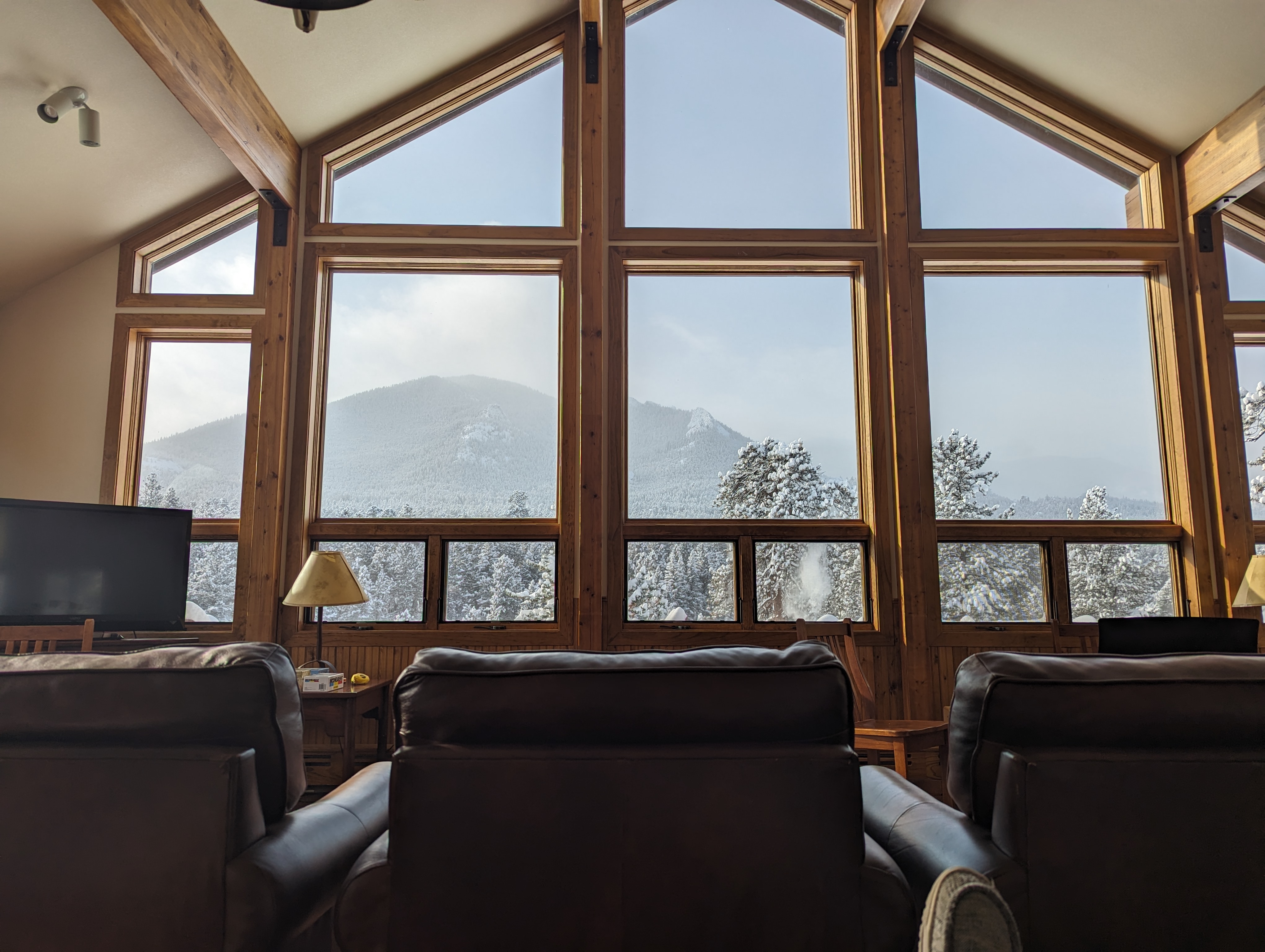
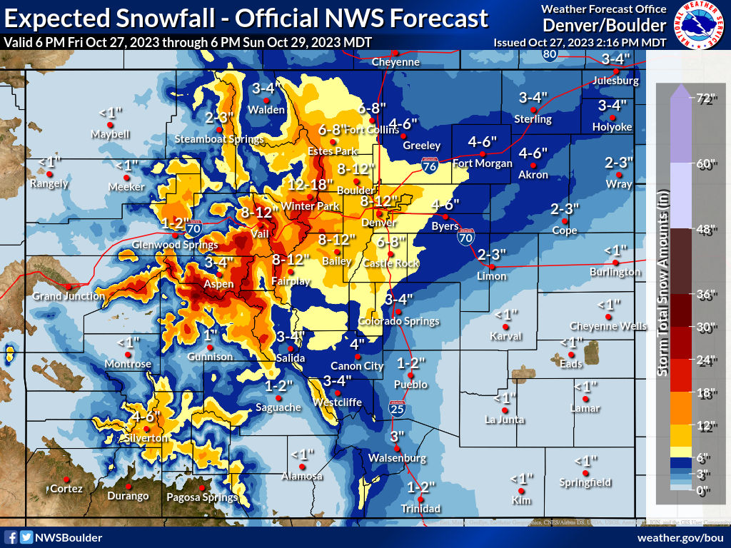
Not sure exactly how much Estes Park got, but we lost power this morning at the cabin we're staying at for a few hours. Probably 8-10" range total. Had like 3-4" yesterday and 5-7" overnight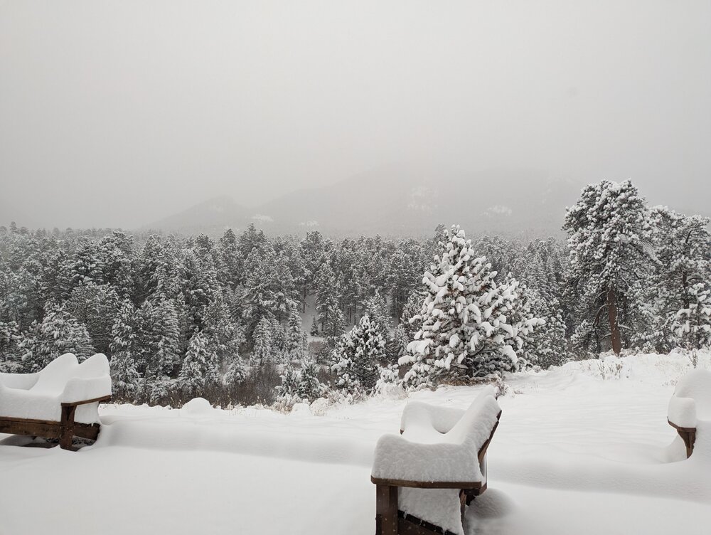
-
Mountain West Discussion- cool season '23-24
Newman replied to mayjawintastawm's topic in Central/Western States
I'll be in Estes Park for the weekend, NWS calling for 6-8 which sounds reasonable. Probably won't be going up into RMNP sadly. Denver looking like 8-12
-
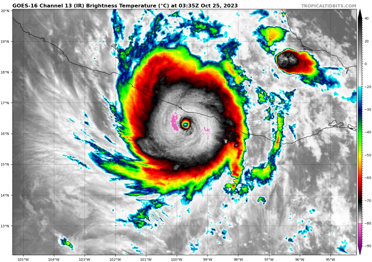
You hear nothing on the big news stations except the Maine and Israel situations. Mind you, those are big news stories in and of themselves. But this is a huge natural disaster just south of us and there's NO coverage at all. The images and videos coming out are just insane
-
Just checked and Acapulco has an estimated population of over 1 million people in 2023. For reference, there's only 9 cities in the US with a higher population. This is bad. Just incredible RI

-
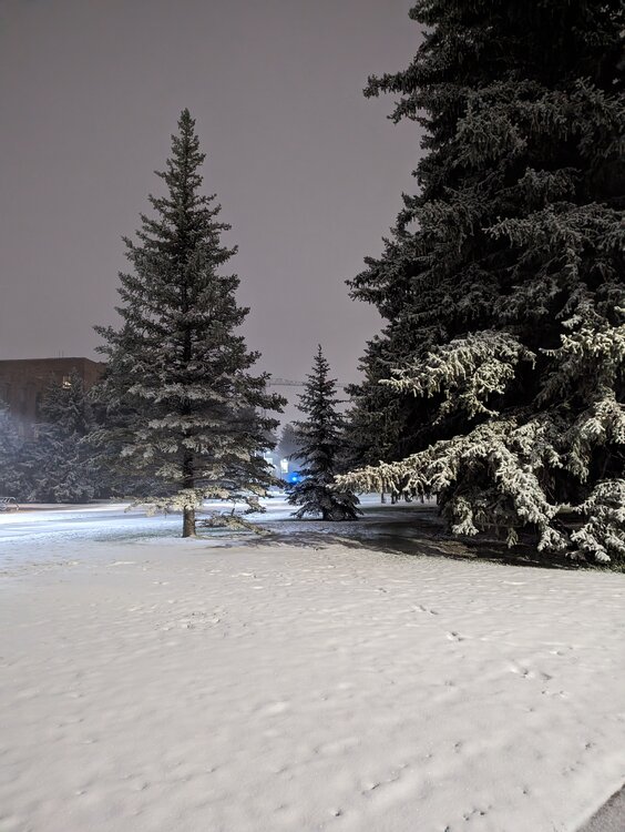
We received our first snow of the season this evening out here in SE Wyoming. About 2" or so in the grass, very pretty and already more than I saw the entirety of last winter in SE PA. Rooting for a blockbuster winter for y'all back east, I'll be back in PA for 3 weeks in Dec-Jan and hoping for some snow during that time!
- 851 replies
-
- 13
-

-

-

-
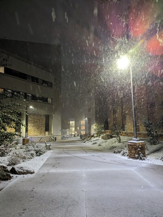
Ended up with about 1.5-2" on UW campus, most if not all of that coming this evening with the wrap around trowel.
-
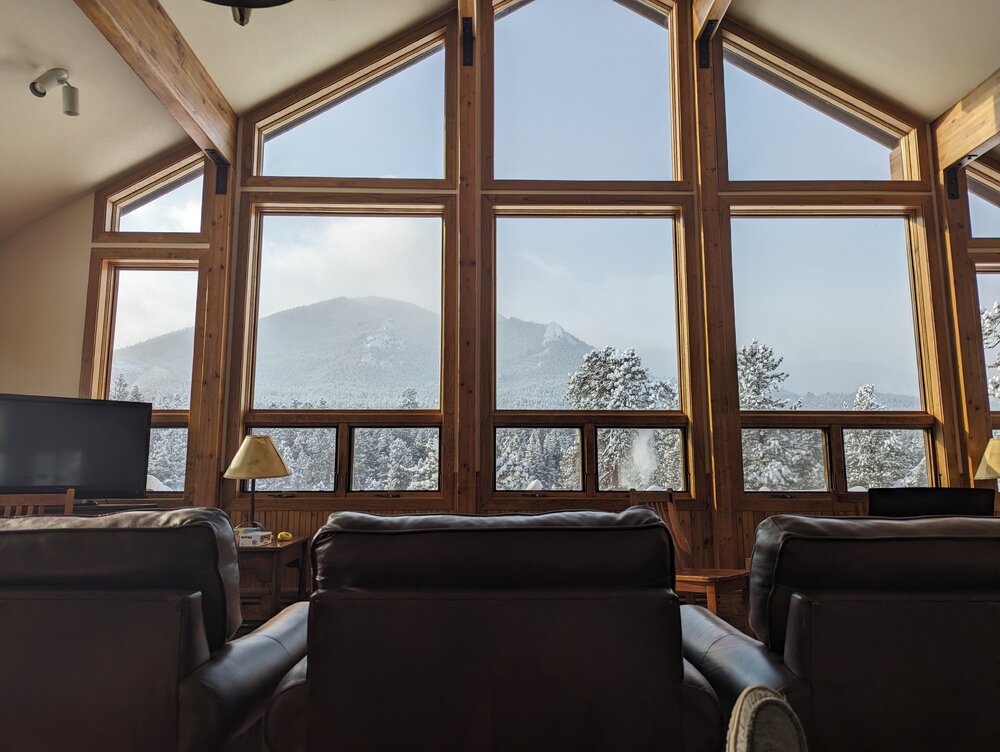
First snow of the season here in Laramie. Coming down nicely with a coating on grass and cars. Still too warm for any stickage on roads. Some decent accums up in the Snowies
.thumb.jpg.ac07b9c17ee7bea993694686033c7c93.jpg)
-
Yeah, Cheyenne is sounding confident in snow levels dropping fairly low up here for Thursday. The Snowies should see 10+" though. Laramie should see some accumulation
-
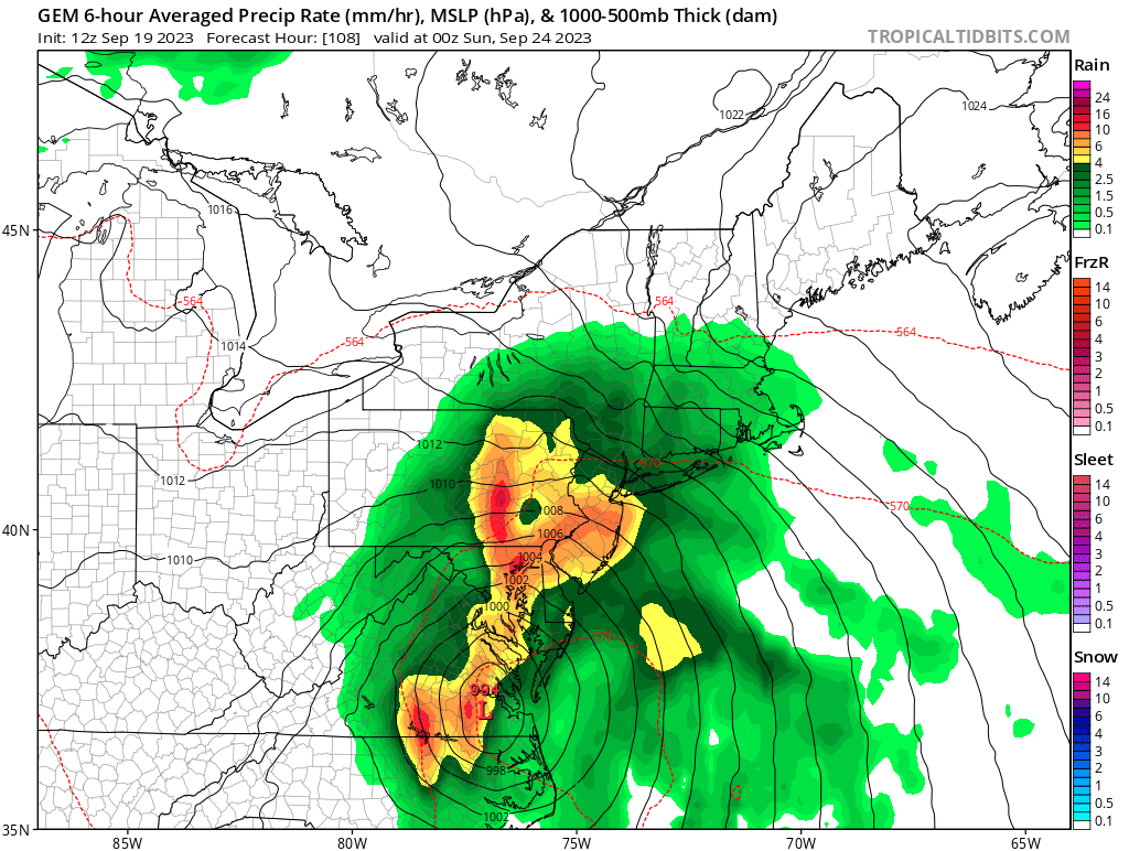
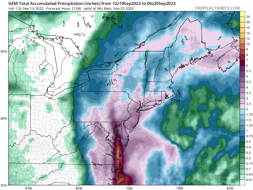
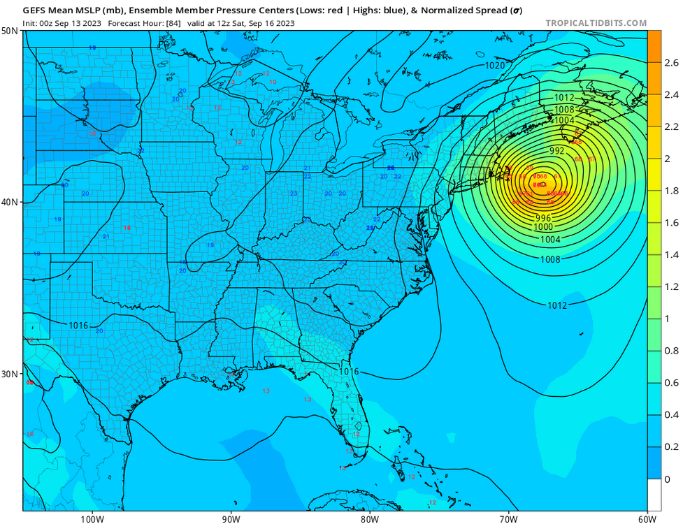
The 12z Canadian is pretty wet for the Mid-Atlantic this weekend


-
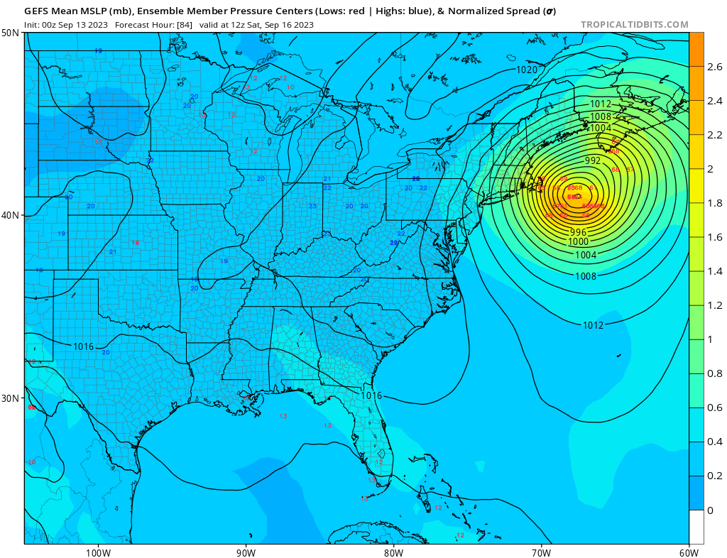
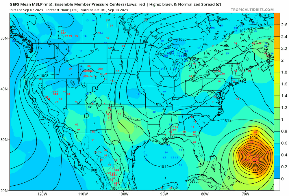
The lean is almost entirely on the SW side of the envelope of solutions
-
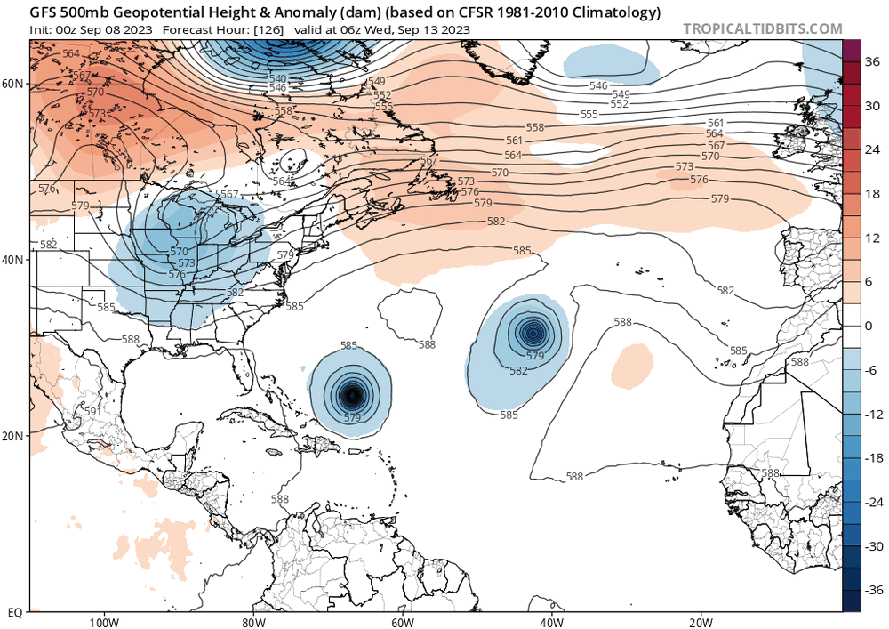
GEFS should follow suit with the op run, to no surprise. Through hr48 already slower and the trough is lifting out/less interaction with Lee
-
Boston College playing #3 FSU at home at 12 on Saturday lol
-
That was a huge shift SW on the GFS, will be super interesting to see the ensemble members
-
I wouldn't even want to get hit by whatever Lee is right now. Looks like crap
-
-
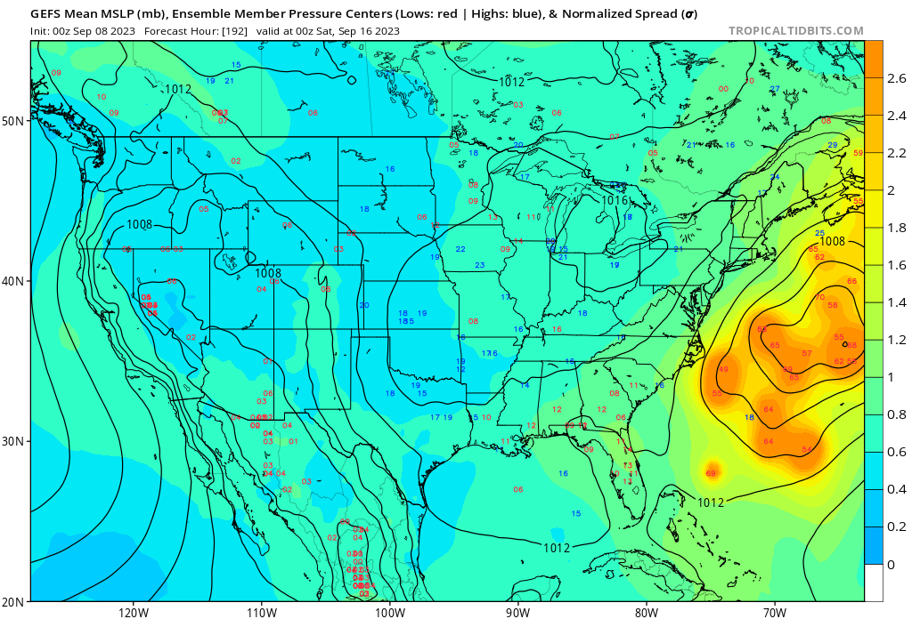
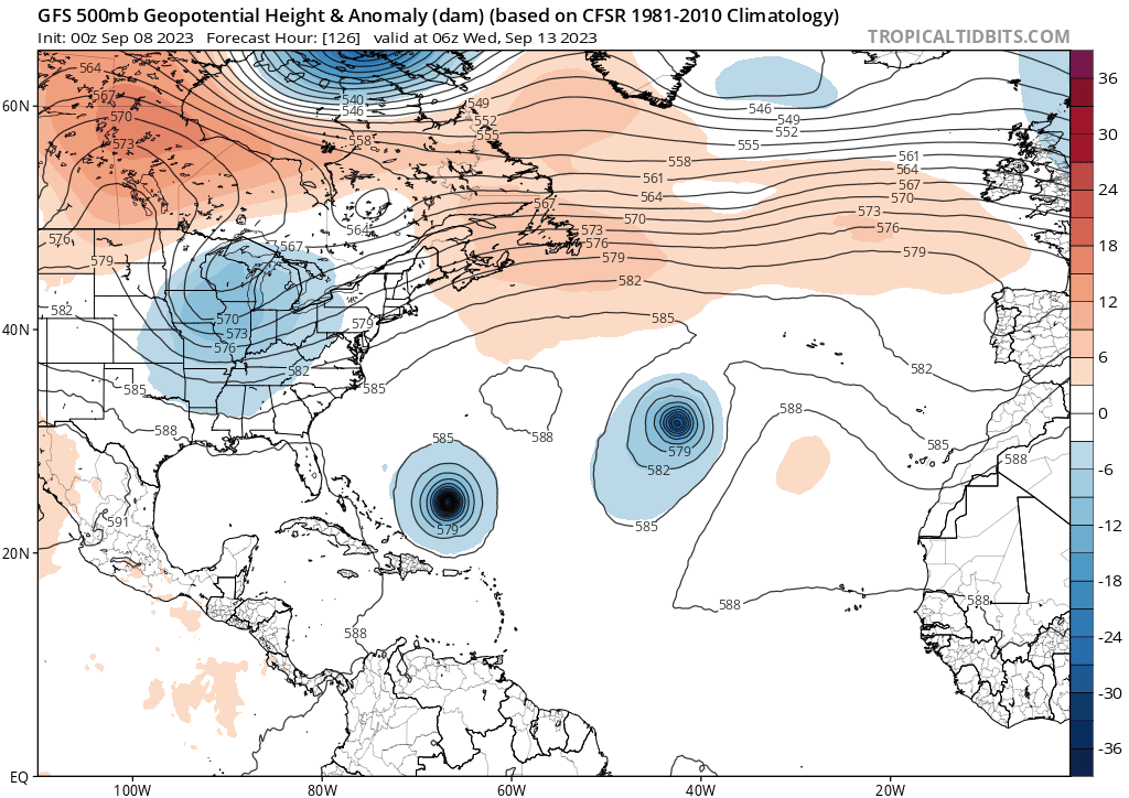
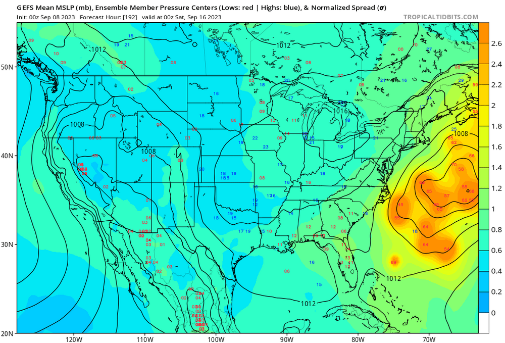
There are some big time western members on the 0z GEFS. Legit one tries to skirt North Carolina. Can't call anything a trend yet with regards to MSLP position really, but you can sure see the ridge over far eastern Canada (around Nova Scotia, Newfoundland, etc) trending stronger on the GEFS each subsequent run. Will be interested to see the spaghetti tracks for the ensembles Also to note, some of the more southwest ensemble members are there because of timing differences. There's a few members that get Lee essentially "stuck" in the northern Bahamas until the ridge moves out and it goes OTS. So a more W or SW member doesn't necessarily equate to a NE hit.
-
And the GEFS have quite a strong SW lean down in the Bahamas compared to the 18z run previously
-
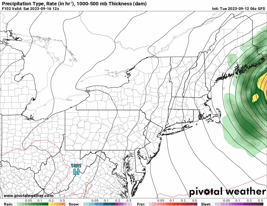
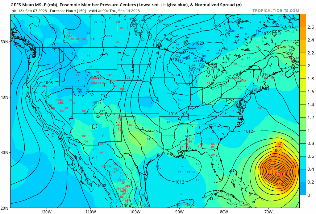
The biggest takeaway from that GFS run for me wasn't the impact location, per say. But rather we didn't see that bend/recurve OTS once past Hatteras latitude. Instead, it trucks on due north into eastern New England, similar to the Euro which moved straight north. So as you alluded to, that ridge and trough duo as currently modeled squeezes this thing due north. If you really want a strong New England impact, you'd want this trough to capture Lee, even if it's slightly, to pull it *just* a bit on a NW heading. But you take what you can get. I think y'all all know what's at stake here, and what's the likely outcome. I don't even live on the east coast anymore, but this is still an intriguing situation to follow and I'll be watching along
-
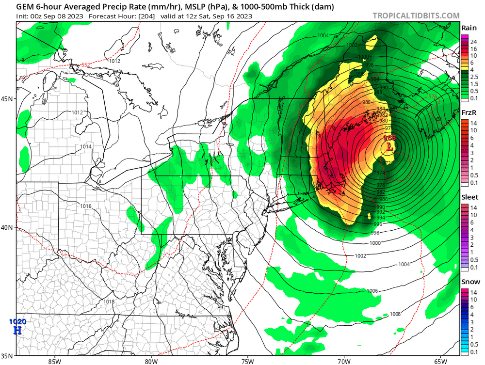
Say what you will, that was obviously the best looking GFS run in quite a few cycles if you're looking for a hit. Verbatim eastern Maine gets a good impact, as the extratropical transition would expand the leaf and winds on the western side
-
Latest update Cat 5 160mph
-
NWS Cheyenne mentions snowflakes at the high peaks this weekend. Point and click showing snow in the Snowies around Medicine Bow Peak for Saturday night-Monday


.jpg.86ced8d9aa1e4ce18643a766d8e15c23.jpg)