All Activity
- Past hour
-
 September DCA _ NYC _ BOS ___ ORD _ ATL _ IAH ___ DEN _ PHX _ SEA 1.5 1.0 1.0 1.0 1.5 1.5 1.0 1.5 0.5
 -
 Fall is in the air here this morning, currently 43F here in the Berkshires. It's 55F back in HPN.
 -
High of 78.6 yesterday. Currently 59
-
Down to a fantastic 45F here in E CT, great fall feel heading to Labor Day and Fair season!
- Today
-
Eastern Tropical Atlantic:A tropical wave is forecast to emerge off the west coast of Africa by this weekend to the south of the Cabo Verde Islands. Thereafter, environmental conditions appear favorable for some slow development of this system as it moves westward to west-northwestward at 15 to 20 mph, moving across the eastern into central Tropical Atlantic through the middle of next week.* Formation chance through 48 hours...low...near 0 percent.* Formation chance through 7 days...low...20 percent.
-

2025-2026 ENSO
so_whats_happening replied to 40/70 Benchmark's topic in Weather Forecasting and Discussion
Also wanted to post the latest for July and August via TAO on the subsurface look between 2N and 2S..thumb.gif.62b3ab872b6d52afd701d41cc007a7bf.gif)
-
I know several consider last winter to be a top analog, but there really has been a lot of change in the SSTA pattern in just about every basin. The observed pattern also feels very different. We had a high of just 70 F today in Tulsa for the 5th coldest on record, which is on top of a cool and extremely wet summer...very different from last year at least at this juncture.
-
2025-2026 ENSO
so_whats_happening replied to 40/70 Benchmark's topic in Weather Forecasting and Discussion
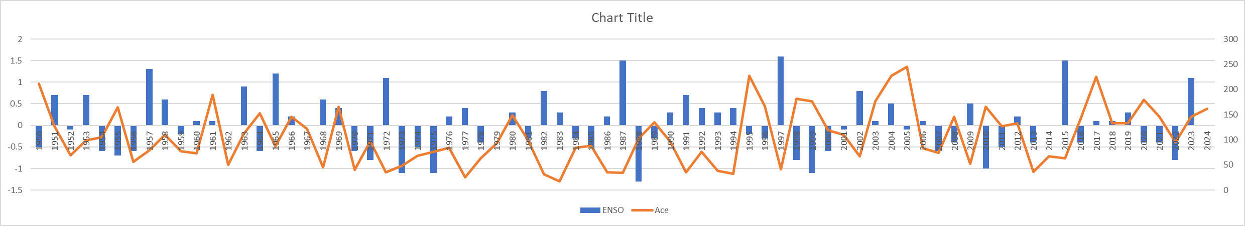
Did a very quick rather busy chart on excel. Basically it is the JJA ENSO data from CPC in blue and Ace numbers for the season in orange. Now this doesn't help explain where we came from like previous winter may have been Strong Nino and we crashed to weak nina by summer as an example which could play a role. This is for every year from 1950 to 2024. Edit: Had to fix it so you could see every year. Shame it does not have dots for Ace to see the years better.
-
 Down to 56. Can’t remember an August with so many 50s.
 -
 Your initial comment was correct. I work up a big sweat when I run in 35 degrees. If you're actually running instead of walking and it's an extended period of time, you're going to sweat profusely no matter what the temperature is. Anyway today was spectacular weather. It felt extremely comfortable with a high temp of 77 here.
 -
Though support has waned significantly since all but the GFS had it on Monday, the 0Z UKMET brought the E MDR AEW back from the dead (albeit with later TCG) with a minimal TS due to a strong pressure gradient below a rather strong Azores high moving WNW: NEW TROPICAL CYCLONE FORECAST TO DEVELOP AFTER 156 HOURS FORECAST POSITION AT T+156 : 15.6N 33.8W LEAD CENTRAL MAXIMUM WIND VERIFYING TIME TIME POSITION PRESSURE (MB) SPEED (KNOTS) -------------- ---- -------- ------------- ------------- 1200UTC 03.09.2025 156 15.6N 33.8W 1010 34 0000UTC 04.09.2025 168 16.9N 35.9W 1011 35 ——- But 0Z GFS/Icon and probably CMC have nothing.
-
Meanwhile, .15" on the day and that's the best day of this pitiful week
-
-Indeed, only 11 of 15 La Niña seasons (I’m including 2024) since 1995 had well AN active era ACE though that’s still near 3/4 of them. -For neutral: only 1/3 had well AN active ACE -For El Niño: only 2/9 had well AN ACE -So, La Niña has been associated with the highest odds by far of a high ACE season
-

2025 Atlantic Hurricane Season
WxWatcher007 replied to BarryStantonGBP's topic in Tropical Headquarters
There's no doubt that Erin has left a substantial wake--even more than I originally anticipated, but I'm not sure the wake has reduced the threat to the U.S. much, if at all. My analysis here is mostly based on location. Erin safely recurved between 70 and 75W. That's a location where many WNW and especially NW moving systems find their way getting kicked OTS. If a system is moving NW at 72W, it probably isn't going to be a threat to the U.S., especially given the current predominant steering pattern. If this wake were between 75 and 80W however, it'd signal to me that a bona fide threat to the U.S., a system moving through the Bahamas and just off the southeast coast, or a system moving northward from the very warm central and western Caribbean, would find a hostile thermodynamic environment. As it stands though, something hugging the coast is still likely to find enough positive SST anomalies and OHC to be a significant system if other atmospheric factors are also favorable. Let's say however that there is some hurricane that is moving westward or NW through that wake a month from now. A repeat of Florence for instance. It would certainly run into problems given its intensity moving toward the coast, but on final approach, it would find a more favorable thermodynamic environment. That opens the door to what we've seen frequently in recent years--intensification in the hours before landfall. It's an entirely different story if that wake is hugging the coast. Perhaps there is additional cooling given the current pattern, though I'd argue that it's hard to get a sense of where this area will stand in about a month, objectively the waters are still warm enough to be conducive, depending on the intensity of the hurricane. So while for now at least we've probably avoided the worst case scenario along the east coast with certain tracks, we are nowhere close to eliminating other viable, bad, options. I just don't want people getting a false sense of security that Erin and this current upper level pattern will save us...as recent years have shown us we can be incredibly active even when environmental conditions suppress weeks of peak season. That is my expectation of this season as well. -
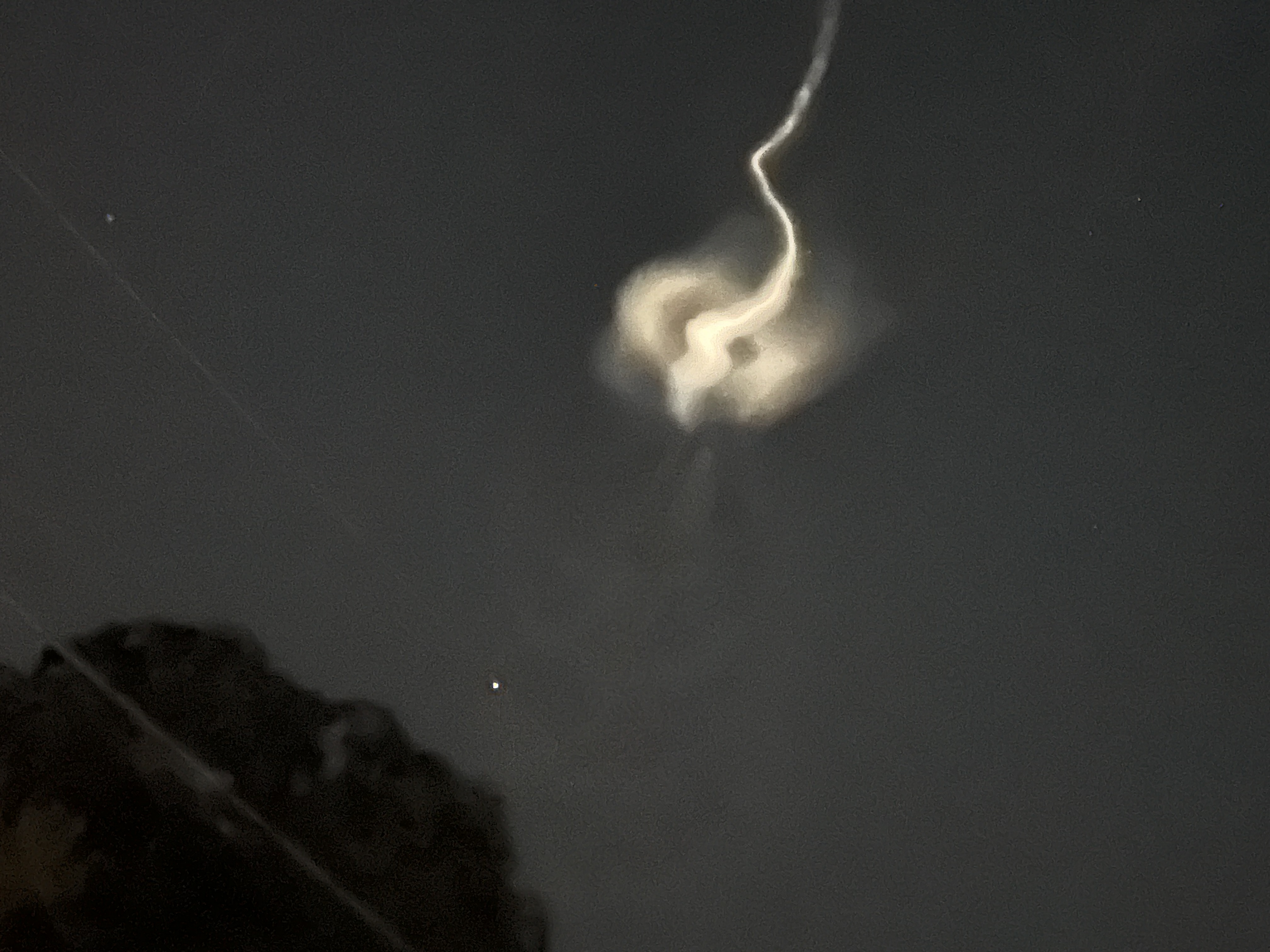
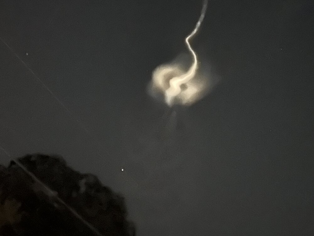
These are sounding rockets launched by NASA. Not really familiar with what they usually carry but this one sounds especially cool "The TOMEX+ mission will focus on a layer of atomic sodium in the atmosphere that peaks at about 56 miles (90 kilometers) altitude. This sodium layer forms from the constant influx of dust grain-sized meteors that burn up in the sky. A specialized laser aboard the TOMEX+ rocket, tuned to a wavelength that excites sodium atoms, will cause the sodium layer to fluoresce. This glowing band then becomes a natural tracer for atmospheric motions, allowing scientists to track its bends, ripples, and swirls as energy moves through the upper atmosphere."
-
Yep felt that one earlier in the day. Was taking a little snooze and then heard what sounded like a gunshot going off next door. Must’ve been a direct cg hit within a mile or so. Startled the hell out of me and the ol pooch lol. We’ll take the quick half inch or so from those downpours..every bit counts right now!
-
What is this?
-
Models/MJO suggest it should remain pretty quiet at least through the first week of Sept. Enjoy the chilly respite/rest while we have it as it may not remain that way for too long after that.
-
Probably this:
-
It faded, but is circular now visible for at least 5 minutes
-
-

2025 Atlantic Hurricane Season
TradeWinds replied to BarryStantonGBP's topic in Tropical Headquarters
Everywhere I guess since the entire water column is below 78F.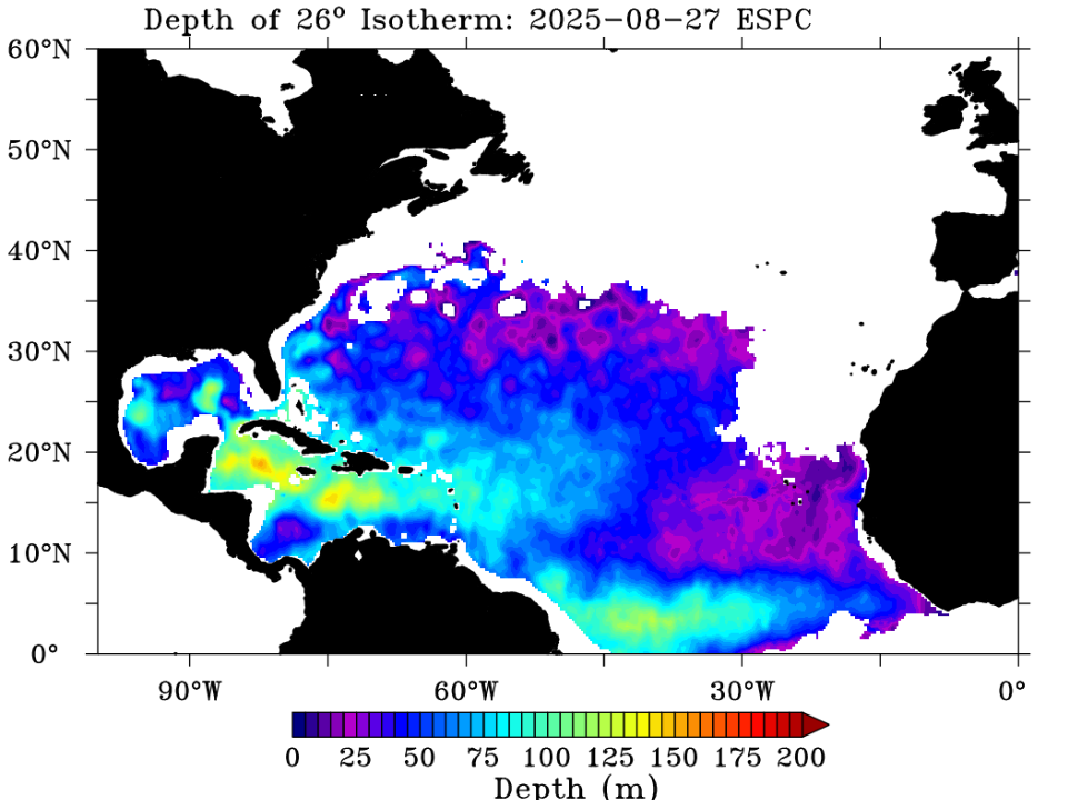
-
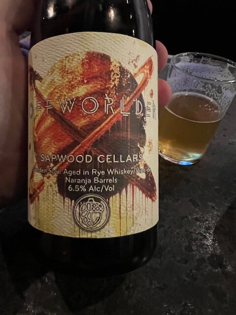
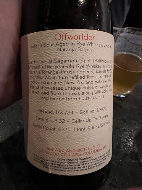
I just got off work and brought a bottle from Sapwood to share with a birthday staff member after our shift. Sapwood is rocking it.
-

2025 Atlantic Hurricane Season
WEATHER53 replied to BarryStantonGBP's topic in Tropical Headquarters
When that much cooler water gets upwelled, what temp and depth is it upwelling from? Thanks -
One thing I look at entering the Fall is the overall level of heat south of the United States. When you get warm ups ahead of storms in the Fall/Winter from much deeper heat sources it can really kill the cold shots in terms of the averaging out of the monthly/seasonal temps. From 1961-2024, the tendency for the top Atlantic hurricane seasons is for the West Coast to be pretty warm Jun-Aug. We haven't had that this year. There have been pretty cold periods on the West Coast this summer. We don't appear to be heading to a top ten type season based on the composite. 2005 has a passing similarity but had different placements for the subtropical features. But really 1995/1999 are the only two of the ten super seasons that have any kind of cold Summer pattern at all for the West Coast. The precipitation pattern is fairly similar but much wetter in the Plains and a bit drier in the East. But a lot of these active hurricane seasons have storms hitting the east/gulf to drive up their totals in Jun-Aug, which we haven't had this year. The precip pattern difference looks like 2025 is the active hurricane seasons, but on a spoke centered on FL, with the core of the moisture rotated counterclockwise toward the Plans. To me that implies completely different positioning of the Bermuda High from the hyper active seasons. But we'll see.


.gif.0189dd4b12ebe985883091371d289dfa.gif)