All Activity
- Past hour
-

Storm potential January 17th-18th
Dark Star replied to WeatherGeek2025's topic in New York City Metro
In general, I think most forecast models, almost at any time frame, were fairly reliable. If you relied on future radar, not so accurate. Future radar duped me once again. It showed a potential for 3-5" from afternoon into the evening... -
Whoa imagine boarding at -2 F with a thick snowpack and landing in lush vegetation, sun and 83 degrees four hours later
-

Storm potential January 17th-18th
bluewave replied to WeatherGeek2025's topic in New York City Metro
I picked up 3” just east of KHVN this weekend for a seasonal total so far of 13.0”. -
Low of 15 Colder than expected
-
Sad how no matter what the models show it’ll always rain in Gaithersburg
-
Would a stronger L like 991 push noth?
-

January 25/26 Jimbo Back Surgery Storm
WinstonSalemArlington replied to Jimbo!'s topic in Southeastern States
-
I take back everything I've ever said about AI. It can have all our jobs if it just brings us that snow.
-
Penhook's gonna get demolished
-
Yea
-

Rise of the Machines: January 18-19 Winter Storm Obs Thread
CoastalWx replied to WxWatcher007's topic in New England
Probably would be over 6 if I cleared -

Rise of the Machines: January 18-19 Winter Storm Obs Thread
SouthCoastMA replied to WxWatcher007's topic in New England
Enjoy dude! Ended up with around 5" cement here. it's compacted to like 3 o 4" now. it's going to be here for a while -
Pretty good especially now that a pro met said not to take the Ai seriously!
-
BWI had 0.2” yesterday. Haven’t seen anything for IAD or DCA.
-

January 2026 regional war/obs/disco thread
jbenedet replied to Baroclinic Zone's topic in New England
To be sure, I thought the axis of heaviest precip would be closer to I80 a few days ago. Now that’s the margin to be out of this completely already, imo. Trend hasn’t been good on a “north trend” if you zoom out to few days ago. -
Rise of the Machines: January 18-19 Winter Storm Obs Thread
CoastalWx replied to WxWatcher007's topic in New England
Looks more like 4.5-5” of glue -
I believe this would be a better run than the 0z was
-
Not really. It has a far norther storm but gets there differently than the ai gfs. Ai gfs is still primarily a west to east system that just gains some more latitude while the ukmet just rams the primary low up the Ohio valley to our west.
-
Benchmark
-

Rise of the Machines: January 18-19 Winter Storm Obs Thread
weatherwiz replied to WxWatcher007's topic in New England
Can’t ask for a more wintry look then this
-

Storm potential January 17th-18th
IrishRob17 replied to WeatherGeek2025's topic in New York City Metro
@The 4 Seasons 4.5" Saturday and 2.5" on Sunday here near KMGJ. Season total is 25.2" -
Bullish
-

Rise of the Machines: January 18-19 Winter Storm Obs Thread
bristolri_wx replied to WxWatcher007's topic in New England
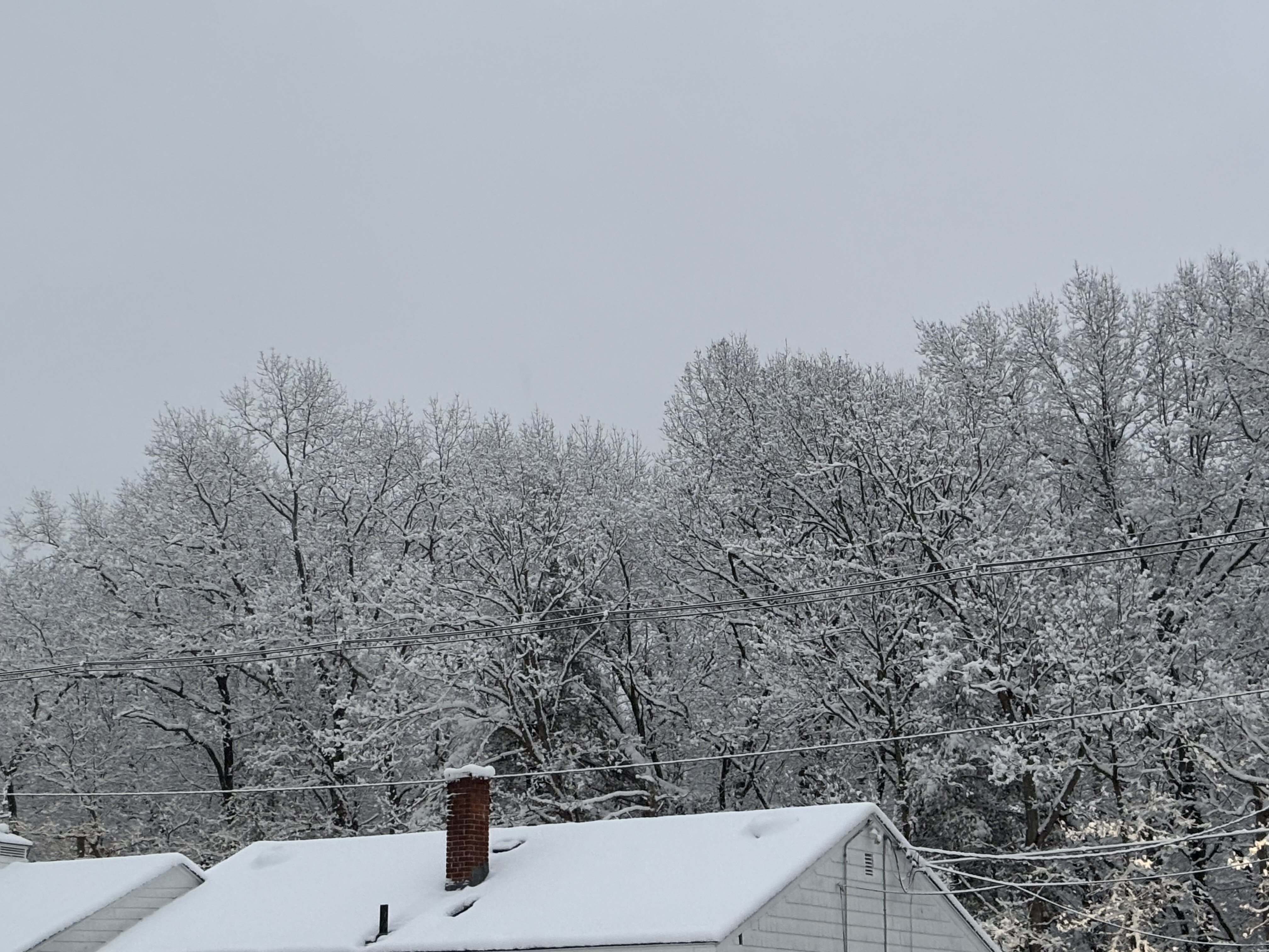
4” here. Extra wet stuff with some fluffier snow towards the top. -
We're in the historical wheelhouse of the EPS and Euro-AI, and they still show a whopper of a storm.
-

Rise of the Machines: January 18-19 Winter Storm Obs Thread
VivaManchVegas replied to WxWatcher007's topic in New England
Shoveled a path to the truck. 4 to 5 would be right just as they drew it up. Was surprised to see it still snowing. 27 degrees.