All Activity
- Past hour
-

Hurricane Erin - 75 mph - 996 mb - WNW @ 18
BarryStantonGBP replied to BarryStantonGBP's topic in Tropical Headquarters
Don't know but those three blasted reggaeton on the island -
Without digging into it, I would guess there probably isn't much of a correlation between early Fall cool periods and the overall upcoming winter pattern. It's just too soon for the character of winter to show its hand, for many reasons. Maybe @psuhoffmancan shed some light on this.
-
 Tomorrow will turn cooler before it turns briefly warmer on Sunday. Highs on Sunday could reach the upper 80s. Parts of the region could reach the lower 90s. Noticeably cooler air will then overspread the region. High temperatures will likely reach the upper 70s Monday through Wednesday and then the lower 80s on Thursday. The extended range guidance increasingly suggests that the closing week of August could feature below normal temperatures. Precipitation could be near normal. The synoptic pattern should limit direct tropical cyclone threats for the foreseeable future. Impacts from elevated tides, surf, and rip currents would be the most likely effects produced by Erin as it tracks well offshore between the U.S. East Coast and Bermuda. The ENSO Region 1+2 anomaly was +0.8°C and the Region 3.4 anomaly was -0.3°C for the week centered around August 6. For the past six weeks, the ENSO Region 1+2 anomaly has averaged +0.50°C and the ENSO Region 3.4 anomaly has averaged -0.15°C. Neutral ENSO conditions will likely continue into early autumn. The SOI was -4.61 today. The preliminary Arctic Oscillation (AO) was -0.285 today. Based on sensitivity analysis applied to the latest guidance, there is an implied 57% probability that New York City will have a cooler than normal August (1991-2020 normal). August will likely finish with a mean temperature near 75.6° (0.5° below normal). Supplemental Information: The projected mean would be 0.4° above the 1981-2010 normal monthly value.
 -

Hurricane Erin - 75 mph - 996 mb - WNW @ 18
Boston Bulldog replied to BarryStantonGBP's topic in Tropical Headquarters
Bermuda is very well protected by cliffs from the south, also it’s a relatively hilly island. Incredible building codes too. Honestly hurricanes are rarely a big deal there -
I guess the pools won't be reopening.
-
Hey snowman, How do you define a “big tropical season”? Thanks.
-
So a few weeks ago I was complaining about how I thought this being the most humid summer I can possibly remember. Well I came across this article from a few days ago basically detailing that a lot of states have had their most humid summer ever recorded with dew points 6 degrees higher than the 1951-2020 average. That's actually insane. https://www.wtnh.com/news/national/feel-sticky-this-summer-its-been-record-muggy-in-the-northeast/ "More than 70 million Americans sweated through the muggiest first two months of summer on record Parts of 27 states and Washington, D.C., had a record amount of days that meteorologists call uncomfortable — with average daily dew points of 65 degrees Fahrenheit or higher — in June and July, according to data derived from the Copernicus Climate Service. And that’s just the daily average. In much of the East, the mugginess kept rising to near tropical levels for a few humid hours. Philadelphia had 29 days, Washington had 27 days and Baltimore had 24 days where the highest dew point simmered to at least 75 degrees, which even the the weather service office in Tampa calls oppressive, according to weather service data. The summer of 2025 so far has had dew points that average at least 6 degrees higher than the 1951-2020 normals in Washington, Baltimore, Pittsburgh, Richmond, Columbus and St. Louis, the AP calculations show. The average June and July humidity for the entire country east of the Rockies rose to more than 66 degrees, higher than any year since measurements started in 1950. The area east of the Rockies has on average gained about 2.5 degrees in summer dew point since 1950, the AP analysis of Copernicus data shows. In the 1950s, 1960s, 1970s, 1980s and part of the 1990s, the eastern half of the country had an average dew point in the low 60s"
-

Hurricane Erin - 75 mph - 996 mb - WNW @ 18
Wannabehippie replied to BarryStantonGBP's topic in Tropical Headquarters
How many others missed? -
Congratulations! You're both blessed either way.
-
'90s + on Saturday?
-
Euro is around 90 both days next weekend.
-
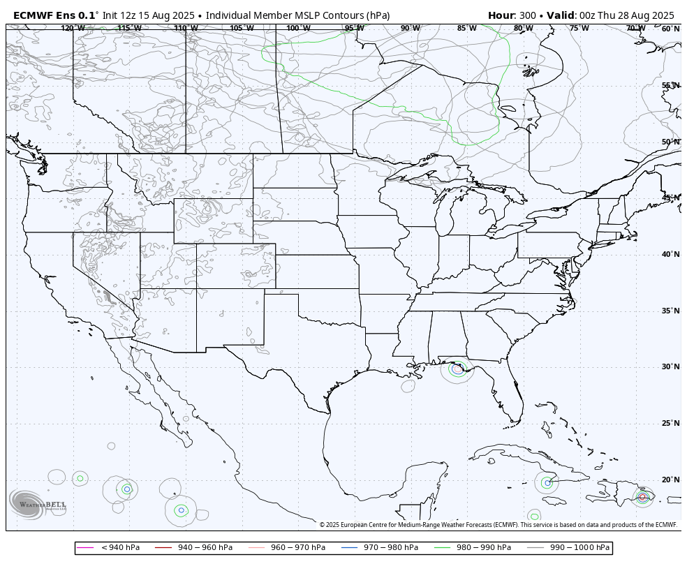
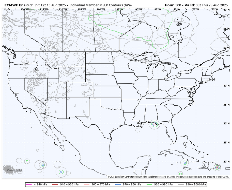
Regarding the followup to Erin that GEFS remains pretty active with, the 12Z Euro ensemble is much quieter for the same time:
-
it's been forever since I talked about lawncare. I get that, didn't know or forgot was called lawn dormancy tbh I do realize that most lawns don't "die" so it makes sense.
-
Was being a taxi for the younger Ms J for her dog walking jobs. Got caught in that blob back about 20 min ago on the NW side of Frederick. Military Rd. right along Ft. Detrick was a pond. Got her back to her day sit and then looked at 15 and decided it was not worth it so took surface roads back home.
-
Hurricane Erin - 75 mph - 996 mb - WNW @ 18
BarryStantonGBP replied to BarryStantonGBP's topic in Tropical Headquarters
Not according to Ernesto, Gonzalo and Humberto -
Hurricane Erin - 75 mph - 996 mb - WNW @ 18
Wannabehippie replied to BarryStantonGBP's topic in Tropical Headquarters
It is so difficult to get a direct hit on Bermuda. Tiny dot in a big ocean. But everything there is so low lying, even a near miss will cause problems. -
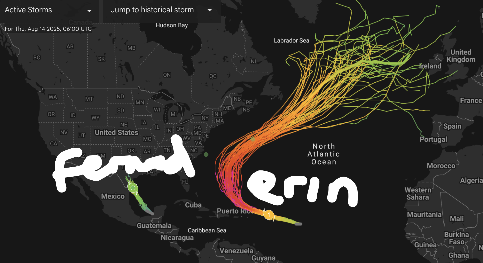
2025 Atlantic Hurricane Season
BarryStantonGBP replied to BarryStantonGBP's topic in Tropical Headquarters
Aight never mind it’s Fernand and Gabrielle now with wave 2 coming first or what because 98L took an L I gotta Check back
-
Hurricane Erin - 75 mph - 996 mb - WNW @ 18
Wannabehippie replied to BarryStantonGBP's topic in Tropical Headquarters
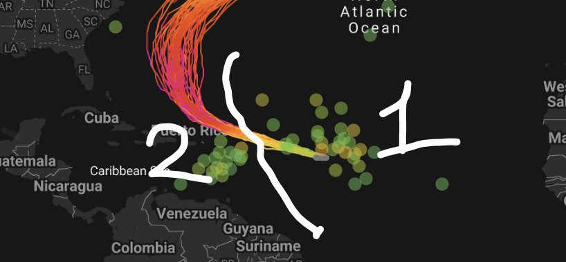
I can't tell if Erin is trying to pop an eye, or if it is the dry air being entrained in. -
Haha, just noticed the valid time is all.
- Today
-
2025 Atlantic Hurricane Season
BarryStantonGBP replied to BarryStantonGBP's topic in Tropical Headquarters
Any extrapolations? -
you said "it wouldn't take much" It would take a lot for that - that should be a clue to the extreme unlikeliness without even touching theory.
-
not a "close call" or scrape on any operational model, nevermind a direct hit. Inside D7
-
Yeah you guys have had one tough summer. I have a friend in Cape Breton and she says it's been awful.
-
DO NOT LOOK. GFS OP has formable Fernand. Well within believable range. Maybe get lucky in the tracking of having a storm on the grid till the end of October. Likely not given the phase of the MJO.
-

Hurricane Erin - 75 mph - 996 mb - WNW @ 18
Eskimo Joe replied to BarryStantonGBP's topic in Tropical Headquarters
Unless I'm seeing things, Erin appears like she's trying to pop an eye.