All Activity
- Past hour
-
.thumb.gif.f92b16c631a1d15d405ed77b33f0710d.gif) It's histrionic clickbait, agree 100%. I just liked the "tHiS sToRm is going to EXPLODE" headline and the heat dome thing that is what makes money. we adapt
It's histrionic clickbait, agree 100%. I just liked the "tHiS sToRm is going to EXPLODE" headline and the heat dome thing that is what makes money. we adapt -
DCA flipped to a west wind and is back to 90F.
-

Fireworks Heat Contest W 7/1 - S 7/4 for Five MA Airports
nw baltimore wx replied to nw baltimore wx's topic in Mid Atlantic
I think these are the high temps for Thursday, but I need confirmation from someone reputable with a like. DCA 102 BWI 101 IAD 98 SBY 97 RIC 96 If correct, then current overall standings after day 2.
-
I believe it's 86F. Central Park is 84F.
-
Alright it oughta get cooler at night, right? *steps outside*

-

2026-2027 Super El Nino
GaWx replied to Stormchaserchuck1's topic in Weather Forecasting and Discussion
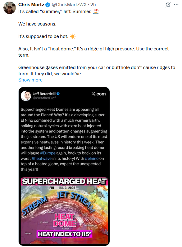
I don’t agree at all with Jeff B. implying a connection of super-Nino and the current E US heatwave. The mean temp in July (and also in summer as a whole) comes out close to normal rather than hot in the E US when averaging RONI based super strong El Niños. Hardly any were hot. 1957, 65, 72, and 97 were slightly cool. 1982 and 2015 were NN. Only 1991 was hot. That’s just 1 of the 7! That’s enough for me to say that the upcoming super-El Nino in combo with GW is not the direct cause for the current E US heatwave as Jeff said. GW, by itself, obviously favors hotter heatwaves than when the Earth was cooler. But the supposed super-El Nino piece of this, itself, correlating to E US heat does not compute to me at all. I also don’t at all agree with Jeff calling this one of the most expansive U.S. heatwaves. That’s simply not true. Intense in the VA to Boston corridor? Yes. But not one of the most expansive U.S. heatwaves.
-
Midwest thunderstorms are something else. Getting hit here in Chicago and the lightning is just constant. Tomorrow's a slight risk.
-
 Fuzzy anvils = bad sign for storm!
 -
They largely do not/can not or ignore it. Why let something like that interfere w/ a particular narrative or ideology? And actually accounting for it is practically impossible. Sites move, land and water areas near and around sites change, and so does equipment type, and every location has its own unique changes over time. Given only about 2% of globally land is urbanized, and there is a distinct bias having GHCN stations near or in urban areas, well, it's not rocket science to see the problem here. Here's another thing that is not generally known or mentioned. Digital thermometers run warm. This is b/c they can record instantaneous temps well, unlike analog/glass thermometers of the past. Yes, ASOS is designed to take an avg of the temp for the last 5 min, but this is not standardized w/ all sensors/sites globally. And some agencies will take instantaneous temp spikes from artificial heat sources, and call that a max temp for a day or a record if applicable, even when it is obvious something is off. Or just use a site's 1-min temp data in calculations for mean temps. This falls along the lines of "how to lie w/ statistics." There are many, many way to crunch and manipulate data, let alone pick and chose data sources, that validate this statement.
-
Yeah last summer we had our worst heat wave in late June with 100 degree temps for a few days, but then we didn't get another extreme heat wave like that again the rest of the summer. Very unlikely to get this type of heat wave twice in a summer, but of course you never know for sure. Anyway I had a high temp of 104. Probably gonna be the same high on Friday.
-
What's their all time high record low (anyone know?) Imagine if it was July 27!
-
me too. and the MRB station unfortunately goes down a lot.
-
The running joke back in the day was if you want hot, look at the bank thermometer! Pre-Internet all you had was the wx radio and the local news, so *any* other thing you could find that gave you wx was big!
-
How about this? The temp sensor at Logan in the late 1970s was moved from near the NWS building area to the center of the runways. This is why you see many 100 F+ readings up to July 21, 1977 and then not another 100 F reading until July 14, 1995. The UHI increase took 18 years to build enough to push temps to 100 again in the runway area that is surrounded by water on 3 sides.
-
 80F at midnight. Brutal. Meanwhile it’s possible on Tuesday some places don’t get out of the 50s for a high. Doubt this happens, but what a swing if it did.
-
 I was about to give you a hard time for being so triggered over these clowns, but then here I am ready to Will Smith the next person I hear say "heat lightning".
 -
Classic vague tease. "Get ready" For what? Makes one click! And the arrow points to northern Mexico? And it is totally unclear what the color shading is depicting, but as long as it is bright and flashy, who cares!
-
94F at midnight at LGA lol
-
And the media mode skews perception big time. It makes things appear a lot worse than they actually are. The relentless nature of it wears on ppl psychologically, to the point pp start believing it merely b/c it is repeated so many times. That's more in line of propaganda, rather that proof/fact. The most overused wx buzz word or phrase these days is "we're tracking!" Why wouldn't they be tracking? That's would be like saying, "we're forecasting! Superfluous and fluff language to make things sound more important than they actually are.
- Today
-
Flash Flood situation setting up for parts of Chicagoland...
-
The heat index actually jumped to 105 at Farmingdale when the seabreeze came through because the dewpoint jumped from 63 to 71. By August the seabreeze won't be any relief anymore and just makes it worse.
-
out on the tarmac at EWR it's still 93F lol. The river wind "cooled" it down a bit at DCA, but Philly and NYC are still 90+ at this hour.
-
Now imagine this every single day for 3-4 months, with a stronger sun since you're in the South. That's TX and what I dealt with in 2015-16. And no, in Austin it's not a dry heat. I hated it really quick-you can't do anything outside until the evening or early morning, and even in the evening it's often still in the upper 90s. I went from record never ending deluge in May 2015, historic Memorial Day floods and severe to not a drop after in June and baking until October when we had another record deluge from the remnants of Hurricane Patricia.
-
be careful! it was brutal there for a bit.
-

2026 Mid-Atlantic Severe Storm General Discussion
high risk replied to Kmlwx's topic in Mid Atlantic
While Friday is indeed capped with no real trigger, there are a couple of CAMs that have a complex of storms dropping south out of PA during the early evening and initiating new storms in our area on the outflow. That said, I'm certainly on board with the prevailing idea of better chances of storms Saturday-Monday with severe and flash flood threats.