All Activity
- Past hour
-
Later today I am going to make a special thread for what is upcoming...focusing on convection but there will be other goodies
-
Forecasts like this are why I'm so damn happy to be retired. Having to work in stuff like this coming heat sucked.
-
to be honest humans change everything if you want to widen the scope, so do other animals plants and even microbes if it weren't for blue green algae (not algae lol) our atmosphere wouldn't be the way it is and we would not exist.
-
and yet our last real extreme records were from 2011, so I'm not sure how much this translates to the surface.
-
That was one of our last historic heatwaves because the entire region got above 100
-
If you think that's funny the 12z GGEM just gave us a backdoor cold front for next Tuesday, the same day the Euro was giving us upper 100s yesterday:

-
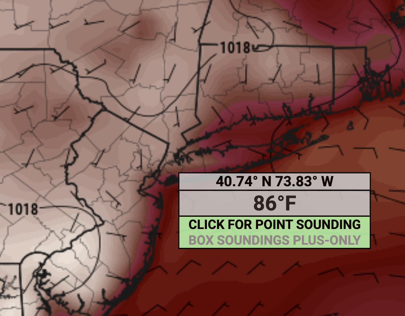
Heat is coming baby.
-
@forkyfork the GFS just doesn't a strong westerly flow at the surface to fight off the afternoon seabreeze for the people east of 95. I am not saying it's right, although I really hope it is! This is all deep into fantasy range anyway.
-
No problem from me ... I've smirked the notion in multiple post over the last 10 years. Climate forcing probably began the moment that inquisitive proto modern human picked up stick still aflame at one end somewhere along the sub-Saharan African savanna, and it it dawned on him/her. Well not right then - ... but controlling fire. It just needed 200 years of Industrial humanity to become very obvious ... Before then, it's presence was buried in the noise of natural variability.
-
That’s the thing though. We have been seeing near to record Southeast Ridges over the last decade with both -PNA and +PNA patterns. So the wavelengths have been shifting to allow for this new circulation pattern. The Northeast set all time 500mb height record around 599 DM last June with a very strong +PNA. Same for the the all-time June heat in 2021 with a June 500mb height near the record. This time around we look to challenge the 500mb record only a year later with a -PNA and more record heat for June possible. https://ftp.cpc.ncep.noaa.gov/cwlinks/norm.daily.pna.index.b500101.current.ascii
-
A bit more seabreeze on Tuesday as well compared to 6z. Still gets to 100+ but coastal places cool off to reasonable levels
-
The 12z GFS has a stronger SSE breeze for Monday keeping the coast from the full roast, it's a bit cooler than the 6z run.
-
.72 yesterday and .93 after midnight..
-
Getting Ray Bradbury All Summer In A Day vibes
-
well shit
-
No. They maintain the site just fine. But it’s located right on the widest part of the Delaware River. So it runs cooler than the rest of Philly and Eastern PA. Data for January 1, 2020 through June 17, 2025 Click column heading to sort ascending, click again to sort descending. HARRISBURG CAPITAL CITY AP WBAN 103 SHIPPENSBURG COOP 102 MURRYSVILLE 2 SW COOP 102 ACMETONIA LOCK 3 COOP 102 WOLFSBURG COOP 101 CASHTOWN 1S COOP 101 PHILADELPHIA FRANKLIN INSTITUTE COOP 101 Reading Area ThreadEx 101 Philadelphia Center City Area ThreadEx 101 READING REGIONAL AIRPORT WBAN 101 OCTORARO LAKE COOP 100 SAFE HARBOR DAM COOP 100 BIGLERVILLE COOP 100 CHAMBERSBURG 1 ESE COOP 100 YORK AIRPORT WBAN 100 NORTHEAST PHILADELPHIA AIRPORT WBAN 100 NORRISTOWN COOP 100 HANOVER 4 SW COOP 100 LANCASTER AIRPORT WBAN 100 MIDDLETOWN HARRISBURG INT'L AP WBAN 100 Williamsport Area ThreadEx 100 Middletown-Harrisburg Area ThreadEx 100 CARLISLE WATER PLANT COOP 100 WILLIAMSPORT REGIONAL AP WBAN 100 PHILADELPHIA INTL AP WBAN 99
-
I see that Satan's grundle is going to follow me back home this upcoming weekend Sent from my SM-G970U1 using Tapatalk
-
Ridge seems to be normalizing a bit on the 12z GFS
-
Altho that looks like a ripe environment for overnight MCS over the weekend
-
Either way it's gonna be hot next week. First real dose of summer after a pretty cool spring.
-
High chance of thunderstorms this afternoon. Then, a lot of the West has heat advisories
-
It is definitely getting warmer and more humid out 77/68 skies are brightening up.
-
No, sandy destroyed everything in Little Ferry except where i grew up and live again. Highest point of town and only party that don't require flood insurance after all flood maps were updated because of sandy. I lived in New Milford during Sandy, our area and old home were without power for almost a week.
-
got anything for 2010 or 1993 or 1991 Tony?
-
as long as it hits 100+ for at least one day, it can snow on Thursday for all I care.