All Activity
- Past hour
-
That's exactly it. If you had a more displaced jet you 1) open the door to more shear being imparted on a TC, which would lower potential and 2) more on point with this subject, you make it much harder for an "easy" recurve into the open Atlantic because the jet being displaced leads to the subtropical high being displaced--"blocking" a storm from easily recurving OTS depending on in-situ conditions (like is at TC following another into a weakness in Atlantic ridging). So think of it this way--there are always going to be weaker troughs/fronts that can serve as a kicker, but with a jet that is displaced so far to the north you get ridging that can steer waves further west into the Caribbean (where a landfall is all but guaranteed) or the southwest Atlantic, where a ridge could keep a wave/TC plowing west or a weaker trough/front could turn something north/northwest along the East Coast. This is part of the reason why this seems like more of an EC season, at least through the end of the month. The seasonal steering pattern has been highly favorable for US strikes, and the background environment with ENSO implies that this kind of predominant ridge/trough pattern could last into the peak of the season. (image below from Webb) I chose these time stamps for 10 days out, but this is an enormous signal for carrying anything that develops in the Atlantic west, provided it doesn't develop in the central Atlantic subtropics. That's why you see such a robust signal from the GFS/Euro operational guidance. There's a massive ridge and no currently modeled weaknesses to turn something OTS. If things got active in the Atlantic in the last 2/3 of August someone will be in trouble.
-
Very impressive storm for this time of year with such a strong +NAO vortex.
-
 Yes that’s the only one we felt personally here on LI. The basement door was shaking
 -
 Btw when it was in the 90s in October 2019 it felt hot as balls despite lower sun angle lol
 -
Forget the 80s, that's not what makes September a nice month. 70s for highs and lower dews is what makes a nice September. Extended summer is just more 70 degree dewpoints and crap weather as far as I'm concerned.
-
 Hurricane next week. Remember Irene and the earthquake a week before ?
 -

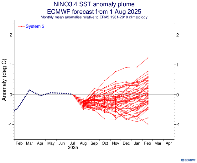
2025-2026 ENSO
brooklynwx99 replied to 40/70 Benchmark's topic in Weather Forecasting and Discussion
ECMWF seasonal is pretty close to what myself and some others are thinking... pretty solid tendency for -EPO early on with the TPV likely displaced into SE Canada at times. also a bit of a signal for blocking early on, too? wouldn't be shocking with the -QBO sure, it likely ends up 1-2F AN, but nothing prohibitive, and there will be spells where the pattern is actually conducive for snowfall. i'll take it -
 Global warming?
 -
yeah it was cool, here's a neat moon shot video from last night https://www.foxsports.com/watch/fmc-9drb0dd9yytveey9
-
 80-82 in September is fine-that's extended summer to me. Sun angle is lower so doesn't feel as hot
 -
Exactly! Why would you want extended summer then?
-
 That was real WTF situation. I ran out the house. Today was mild - felt it tho. Could have been a truck in my mind I suppose but these go on for like 10 seconds. we need a quake thread if this keeps up
 -
 Yeah I felt the quake, I thought Chris Christie dropped on my roof.
 -
 Was just thinking the same thing. Never remember this frequency of quakes growing up. Nothing beats the one back in the Spring of 24. That was in a class by itself at least in my area.
 -

2025-2026 ENSO
40/70 Benchmark replied to 40/70 Benchmark's topic in Weather Forecasting and Discussion
Is there any winter correlation for having such a sustained and robust +AO/NAO this time of year? -
Be happy it's not Winter July was the 6th consecutive month of +NAO. Cumulative NAO value of +3.75 in that time. July was the 5th consecutive month of +AO. Cumulative AO value of +3.2 in that time. It's looking like August may be the 7th consecutive +NAO month, with a projected Aug 1-15 value coming in around +1. The odds of having 7 consecutive months in either direction is 1/64.
-

2025-2026 ENSO
Stormchaserchuck1 replied to 40/70 Benchmark's topic in Weather Forecasting and Discussion
The CPC monthly page has updated July was the 6th consecutive month of +NAO. Cumulative NAO value of +3.75 in that time. July was the 5th consecutive month of +AO. Cumulative AO value of +3.2 in that time. It's looking like August may be the 7th consecutive +NAO month. The odds of having 7 consecutive months in either direction is 1/64. -
hon hon hon oui oui
-
 Eventually every season will just be summer/spring
 -
 Reddish look to the moon last night too.
 -
-

2025-2026 ENSO
PhiEaglesfan712 replied to 40/70 Benchmark's topic in Weather Forecasting and Discussion
I do think a destructive storm like Hurricane Andrew is possible, but I feel like the general pattern this year is an active Pacific and a quieter Atlantic. This has a 1992 feel to it. -
 2.7 for the aftershock.
 -
Is it just me or more earthquakes around here than normal?


